
Google Map: (More Links and Maps Below)
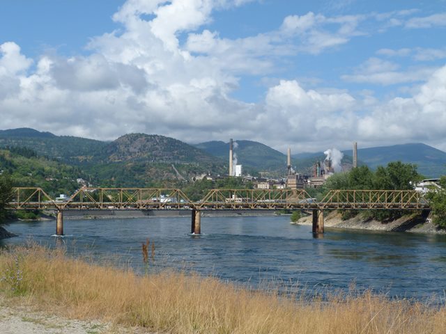
Location: Closed Road Over Columbia River In Trail: Kootenay Boundary District, British Columbia, Canada
Latitude: 49.094120 Longitude: -117.698860 ( 49.094120,-117.698860 )
View Bridge Location In:
Android: Open Location In Your Map or GPS App
![]()
| Back |
| Home |
| Top |

![]()