
Google Map: (More Links and Maps Below)
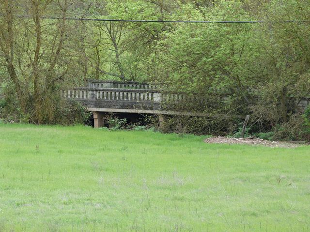
Location: Meiss Road (Abandoned Section) Over Deer Creek Tributary In Rural: Sacramento County, California, United States
Latitude: 38.496680 Longitude: -121.200090 ( 38.496680,-121.200090 )
View Bridge Location In:
Bridgehunter.com: View listed bridges within a half mile of this bridge.
Bridgehunter.com: View listed bridges within 10 miles of this bridge.
Android: Open Location In Your Map or GPS App
![]()
| Back |
| Home |
| Top |

![]()