
Google Map: (More Links and Maps Below)
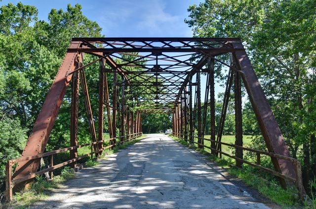
Location: 250th Street Over West Fork Dry Wood Creek In Rural: Bourbon County, Kansas, United States
Latitude: 37.694380 Longitude: -94.648870 ( 37.694380,-94.648870 )
View Bridge Location In:
Bridgehunter.com: View listed bridges within a half mile of this bridge.
Bridgehunter.com: View listed bridges within 10 miles of this bridge.
Android: Open Location In Your Map or GPS App
![]()
| Back |
| Home |
| Top |

![]()