
Google Map: (More Links and Maps Below)
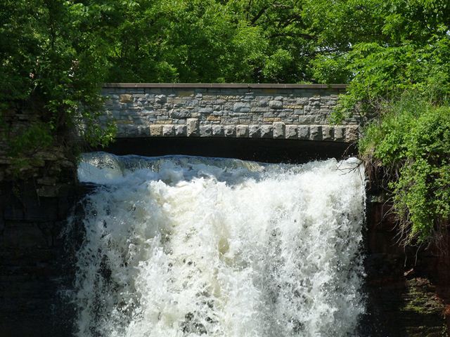
Location: Pedestrian Walkway Over Minnehaha Creek In Minneapolis: Hennepin County, Minnesota, United States
Latitude: 44.915310 Longitude: -93.211160 ( 44.915310,-93.211160 )
View Bridge Location In:
Bridgehunter.com: View listed bridges within a half mile of this bridge.
Bridgehunter.com: View listed bridges within 10 miles of this bridge.
Android: Open Location In Your Map or GPS App
![]()
| Back |
| Home |
| Top |

![]()