HistoricBridges.org Menu: HistoricBridges.org Menu:


HistoricBridges.org: Bridge Browser

Map: Rip Van Winkle Bridge

Google Map: (More Links and Maps Below)

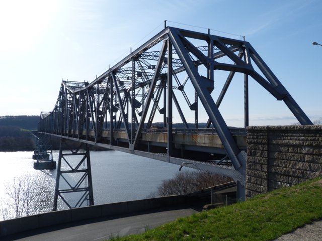
Location: NY-23 Over Hudson River and Railroad (CSX) In Catskill: Columbia County, New York and Greene County, New York, United States
Latitude: 42.223190 Longitude: -73.849650 ( 42.223190,-73.849650 )

View Bridge Location In:

Bridgehunter.com: View listed bridges within a half mile of this bridge.

Bridgehunter.com: View listed bridges within 10 miles of this bridge.

Android: Open Location In Your Map or GPS App

Google Maps

Google Streetview (If Available)

Bing Maps

ACME Mapper

OpenStreetMap

Google Earth (KML File)

Flickr Gallery (Find Nearby Photos)

Directions Via Sygic For Android

Directions Via Sygic For iOS and Android Dolphin Browser

MapQuest

HERE We Go Maps

ACME Mapper

Historical USGS Topo Maps (United States Only)

CalTopo Maps (United States Only)

Ordnance Survey Maps (UK Only)

GeoHack Map Links (Enter 42.223190 For Latitude and -73.849650 For Longitude)

Rip Van Winkle Bridge

Divider

Back
Home
Top

Divider

About - Contact

Divider