
Google Map: (More Links and Maps Below)
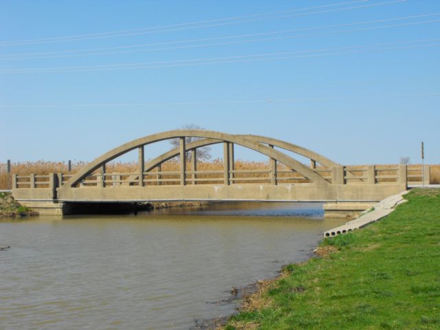
Location: 2nd Concession Road (Riverview Drive) Over Long Marsh Drain (Canard River Branch) In Rural (Amherstburg): Essex County, Ontario, Canada
Latitude: 42.174000 Longitude: -83.084490 ( 42.174000,-83.084490 )
This historic bridge has been demolished. This map is shown for reference purposes only.
View Bridge Location In:
Android: Open Location In Your Map or GPS App
![]()
| Back |
| Home |
| Top |

![]()