
Google Map: (More Links and Maps Below)
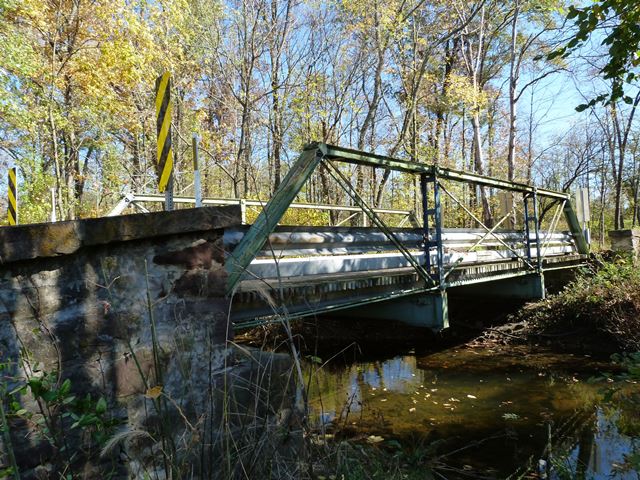
Location: Meadow View Road (PA-4038) Over North Branch Bermudian Creek In Rural: York County, Pennsylvania, United States
Latitude: 40.056910 Longitude: -77.062430 ( 40.056910,-77.062430 )
This historic bridge has been relocated and is no longer at this location. See the main bridge page for a link to the new bridge location. This map is shown for reference purposes only.
View Bridge Location In:
Bridgehunter.com: View listed bridges within a half mile of this bridge.
Bridgehunter.com: View listed bridges within 10 miles of this bridge.
Android: Open Location In Your Map or GPS App
![]()
| Back |
| Home |
| Top |

![]()