
Google Map: (More Links and Maps Below)
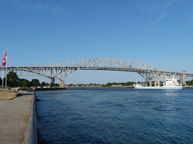
Location: I-69 and I-94 / KH-402 Over St. Clair River In Port Huron and Sarnia (Point Edward): St. Clair County, Michigan and Lambton County, Ontario, Canada and United States
Latitude: 42.998880 Longitude: -82.423470 ( 42.998880,-82.423470 )
View Bridge Location In:
Android: Open Location In Your Map or GPS App
![]()
| Back |
| Home |
| Top |

![]()