We Recommend:
Bach Steel - Experts at historic truss bridge restoration.
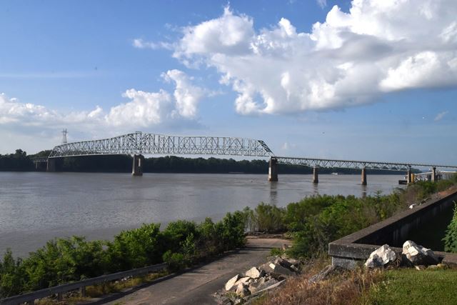
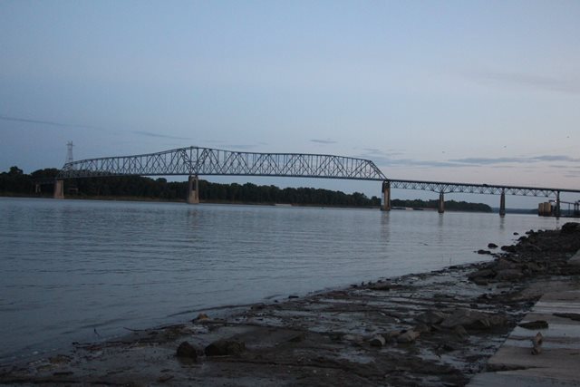
Shawneetown Bridge
Earle C. Clements Bridge

Primary Photographer(s): Nathan Holth and Rick McOmber
Bridge Documented: May 27, 2019 and August 29, 2021
Old Shawneetown: Gallatin County, Illinois and Union County, Kentucky: United States
Metal Continuous 24 Panel Rivet-Connected Modified Warren Through Truss, Fixed and Approach Spans: Metal Continuous 12 Panel Rivet-Connected Warren Deck Truss, Fixed
1956 By Builder/Contractor: Allied Structural Steel Company of Chicago, Illinois and Engineer/Design: Sverdrup and Parcel of St. Louis, Missouri
Not Available or Not Applicable
825.0 Feet (251.5 Meters)
3,200.0 Feet (975.4 Meters)
24 Feet (7.32 Meters)
2 Main Span(s) and 14 Approach Span(s)
113B00045N

View Information About HSR Ratings
Bridge Documentation
This is a late but unaltered example of a large-scale truss bridge designed by Sverdrup and Parcel. Similar to earlier bridges designed by the company, it features a main span unit of two continuous truss spans, while also including a two-span continuous unit deck truss approach span. Both are designs that the company used in earlier bridges. This bridge is located next to Old Shawneetown, Illinois which today is a ghost town with some preserved historical buildings. The actual community of Shawneetown was moved to a new city further away from the river after a terrible flood of 1937. According to Wikipedia, "Shawneetown served as an important United States government administrative center for the Northwest Territory. Shawneetown and Washington, D.C., share the distinction of being the only towns chartered by the United States government."
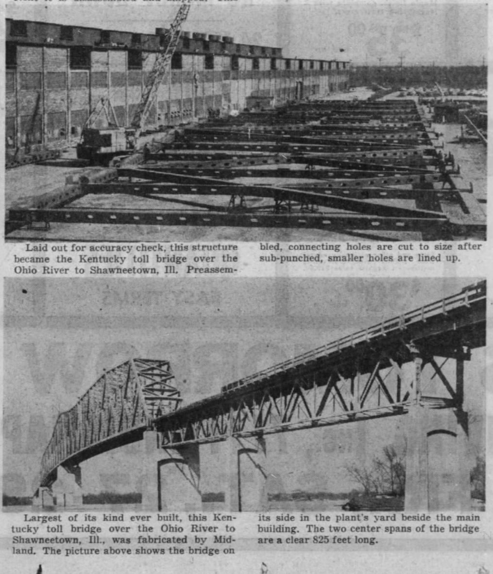
A news article reported that Allied Strurctural Steel of Chicago built the superstructure, while Traylor Brothers of Evansville, Indiana built the substructure. The Kentucky approach was built by R. B. Tyler Company of Louisville, Kentucky.
View Archived National Bridge Inventory Report - Has Additional Details and Evaluation
Above: Sheet from the original plans for the bridge.
Above: Historical article from The Times: December 26 1956.
This bridge is tagged with the following special condition(s): Unorganized Photos
![]()
Photo Galleries and Videos: Shawneetown Bridge
Bridge Photo-Documentation
Original / Full Size PhotosA collection of overview and detail photos. This gallery offers photos in the highest available resolution and file size in a touch-friendly popup viewer.
Alternatively, Browse Without Using Viewer
![]()
Bridge Photo-Documentation
Mobile Optimized PhotosA collection of overview and detail photos. This gallery features data-friendly, fast-loading photos in a touch-friendly popup viewer.
Alternatively, Browse Without Using Viewer
![]()
Additional Unorganized Photos
Original / Full Size PhotosA supplemental collection of photos that are from additional visit(s) to the bridge and have not been organized or captioned. This gallery offers photos in the highest available resolution and file size in a touch-friendly popup viewer.
Alternatively, Browse Without Using Viewer
![]()
Additional Unorganized Photos
Mobile Optimized PhotosA supplemental collection of photos that are from additional visit(s) to the bridge and have not been organized or captioned. This gallery features data-friendly, fast-loading photos in a touch-friendly popup viewer.
Alternatively, Browse Without Using Viewer
![]()
Maps and Links: Shawneetown Bridge
Coordinates (Latitude, Longitude):
Search For Additional Bridge Listings:
Bridgehunter.com: View listed bridges within 0.5 miles (0.8 kilometers) of this bridge.
Bridgehunter.com: View listed bridges within 10 miles (16 kilometers) of this bridge.
Additional Maps:
Google Streetview (If Available)
GeoHack (Additional Links and Coordinates)
Apple Maps (Via DuckDuckGo Search)
Apple Maps (Apple devices only)
Android: Open Location In Your Map or GPS App
Flickr Gallery (Find Nearby Photos)
Wikimedia Commons (Find Nearby Photos)
Directions Via Sygic For Android
Directions Via Sygic For iOS and Android Dolphin Browser
USGS National Map (United States Only)
Historical USGS Topo Maps (United States Only)
Historic Aerials (United States Only)
CalTopo Maps (United States Only)


