HistoricBridges.org Menu: HistoricBridges.org Menu:


HistoricBridges.org: Bridge Browser

Map: St. Clair Parkway Bridge

Google Map: (More Links and Maps Below)

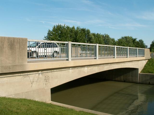
Location: St. Clair Parkway (CR-33) Over Clay Creek In St. Clair Township: Lambton County, Ontario, Canada
Latitude: 42.750670 Longitude: -82.464160 ( 42.750670,-82.464160 )

View Bridge Location In:


Android: Open Location In Your Map or GPS App

Google Maps

Google Streetview (If Available)

Bing Maps

ACME Mapper

OpenStreetMap

Google Earth (KML File)

Flickr Gallery (Find Nearby Photos)

Directions Via Sygic For Android

Directions Via Sygic For iOS and Android Dolphin Browser

MapQuest

HERE We Go Maps

ACME Mapper

Historical USGS Topo Maps (United States Only)

CalTopo Maps (United States Only)

Ordnance Survey Maps (UK Only)

GeoHack Map Links (Enter 42.750670 For Latitude and -82.464160 For Longitude)

St. Clair Parkway Bridge

Divider

Back
Home
Top

Divider

About - Contact

Divider