
Google Map: (More Links and Maps Below)
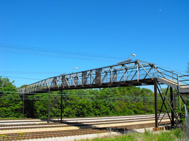
Location: Pedestrian Walkway Over Railroad (Metra Electric District, NICTD South Shore Line, Former Illinois Central) In Chicago: Cook County, Illinois, United States
Latitude: 41.816920 Longitude: -87.596380 ( 41.816920,-87.596380 )
This historic bridge has been demolished. This map is shown for reference purposes only.
View Bridge Location In:
Bridgehunter.com: View listed bridges within a half mile of this bridge.
Bridgehunter.com: View listed bridges within 10 miles of this bridge.
Android: Open Location In Your Map or GPS App
![]()
| Back |
| Home |
| Top |

![]()