
Google Map: (More Links and Maps Below)
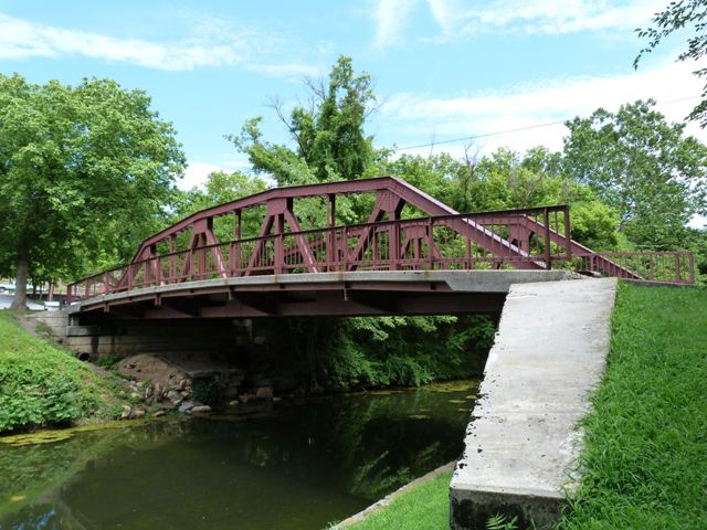
Location: Church Street (Old Alignment) Over Chesapeake and Ohio Canal In Hancock: Washington County, Maryland, United States
Latitude: 39.698060 Longitude: -78.177940 ( 39.698060,-78.177940 )
View Bridge Location In:
Bridgehunter.com: View listed bridges within a half mile of this bridge.
Bridgehunter.com: View listed bridges within 10 miles of this bridge.
Android: Open Location In Your Map or GPS App
![]()
| Back |
| Home |
| Top |

![]()