
Google Map: (More Links and Maps Below)
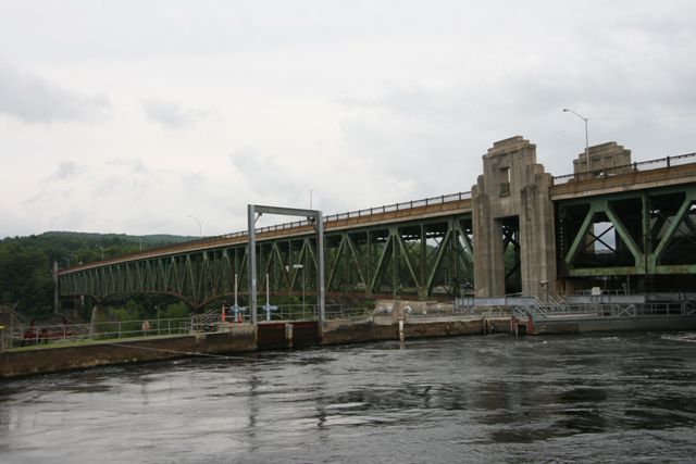
Location: Main Road (Avenue A) Over Connecticut River In Turners Falls and Riverside: Franklin County, Massachusetts, United States
Latitude: 42.611400 Longitude: -72.551980 ( 42.611400,-72.551980 )
View Bridge Location In:
Bridgehunter.com: View listed bridges within a half mile of this bridge.
Bridgehunter.com: View listed bridges within 10 miles of this bridge.
Android: Open Location In Your Map or GPS App
![]()
| Back |
| Home |
| Top |

![]()