
Google Map: (More Links and Maps Below)
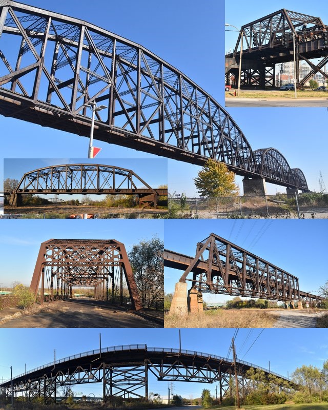
Location: Railroad (Terminal Railroad Association of St. Louis) Over Mississippi River and Various Streets and Railroads In St. Louis and East St. Louis: St. Louis City, Missouri and St. Clair County, Illinois, United States
Latitude: 38.614770 Longitude: -90.183910 ( 38.614770,-90.183910 )
Additional Coordinates: Mississippi River Spans: 38.61477, -90.18391 Half-Through Truss Span: 38.61212, -90.17379 Railroad Pennsylvania Truss Span: 38.60988, -90.16562 Highway Pennsylvania Truss Span: 38.61347, -90.16617 Broadway Trusses: 38.61767, -90.19324
View Bridge Location In:
Bridgehunter.com: View listed bridges within a half mile of this bridge.
Bridgehunter.com: View listed bridges within 10 miles of this bridge.
Android: Open Location In Your Map or GPS App
![]()
| Back |
| Home |
| Top |

![]()