
Google Map: (More Links and Maps Below)
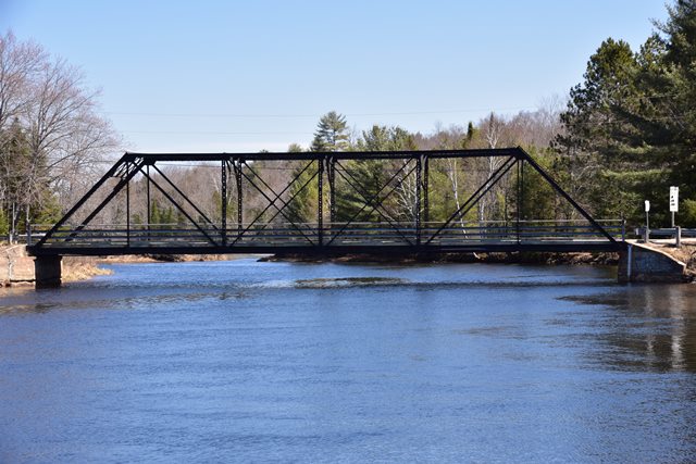
Location: Matthiasville Road Over South Branch Muskoka River In Bracebridge: Muskoka District, Ontario, Canada
Latitude: 44.984600 Longitude: -79.252290 ( 44.984600,-79.252290 )
This historic bridge has been demolished. This map is shown for reference purposes only.
View Bridge Location In:
Android: Open Location In Your Map or GPS App
![]()
| Back |
| Home |
| Top |

![]()