HistoricBridges.org Menu: HistoricBridges.org Menu:


HistoricBridges.org: Bridge Browser

Map: Bloor Street Rosedale Valley Bridge

Google Map: (More Links and Maps Below)

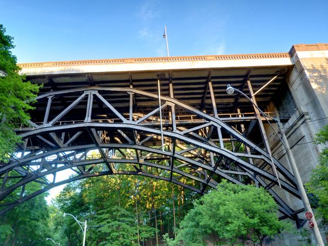
Location: Bloor Street Over Rosedale Ravine, Rosedale Valley Road, Castle Frank Brook In Toronto: Toronto City, Ontario, Canada
Latitude: 43.672530 Longitude: -79.369960 ( 43.672530,-79.369960 )

View Bridge Location In:


Android: Open Location In Your Map or GPS App

Google Maps

Google Streetview (If Available)

Bing Maps

ACME Mapper

OpenStreetMap

Google Earth (KML File)

Flickr Gallery (Find Nearby Photos)

Directions Via Sygic For Android

Directions Via Sygic For iOS and Android Dolphin Browser

MapQuest

HERE We Go Maps

ACME Mapper

Historical USGS Topo Maps (United States Only)

CalTopo Maps (United States Only)

Ordnance Survey Maps (UK Only)

GeoHack Map Links (Enter 43.672530 For Latitude and -79.369960 For Longitude)

Bloor Street Rosedale Valley Bridge

Divider

Back
Home
Top

Divider

About - Contact

Divider