
Google Map: (More Links and Maps Below)
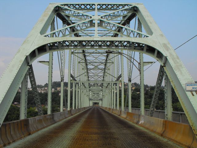
Location: Lock Street (PA-2018) Over Monongahela River In Charleroi and Monessen: Washington County, Pennsylvania and Westmoreland County, Pennsylvania, United States
Latitude: 40.151950 Longitude: -79.904380 ( 40.151950,-79.904380 )
This historic bridge has been demolished. This map is shown for reference purposes only.
View Bridge Location In:
Bridgehunter.com: View listed bridges within a half mile of this bridge.
Bridgehunter.com: View listed bridges within 10 miles of this bridge.
Android: Open Location In Your Map or GPS App
![]()
| Back |
| Home |
| Top |

![]()