
Google Map: (More Links and Maps Below)
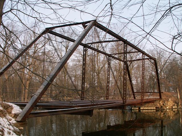
Location: Maple Rapids Road Over Maple River In Rural (Near Maple Rapids): Clinton County, Michigan, United States
Latitude: 43.109570 Longitude: -84.712100 ( 43.109570,-84.712100 )
This historic bridge has been demolished. This map is shown for reference purposes only.
View Bridge Location In:
Bridgehunter.com: View listed bridges within a half mile of this bridge.
Bridgehunter.com: View listed bridges within 10 miles of this bridge.
Android: Open Location In Your Map or GPS App
![]()
| Back |
| Home |
| Top |

![]()