HistoricBridges.org Menu: HistoricBridges.org Menu:


HistoricBridges.org: Bridge Browser

Map: Welland Main Street Bridge

Google Map: (More Links and Maps Below)

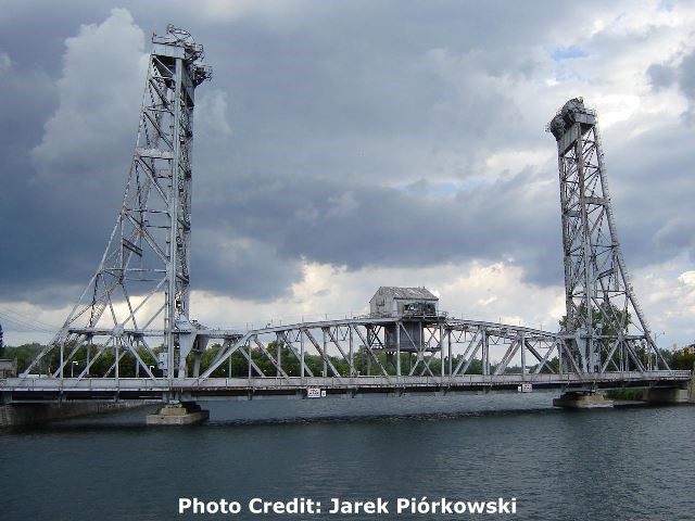
Location: Westbound Main Street Over Welland Recreational Waterway In Welland: Niagara Region, Ontario, Canada
Latitude: 42.991680 Longitude: -79.251590 ( 42.991680,-79.251590 )

View Bridge Location In:


Android: Open Location In Your Map or GPS App

Google Maps

Google Streetview (If Available)

Bing Maps

ACME Mapper

OpenStreetMap

Google Earth (KML File)

Flickr Gallery (Find Nearby Photos)

Directions Via Sygic For Android

Directions Via Sygic For iOS and Android Dolphin Browser

MapQuest

HERE We Go Maps

ACME Mapper

Historical USGS Topo Maps (United States Only)

CalTopo Maps (United States Only)

Ordnance Survey Maps (UK Only)

GeoHack Map Links (Enter 42.991680 For Latitude and -79.251590 For Longitude)

Welland Main Street Bridge

Divider

Back
Home
Top

Divider

About - Contact

Divider