Uncredited photos on this page taken by: Nathan Holth and Rick McOmber. Unless stated in a caption, all photos are Copyright with All Rights Reserved. Learn about reuse of our photos.
![]()


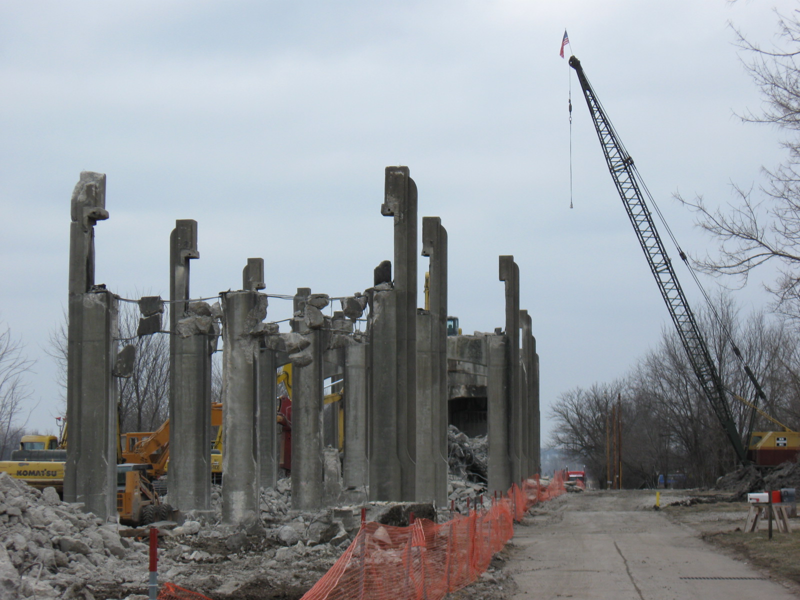

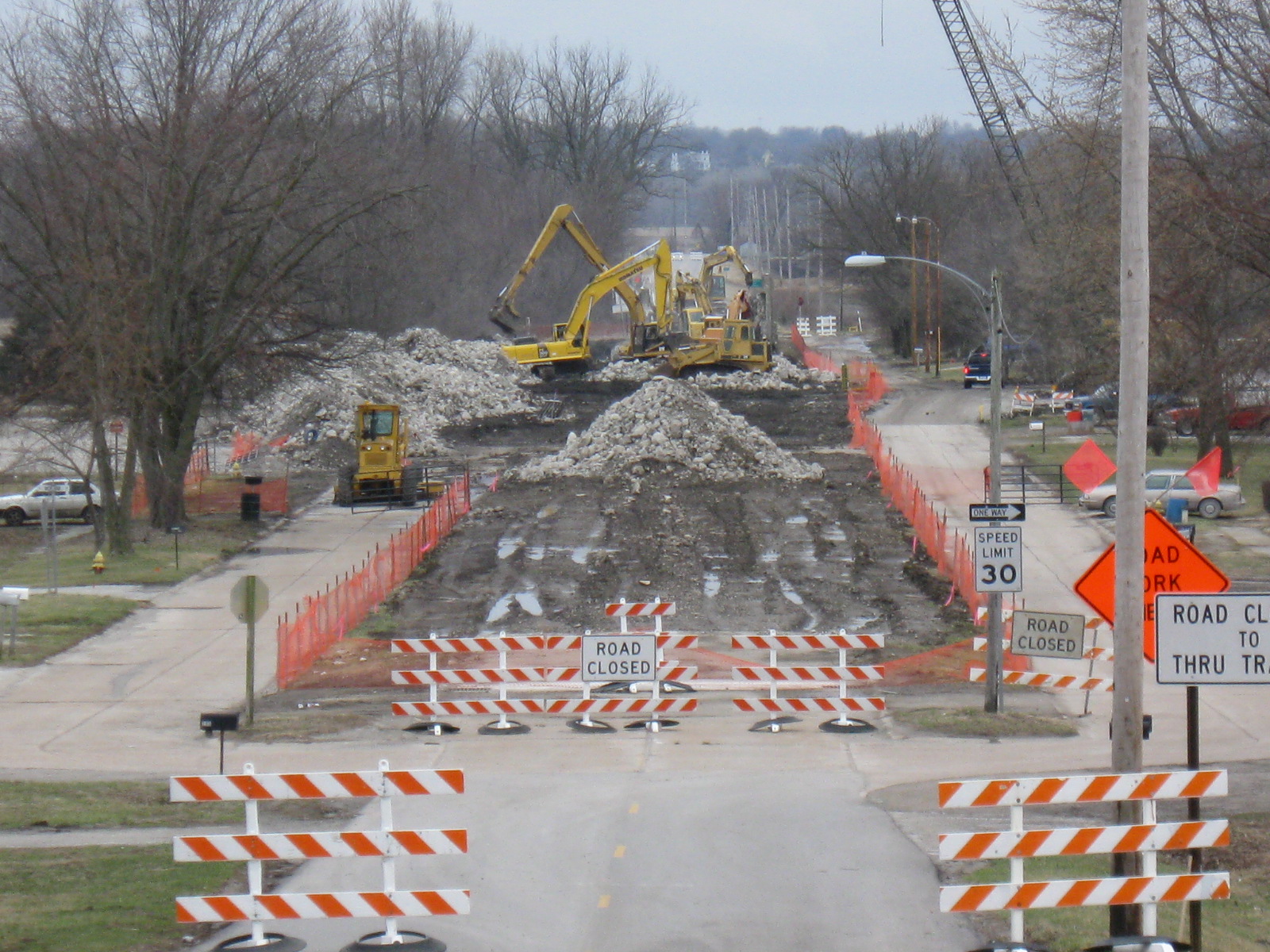
Photo Credit: Missouri Department of Transportation
Demolition.
![]()


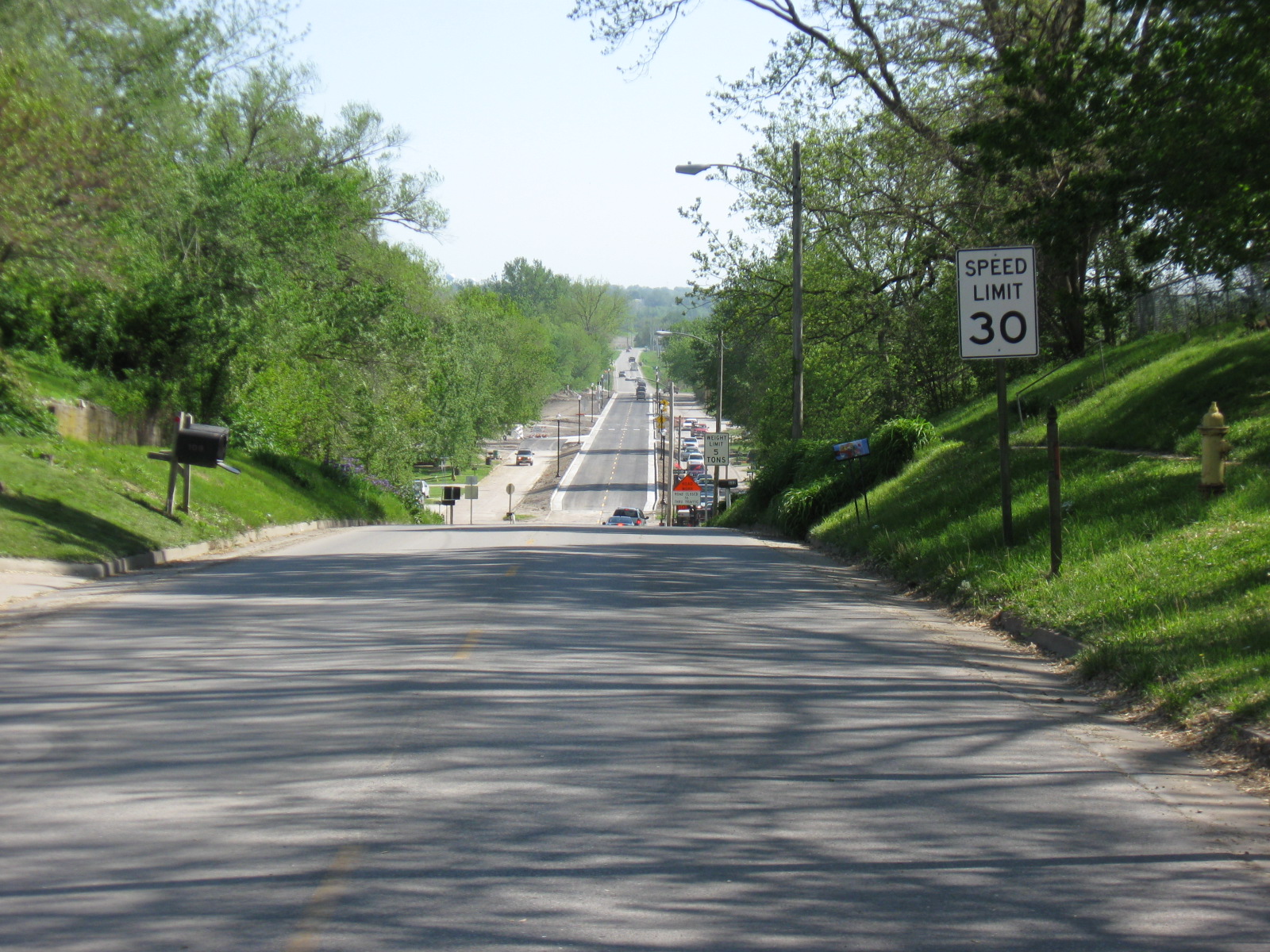
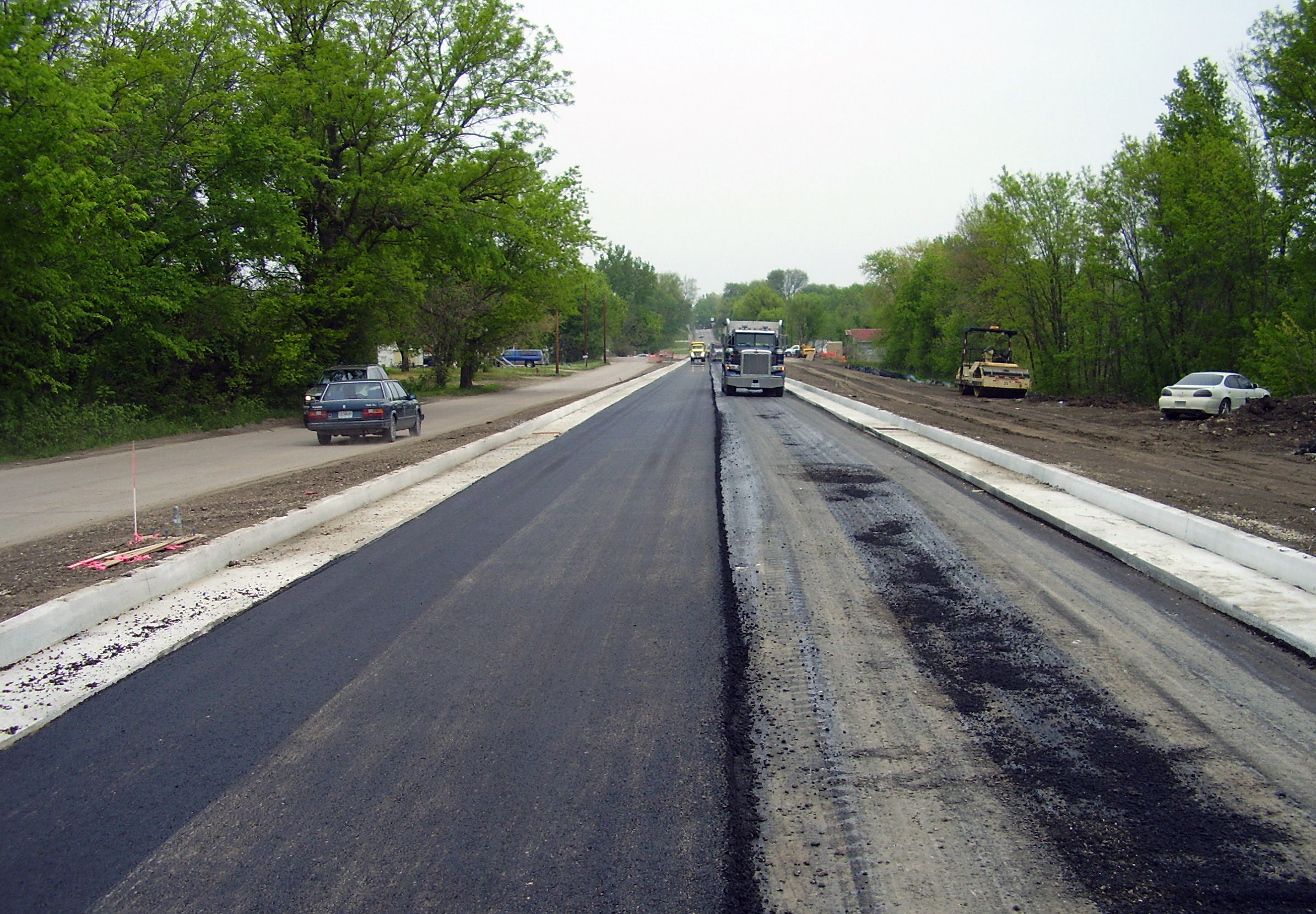
Photo Credit: Missouri Department of Transportation
View after demolition was completed, showing nothing more than a plain, boring road.
![]()
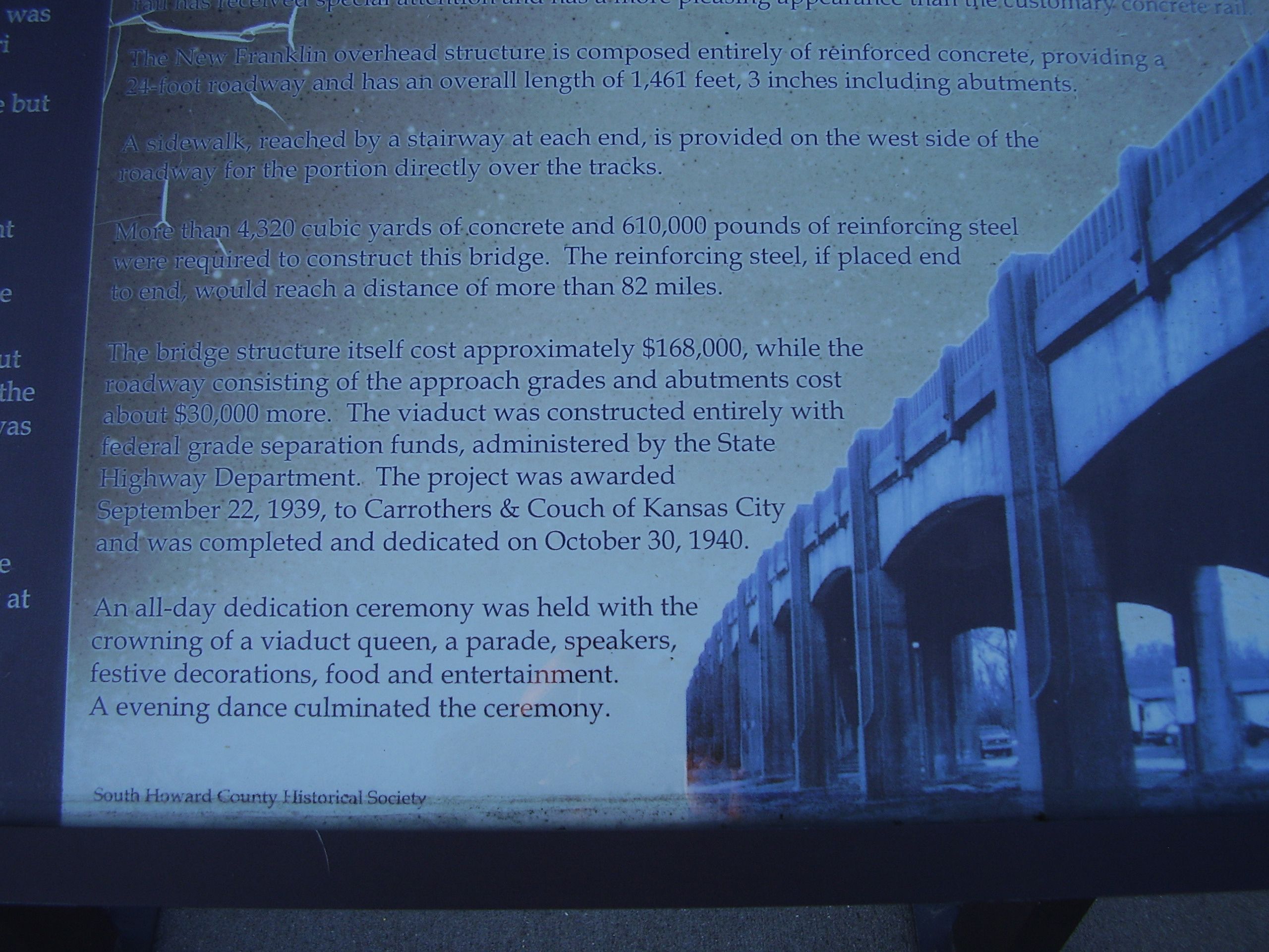

Photo Credit: Missouri Department of Transportation
Interpretive signage for bridge in town square.
![]()

Photo Credit: Randall Dawdy, Missouri Department of Transportation
Historical photos for MoDOT's demolition mitigation. MoDOT Caption: Close coordination with the MKT [the railroad] was necessary during design and construction.
![]()
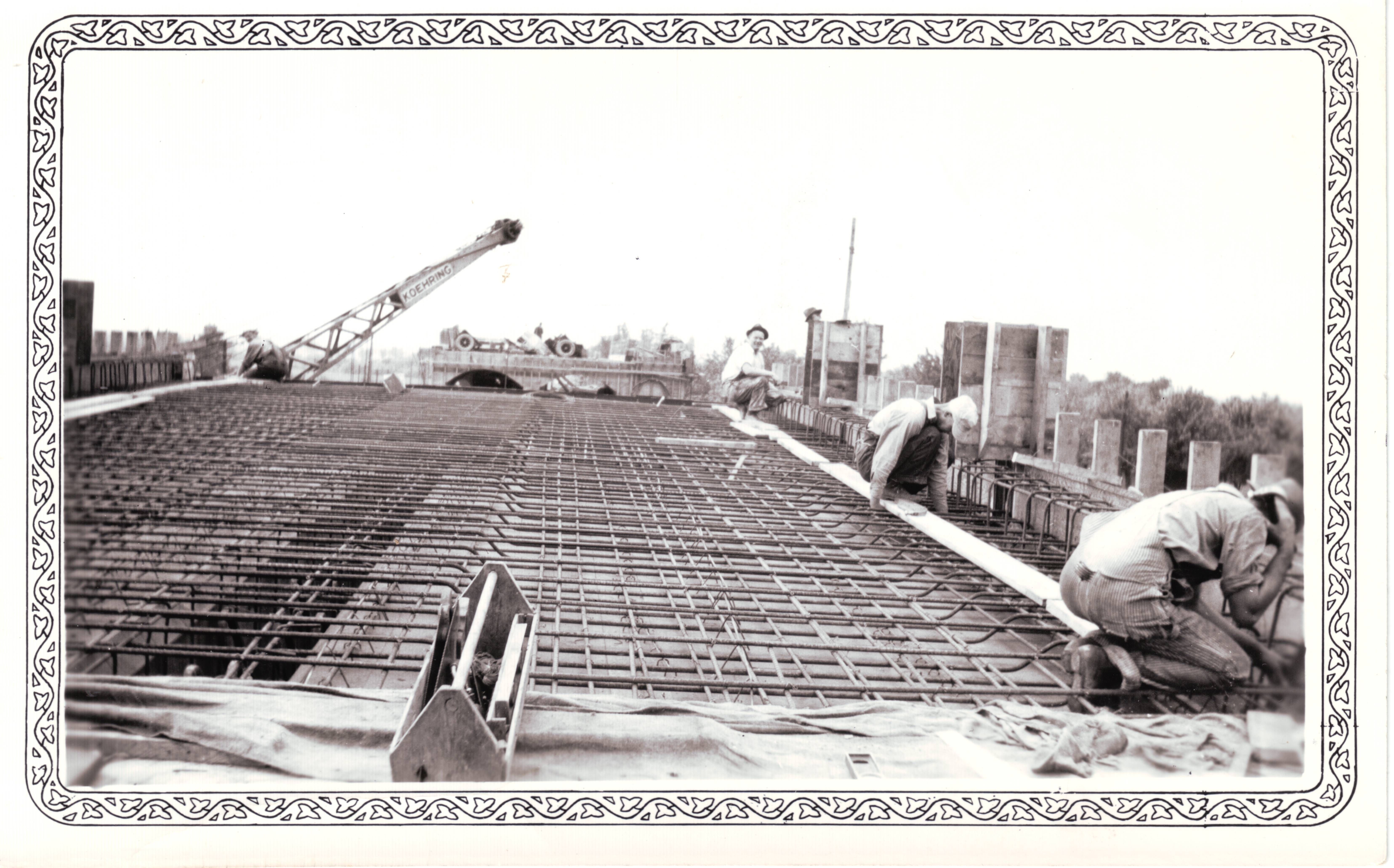

Photo Credit: Randall Dawdy, Missouri Department of Transportation
Historical photos for MoDOT's demolition mitigation. MoDOT Caption: New Franklin had almost zero unemployment during construction of the viaduct due to federal rules requiring use of local labor.
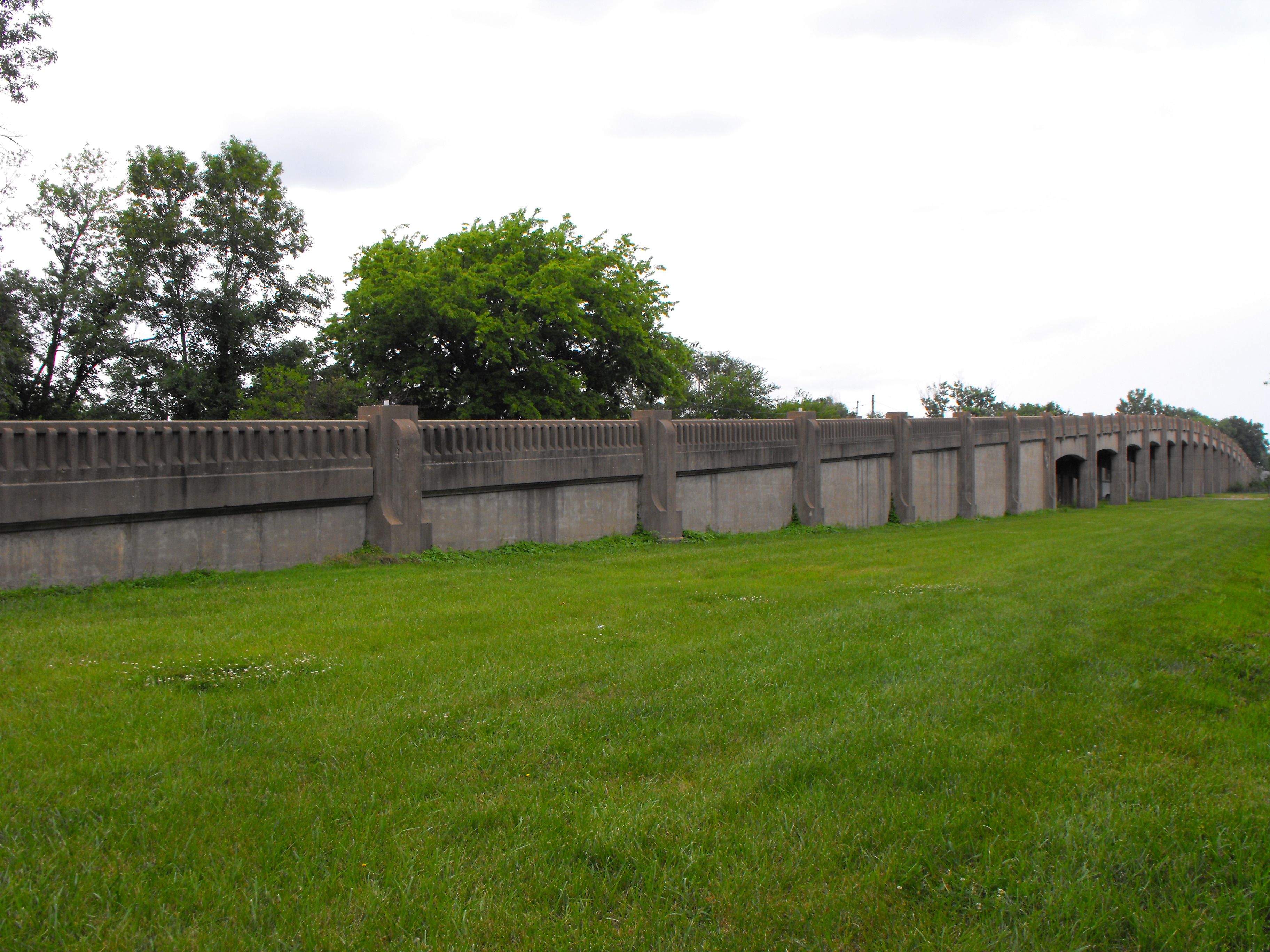
![]()
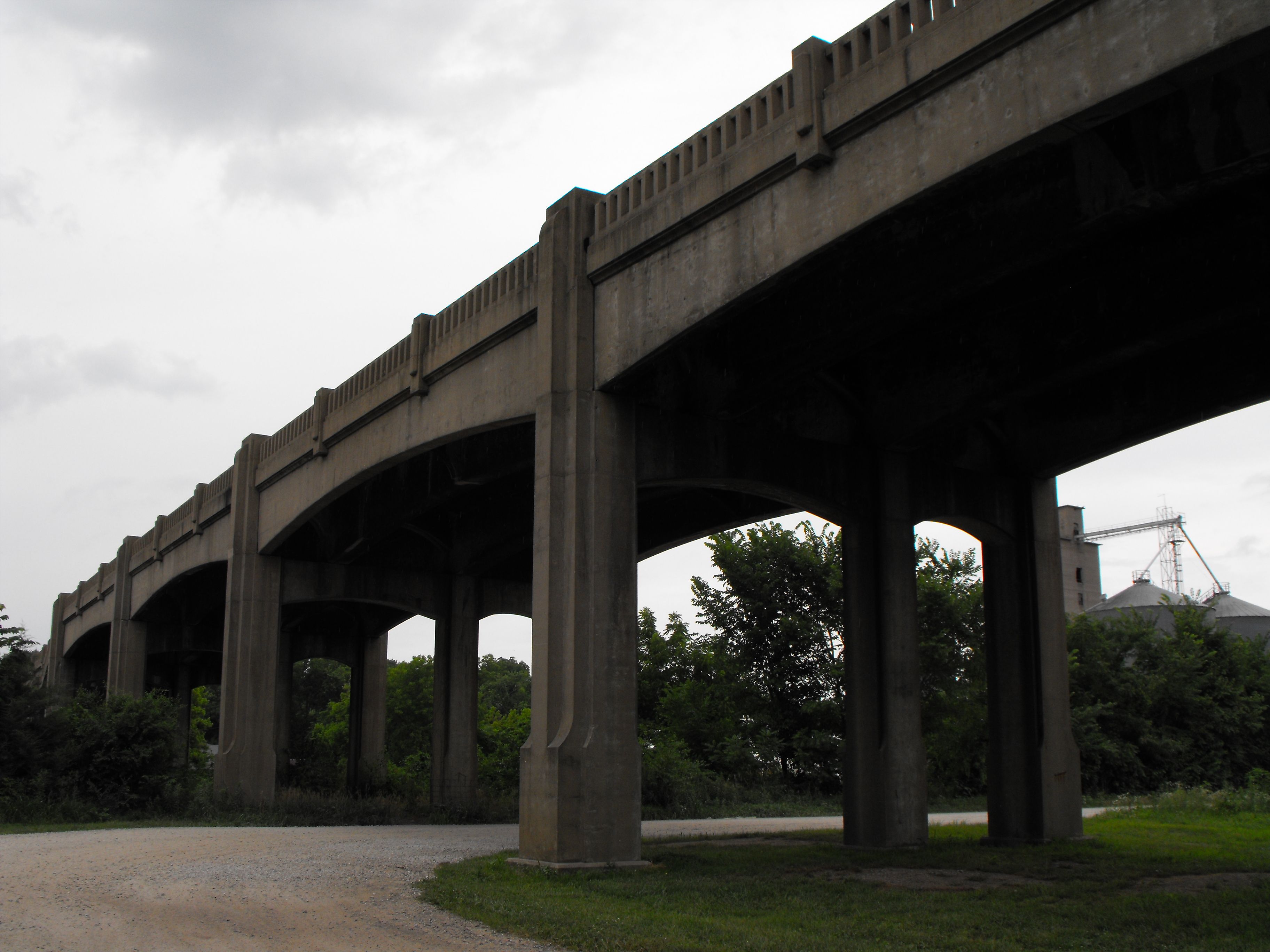
Views from southeast quadrant showing entire bridge.
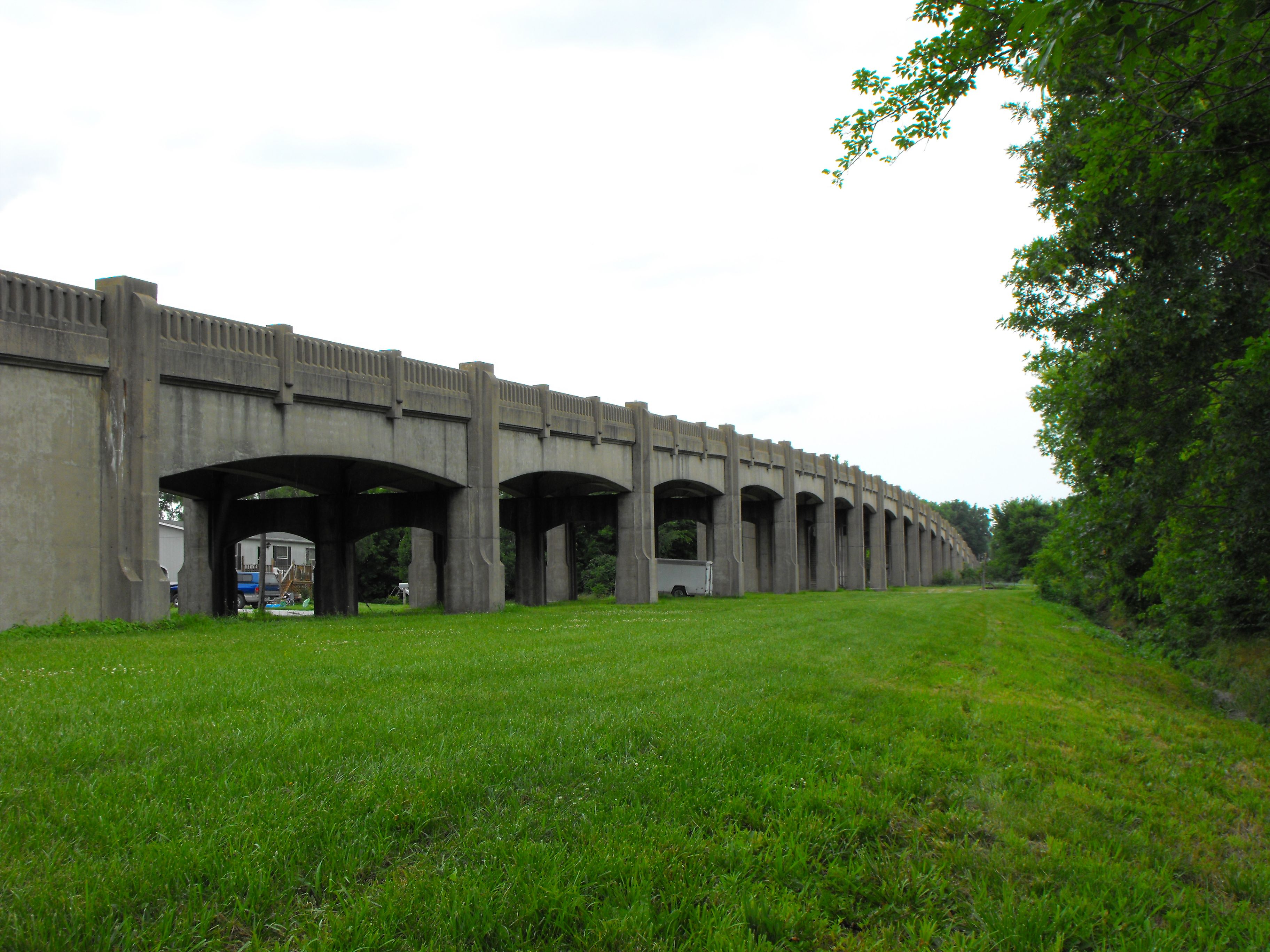
![]()


Views from southeast quadrant showing all the main spans.
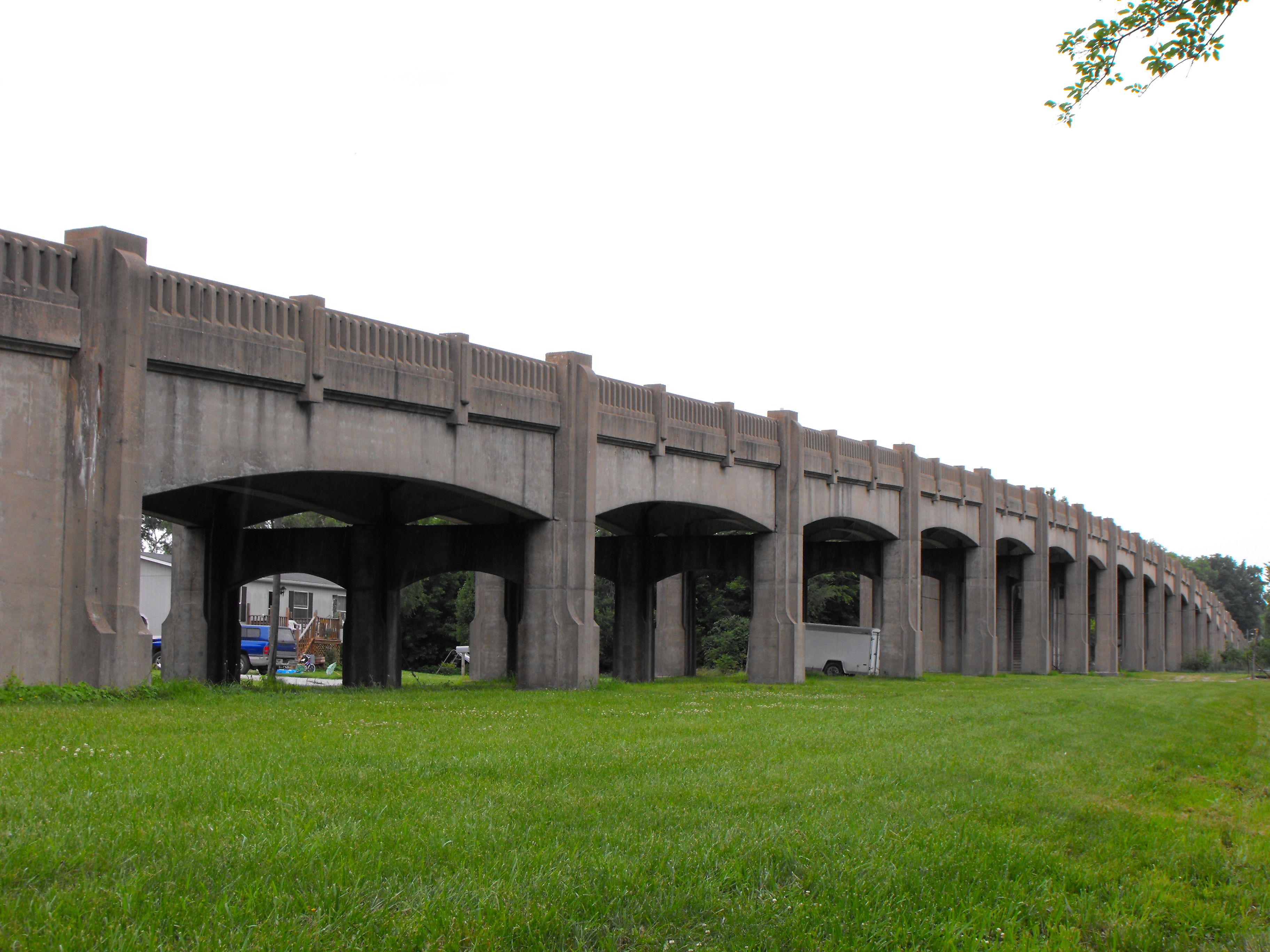
![]()
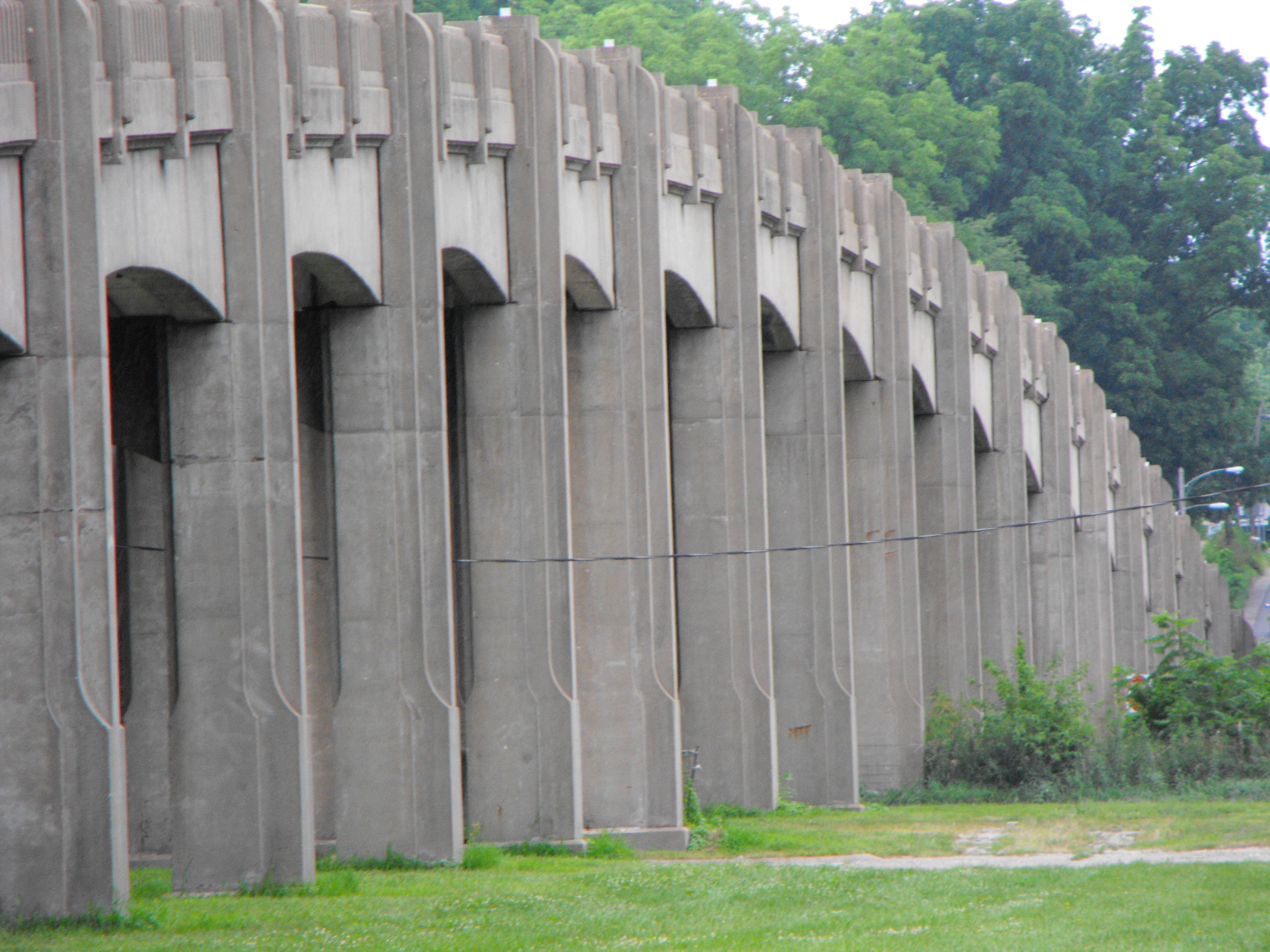
Views from southeast quadrant beside main spans.
![]()


Additional views beside main spans.
![]()

Zoomed views from southeast quadrant.
![]()

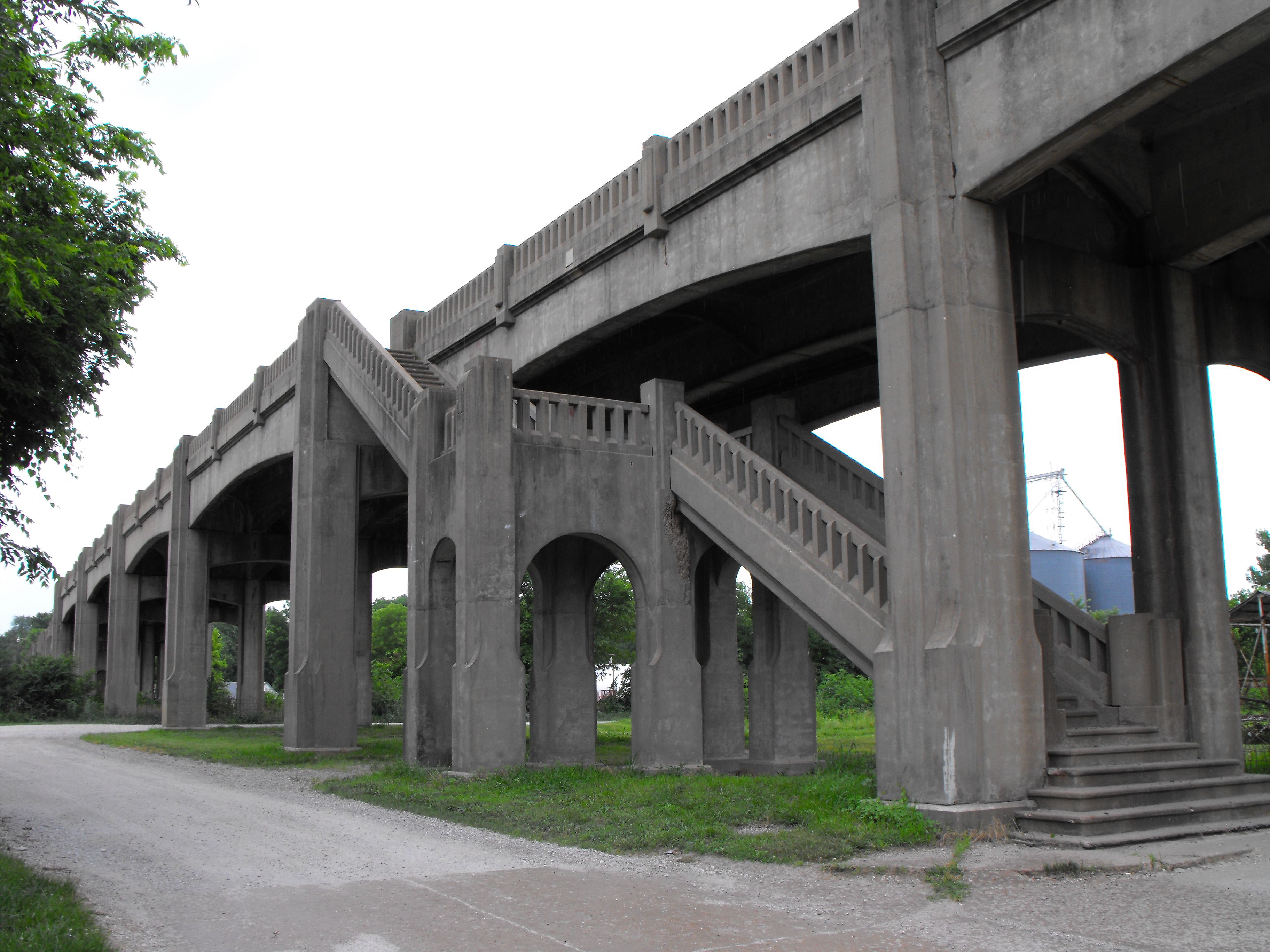
Views showing stairway.
![]()


Views on stairway.
![]()

Portal views facing north.
![]()


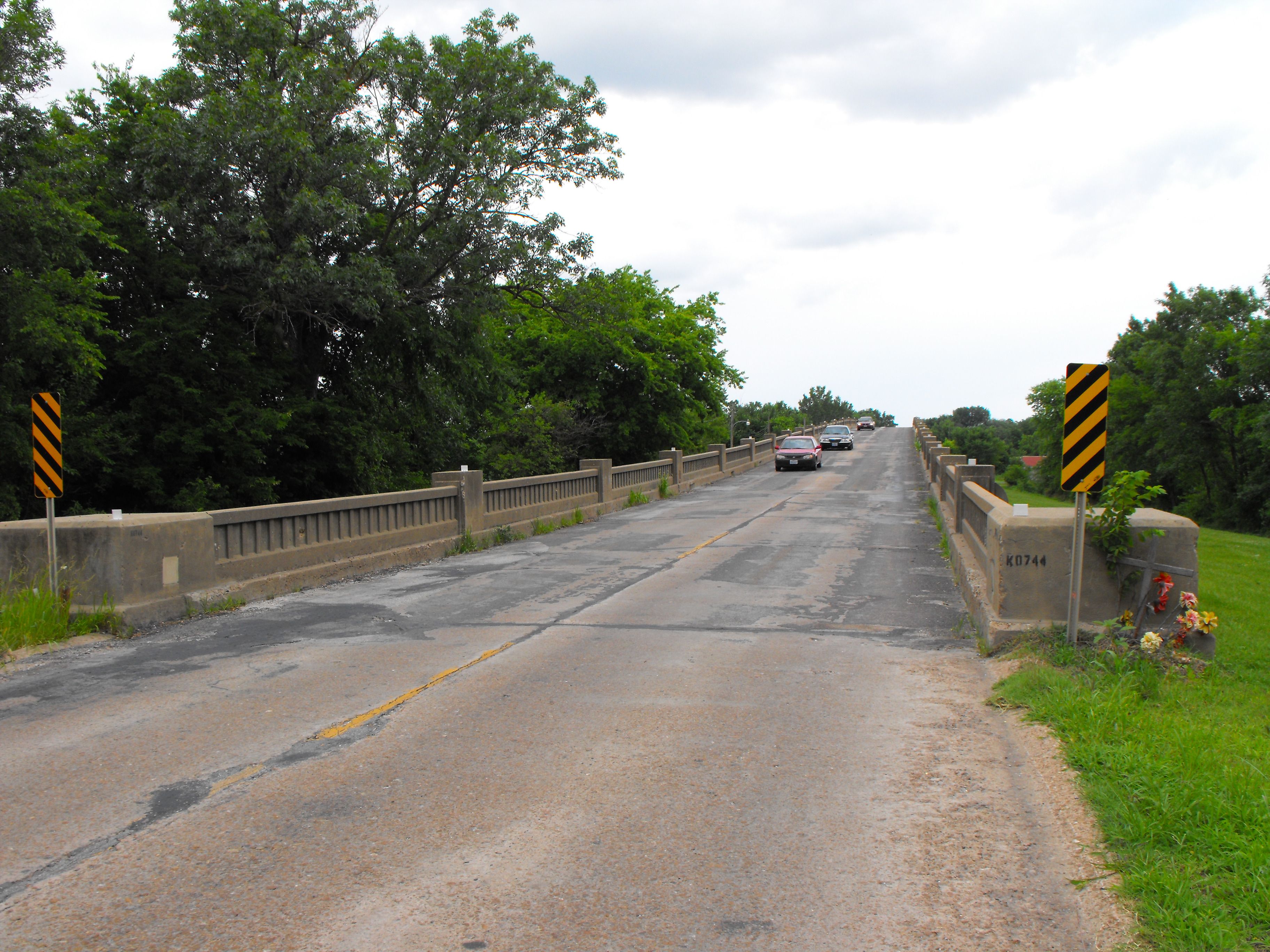
Various views on bridge deck.
![]()


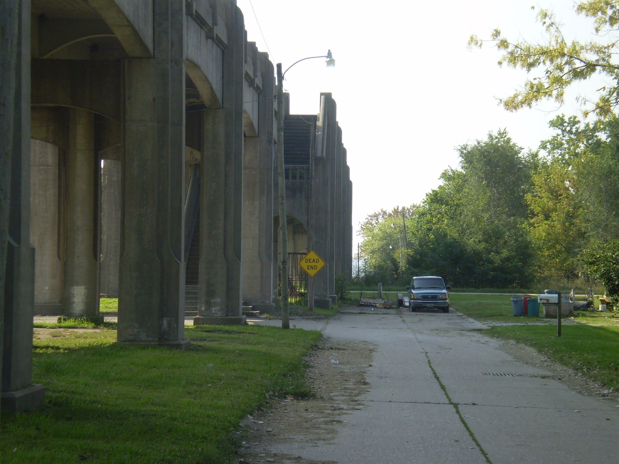


Photo Credit: Missouri Department of Transportation
Various views beside bridge.
![]()

Photo Credit: Missouri Department of Transportation
Overview of bridge location.
![]()
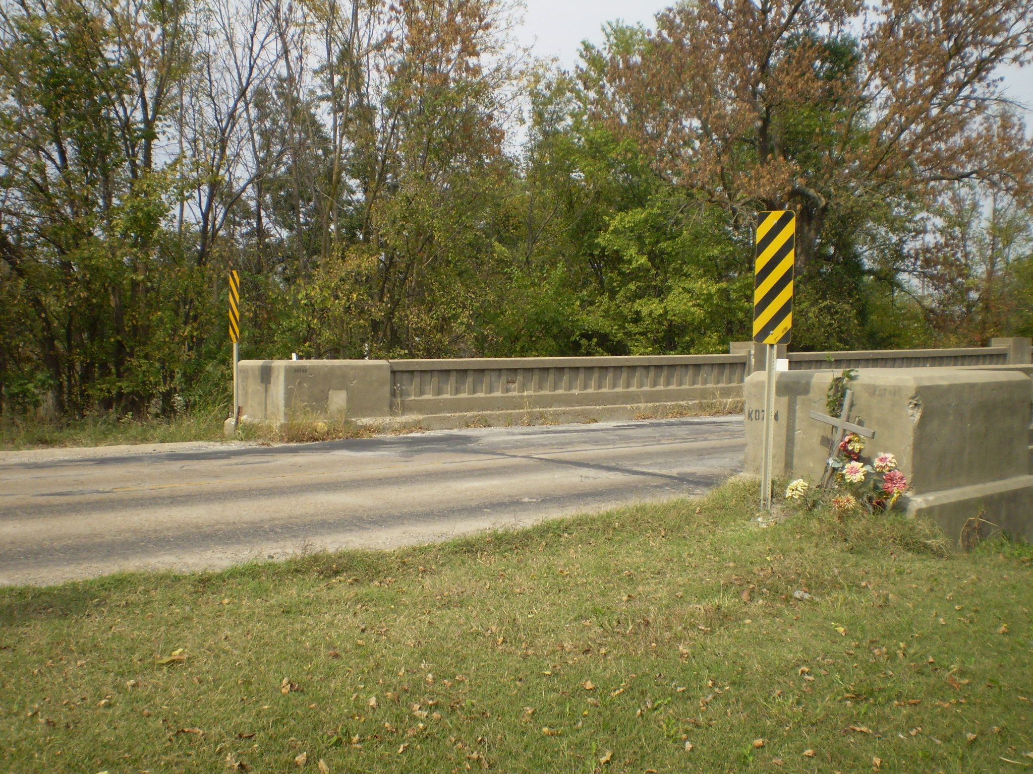
Photo Credit: Missouri Department of Transportation
Entry onto bridge.
![]()
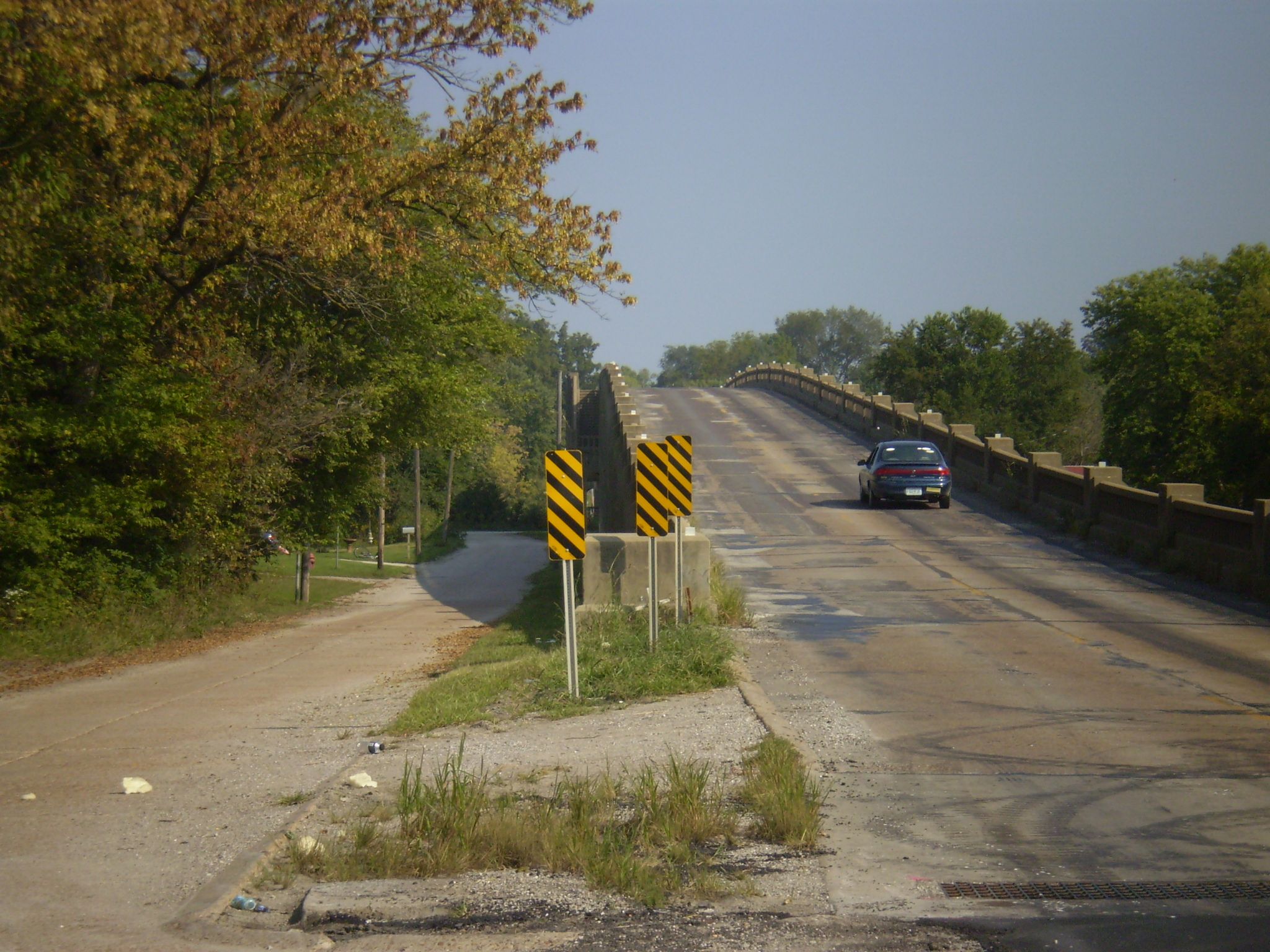


Photo Credit: Missouri Department of Transportation
Views from beside roadway near bridge.
![]()


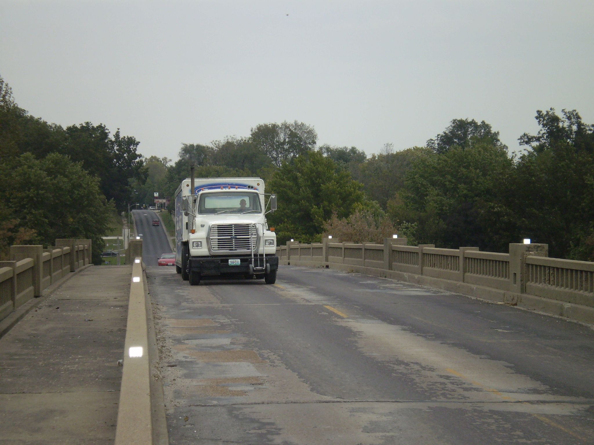

Photo Credit: Missouri Department of Transportation
Various views on bridge.
![]()


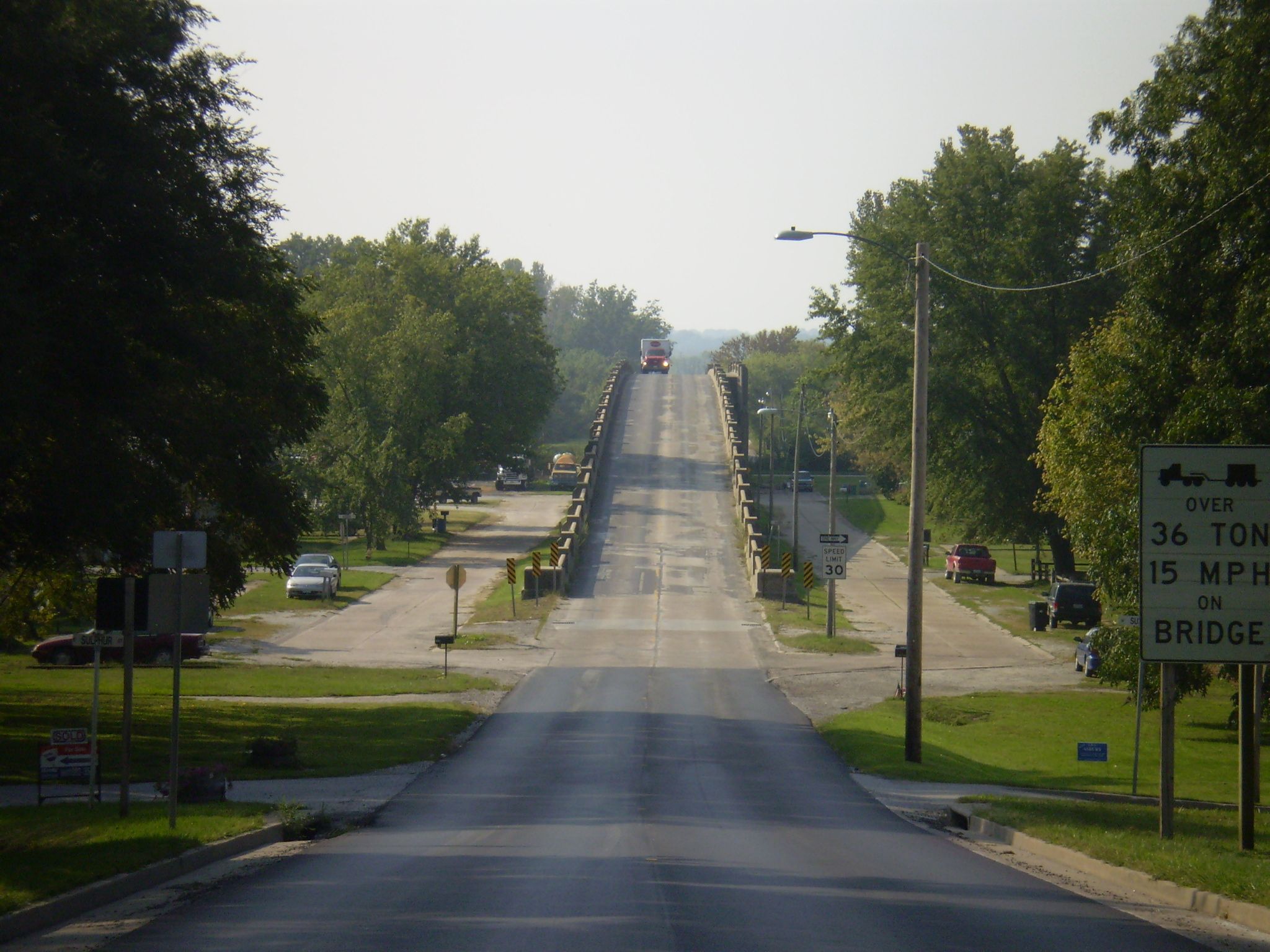

Photo Credit: Missouri Department of Transportation
Various portal views.
![]()
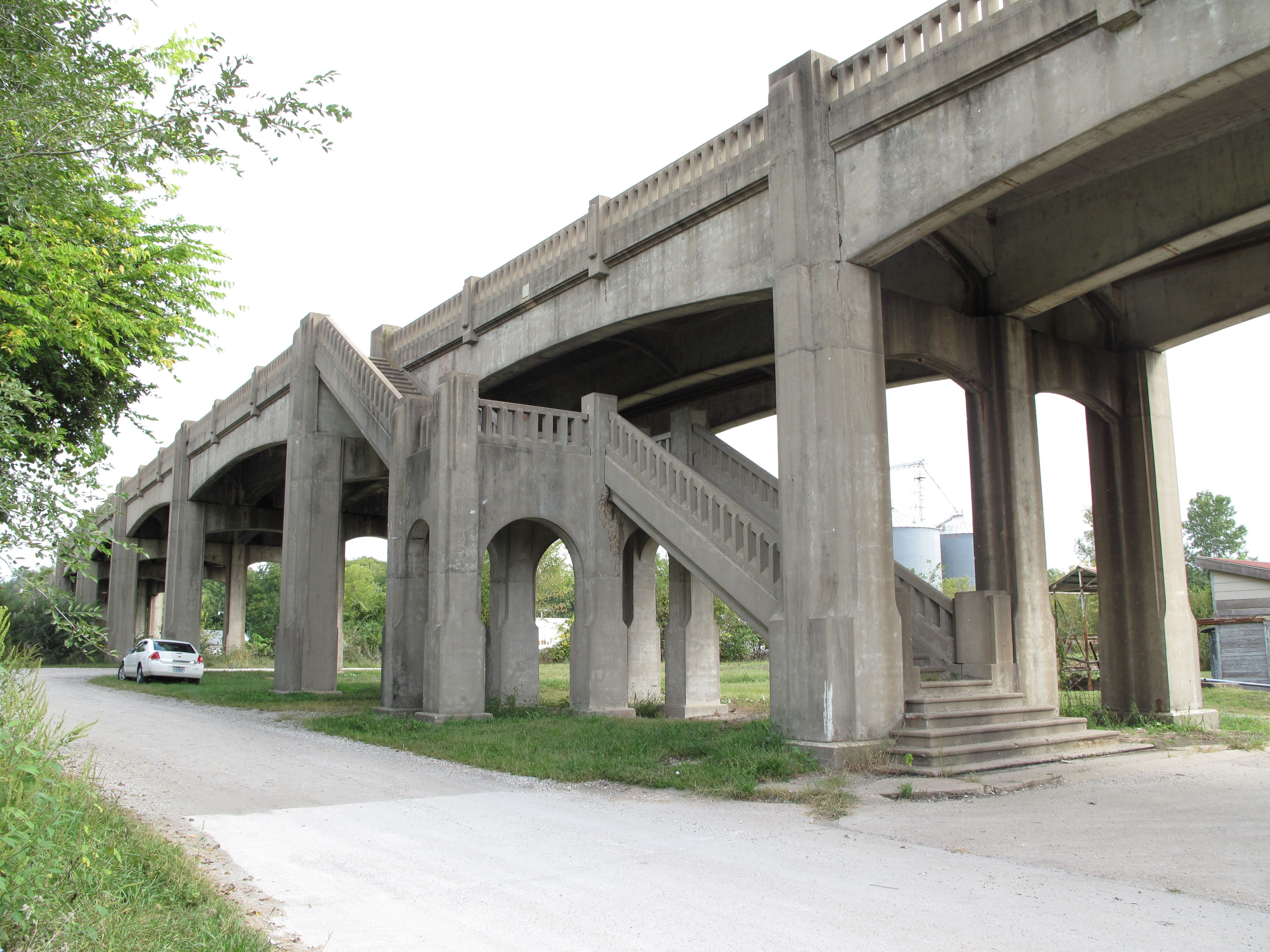

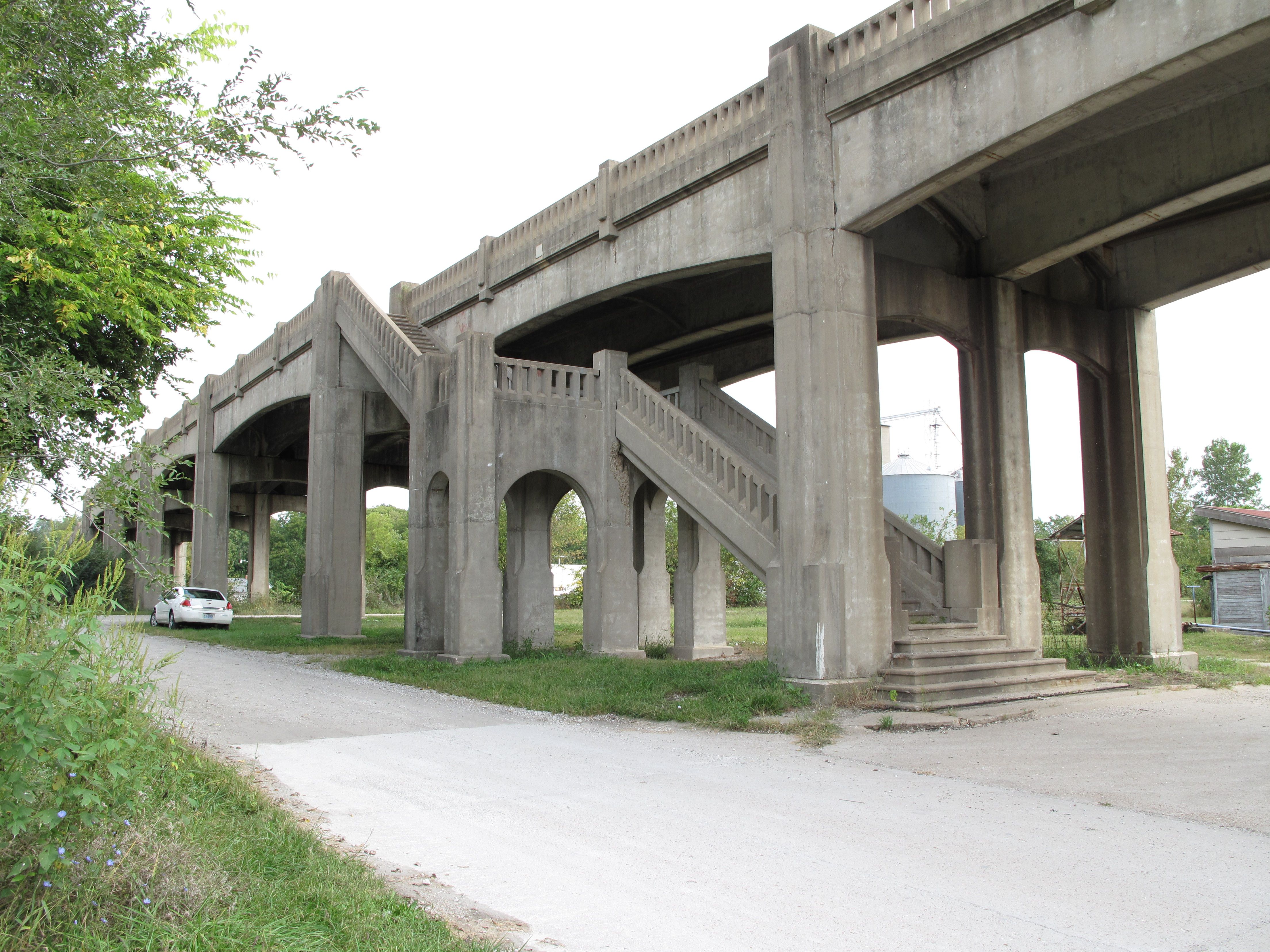
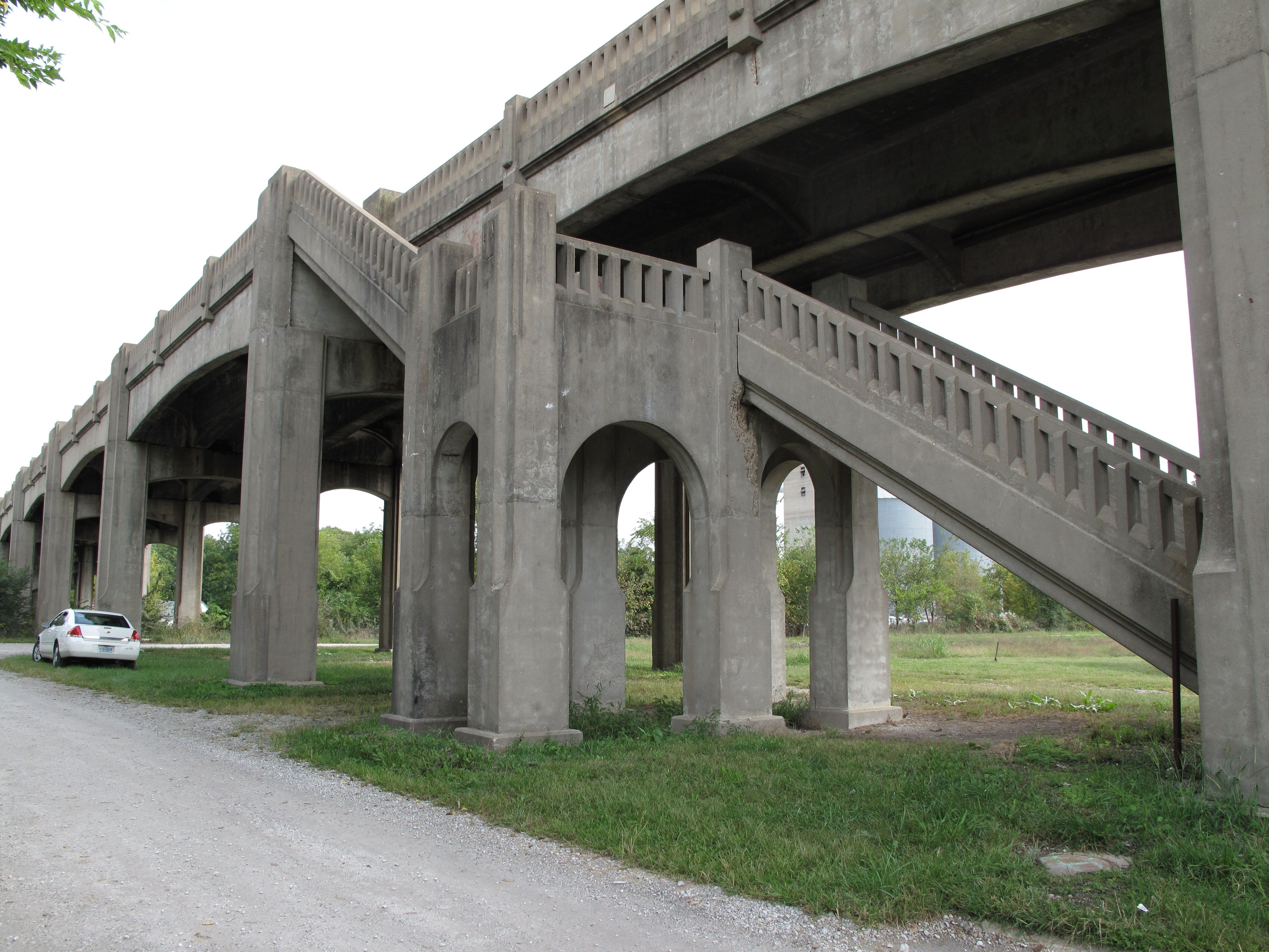

Photo Credit: Randall Dawdy, Missouri Department of Transportation
Photos considered for MoDOT's demolition mitigation. MoDOT Caption: The viaduct had a sidewalk, accessed by grand staircases on either side of the rail yard, which allowed pedestrians to cross the rail yard.
![]()


Photo Credit: Randall Dawdy, Missouri Department of Transportation
Photos considered for MoDOT's demolition mitigation. MoDOT Caption: The detailing on the viaduct avoided sharp edges and flat surfaces common on bridges, and was much commented on in regional media reports during construction.
![]()
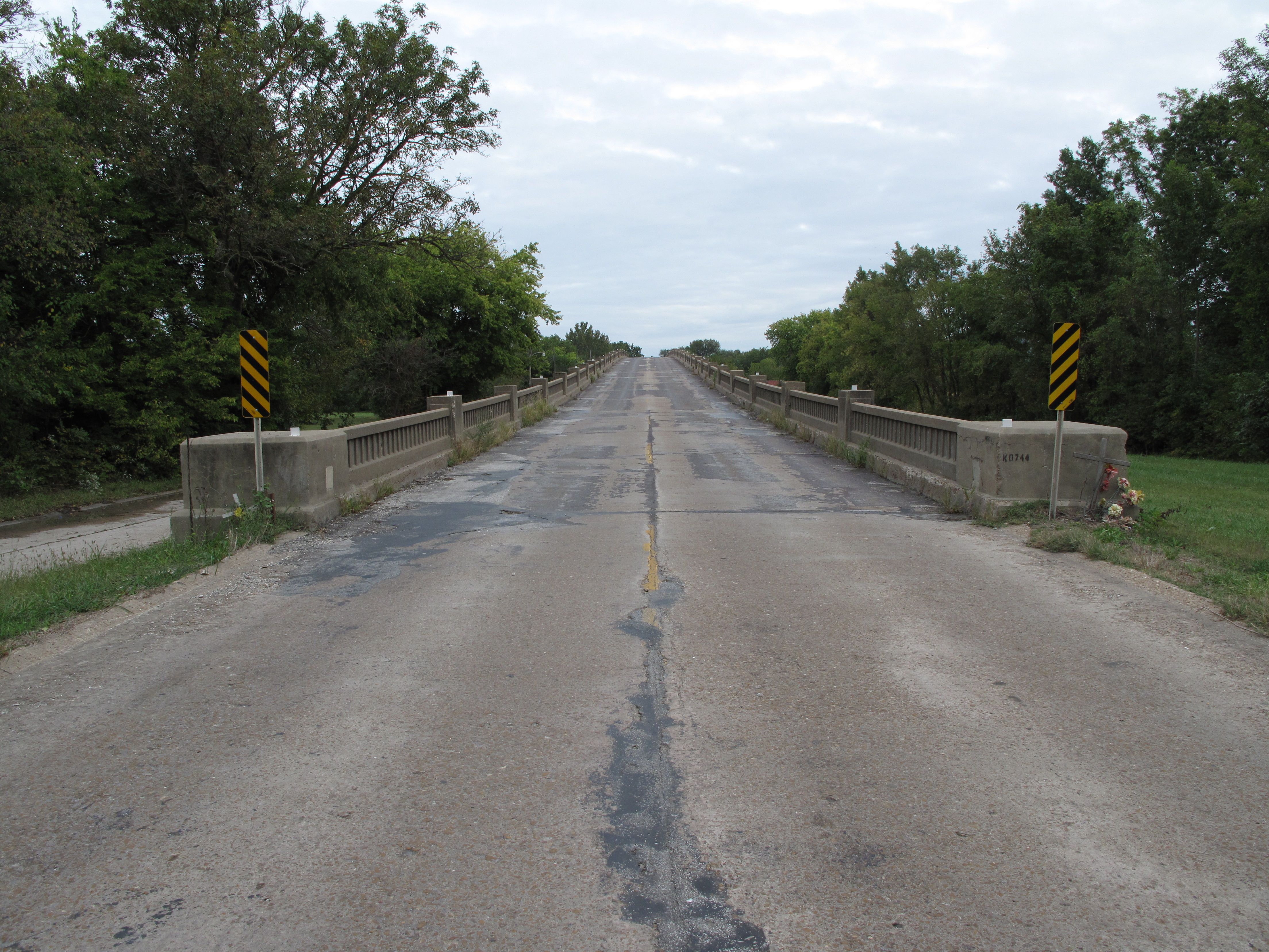


Photo Credit: Randall Dawdy, Missouri Department of Transportation
Photos considered for MoDOT's demolition mitigation. MoDOT Caption: The viaduct was the south entrance to New Franklin for 70 years before it was removed.
![]()


Photo Credit: Randall Dawdy, Missouri Department of Transportation
Photos considered for MoDOT's demolition mitigation. MoDOT Caption: Railings from the viaduct have been incorporated into the Katy Trail state park, and the concrete made 5000 tons of rock for state and local road projects.
![]()


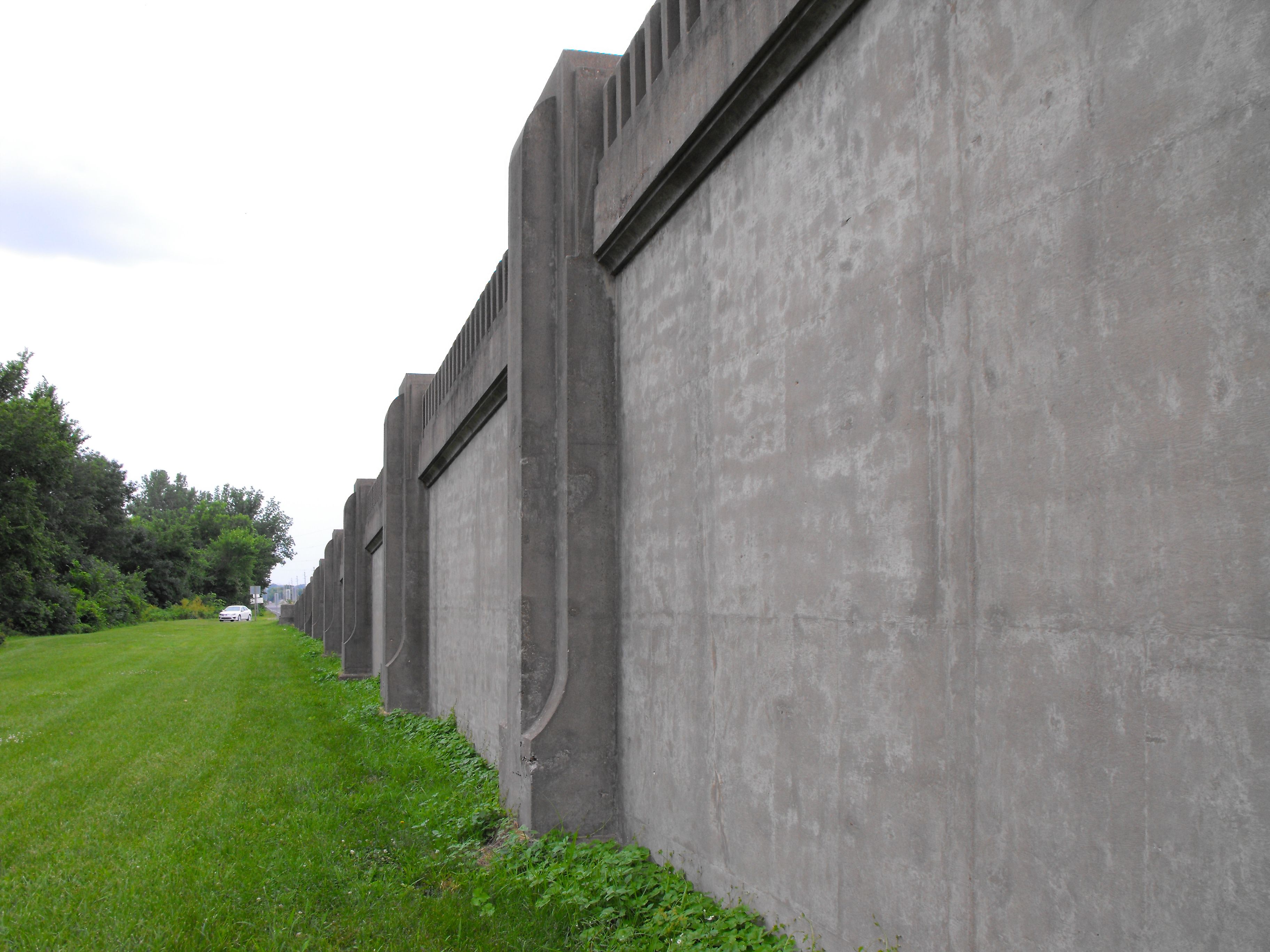
Railing and girder overview.
![]()

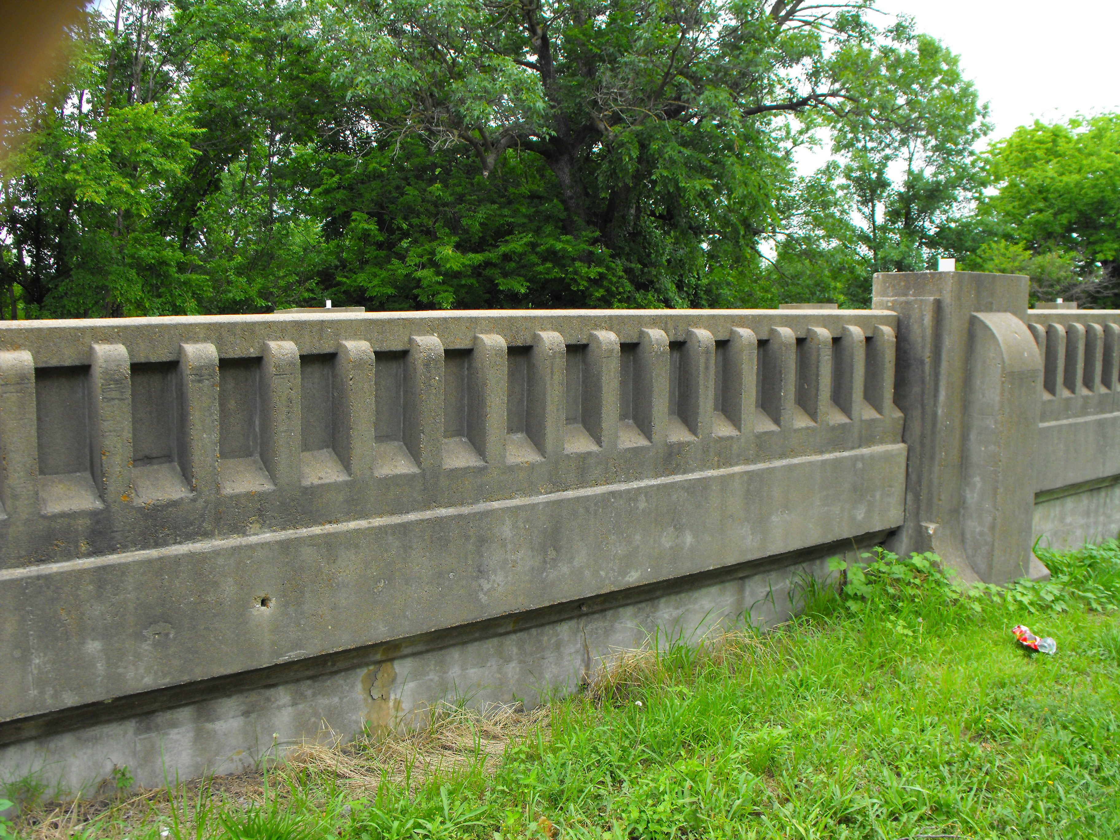
Railing details.
![]()
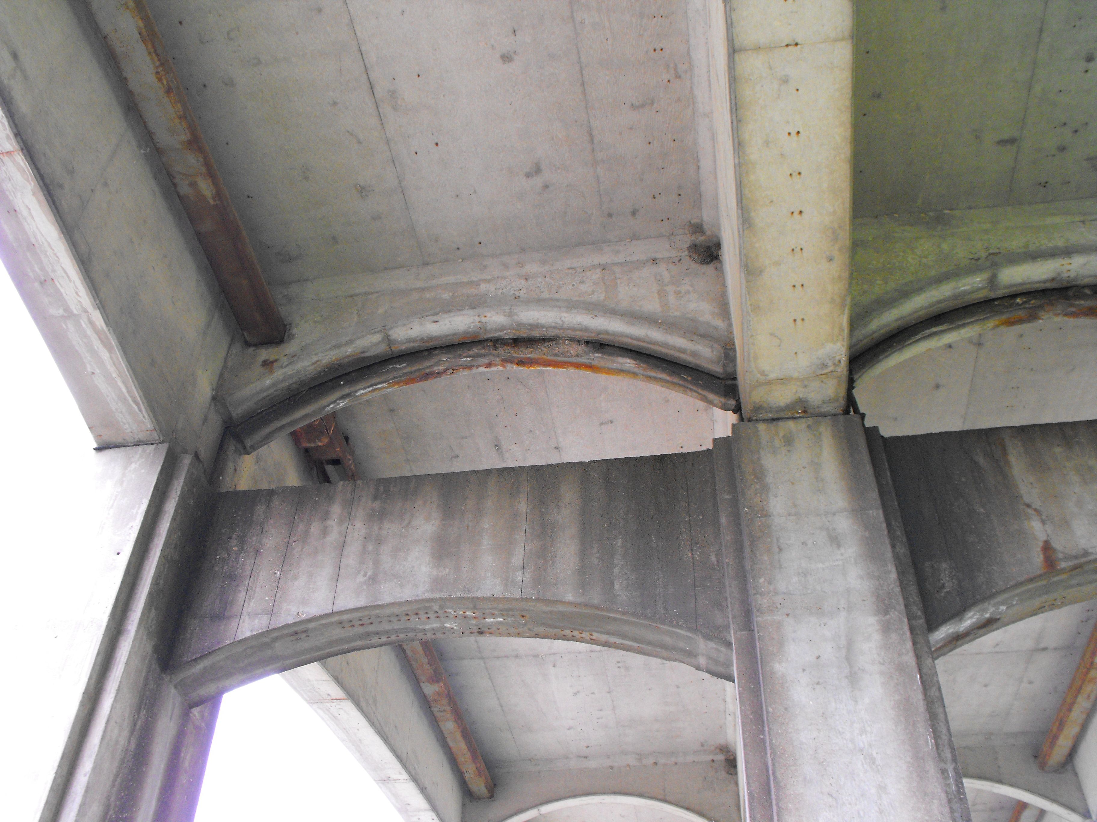
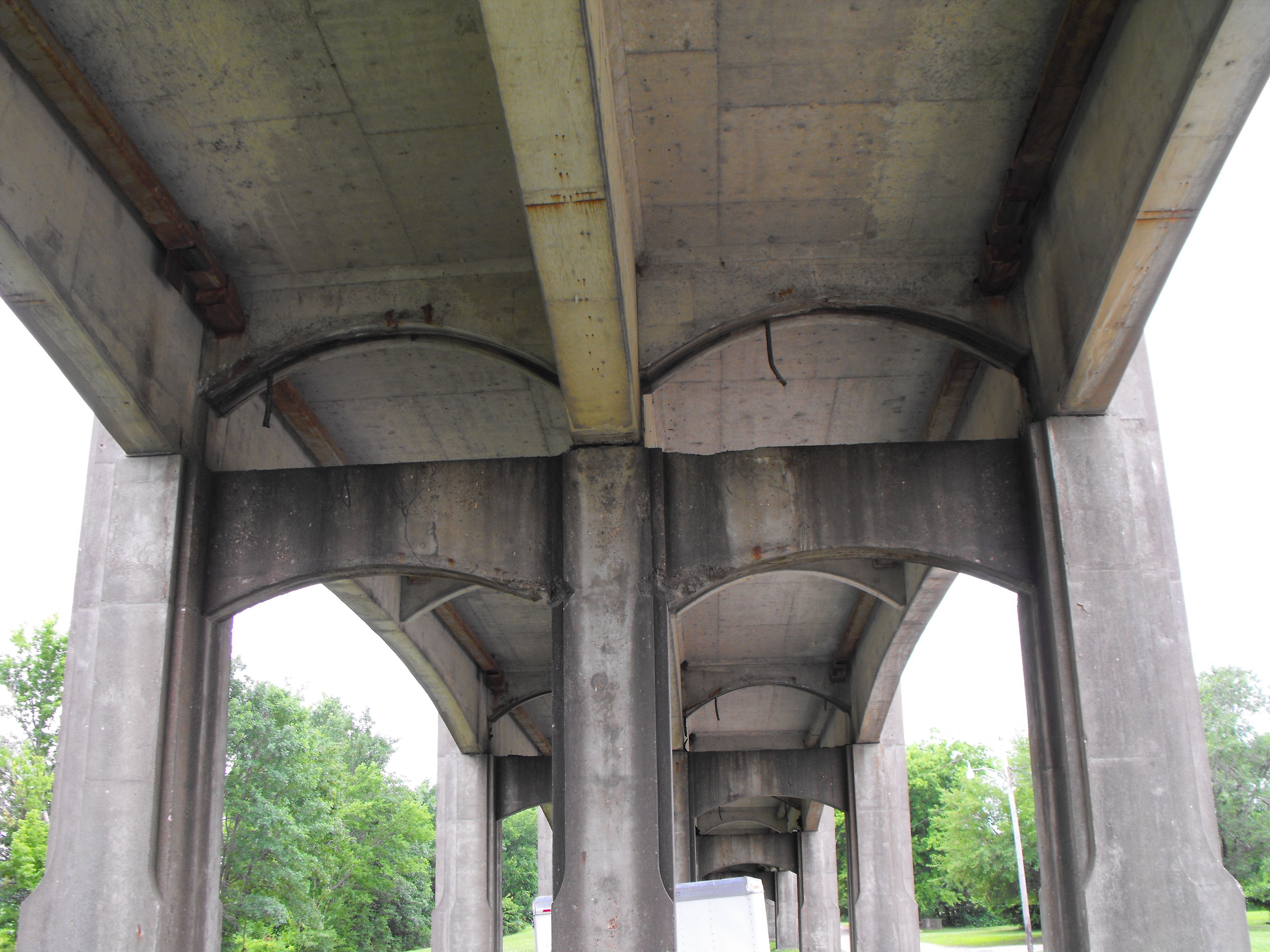


Superstructure details.
![]()

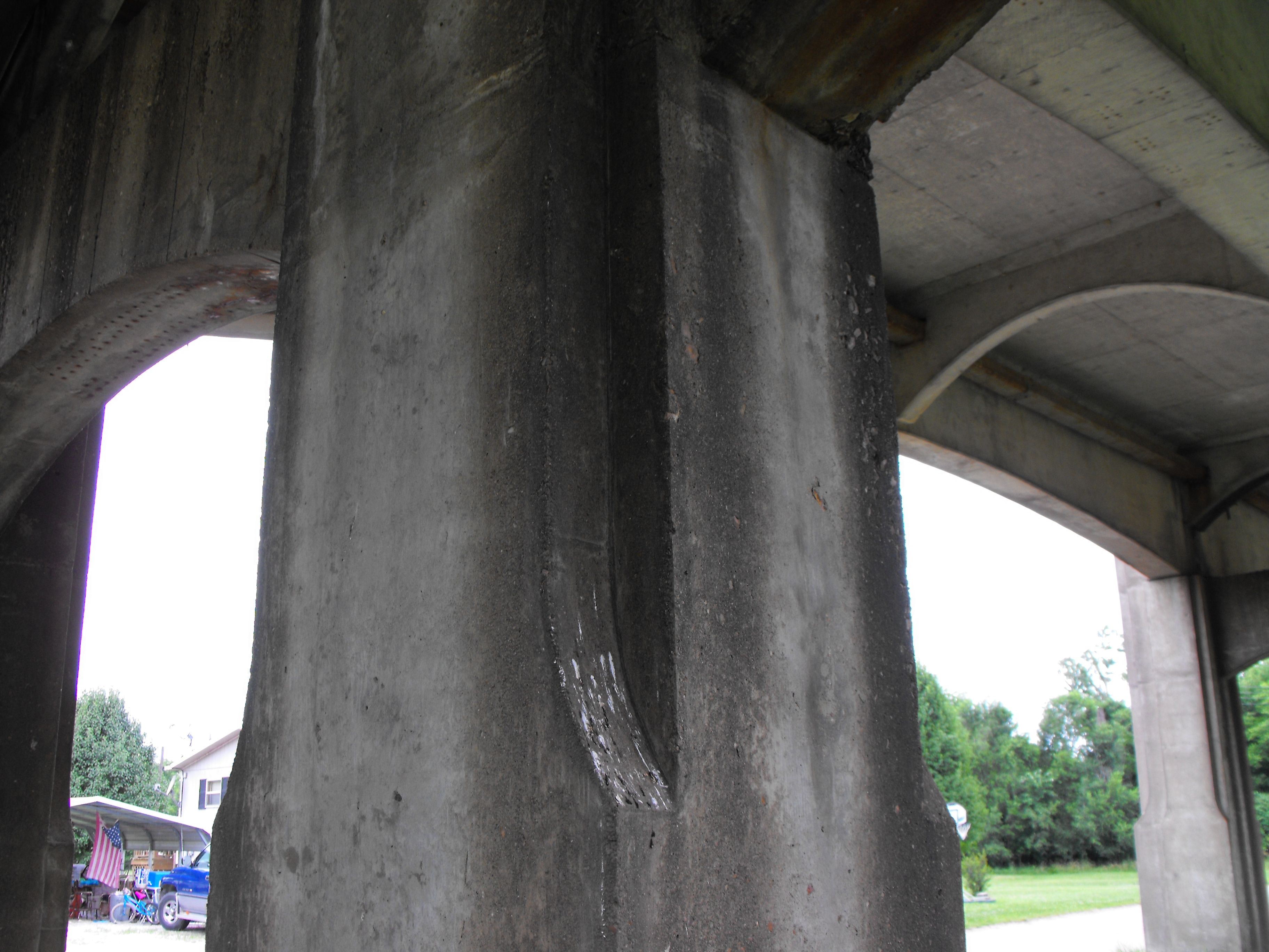
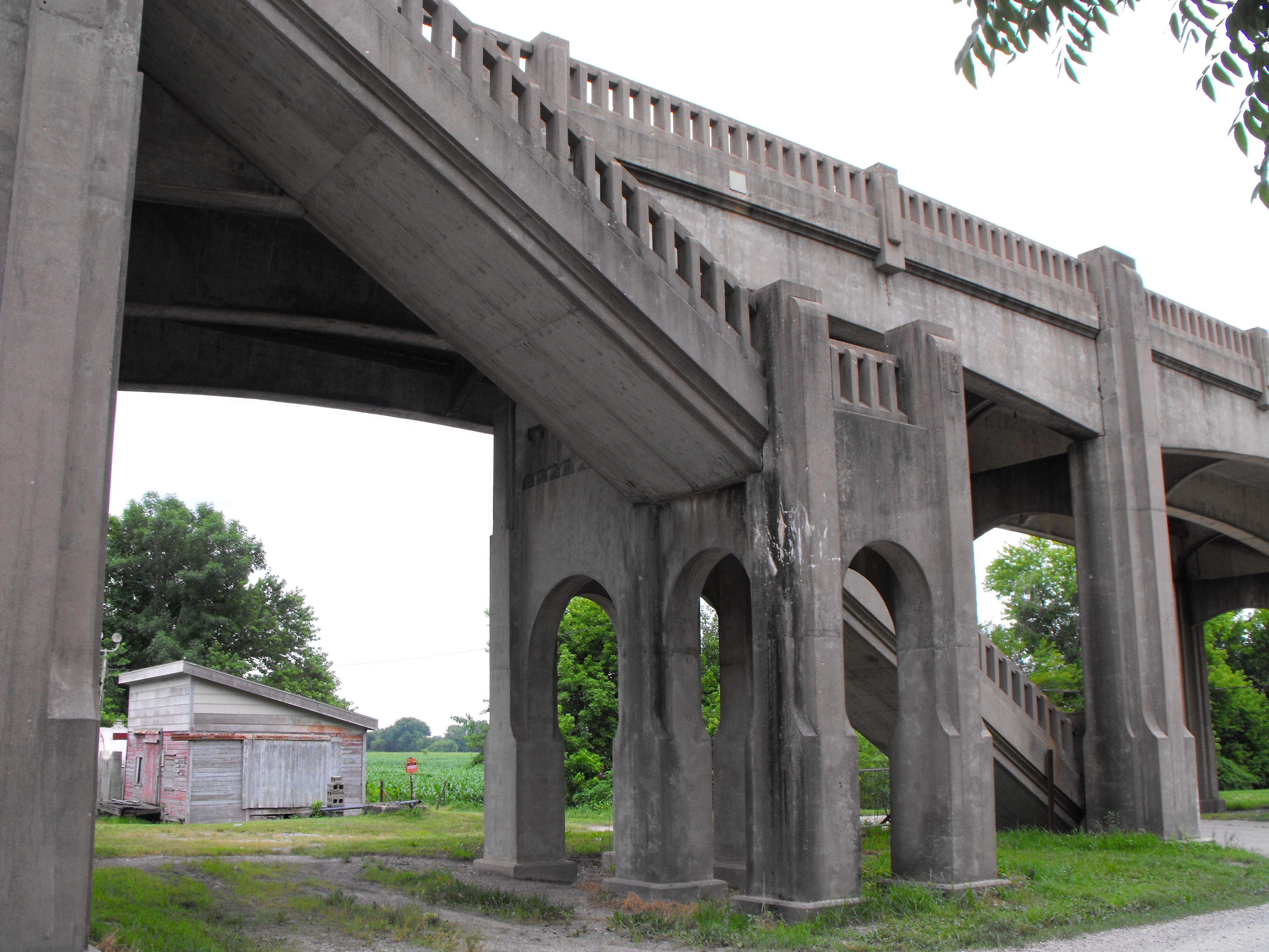
Piers.
![]()

Abutment.
![]()
![]()

![]()