
Google Map: (More Links and Maps Below)
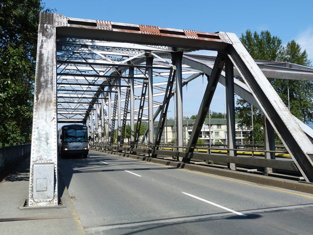
Location: TC-1 (Island Highway) Southbound Over Cowichan River In Duncan and North Cowichan: Cowichan Valley District, British Columbia, Canada
Latitude: 48.771670 Longitude: -123.698850 ( 48.771670,-123.698850 )
View Bridge Location In:
Android: Open Location In Your Map or GPS App
![]()
| Back |
| Home |
| Top |

![]()