
Google Map: (More Links and Maps Below)
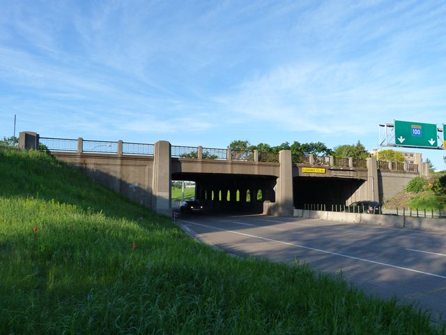
Location: Minnetonka Boulevard (CR-5) Over MN-100 In St. Louis Park: Hennepin County, Minnesota, United States
Latitude: 44.948500 Longitude: -93.347900 ( 44.948500,-93.347900 )
This historic bridge has been demolished. This map is shown for reference purposes only.
View Bridge Location In:
Bridgehunter.com: View listed bridges within a half mile of this bridge.
Bridgehunter.com: View listed bridges within 10 miles of this bridge.
Android: Open Location In Your Map or GPS App
![]()
| Back |
| Home |
| Top |

![]()