
Google Map: (More Links and Maps Below)
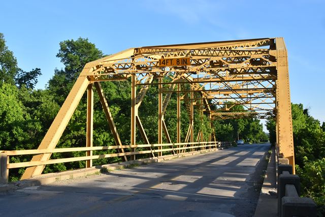
Location: OK-11 (4th Avenue) Over Hominy Creek In Rural: Tulsa County, Oklahoma, United States
Latitude: 36.352301 Longitude: -95.991074 ( 36.352301,-95.991074 )
This bridge was previously located at 36.31571, -95.99149. Current location is private property, but viewable from public highway OK-11.
View Bridge Location In:
Bridgehunter.com: View listed bridges within a half mile of this bridge.
Bridgehunter.com: View listed bridges within 10 miles of this bridge.
Android: Open Location In Your Map or GPS App
![]()
| Back |
| Home |
| Top |

![]()