
Google Map: (More Links and Maps Below)
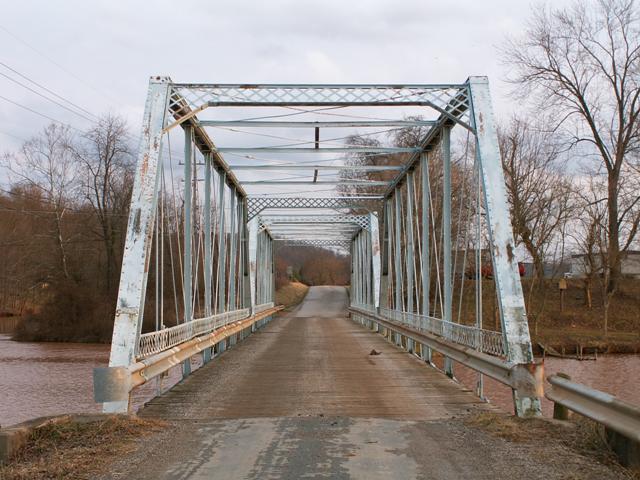
Location: Robin Hood Road (CR-11) Over Lee Creek In Lee Creek (Rural): Wood County, West Virginia, United States
Latitude: 39.153840 Longitude: -81.735360 ( 39.153840,-81.735360 )
This historic bridge has been demolished. This map is shown for reference purposes only.
View Bridge Location In:
Bridgehunter.com: View listed bridges within a half mile of this bridge.
Bridgehunter.com: View listed bridges within 10 miles of this bridge.
Android: Open Location In Your Map or GPS App
![]()
| Back |
| Home |
| Top |

![]()