Bridges Found: 40
![]()
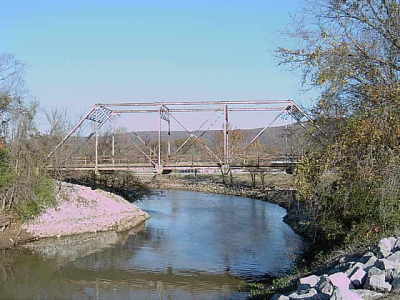
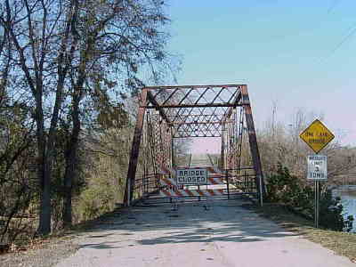
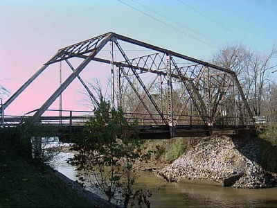
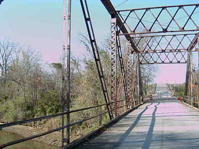
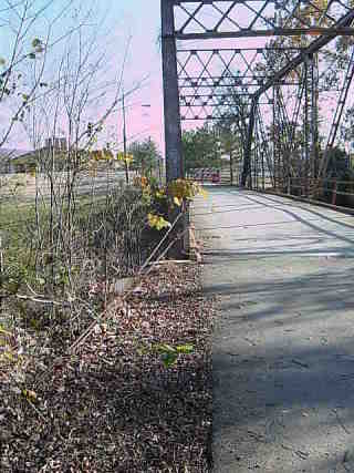
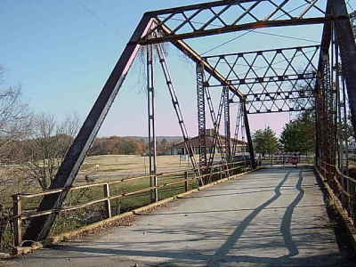
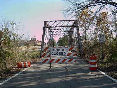
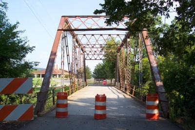
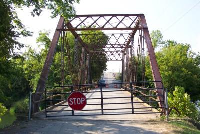
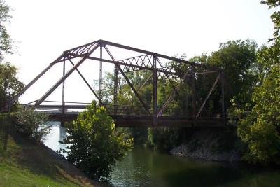
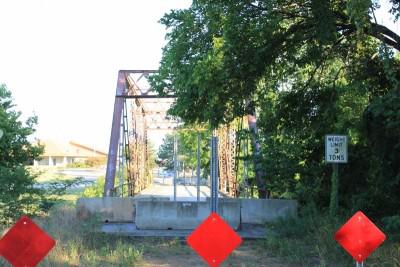
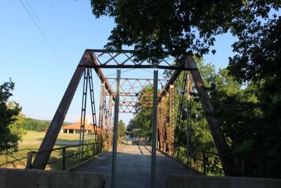
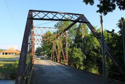
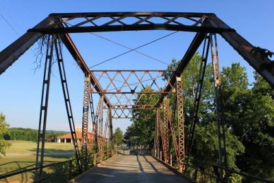
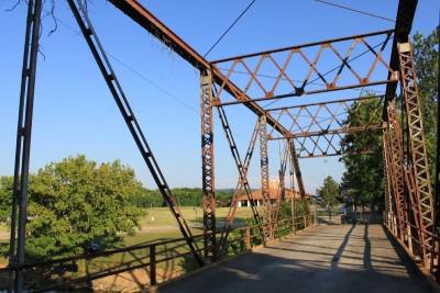
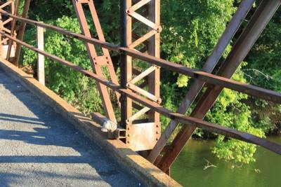
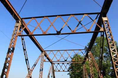
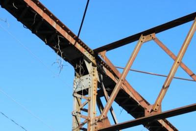
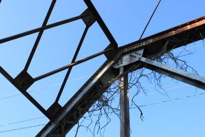
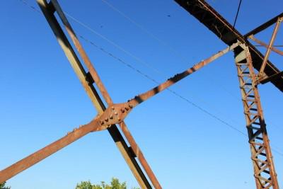
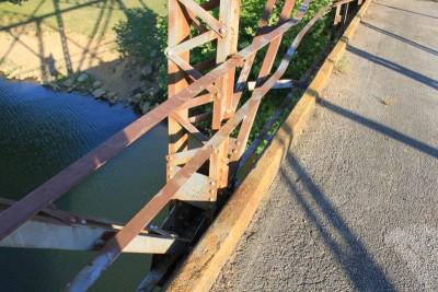
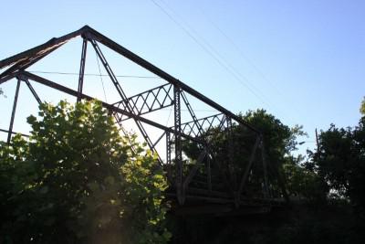
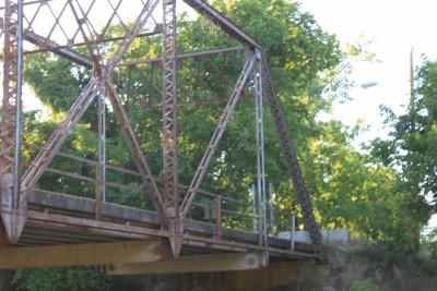
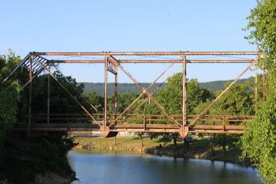
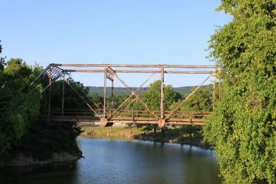
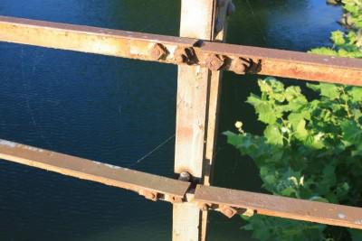
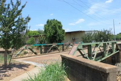
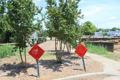
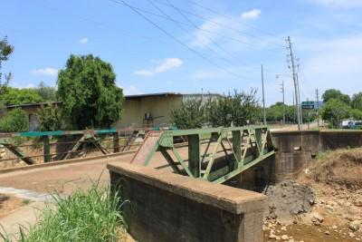
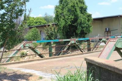
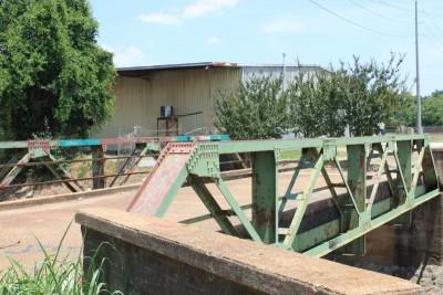
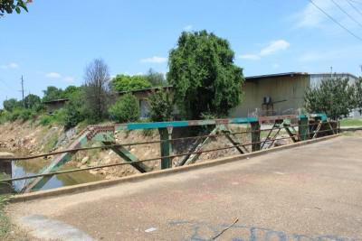
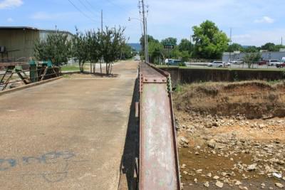
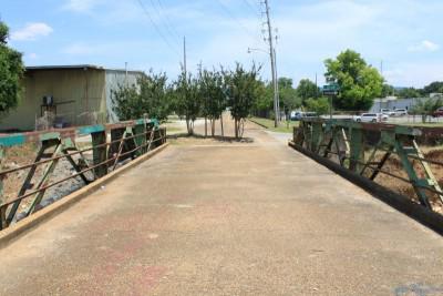
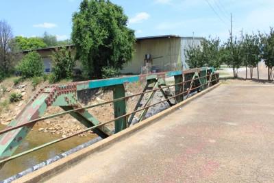
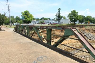
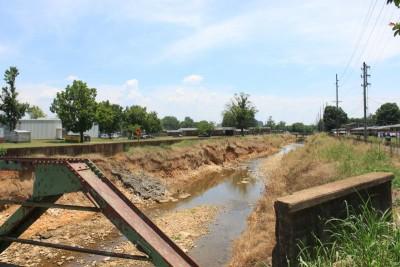
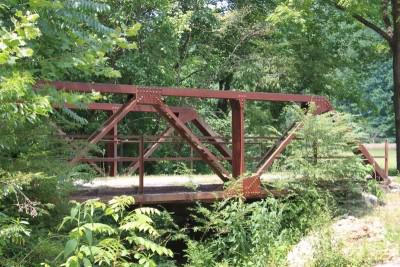
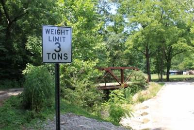
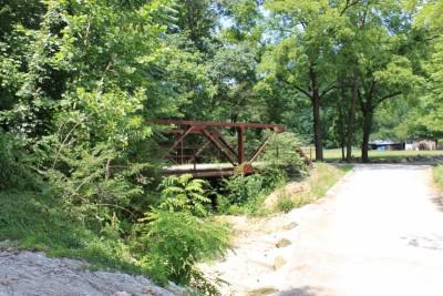
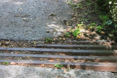
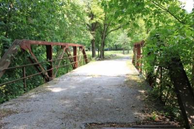
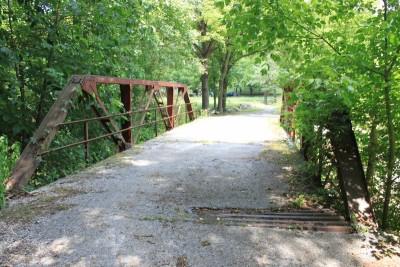
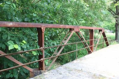
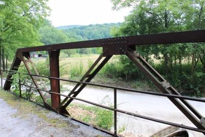
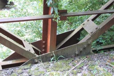
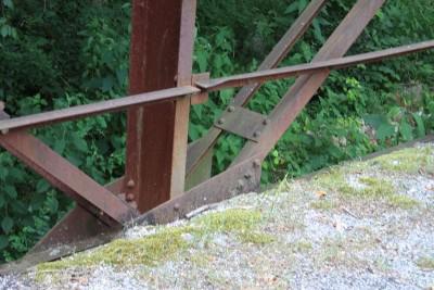
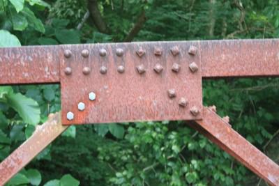
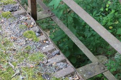
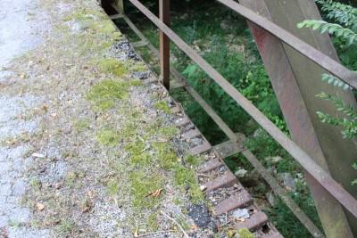
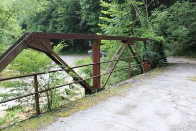
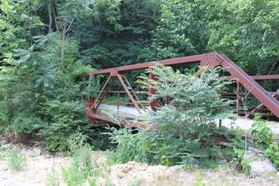
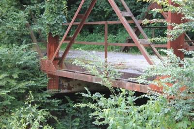
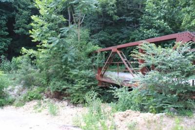
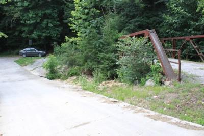
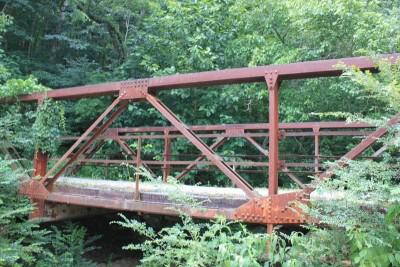
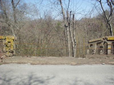
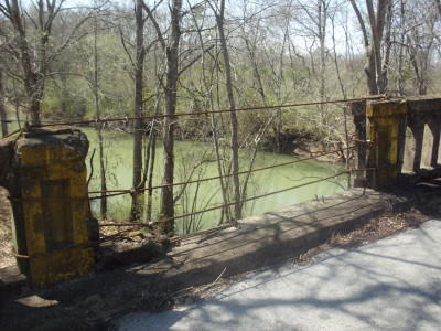
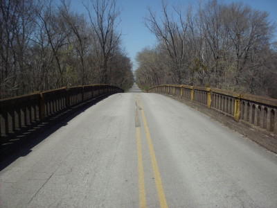
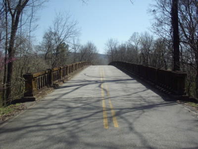
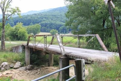
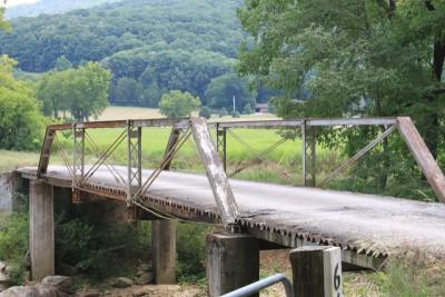
Boat Dock Road Bridge
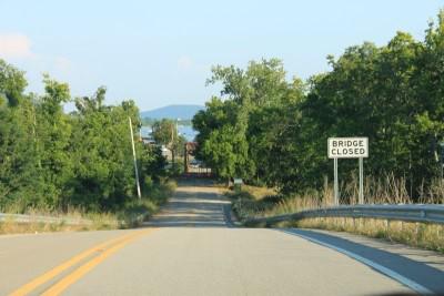
Status: Closed to traffic
Location: 34.576426,-86.563468
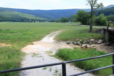
Carries Boat Dock Road over Aldridge Creek
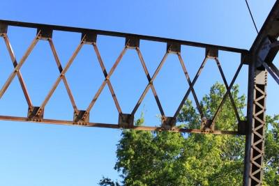
Design: truss/through/pratt
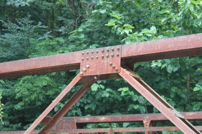
Design Details: Riveted, 5-panel Pratt through truss
Total Length: 111.9 Feet
Span Length: 111.9 Feet
Overview: Through truss bridge over Aldridge Creek on Boat Dock Road in Huntsville
History: Built 1925
Built: 1925
Location: Madison County
View Bridge Information In Wayback Machine
![]()
109684
The west face
Photo taken by J.R. Manning in November 2007
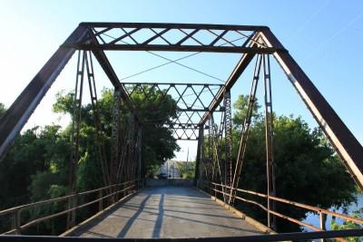
109685
The south portal
Photo taken by J.R. Manning in November 2007
109686
Isometric View SE to NW
Photo taken by J.R. Manning in November 2007
109687
The west truss and deck
Photo taken by J.R. Manning in November 2007
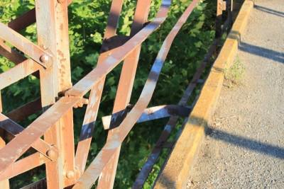
109688
North truss and portal
Note the flimsy wire guard on the approach.
Photo taken by J.R. Manning in November 2007
109689
East truss and deck
Photo taken by J.R. Manning in November 2007
109690
The north portal
Photo taken by J.R. Manning in November 2007
109691
North abutment
Photo taken by J.R. Manning in November 2007
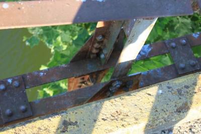
109692
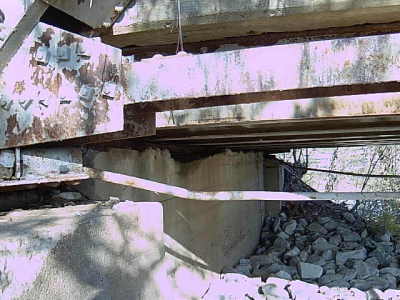
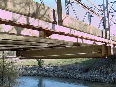
The undercarriage
Photo taken by J.R. Manning in November 2007
109693
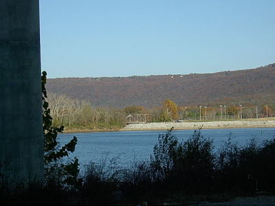
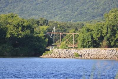
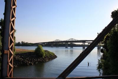
As seen from the southern shore of the Tennessee River
This was taken from beneath the US 231 bridge that crosses the Tennessee River. The light standards, to the right, are from the parking lot of a recreational area.
Photo taken by J.R. Manning in November 2007
109694
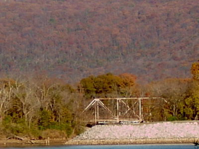
From the southern shore of the Tennessee River
Photo taken by J.R. Manning in November 2007
131941
Photo taken by James McCray
131942
Photo taken by James McCray
131943
Photo taken by James McCray
233806
Photo taken by Ben Tate in June 2012
233807
Photo taken by Ben Tate in June 2012
233808
Photo taken by Ben Tate in June 2012
233809
Photo taken by Ben Tate in June 2012
233810
Photo taken by Ben Tate in June 2012
233811
Photo taken by Ben Tate in June 2012
233812
Photo taken by Ben Tate in June 2012
233813
Photo taken by Ben Tate in June 2012
233814
Photo taken by Ben Tate in June 2012
233815
Photo taken by Ben Tate in June 2012
233816
Photo taken by Ben Tate in June 2012
233817
Photo taken by Ben Tate in June 2012
233818
Photo taken by Ben Tate in June 2012
233819
Photo taken by Ben Tate in June 2012
233820
Photo taken by Ben Tate in June 2012
233821
Photo taken by Ben Tate in June 2012
233822
Photo taken by Ben Tate in June 2012
233823
Photo taken by Ben Tate in June 2012
233824
Photo taken by Ben Tate in June 2012
233825
Photo taken by Ben Tate in June 2012
233826
Photo taken by Ben Tate in June 2012
233827
Photo taken by Ben Tate in June 2012
233828
Photo taken by Ben Tate in June 2012
![]()
Pinhook Creek Bridge
Status: Open to pedestrians only
Location: 34.745567,-86.590916
Carries Abingdon Avenue over Pinhook Creek
Design: truss/pony/warren
Design Details: Warren pony truss
Total Length: 60.0 Feet
Span Length: 60.0 Feet
Overview: Warren pony truss bridge over Pinhook Creek on Abingdon Road in Huntsville
History: Built ca. 1930
Built: ca. 1930
Location: Madison County
View Bridge Information In Wayback Machine
![]()
233975
Photo taken by Ben Tate in June 2012
233976
Photo taken by Ben Tate in June 2012
233977
Photo taken by Ben Tate in June 2012
233978
Photo taken by Ben Tate in June 2012
233979
Photo taken by Ben Tate in June 2012
233980
Photo taken by Ben Tate in June 2012
233981
Photo taken by Ben Tate in June 2012
233982
Photo taken by Ben Tate in June 2012
233983
Photo taken by Ben Tate in June 2012
233984
Photo taken by Ben Tate in June 2012
233985
Photo taken by Ben Tate in June 2012
![]()
Upper Hurricane Road Bridge
Status: Open to pedestrians only
Location: 34.919218,-86.358835
Carries Upper Hurricane Road over Hurricane Creek
Design: truss/pony/warren/verticals
Design Details: Warren pony truss with all verticals
Total Length: 50.9 Feet
Span Length: 50.9 Feet
Overview: Pony truss bridge over Hurricane Creek on Upper Hurricane Road
History: Built 1910 near Ditto Landing; moved to Upper Hurricane Road in 1960s; moved to Sharon Johnston Park August 13, 2019.
Built: 1910
Location: Madison County
View Bridge Information In Wayback Machine
![]()
233996
Photo taken by Ben Tate in June 2012
233997
Photo taken by Ben Tate in June 2012
233998
Photo taken by Ben Tate in June 2012
233999
Photo taken by Ben Tate in June 2012
234000
Photo taken by Ben Tate in June 2012
234001
Photo taken by Ben Tate in June 2012
234002
Photo taken by Ben Tate in June 2012
234003
Photo taken by Ben Tate in June 2012
234004
Photo taken by Ben Tate in June 2012
234005
Photo taken by Ben Tate in June 2012
234006
Photo taken by Ben Tate in June 2012
234007
Photo taken by Ben Tate in June 2012
234008
Photo taken by Ben Tate in June 2012
234009
Photo taken by Ben Tate in June 2012
234010
Photo taken by Ben Tate in June 2012
234011
Photo taken by Ben Tate in June 2012
234012
Photo taken by Ben Tate in June 2012
234013
Photo taken by Ben Tate in June 2012
234014
Photo taken by Ben Tate in June 2012
234015
Photo taken by Ben Tate in June 2012
![]()
Old 431 (Flint River Relief Bridge-Upper Northern Unit)
Status: Open to one-lane traffic
Location: 34.658633,-86.453226
Carries Old 431 Hwy over Flint River Relief
Design: slab
Design Details: Slab
Total Length: 54.1 Feet
Span Length: 18.0 Feet
Overview: Slab bridge over Flint River Relief on Old 431 Hwy
History: Built 1925
Built: 1925
Location: Madison County
View Bridge Information In Wayback Machine
![]()
280966
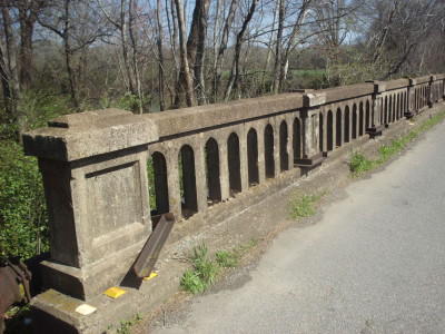
Railing Detail
Photo taken by James McCray in March 2014
280967
Looking South
Photo taken by James McCray in March 2014
280968
Looking South
Photo taken by James McCray in March 2014
280969
Railing Detail
Photo taken by James McCray in March 2014
280970
Makeshift Railing Repair
Photo taken by James McCray in March 2014
280971
Looking North
Photo taken by James McCray in March 2014
280972
Looking North
Photo taken by James McCray in March 2014
280973
Looking Northeast
Photo taken by James McCray in March 2014
280974
Looking Northeast
Photo taken by James McCray in March 2014
280975
Overview--Looking Northeast
Photo taken by James McCray in March 2014
![]()
Paint Rock River Relief Bridge
Status: Open to one-lane traffic
Location: 34.523229,-86.388563
Carries Old 431 Hwy over Paint Rock River Relief
Design: beam/tee
Design Details: Concrete tee beam
Total Length: 120.1 Feet
Span Length: 29.9 Feet
Overview: Concrete tee beam bridge over Paint Rock River Relief on Old 431 Hwy
History: Built 1928
Built: 1928
Location: Madison County
View Bridge Information In Wayback Machine
![]()
281040
Photo taken by James McCray in March 2014
281041
Photo taken by James McCray in March 2014
281042
Photo taken by James McCray in March 2014
281043
Photo taken by James McCray in March 2014
281044
Photo taken by James McCray in March 2014
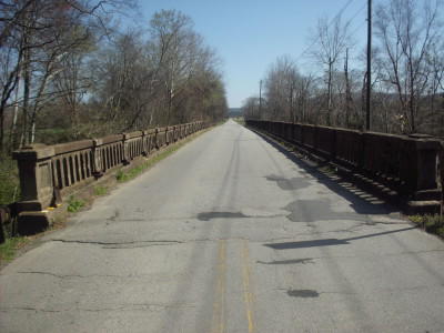
281045
Photo taken by James McCray in March 2014
281046
Photo taken by James McCray in March 2014
281047
Photo taken by James McCray in March 2014
281048
Photo taken by James McCray in March 2014
281049
Photo taken by James McCray in March 2014
281050
Photo taken by James McCray in March 2014
281051
Photo taken by James McCray in March 2014
281052
Photo taken by James McCray in March 2014
![]()
Paint Rock River Bridge
Status: Open to one-lane traffic
Location: 34.517918,-86.385579
Carries Old 431 Hwy over Paint Rock River
Design: beam/tee
Design Details: Concrete tee beam
Total Length: 180.1 Feet
Span Length: 29.9 Feet
Overview: Concrete tee beam bridge over Paint Rock River on Old 431 Hwy
History: Built 1927
Built: 1927
Location: Madison County
View Bridge Information In Wayback Machine
![]()
281019
Photo taken by James McCray in March 2014
281020
Photo taken by James McCray in March 2014
281021
Photo taken by James McCray in March 2014
281022
Photo taken by James McCray in March 2014
281023
Photo taken by James McCray in March 2014
281024
Photo taken by James McCray in March 2014
281025
Photo taken by James McCray in March 2014
281026
Photo taken by James McCray in March 2014
281027
Photo taken by James McCray in March 2014
281028
Photo taken by James McCray in March 2014
281029
Photo taken by James McCray in March 2014
281030
Photo taken by James McCray in March 2014
![]()
Goose Creek Bridge
Status: Open to traffic
Location: 34.629851,-86.452354
Carries Old 431 Hwy over Goose Creek
Design: slab
Design Details: Slab
Total Length: 82.0 Feet
Span Length: 21.0 Feet
Overview: Slab bridge over Goose Creek on Old 431 Hwy
History: Built 1928
Built: 1928
Location: Madison County
View Bridge Information In Wayback Machine
![]()
![]()
Flint River Relief Bridge
Status: Open to one-lane traffic
Location: 34.648269,-86.445415
Carries Old 431 Hwy over Flint River Relief
Design: slab
Design Details: Slab
Total Length: 89.9 Feet
Span Length: 18.0 Feet
Overview: Slab bridge over Flint River Relief on Old 431 Hwy
History: Built 1928
Built: 1928
Location: Madison County
View Bridge Information In Wayback Machine
![]()
![]()
Flint River Bridge
Status: Open to one-lane traffic
Location: 34.651526,-86.448440
Carries Old 431 Hwy over Flint River
Design: beam/tee
Design Details: Concrete tee beam
Total Length: 266.1 Feet
Span Length: 38.1 Feet
Overview: Concrete tee beam bridge over Flint River on Old 431 Hwy
History: Built 1928
Built: 1928
Location: Madison County
View Bridge Information In Wayback Machine
![]()
280983
Photo taken by James McCray in March 2014
280984
Photo taken by James McCray in March 2014
280985
Photo taken by James McCray in March 2014
280986
Photo taken by James McCray in March 2014
280987
Photo taken by James McCray in March 2014
280988
Photo taken by James McCray in March 2014
280989
Photo taken by James McCray in March 2014
280990
Photo taken by James McCray in March 2014
280991
Photo taken by James McCray in March 2014
280992
Photo taken by James McCray in March 2014
280993
Photo taken by James McCray in March 2014
280994
Photo taken by James McCray in March 2014
280995
Photo taken by James McCray in March 2014
280996
Photo taken by James McCray in March 2014
280997
Photo taken by James McCray in March 2014
280998
Photo taken by James McCray in March 2014
280999
Photo taken by James McCray in March 2014
281000
Photo taken by James McCray in March 2014
281001
Photo taken by James McCray in March 2014
281002
Photo taken by James McCray in March 2014
![]()
LN - Flint River Bridge
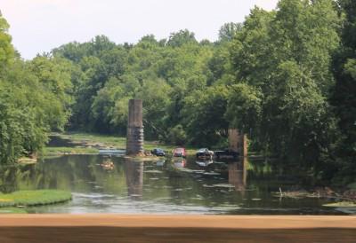
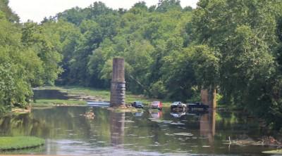
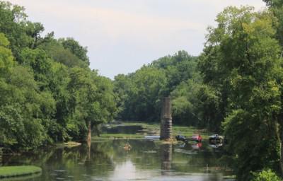
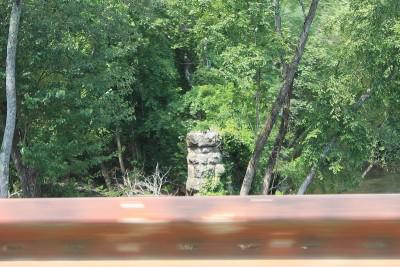
Status: Only 5 piers and the 2 abutments remain
Location: 34.819773,-86.481650
Carries Abandoned L&N Railroad over Flint River
Design: unknown
Design Details:
Total Length: 0.0 Feet
Span Length: 0.0 Feet
Overview: Lost Railroad bridge over Flint River on abandoned L&N alignment
History: Was part of the L&N Huntsville, AL, to Decherd, TN, Railroad
Built:
Location: Madison County
View Bridge Information In Wayback Machine
![]()
233987
Photo taken by Ben Tate in June 2012
233988
Photo taken by Ben Tate in June 2012
233989
Photo taken by Ben Tate in June 2012
![]()
Cramer Hollow Bridge
Status: Closed to public
Location: 34.891702,-86.368995
Carries Private Road over Upper Hurricane Creek
Design: truss/pony/pratt
Design Details: Pinned Pratt pony truss
Total Length: 0.0 Feet
Span Length: 0.0 Feet
Overview: Pratt pony truss bridge over Upper Hurricane Creek on Private Road
History:
Built: ca. 1900
Location: Madison County
View Bridge Information In Wayback Machine
![]()
233990
Photo taken by Ben Tate in June 2012
233991
Photo taken by Ben Tate in June 2012
233992
Photo taken by Ben Tate in June 2012
233993
Photo taken by Ben Tate in June 2012
233994
The alternative route
Photo taken by Ben Tate in June 2012
![]()
Brier Fork Flint River Bridge
Status: Only two piers remains
Location: 34.823316,-86.484836
Carries Riverton Road over Brier Fork Flint River
Design: unknown
Design Details:
Total Length: 0.0 Feet
Span Length: 0.0 Feet
Overview: Lost Bridge over Brier Fork Flint River on Riverton Road
History:
Built:
Location: Madison County
View Bridge Information In Wayback Machine
![]()
233995
One of the remaining piers
Photo taken by Ben Tate in June 2012
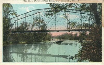
509558
Three Forks of Flint River Bridge
This may be the Brier Fork Flint River Bridge
Photo from old postcard
![]()
Unknown Bridge
Status: Only some piers remain
Location: 34.765945,-86.442399
Carries over Flint River
Design: unknown
Design Details:
Total Length: 0.0 Feet
Span Length: 0.0 Feet
Overview: Lost Bridge over Flint River
History:
Built:
Location: Madison County
View Bridge Information In Wayback Machine
![]()
![]()
Knox Creek Bridge
Status: Open to traffic
Location: 34.770124,-86.749454
Carries Wall Triana Hwy over Knox Creek
Design: slab
Design Details: Slab
Total Length: 22.0 Feet
Span Length: 9.8 Feet
Overview: Slab bridge over Knox Creek on Wall Triana Hwy
History: Built 1919; rehabilitated 1938
Built: 1919
Location: Madison County
View Bridge Information In Wayback Machine
![]()
![]()
Knox Creek Bridge
Status: Open to traffic
Location: 34.766034,-86.749513
Carries Wall Triana Road over Knox Creek
Design: slab
Design Details: Slab
Total Length: 22.0 Feet
Span Length: 9.8 Feet
Overview: Slab bridge over Knox Creek on Wall Triana Road
History: Built 1919; rehabilitated 1936
Built: 1919
Location: Madison County
View Bridge Information In Wayback Machine
![]()
![]()
Rodgers Branch Bridge
Status: Open to traffic
Location: 34.888667,-86.409871
Carries Frank Hereford Road over Rodgers Branch
Design: girder
Design Details: Girder
Total Length: 24.0 Feet
Span Length: 12.1 Feet
Overview: Girder bridge over Rodgers Branch on Frank Hereford Road
History: Built 1914
Built: 1914
Location: Madison County
View Bridge Information In Wayback Machine
![]()
![]()
Hurricane Creek Bridge
Status: Open to traffic
Location: 34.879002,-86.387161
Carries Sharpes Hollow Road over Hurricane Creek
Design: beam/stringer/steel
Design Details: Steel stringer
Total Length: 60.0 Feet
Span Length: 29.9 Feet
Overview: Steel stringer bridge over Hurricane Creek on Sharpes Hollow Road
History: Built 1915; rehabilitated 1953
Built: 1915
Location: Madison County
View Bridge Information In Wayback Machine
![]()
![]()
Paint Rock River Bridge
Status: Replaced by a new bridge
Location: 34.579488,-86.301538
Carries CR 610 over Paint Rock River
Design: truss/pony
Design Details: Pony truss
Total Length: 141.1 Feet
Span Length: 81.0 Feet
Overview: Lost Pony truss bridge over Paint Rock River on CR 610
History: Built 1927
Built: 1927
Location: Madison County
View Bridge Information In Wayback Machine
![]()
![]()
NS - Flint River Bridge
Status: Open to traffic
Location: 34.753344,-86.450022
Carries Norfolk Southern Railway over Flint River
Design: truss/through/warren/verticals
Design Details: Warren through truss with all verticals
Total Length: 0.0 Feet
Span Length: 0.0 Feet
Overview: Warren through truss with all verticals bridge over Flint River on Norfolk Southern Railway
History:
Built:
Location: Madison County
View Bridge Information In Wayback Machine
![]()
![]()
Indian Creek Bridge
Status: Demolished
Location: 34.708979,-86.700923
Carries Old Madison Pike over Indian Creek
Design: girder
Design Details: Girder
Total Length: 118.4 Feet
Span Length: 36.1 Feet
Overview: Girder bridge over Indian Creek on Old Madison Pike
History: Built 1936; demolished 2014
Built: 1936
Location: Madison County
View Bridge Information In Wayback Machine
![]()
238891
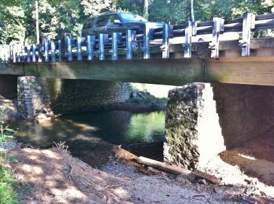
Stone Piers
Photo taken by Ben Tate in September 2012
238892
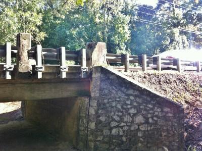
Barely anything left of the original railing
Photo taken by Ben Tate in September 2012
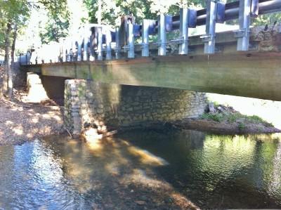
238893
Photo taken by Ben Tate in September 2012
287260
Photo taken by Tim Martin
![]()
Paint Rock River Bridge
Status: Open to traffic
Location: 34.579470,-86.301495
Carries Butler Mill Road over Paint Rock River
Design: beam/tee
Design Details: Concrete tee beam
Total Length: 165.0 Feet
Span Length: 86.9 Feet
Overview: Concrete tee beam bridge over Paint Rock River on Butler Mill Road
History: Built 1927; rehabilitated 1993
Built: 1927
Location: Madison County
View Bridge Information In Wayback Machine
![]()
![]()
Indian Creek Bridge
Status: Open to traffic
Location: 34.698167,-86.707004
Carries Slaughter Road over Indian Creek
Design: beam/tee
Design Details: Masonry concrete tee beam
Total Length: 29.9 Feet
Span Length: 29.9 Feet
Overview: Masonry concrete tee beam bridge over Indian Creek on Slaughter Road
History: Built 1940
Built: 1940
Location: Madison County
View Bridge Information In Wayback Machine
![]()
247366
Photo taken by Ben Tate in January 2013
247367
Photo taken by Ben Tate in January 2013
247368
Photo taken by Ben Tate in January 2013
247369
Photo taken by Ben Tate in January 2013
247370
Photo taken by Ben Tate in January 2013
247371
Photo taken by Ben Tate in January 2013
247372
Photo taken by Ben Tate in January 2013
247373
Photo taken by Ben Tate in January 2013
![]()
Indian Creek Bridge
Status: Open to traffic
Location: 34.697712,-86.707009
Carries Slaughter Road over Indian Creek
Design: slab
Design Details: Masonry Slab
Total Length: 24.0 Feet
Span Length: 12.1 Feet
Overview: Masonry slab bridge over Indian Creek on Slaughter Road
History: Built 1940
Built: 1940
Location: Madison County
View Bridge Information In Wayback Machine
![]()
247374
Photo taken by Ben Tate in January 2013
247375
Photo taken by Ben Tate in January 2013
247376
Photo taken by Ben Tate in January 2013
247377
Photo taken by Ben Tate in January 2013
![]()
Bradford Creek Bridge
Status: Open to traffic
Location: 34.700547,-86.777957
Carries Mill Road over Bradford Creek
Design: beam/tee
Design Details: Masonry concrete tee beam
Total Length: 60.0 Feet
Span Length: 29.9 Feet
Overview: Masonry concrete tee beam bridge over Bradford Creek on Mill Road
History: Built 1937
Built: 1937
Location: Madison County
View Bridge Information In Wayback Machine
![]()
![]()
Bradford Creek Bridge
Status: Open to traffic
Location: 34.692192,-86.772230
Carries Palmer Road over Bradford Creek
Design: beam/tee
Design Details: Masonry concrete tee beam
Total Length: 60.0 Feet
Span Length: 29.9 Feet
Overview: Masonry concrete tee beam bridge over Bradford Creek on Palmer Road
History: Built 1940
Built: 1940
Location: Madison County
View Bridge Information In Wayback Machine
![]()
![]()
Palmer Branch Bridge
Status: Open to traffic
Location: 34.692174,-86.768045
Carries Palmer Road over Palmer Branch
Design: beam/tee
Design Details: Masonry concrete tee beam
Total Length: 60.0 Feet
Span Length: 29.9 Feet
Overview: Masonry concrete tee beam bridge over Palmer Branch on Palmer Road
History: Built 1940
Built: 1940
Location: Madison County
View Bridge Information In Wayback Machine
![]()
![]()
Madison Branch Bridge
Status: Open to traffic
Location: 34.702724,-86.750944
Carries Wall-Triana Hwy over Madison Branch
Design: beam/stringer
Design Details: Masonry Stringer
Total Length: 24.0 Feet
Span Length: 24.0 Feet
Overview: Masonry Stringer bridge over Madison Branch on Wall-Triana Hwy
History: Built 1938
Built: 1938
Location: Madison County
View Bridge Information In Wayback Machine
![]()
![]()
Mill Creek Bridge
Status: Open to traffic
Scheduled for Replacement beginning June 12, 2014
Location: 34.717400,-86.750622
Carries Wall-Triana Hwy over Mill Creek
Design: culvert
Design Details: Masonry Culvert
Total Length: 49.9 Feet
Span Length: 9.8 Feet
Overview: Masonry Culvert bridge over Mill Creek on Wall-Triana Hwy
History: Built 1935
Built: 1935
Location: Madison County
View Bridge Information In Wayback Machine
![]()
![]()
Coon Creek Bridge
Status: Open to traffic
Location: 34.716174,-86.706494
Carries Slaughter Road over Coon Creek
Design: culvert
Design Details: Masonry Culvert
Total Length: 27.9 Feet
Span Length: 14.1 Feet
Overview: Masonry Culvert bridge over Coon Creek on Slaughter Road
History: Built 1939
Built: 1939
Location: Madison County
View Bridge Information In Wayback Machine
![]()
![]()
Madison Branch Bridge
Status: Open to traffic
Location: 34.699601,-86.763850
Carries Mill Road over Madison Branch
Design: culvert
Design Details: Masonry Culvert
Total Length: 46.9 Feet
Span Length: 9.8 Feet
Overview: Masonry Culvert bridge over Madison Branch on Mill Road
History: Built 1935
Built: 1935
Location: Madison County
View Bridge Information In Wayback Machine
![]()
![]()
Mill Creek Bridge
Status: Open to traffic
Location: 34.706058,-86.767831
Carries Browns Ferry Road over Mill Creek
Design: beam/tee
Design Details: Masonry concrete tee beam
Total Length: 34.1 Feet
Span Length: 34.1 Feet
Overview: Masonry concrete tee beam bridge over Mill Creek on Browns Ferry Road
History: Built 1938
Built: 1938
Location: Madison County
View Bridge Information In Wayback Machine
![]()
![]()
Dry Creek Bridge
Status: Open to traffic
Location: 34.783157,-86.669657
Carries Nick Fitchard Road over Dry Creek
Design: culvert
Design Details: Masonry Culvert
Total Length: 35.1 Feet
Span Length: 9.8 Feet
Overview: Masonry Culvert bridge over Dry Creek on Nick Fitchard Road
History: Built 1937
Built: 1937
Location: Madison County
View Bridge Information In Wayback Machine
![]()
![]()
LN - Mountain Fork Bridge
Status: Only the piers remain
Location: 34.913930,-86.429250
Carries Former L&N Railroad Alignment over Mountain Fork
Design: unknown
Design Details:
Total Length: 0.0 Feet
Span Length: 0.0 Feet
Overview: Lost Bridge over Mountain Fork on Former L&N Railroad alignment
History: Was part of the L&N Huntsville, AL, to Decherd, TN, Railroad
Built:
Location: Madison County
View Bridge Information In Wayback Machine
![]()
251893
The piers are all that remain of this former railroad bridge.
Photo taken by Ben Tate in March 2013
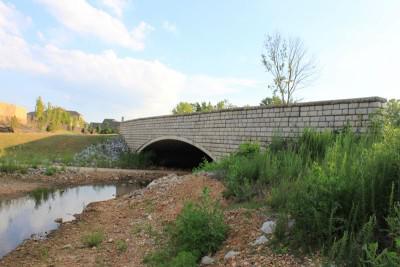
![]()
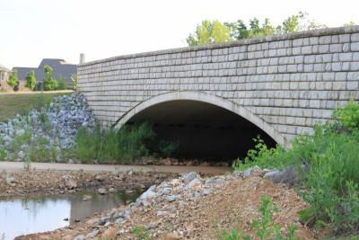
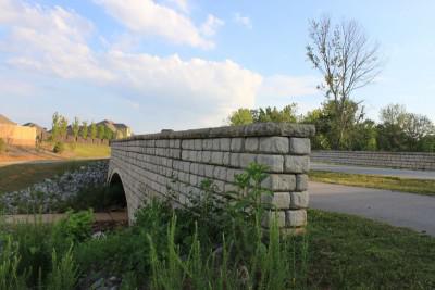
Mill Creek Bridge
Status: Open to traffic and pedestrians
Location: 34.705957,-86.767742
Carries Balch Road over Mill Creek
Design: arch/deck/closed
Design Details: Closed-spandrel arch
Total Length: 49.9 Feet
Span Length: 49.9 Feet
Overview: Closed-spandrel arch bridge over Mill Creek on Balch Road
History: Built 2009
Built: 2009
Location: Madison County
View Bridge Information In Wayback Machine
![]()
254598
Photo taken by Ben Tate in May 2013
254599
Photo taken by Ben Tate in May 2013
254600
Photo taken by Ben Tate in May 2013
254601
Photo taken by Ben Tate in May 2013
254602
Photo taken by Ben Tate in May 2013
254603
Photo taken by Ben Tate in May 2013
254604
Photo taken by Ben Tate in May 2013
254605
Photo taken by Ben Tate in May 2013
254606
Photo taken by Ben Tate in May 2013
254607
Photo taken by Ben Tate in May 2013
254608
Photo taken by Ben Tate in May 2013
254609
Photo taken by Ben Tate in May 2013
254610
Photo taken by Ben Tate in May 2013
![]()
Old Hwy 431 (Flint River Relief Bridge-Southern Unit)
Status: Open to traffic
Location: 34.648281,-86.445349
Carries Old 431 Hwy over Flint River Relief
Design: beam/tee
Design Details: Concrete tee beam
Total Length: 292.0 Feet
Span Length: 26.9 Feet
Overview: Concrete tee beam bridge over Flint River Relief on Old 431 Hwy
History: Built 1925
Built: 1925
Location: Madison County
View Bridge Information In Wayback Machine
![]()
281003
Photo taken by James McCray in March 2014
281004
Photo taken by James McCray in March 2014
281005
Photo taken by James McCray in March 2014
281006
Photo taken by James McCray in March 2014
281007
Photo taken by James McCray in March 2014
281008
Photo taken by James McCray in March 2014
![]()
Old Hwy 431 (Flint River Relief Bridge-Lower Northern Unit)
Status: Open to traffic
Location: 34.653439,-86.449779
Carries Old 431 Hwy over Flint River Relief
Design: slab
Design Details: Slab
Total Length: 89.9 Feet
Span Length: 18.0 Feet
Overview: Slab bridge over Flint River Relief on Old 431 Hwy
History: Built 1928
Built: 1928
Location: Madison County
View Bridge Information In Wayback Machine
![]()
280976
Overview--Looking North
Photo taken by James McCray in March 2014
280977
Looking North
Photo taken by James McCray in March 2014
280978
Looking North
Photo taken by James McCray in March 2014
280979
Deck View--Looking North
Photo taken by James McCray in March 2014
280980
Makeshift Railing Repair
Photo taken by James McCray in March 2014
![]()
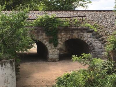
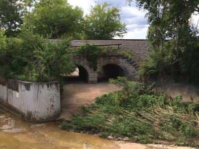
NS - Dallas Branch Stone Arch
Status: Open to traffic
Location: 34.745406,-86.581758
Carries Norfolk Southern Railway over Dallas Branch
Design: arch/deck/stone
Design Details: Stone arch
Total Length: 0.0 Feet
Span Length: 0.0 Feet
Overview: Stone arch bridge over Dallas Branch on Norfolk Southern Railway
History:
Built:
Location: Madison County
View Bridge Information In Wayback Machine
![]()
358771
Photo taken by Ben Tate in July 2016
358772
Photo taken by Ben Tate in July 2016
![]()
Old Dodd Rd Bridge
Status: Closed
Location: 34.618941,-86.664906
Carries Dodd Rd over Pinhook Creek
Design: unknown
Design Details:
Total Length: 0.0 Feet
Span Length: 0.0 Feet
Overview: Bridge over Pinhook Creek on Dodd Rd
History:
Built:
Location: Madison County
View Bridge Information In Wayback Machine
![]()
![]()
NS - Dallas Branch Culvert
Status: Open to traffic
Location: 34.745213,-86.581847
Carries Norfolk Southern Railway over Dallas Branch
Design: culvert/concrete
Design Details: Concrete culvert
Total Length: 0.0 Feet
Span Length: 0.0 Feet
Overview: Concrete culvert over Dallas Branch on Norfolk Southern Railway
History:
Built:
Location: Madison County
View Bridge Information In Wayback Machine
![]()
358773
Photo taken by Ben Tate in July 2016
358774
Photo taken by Ben Tate in July 2016
![]()
HMCR Aldridge Creek Trestle
Status: Open to traffic
Location: 34.585700,-86.552967
Carries HMCR over Aldridge Creek
Design: beam/stringer/wood
Design Details: Timber stringer
Total Length: 0.0 Feet
Span Length: 0.0 Feet
Overview: Timber stringer bridge over Aldridge Creek on HMCR
History:
Built:
Location: Madison County
View Bridge Information In Wayback Machine
![]()
Special Bridge Conditions Legend: R - Former location of relocated bridge. ! - At risk for demolition or destruction. X - Confirmed demolished or collapsed. S - Dismantled and/or in storage. L - Severe loss of historic integrity due to alteration.
![]()
About - Contact
![]()

