Bridges Found: 20
![]()
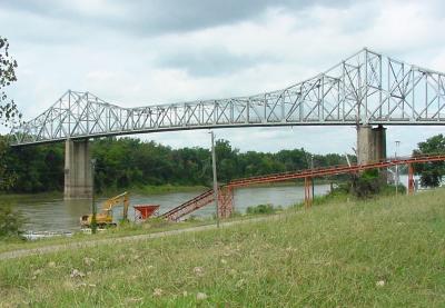
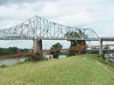
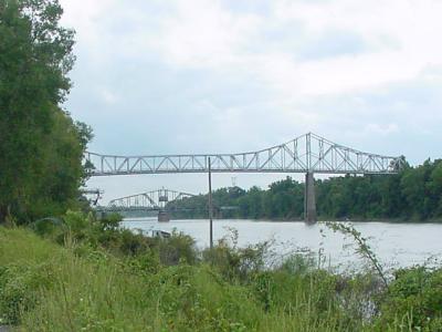
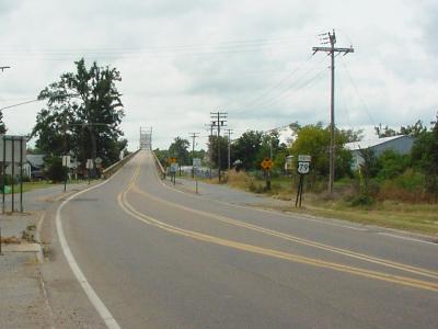
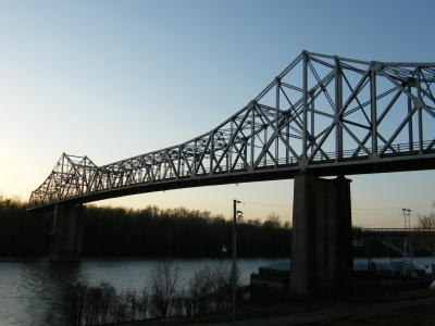
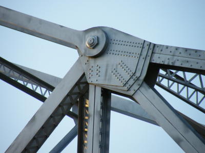
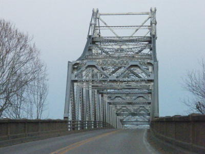
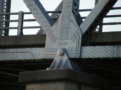
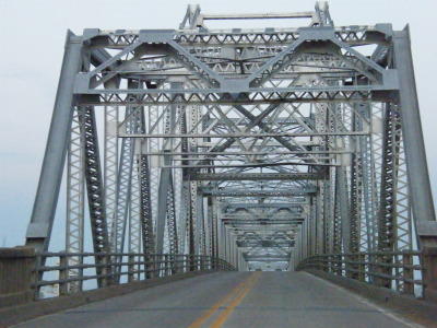
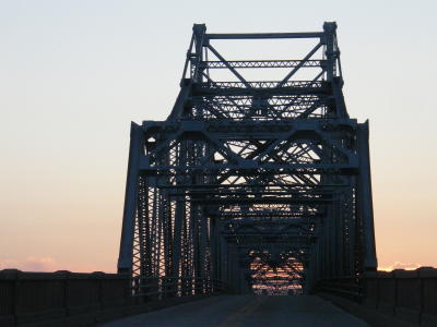
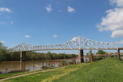
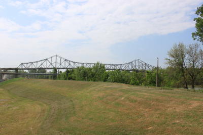
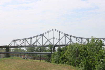
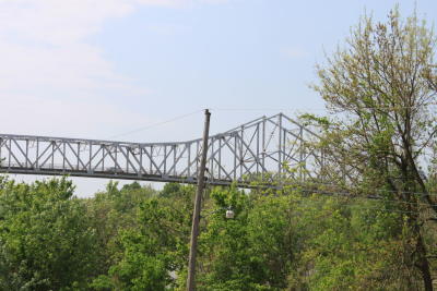
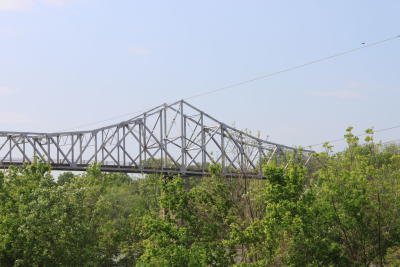
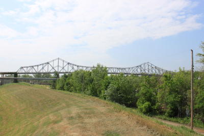
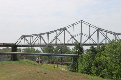
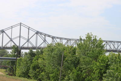
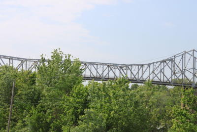
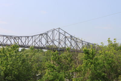
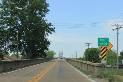
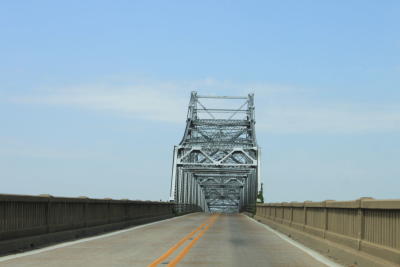
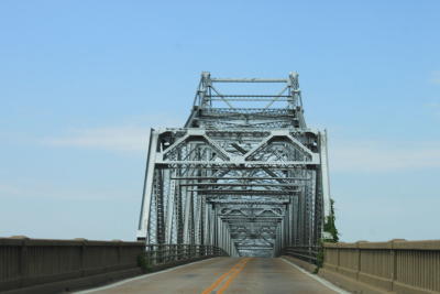
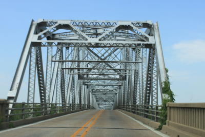
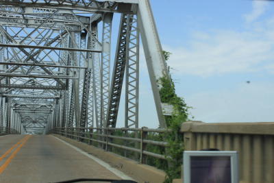
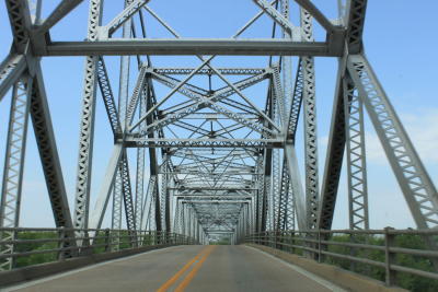
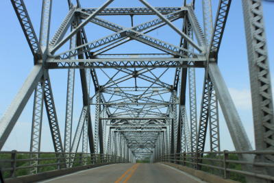
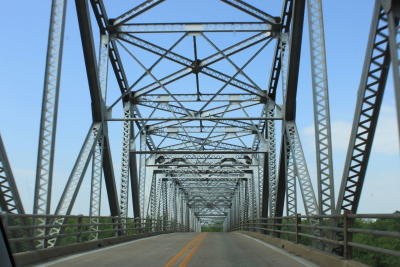
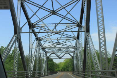
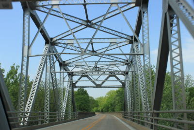
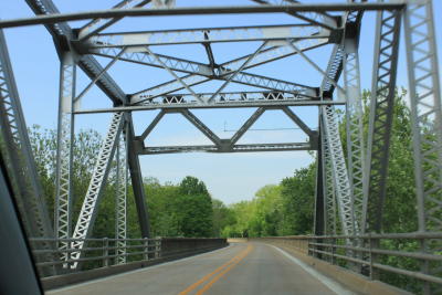
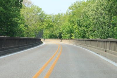
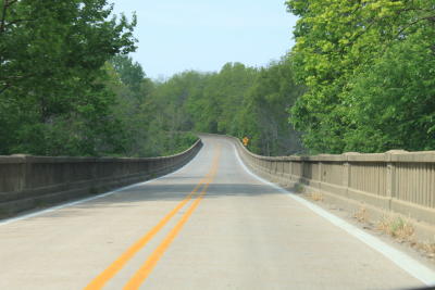
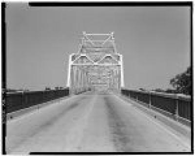
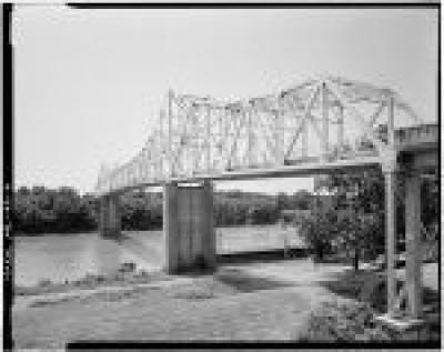
Clarendon Bridge
Status: Demolished November 19, 2019
Location: 34.688786,-91.316206
Carries US 79 over White River
Design: truss/through/warren
Design Details: Cantilevered Warren through truss
Total Length: 4282.0 Feet
Span Length: 399.8 Feet
Overview: Lost Cantilevered through truss bridge over White River on US 79 in Clarendon
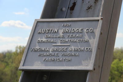
History: Built 1931 by the Austin Bridge Co.
Built: 1931
Location: Monroe County
View Bridge Information In Wayback Machine
![]()
100713
Overview of south side
Photo taken Aug. 2001 and provided by the Arkansas Highway & Transportation Department
100714
Close-up of east end
Photo taken Aug. 2001 and provided by the Arkansas Highway & Transportation Department
100715
North side
Photo taken Aug. 2001 and provided by the Arkansas Highway & Transportation Department
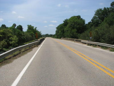
100716
East approach
Photo taken Aug. 2001 and provided by the Arkansas Highway & Transportation Department
202833
Photo taken by Fred Garcia
202834
Photo taken by Fred Garcia
202835
Photo taken by Fred Garcia
202836
Photo taken by Fred Garcia
202837
Photo taken by Fred Garcia
202838
Photo taken by Fred Garcia
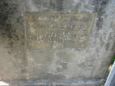
228582
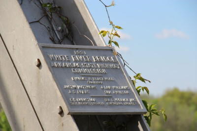
Clarendon Bridge Builder Plaque
Photo taken by C Hanchey in March 2012
228583
Clarendon Bridge Builder Plaque
Photo taken by C Hanchey in March 2012
228584
Clarendon Bridge
Photo taken by C Hanchey in March 2012
460975
Looking South from Clarendon
Photo taken by Ben Tate in April 2012
460976
Looking South from Clarendon
Photo taken by Ben Tate in April 2012
460977
Looking South from Clarendon
Photo taken by Ben Tate in April 2012
460978
Looking South from Clarendon
Photo taken by Ben Tate in April 2012
460979
Looking South from Clarendon
Photo taken by Ben Tate in April 2012
460980
Looking South from Clarendon
Photo taken by Ben Tate in April 2012
460981
Looking South from Clarendon
Photo taken by Ben Tate in April 2012
460982
Looking South from Clarendon
Photo taken by Ben Tate in April 2012
460983
Looking South from Clarendon
Photo taken by Ben Tate in April 2012
460984
Heading west
Photo taken by Ben Tate in April 2012
460985
Heading west
Photo taken by Ben Tate in April 2012
460986
Heading west
Photo taken by Ben Tate in April 2012
460987
Heading west
Photo taken by Ben Tate in April 2012
460988
Heading west
Photo taken by Ben Tate in April 2012
460989
Heading west
Photo taken by Ben Tate in April 2012
460990
Heading west
Photo taken by Ben Tate in April 2012
460991
Heading west
Photo taken by Ben Tate in April 2012
460992
Heading west
Photo taken by Ben Tate in April 2012
460993
Heading west
Photo taken by Ben Tate in April 2012
460994
Heading west
Photo taken by Ben Tate in April 2012
460995
Heading west
Photo taken by Ben Tate in April 2012
460996
Heading west
Photo taken by Ben Tate in April 2012
472278
Clarendon1
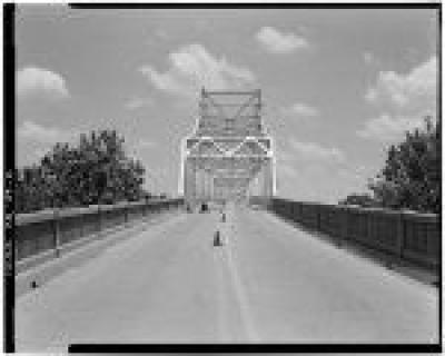
GENERAL VIEW OF DOUBLE ARCH SUSPENSION BRIDGE FROM APPROACH, LOOKING WEST - Clarendon Bridge, Spanning White River at U.S. Highway 79, Clarendon, Monroe County, AR
Historic American Engineering Record
472279
Clarendon2
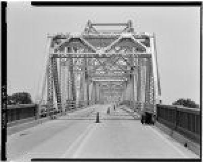
GENERAL VIEW OF BRIDGE FROM APPROACH, LOOKING EAST - Clarendon Bridge, Spanning White River at U.S. Highway 79, Clarendon, Monroe County, AR
Historic American Engineering Record
472280
Clarendon3
LOOKING EAST, VIEW OF BRIDGE WITH 4' RANGE POLE NEAR NORTHWEST INCLINED ENDPOST - Clarendon Bridge, Spanning White River at U.S. Highway 79, Clarendon, Monroe County, AR
Historic American Engineering Record
472281
Clarendon4
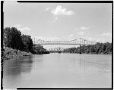
VIEW OF BRIDGE FROM BOAT DOCK, LOOKING SOUTH - Clarendon Bridge, Spanning White River at U.S. Highway 79, Clarendon, Monroe County, AR
Historic American Engineering Record
472282
Clarendon5
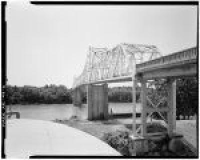
3/4 VIEW OF BRIDGE FROM ATOP FERTILIZER STORAGE TANK, LOOKING NORTHWEST - Clarendon Bridge, Spanning White River at U.S. Highway 79, Clarendon, Monroe County, Ar
Historic American Engineering Record
472283
Clarendon6
3/4 VIEW OF BRIDGE FROM ATOP FERTILIZER STORAGE TANK, LOOKING NORTHWEST - Clarendon Bridge, Spanning White River at U.S. Highway 79, Clarendon, Monroe County, Ar
Historic American Engineering Record
472284
Download
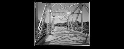
LOOKING EAST, VIEW FROM BRIDGE DECK TOWARD WEST PORTAL SHOWING TRUSSES - Clarendon Bridge, Spanning White River at U.S. Highway 79, Clarendon, Monroe County, AR
Historic American Engineering Record
472285
Clarendon8
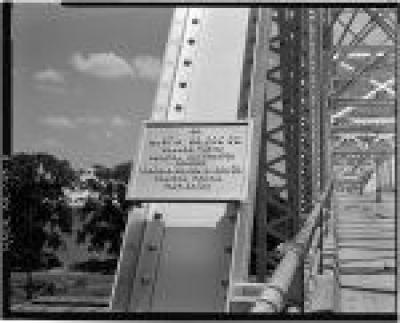
DETAIL VIEW OF BUILDER'S PLATE ON NORTHWEST ENDPOST, LOOKING EAST - Clarendon Bridge, Spanning White River at U.S. Highway 79, Clarendon, Monroe County, AR
Historic American Engineering Record
472286
Clarendon9
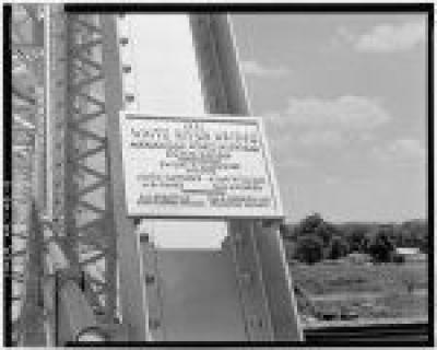
DETAIL VIEW OF DATEPLATE ON SOUTHWEST INCLINED ENDPOST OF PORTAL, LOOKING EAST - Clarendon Bridge, Spanning White River at U.S. Highway 79, Clarendon, Monroe County, AR
Historic American Engineering Record
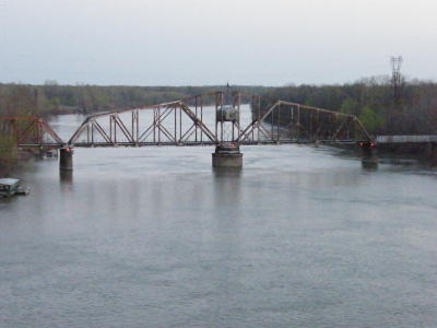
![]()
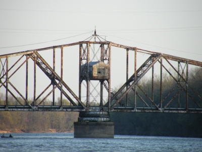
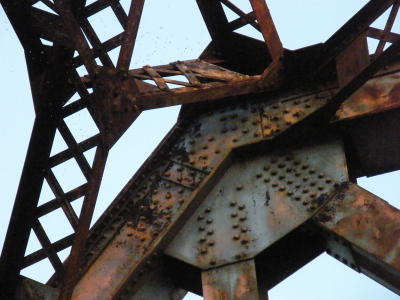
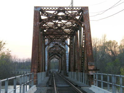
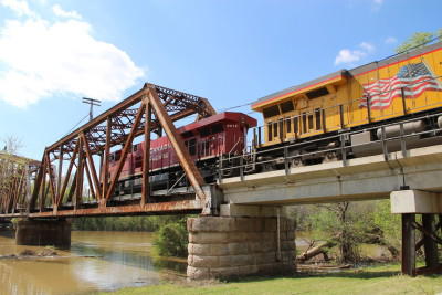
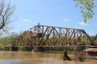
UP - Clarendon Bridge
Status: Open to railroad traffic
Location: 34.685715,-91.316226
Carries Union Pacific Railroad over White River
Design: truss/through
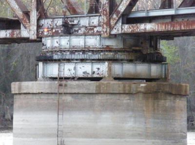
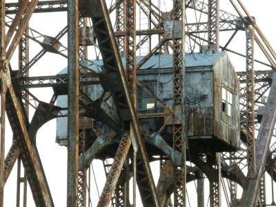
Design Details: Swing Through truss
Total Length: 0.0 Feet
Span Length: 0.0 Feet
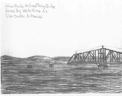
Overview: Swing-draw through truss railroad bridge over White River at Clarendon, south of the highway bridge
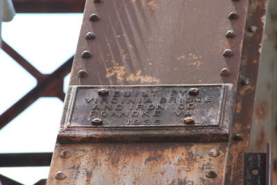
History: Built 1935 by the Virginia Bridge & Iron Co.
Built: 1935
Location: Monroe County
View Bridge Information In Wayback Machine
![]()
202827
Photo taken by Fred Garcia
202828
Photo taken by Fred Garcia
202829
Photo taken by Fred Garcia
202830
Photo taken by Fred Garcia
202831
Photo taken by Fred Garcia
202832
Photo taken by Fred Garcia
228585
Clarendon Railroad Bridge Builder Plaque
Photo taken by C Hanchey in March 2012
228586
Clarendon Railroad Bridge
Photo taken by C Hanchey in March 2012
228587
Clarendon Railroad Bridge
Photo taken by C Hanchey in March 2012
261843
Photo taken by Douglas Butler
![]()
Cache River Relief Bridge
Status: Open to traffic
Location: 34.832840,-91.370000
Carries US 70 over Cache River Relief
Design: beam/tee
Design Details: Concrete tee beam
Total Length: 273.0 Feet
Span Length: 34.1 Feet
Overview: Concrete tee beam bridge over Cache River Relief on US 70
History: Built 1930
Built: 1930
Location: Monroe County
View Bridge Information In Wayback Machine
![]()
![]()
Little Robe Bayou Bridge
Status: Open to traffic
Location: 34.838861,-91.296710
Carries US 70 over Little Robe Bayou
Design: beam/tee
Design Details: Concrete tee beam
Total Length: 307.1 Feet
Span Length: 34.1 Feet
Overview: Concrete tee beam bridge over Little Robe Bayou on US 70
History: Built 1930
Built: 1930
Location: Monroe County
View Bridge Information In Wayback Machine
![]()
![]()
Channey Slough Bridge
Status: Open to traffic
Location: 34.839542,-91.276753
Carries US 70 over Channey Slough
Design: beam/tee
Design Details: Concrete tee beam
Total Length: 103.0 Feet
Span Length: 34.1 Feet
Overview: Concrete tee beam bridge over Channey Slough on US 70
History: Built 1930
Built: 1930
Location: Monroe County
View Bridge Information In Wayback Machine
![]()
![]()
Piney Ditch Bridge
Status: Open to traffic
Location: 34.887125,-91.173333
Carries US 70 over Piney Ditch
Design: beam/tee
Design Details: Concrete tee beam
Total Length: 68.9 Feet
Span Length: 34.1 Feet
Overview: Concrete tee beam bridge over Piney Ditch on US 70
History: Built 1930
Built: 1930
Location: Monroe County
View Bridge Information In Wayback Machine
![]()
![]()
Bayou DeView Bridge
Status: Open to traffic
Location: 34.839108,-91.288376
Carries US 70 over Bayou DeView
Design: beam/tee
Design Details: Concrete tee beam
Total Length: 205.1 Feet
Span Length: 34.1 Feet
Overview: Concrete tee beam bridge over Bayou DeView on US 70
History: Built 1930
Built: 1930
Location: Monroe County
View Bridge Information In Wayback Machine
![]()
![]()
Cache River Relief Bridge
Status: Open to traffic
Location: 34.835000,-91.360000
Carries US 70 over Cache River Relief
Design: beam/tee
Design Details: Concrete tee beam
Total Length: 205.1 Feet
Span Length: 34.1 Feet
Overview: Concrete tee beam bridge over Cache River Relief on US 70
History: Built 1930
Built: 1930
Location: Monroe County
View Bridge Information In Wayback Machine
![]()
![]()
Burnt Br.Creek Bridge
Status: Open to traffic
Location: 34.852090,-91.227010
Carries US 70 over Burnt Br.Creek
Design: beam/tee
Design Details: Concrete tee beam
Total Length: 68.9 Feet
Span Length: 34.1 Feet
Overview: Concrete tee beam bridge over Burnt Br.Creek on US 70
History: Built 1930
Built: 1930
Location: Monroe County
View Bridge Information In Wayback Machine
![]()
![]()
Big Robe Bayou Bridge
Status: Open to traffic
Location: 34.838333,-91.315000
Carries US 70 over Big Robe Bayou
Design: beam/tee
Design Details: Concrete tee beam
Total Length: 714.9 Feet
Span Length: 34.1 Feet
Overview: Concrete tee beam bridge over Big Robe Bayou on US 70
History: Built 1930
Built: 1930
Location: Monroe County
View Bridge Information In Wayback Machine
![]()
![]()
Cache River Relief Bridge
Status: Open to traffic
Location: 34.836667,-91.353333
Carries US 70 over Cache River Relief
Design: beam/tee
Design Details: Concrete tee beam
Total Length: 409.1 Feet
Span Length: 34.1 Feet
Overview: Concrete tee beam bridge over Cache River Relief on US 70
History: Built 1930
Built: 1930
Location: Monroe County
View Bridge Information In Wayback Machine
![]()
![]()
Cross Pond Bridge
Status: Open to traffic
Location: 34.836667,-91.343333
Carries US 70 over Cross Pond
Design: beam/tee
Design Details: Concrete tee beam
Total Length: 511.2 Feet
Span Length: 34.1 Feet
Overview: Concrete tee beam bridge over Cross Pond on US 70
History: Built 1930
Built: 1930
Location: Monroe County
View Bridge Information In Wayback Machine
![]()
![]()
Cache River Relief Bridge
Status: Open to traffic
Location: 34.837910,-91.329828
Carries US 70 over Cache River Relief
Design: beam/tee
Design Details: Concrete tee beam
Total Length: 307.1 Feet
Span Length: 34.1 Feet
Overview: Concrete tee beam bridge over Cache River Relief on US 70
History: Built 1930
Built: 1930
Location: Monroe County
View Bridge Information In Wayback Machine
![]()
![]()
Bayou DeView River Bridge
Status: Open to traffic
Location: 34.839249,-91.285043
Carries US 70 over Bayou DeView River
Design: beam/tee
Design Details: Concrete tee beam
Total Length: 714.9 Feet
Span Length: 34.1 Feet
Overview: Concrete tee beam bridge over Bayou DeView River on US 70
History: Built 1930
Built: 1930
Location: Monroe County
View Bridge Information In Wayback Machine
![]()
![]()
Maple Slough Bridge
Status: Open to traffic
Location: 34.904718,-91.135172
Carries US 70 over Maple Slough
Design: beam/tee
Design Details: Concrete tee beam
Total Length: 68.9 Feet
Span Length: 34.1 Feet
Overview: Concrete tee beam bridge over Maple Slough on US 70
History: Built 1930
Built: 1930
Location: Monroe County
View Bridge Information In Wayback Machine
![]()
![]()
Flat Fork Creek Bridge
Status: Open to traffic
Location: 34.909296,-91.116624
Carries US 70 over Flat Fork Creek
Design: beam/tee
Design Details: Concrete tee beam
Total Length: 138.1 Feet
Span Length: 34.1 Feet
Overview: Concrete tee beam bridge over Flat Fork Creek on US 70
History: Built 1930
Built: 1930
Location: Monroe County
View Bridge Information In Wayback Machine
![]()
231635
East Approach
Photo taken by David Backlin in April 2012
231637
Bridge Plaque
Photo taken by David Backlin in April 2012
231638
West Approach
Photo taken by David Backlin in April 2012
231639
Side View
Photo taken by David Backlin in April 2012
![]()
Chany Slough Bridge
Status: Open to traffic
Location: 34.839648,-91.261667
Carries US 70 over Chany Slough
Design: beam/tee
Design Details: Concrete tee beam
Total Length: 68.9 Feet
Span Length: 34.1 Feet
Overview: Concrete tee beam bridge over Chany Slough on US 70
History: Built 1930
Built: 1930
Location: Monroe County
View Bridge Information In Wayback Machine
![]()
![]()
Old unknown bridge over De View Bayou
Status: Collapsed
Location: 34.839985,-91.284794
Carries Unknown over De View Bayou
Design: unknown
Design Details:
Total Length: 0.0 Feet
Span Length: 0.0 Feet
Overview: Lost Bridge over De View Bayou on Unknown
History:
Built:
Location: Monroe County
View Bridge Information In Wayback Machine
![]()
270286
View to the south
Photo taken by Shane Passmore in October 2012
270287
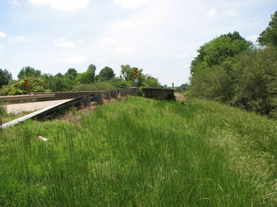
Looking west
Photo taken by Shane Passmore in October 2012
270288
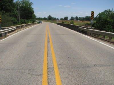
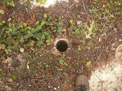
Weird bore hole in the bridge
Photo taken by Shane Passmore in October 2012
270289
Photo taken by Shane Passmore in October 2012
270290
View to the north of the bridge
Photo taken by Shane Passmore in October 2012
270291
Sorry for the quality of this pic; my camera corrupted the original pic, but I was able to scavenge this thumbnail from the EXIF data.
Photo taken by Shane Passmore
270292
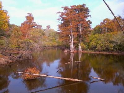
View to the south, showing the Highway 70 bridge over De View Bayou
Photo taken by Shane Passmore in October 2012
![]()
First Old White River Bridge
Status: Replaced by new bridge on new alignment
Location: 34.678509,-91.331892
Carries US 79 over First Old White River
Design: beam/stringer/steel
Design Details: Steel stringer
Total Length: 3742.3 Feet
Span Length: 67.9 Feet
Overview: Steel stringer bridge over First Old White River on US 79
History: Built 1931; Lost 2019
Built: 1931
Location: Monroe County
View Bridge Information In Wayback Machine
![]()
![]()
Bayou Deview River Bridge (old)
Status: Derelict/abandoned
Location: 34.839936,-91.284942
Carries US 70 over Bayou Deview River
Design: beam/stringer/concrete
Design Details: Concrete stringer
Total Length: 0.0 Feet
Span Length: 0.0 Feet
Overview: Abandoned concrete stringer bridge over Bayou Deview River on old US 70
History: Bypassed by new bridge 1930
Built:
Location: Monroe County
View Bridge Information In Wayback Machine
![]()
454425
Looking West
Photo taken by David Backlin in August 2019
454426
Collapsed Deck
Photo taken by David Backlin in August 2019
Special Bridge Conditions Legend: R - Former location of relocated bridge. ! - At risk for demolition or destruction. X - Confirmed demolished or collapsed. S - Dismantled and/or in storage. L - Severe loss of historic integrity due to alteration.
![]()
About - Contact
![]()

