![]()
![]()
Status: Removed but not replaced
Location: 43.688200,-97.180392
Carries 255 Street over East Fork Vermillion River
Design: truss/pony/pratt
Design Details: Pratt pony truss
Total Length: 77.8 Feet
Span Length: 75.1 Feet
Overview: Lost pony truss bridge over East Fork Vermillion River on 255 Street, 1 mi. south and 0.4 mi. east of Montrose in Montrose Township
History: Built 1910
Built: 1910
Location: McCook County
View Bridge Information In Wayback Machine
![]()
147499
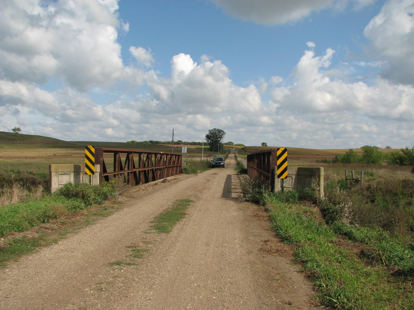
East Approach
Photo taken by David Backlin in September 2009
147500
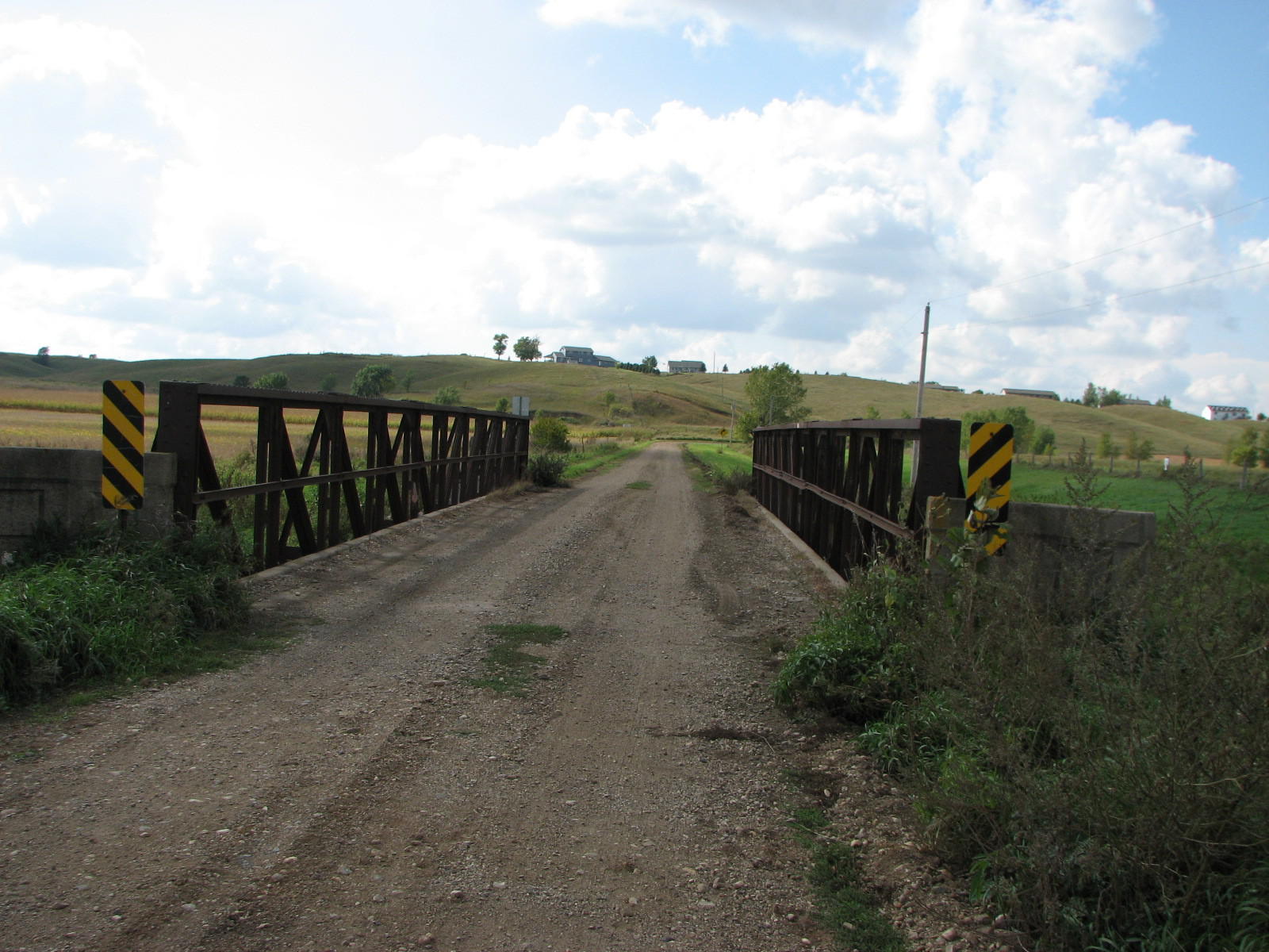
West Approach
Photo taken by David Backlin in September 2009
147501
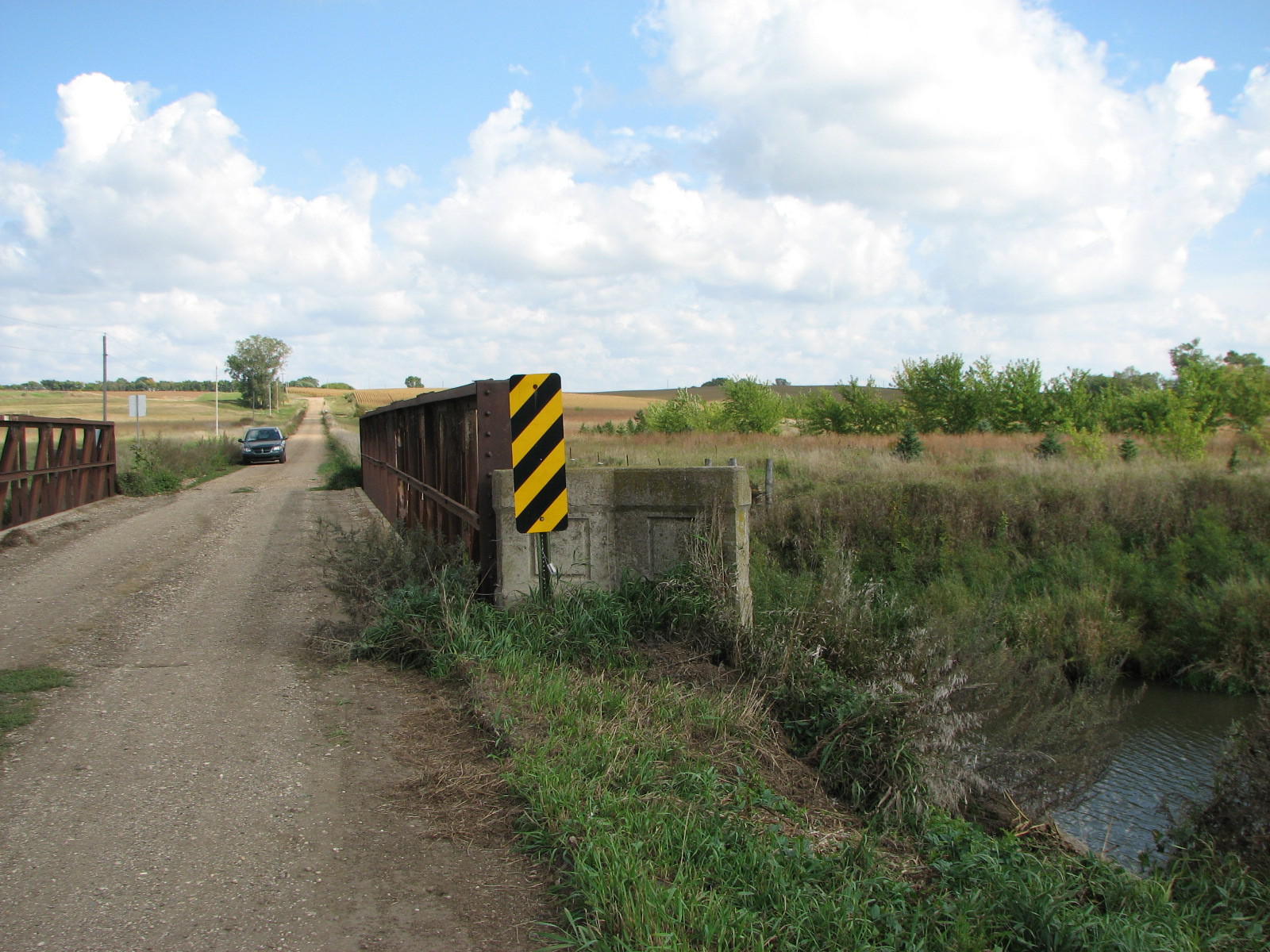
End Cap
Photo taken by David Backlin in September 2009
![]()
Status: Gone; destroyed by flooding
Location: 43.818333,-97.455000
Carries 246th Street over West Fork Vermillion River
Design: truss/pony
Design Details: Pony truss
Total Length: 56.1 Feet
Span Length: 54.1 Feet
Overview: Pony truss bridge over West Fork Vermillion River on 246th Street, 6 mi. north and 3.3 mi. west of Salem
History: Built ca. 1910; rehabilitated 1955
Built: ca. 1910
Location: McCook County
View Bridge Information In Wayback Machine
![]()
![]()
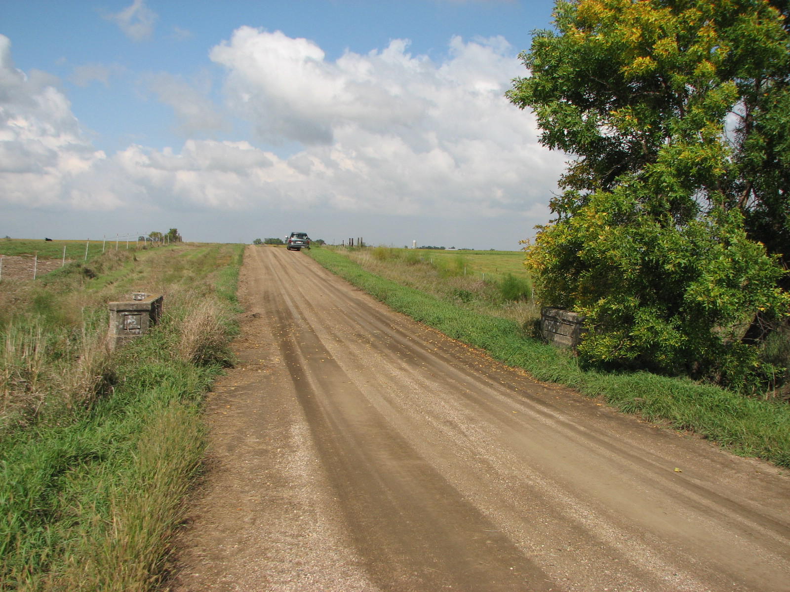
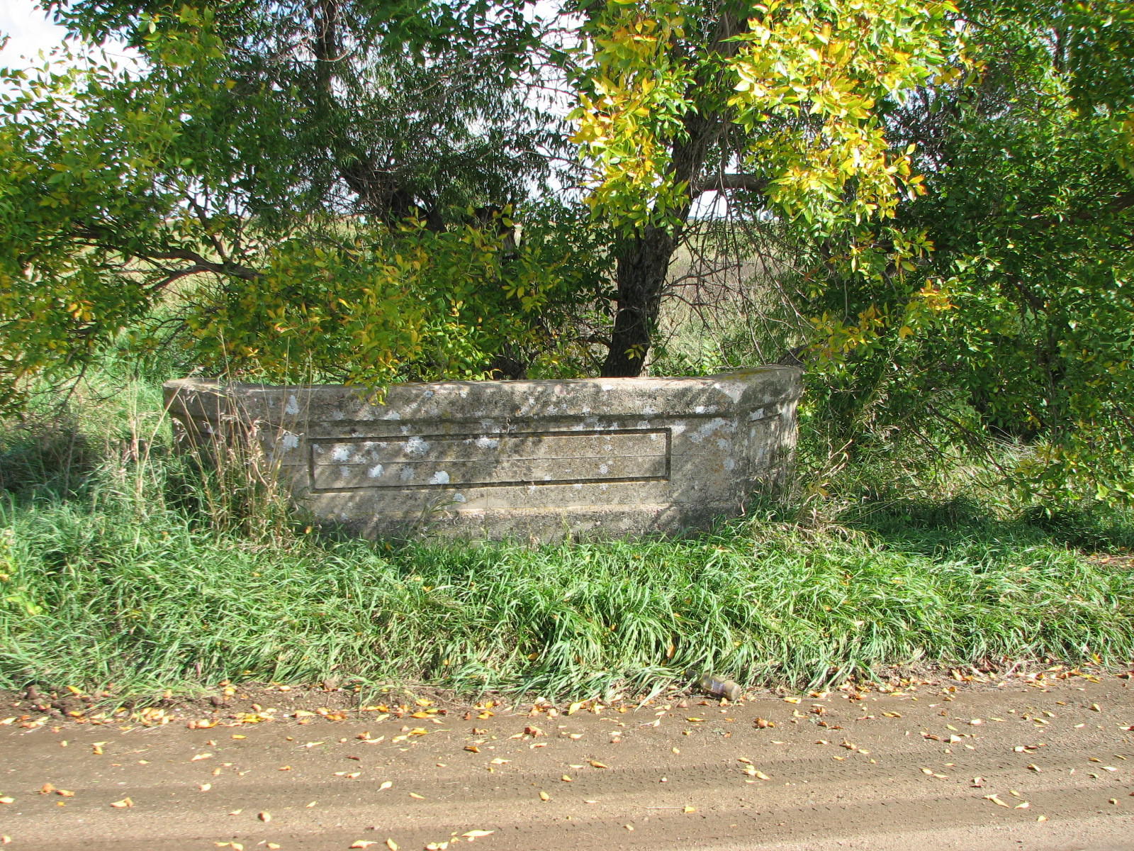
Status: No longer exists
Location: 43.568889,-97.566944
Carries 432nd Avenue over Wolf Creek
Design: truss/pony
Design Details: Pony truss
Total Length: 61.0 Feet
Span Length: 59.1 Feet
Overview: Lost pony truss bridge over Wolf Creek on 432nd Avenue, 3 mi. west and 0.6 mi. north of Bridgewater
History: Built ca. 1910; rehabilitated 1950; replaced 1999
Built: ca. 1910
Location: McCook County
View Bridge Information In Wayback Machine
![]()
![]()
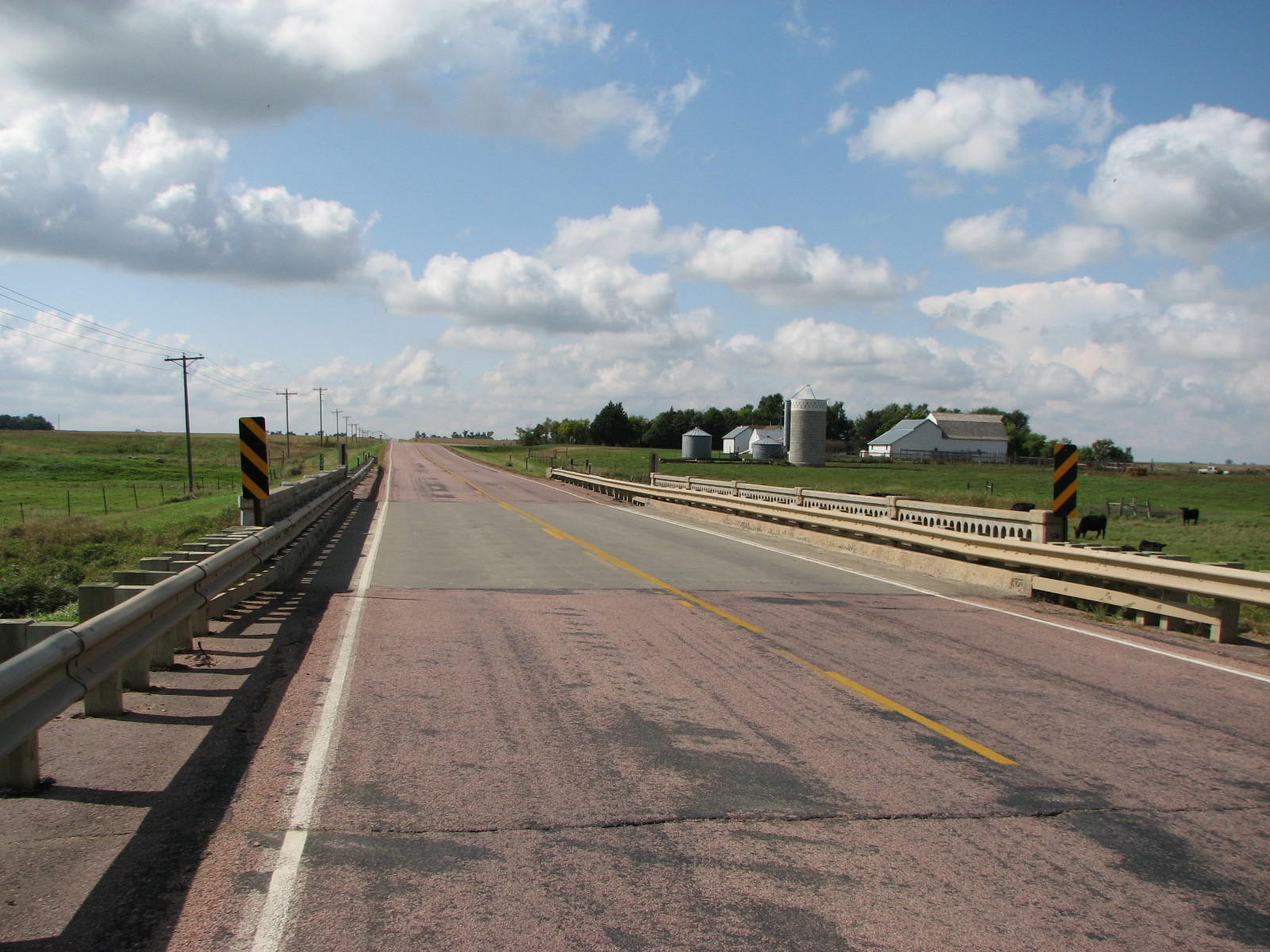
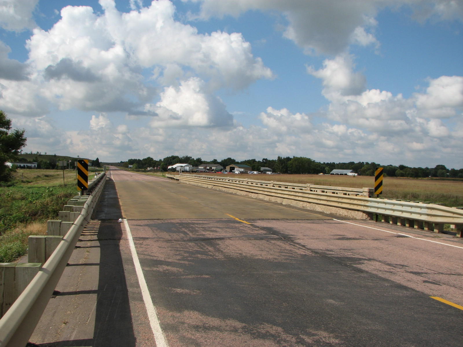
Status: Open to traffic
Location: 43.716667,-97.418333
Carries SD 38 over West Fork Vermillion River
Design: beam/stringer/steel
Design Details:
Total Length: 87.9 Feet
Span Length: 16.1 Feet
Overview: Bridge over West Fork Vermillion River on SD 38
History: Built 1941
Built: 1941
Location: McCook County
View Bridge Information In Wayback Machine
![]()
147596
East Approach
Photo taken by David Backlin in September 2009
147597
West Approach
Photo taken by David Backlin in September 2009
147598
Side View
Photo taken by David Backlin in September 2009
![]()
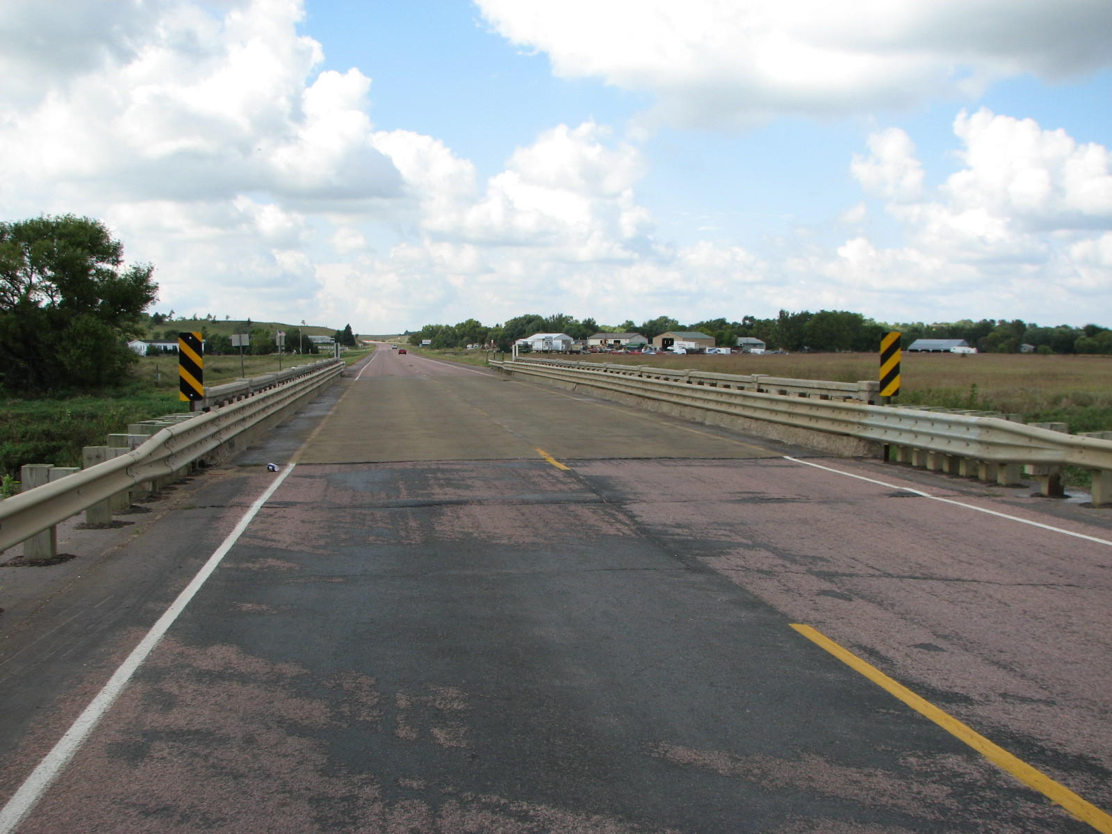
Status: Open to traffic
Location: 43.691667,-97.181667
Carries SD 38 over East Fork Vermillion River
Design: beam/stringer/steel
Design Details:
Total Length: 157.2 Feet
Span Length: 16.1 Feet
Overview: Bridge over East Fork Vermillion River on SD 38
History: Built 1947
Built: 1947
Location: McCook County
View Bridge Information In Wayback Machine
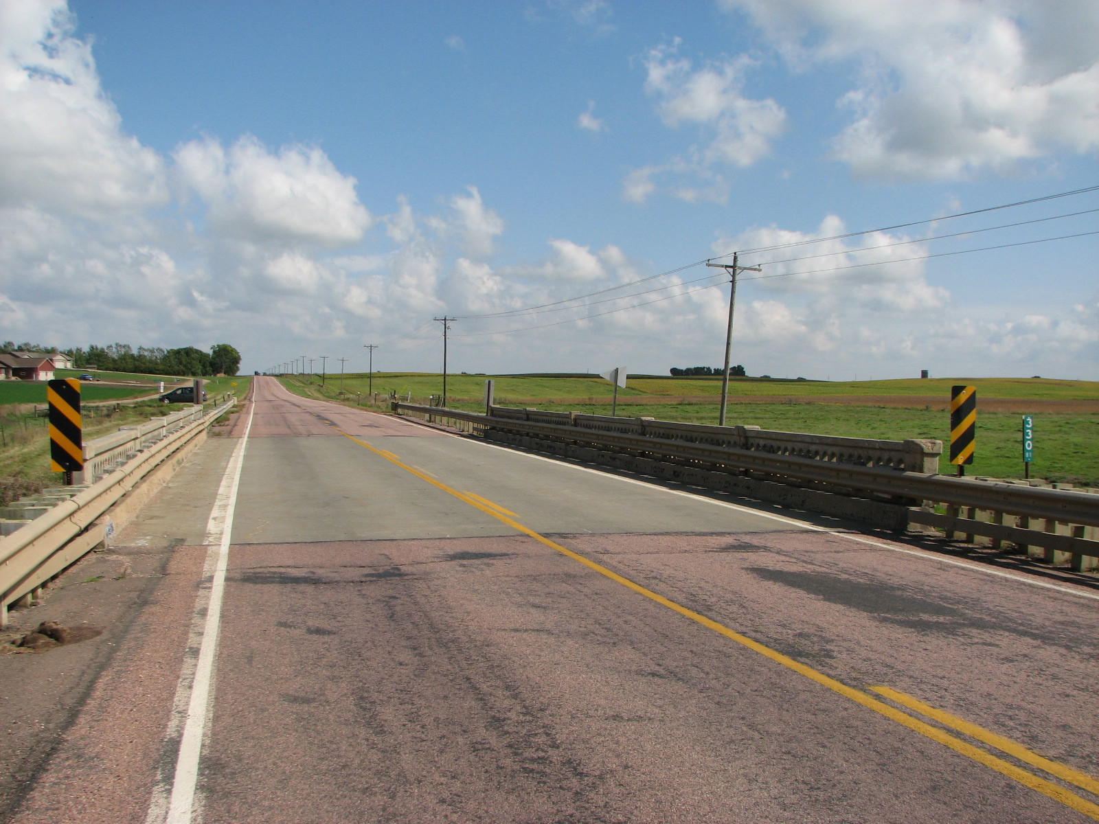
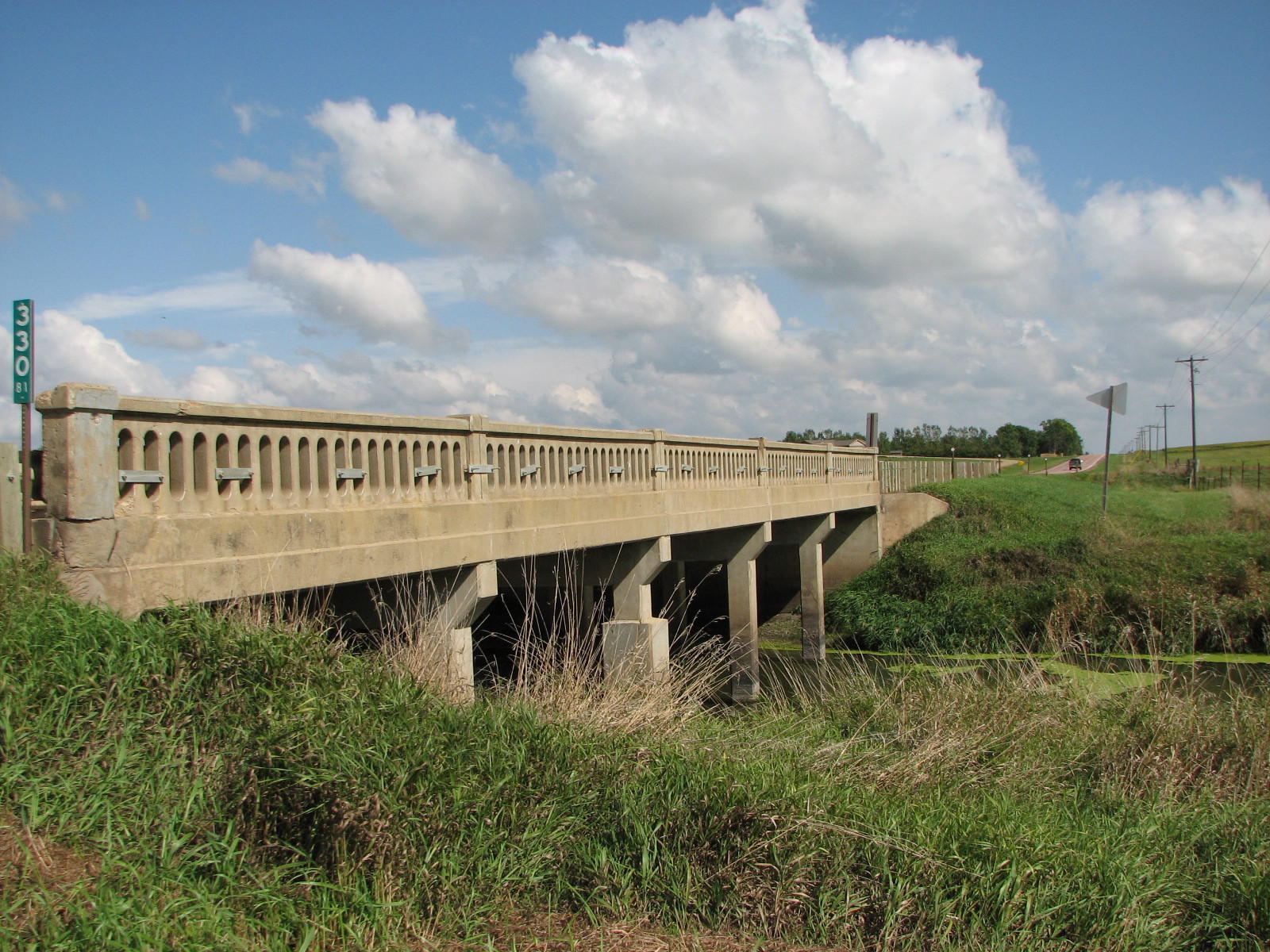
![]()
147495
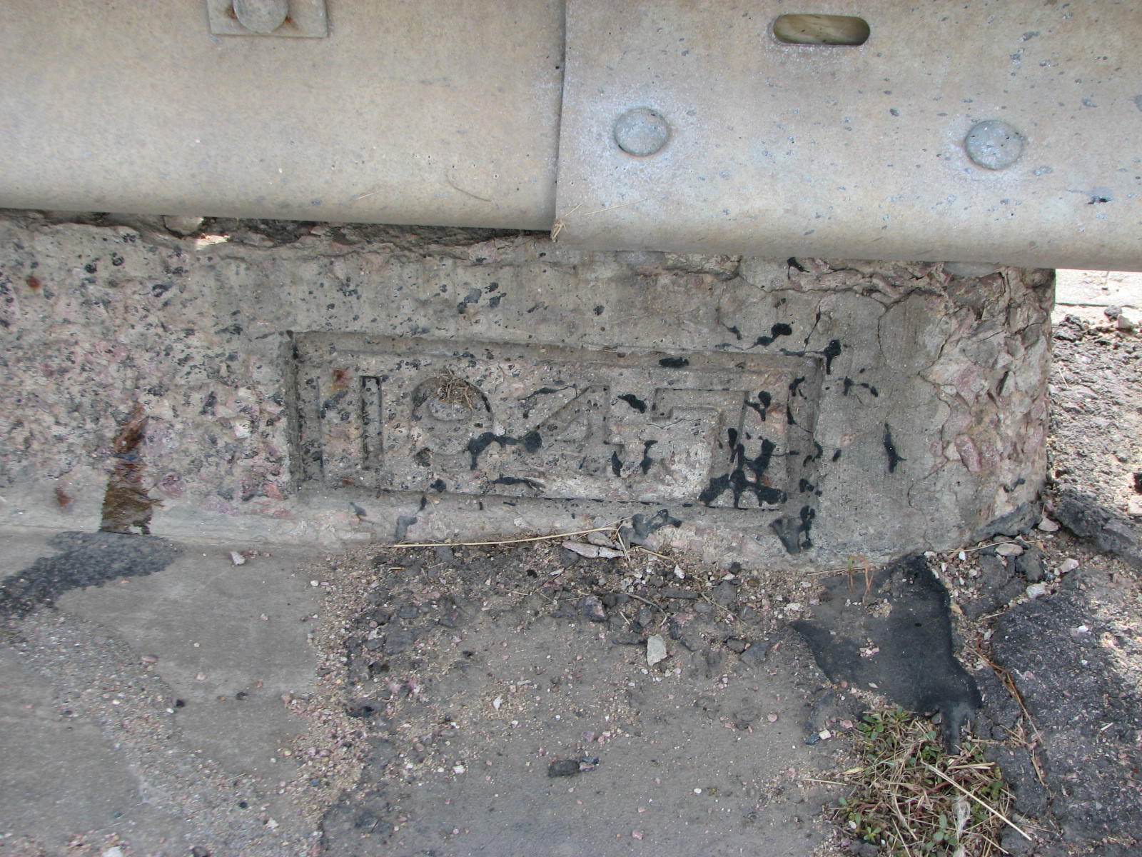
Date Imprint
Photo taken by David Backlin in September 2009
147496
West Approach
Photo taken by David Backlin in September 2009
147497
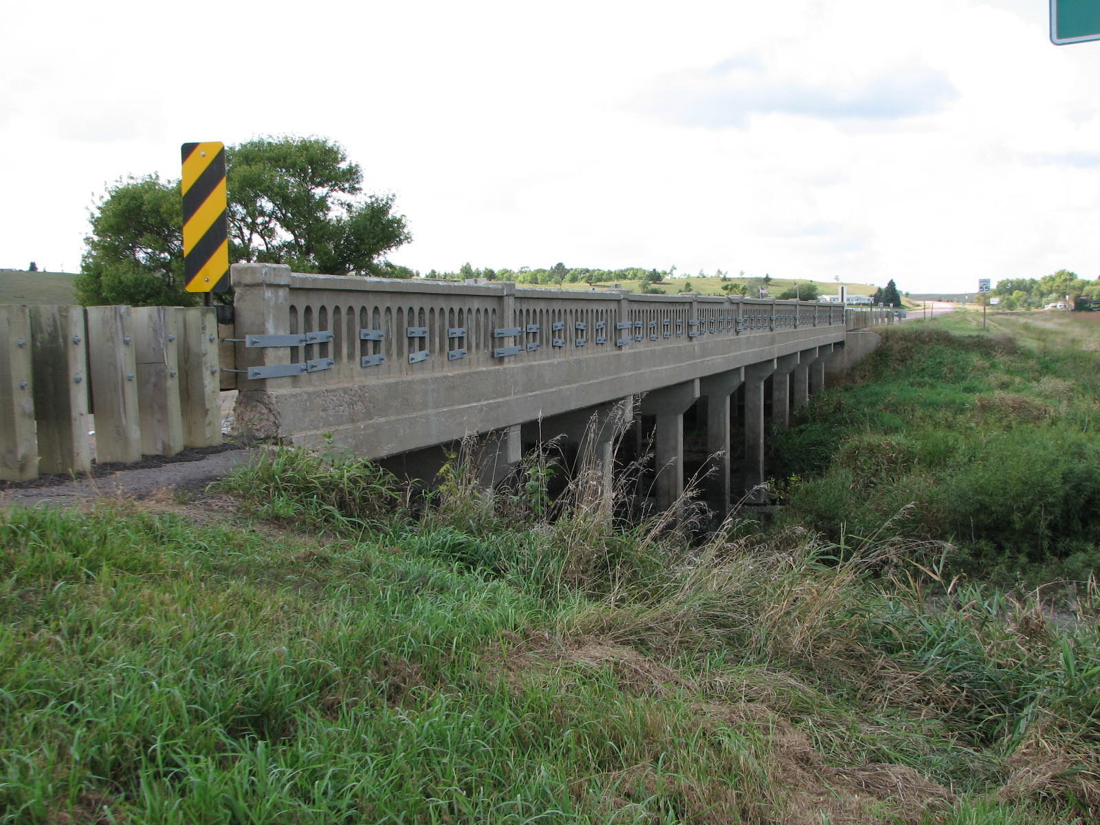
Side View
Photo taken by David Backlin in September 2009
147498
East Approach
Photo taken by David Backlin in September 2009
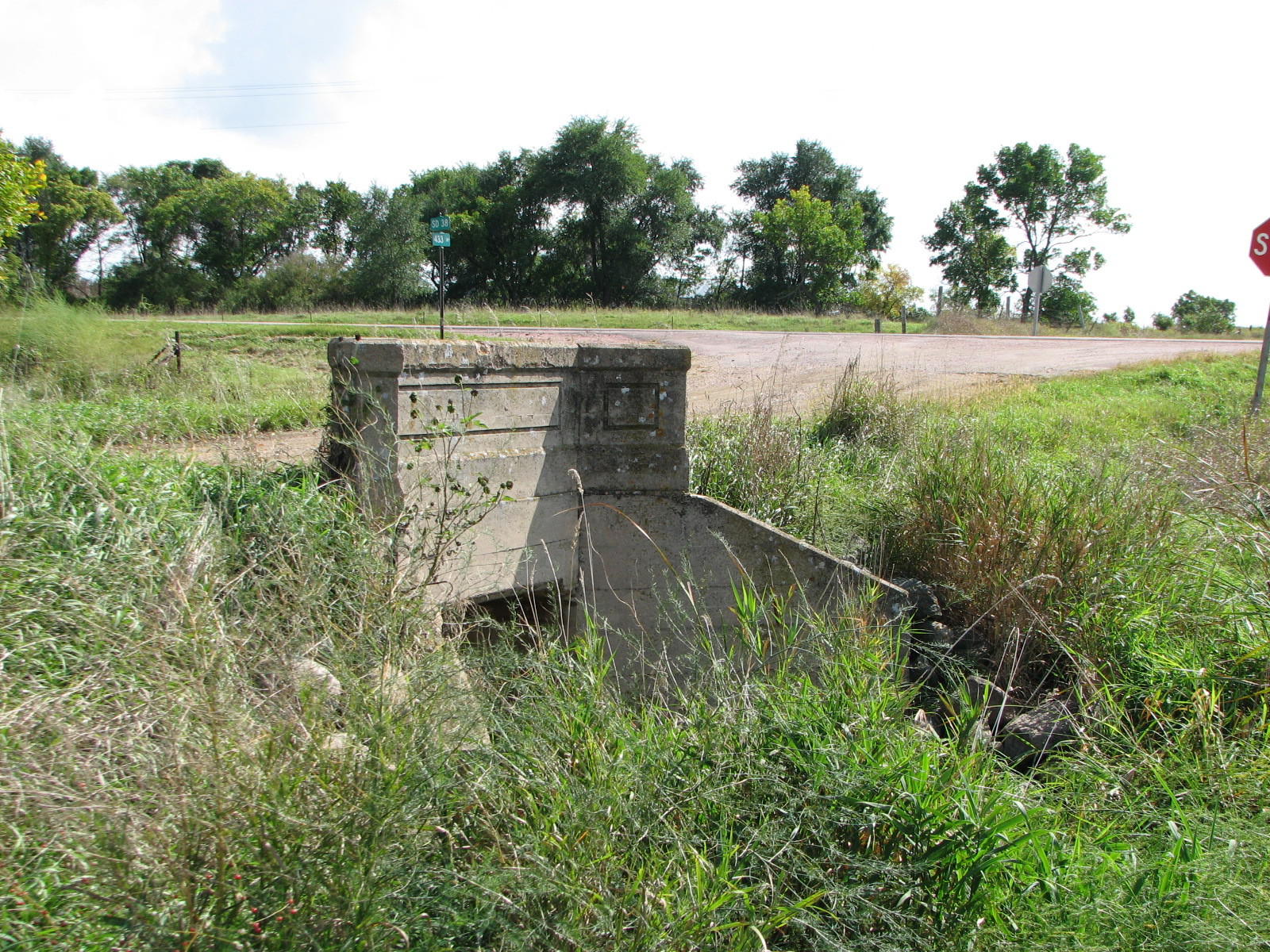
![]()
Status: Open to traffic
Location: 43.717306,-97.549303
Carries 433 Ave over Unnamed creek
Design: culvert/concrete
Design Details: Concrete culvert
Total Length: 0.0 Feet
Span Length: 0.0 Feet
Overview: Concrete culvert bridge over Unnamed creek on 433 Ave
History:
Built:
Location: McCook County
View Bridge Information In Wayback Machine
![]()
146863
South Approach
Photo taken by David Backlin in September 2009
146864
East Side
Photo taken by David Backlin in September 2009
146865
West Side
Photo taken by David Backlin in September 2009
Special Bridge Conditions Legend: R - Former location of relocated bridge. ! - At risk for demolition or destruction. X - Confirmed demolished or collapsed. S - Dismantled and/or in storage. L - Severe loss of historic integrity due to alteration.
![]()

![]()