

View Information About HSR Ratings
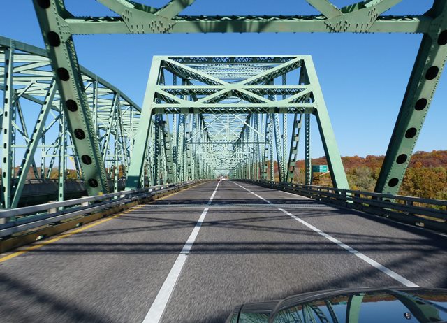
This bridge was a rare example of a riveted continuous through truss. It was particularly uncommon because it had four main spans, but they were configured as two two-span continuous truss bridge components. As a result, if the placement of piers is ignored, the bridge looks like it has two spans, instead of four. In 1991, the bridge was turned into a one-way couplet with the construction of a modern truss bridge next to it. The two bridges made a good comparison since the modern bridge lacks the beauty of the historic bridge with its simple beams that lack riveted elements like v-lacing and lattice.
Missouri once had one of the largest collection of large-span riveted continuous and cantilever truss bridges in the country, not surprising given the Missouri River runs right through the state, and one side of the state is bordered by the Mississippi. Nationwide large historic truss bridges of these types are not common yet are facing a staggering rate of demolition alongside an equally staggering lack of preservation. This is particularly true in Missouri, where preservation of bridges of this size is essentially non-existent with a couple exceptions in the City of St. Louis. The Missouri River has in particular been decimated, and the Daniel Boone Bridge will be one of the last remaining bridges of its kind on the Missouri River when it is demolished.
An excellent opportunity to preserve the Daniel Boone Bridge was dismissed. The Daniel Boone Bridge, which up until demolition serves full Interstate Highway traffic, could certainly have been left standing next to its replacement and been used for non-motorized traffic which cannot use the Interstate Highway itself. Even without rehabilitation, a bridge capable of carrying Interstate traffic could likely carry pedestrians for decades.
Be sure to view the historical documentation linked to at the top of this narrative to see a detailed history of this bridge, as well as original plan sheets for the bridge.
![]()
![]()
![]()
This historic bridge has been demolished. This map is shown for reference purposes only.
Coordinates (Latitude, Longitude):
Search For Additional Bridge Listings:
Bridgehunter.com: View listed bridges within 0.5 miles (0.8 kilometers) of this bridge.
Bridgehunter.com: View listed bridges within 10 miles (16 kilometers) of this bridge.
Additional Maps:
Google Streetview (If Available)
GeoHack (Additional Links and Coordinates)
Apple Maps (Via DuckDuckGo Search)
Apple Maps (Apple devices only)
Android: Open Location In Your Map or GPS App
Flickr Gallery (Find Nearby Photos)
Wikimedia Commons (Find Nearby Photos)
Directions Via Sygic For Android
Directions Via Sygic For iOS and Android Dolphin Browser
USGS National Map (United States Only)
Historical USGS Topo Maps (United States Only)
Historic Aerials (United States Only)
CalTopo Maps (United States Only)

© Copyright 2003-2026, HistoricBridges.org. All Rights Reserved. Disclaimer: HistoricBridges.org is a volunteer group of private citizens. HistoricBridges.org is NOT a government agency, does not represent or work with any governmental agencies, nor is it in any way associated with any government agency or any non-profit organization. While we strive for accuracy in our factual content, HistoricBridges.org offers no guarantee of accuracy. Information is provided "as is" without warranty of any kind, either expressed or implied. Information could include technical inaccuracies or errors of omission. Opinions and commentary are the opinions of the respective HistoricBridges.org member who made them and do not necessarily represent the views of anyone else, including any outside photographers whose images may appear on the page in which the commentary appears. HistoricBridges.org does not bear any responsibility for any consequences resulting from the use of this or any other HistoricBridges.org information. Owners and users of bridges have the responsibility of correctly following all applicable laws, rules, and regulations, regardless of any HistoricBridges.org information.
![]()