

View Information About HSR Ratings
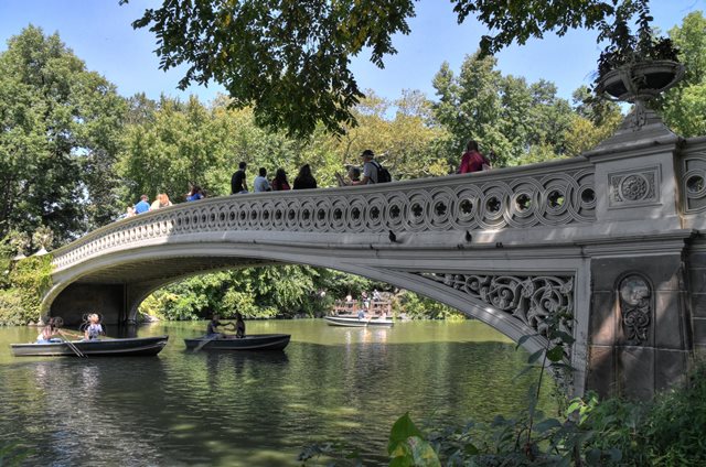
With its long, graceful span, this is the most famous of the nationally significant cast iron arch bridges in Central Park. The arch span is the longest in the park. It also retains unique iron post-tensioned floorbeams that appear to be original to the bridge. Thus this bridge stands out as the most substantial engineering work among the cast iron bridges. The bridge width is 15 feet 8 inches (4.78 m) and the bridge height is 9 feet 6 inches (2.90 m).
The Historic American Engineering Record lists the builder of this bridge as J. B. & W. W. Cornell Iron Works of New York, New York (who built other arches in the park), but other sources (including the former Greensward Foundation) list Janes, Kirtland and Company of New York, New York, the company who cast the dome of the US Capitol. The Greensward Foundation further documents this history and notes that the bridge was being built at the same time as the order for the casting of the US Capitol dome was placed, and that the bridge was "rushed to completion" with some minor changes made to speed the construction. Given this detailed history, HistoricBridges.org is assuming the history from the Greensward Foundation is correct, and that the Historic American Engineering Record is in error.
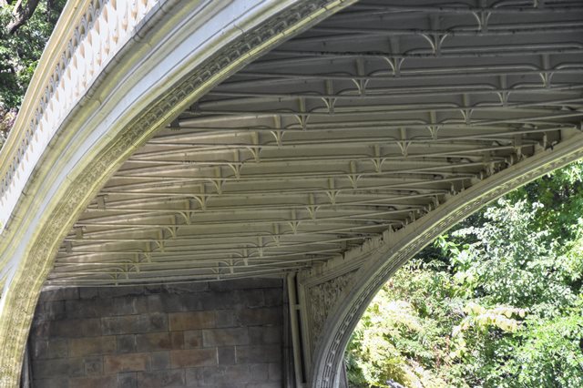
Above: View under bridge showing unusual floorbeams.

Above: Calvert Vaux
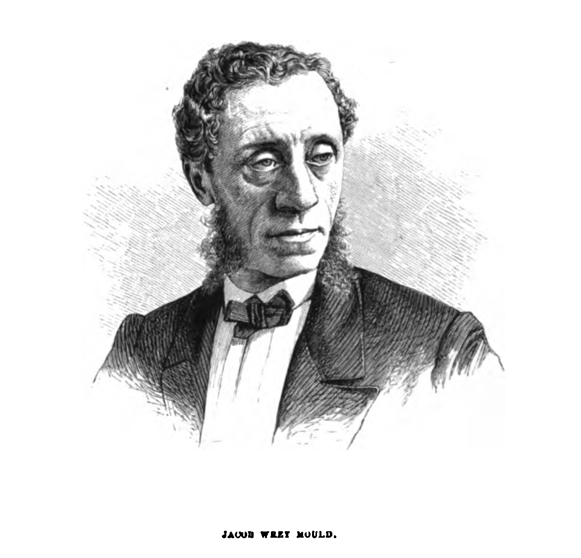
Above: Jacob Wrey Mould
![]()
![]()
![]()
Coordinates (Latitude, Longitude):
Search For Additional Bridge Listings:
Bridgehunter.com: View listed bridges within 0.5 miles (0.8 kilometers) of this bridge.
Bridgehunter.com: View listed bridges within 10 miles (16 kilometers) of this bridge.
Additional Maps:
Google Streetview (If Available)
GeoHack (Additional Links and Coordinates)
Apple Maps (Via DuckDuckGo Search)
Apple Maps (Apple devices only)
Android: Open Location In Your Map or GPS App
Flickr Gallery (Find Nearby Photos)
Wikimedia Commons (Find Nearby Photos)
Directions Via Sygic For Android
Directions Via Sygic For iOS and Android Dolphin Browser
USGS National Map (United States Only)
Historical USGS Topo Maps (United States Only)
Historic Aerials (United States Only)
CalTopo Maps (United States Only)

© Copyright 2003-2025, HistoricBridges.org. All Rights Reserved. Disclaimer: HistoricBridges.org is a volunteer group of private citizens. HistoricBridges.org is NOT a government agency, does not represent or work with any governmental agencies, nor is it in any way associated with any government agency or any non-profit organization. While we strive for accuracy in our factual content, HistoricBridges.org offers no guarantee of accuracy. Information is provided "as is" without warranty of any kind, either expressed or implied. Information could include technical inaccuracies or errors of omission. Opinions and commentary are the opinions of the respective HistoricBridges.org member who made them and do not necessarily represent the views of anyone else, including any outside photographers whose images may appear on the page in which the commentary appears. HistoricBridges.org does not bear any responsibility for any consequences resulting from the use of this or any other HistoricBridges.org information. Owners and users of bridges have the responsibility of correctly following all applicable laws, rules, and regulations, regardless of any HistoricBridges.org information.
![]()