

View Information About HSR Ratings
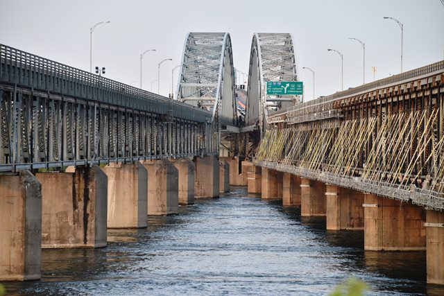
This is a unique pair of bridges with a variety of construction dates associated with the various parts of the bridges. As originally built in 1934, the bridge included the main span over the river, and was a single bridge only. The main span design appears to be an arched through truss design with a suspended deck. The end spans of the main unit follow a Warren truss configuration, while the center arched span follows a Pratt truss configuration. When the St. Lawrence Seaway was constructed, a southern extension of the bridge to pass over the South Shore Canal was required, and was completed in 1958, featuring a Pennsylvania through truss span over the canal. The through truss span over the canal is about 300 feet. Soon after, a second bridge was added over the river as well in 1963. The 1963 bridge carries northbound traffic, and the 1934 bridge carries southbound traffic. The second river bridge is nearly identical to the original bridge, however the newer bridge main span lacks the attractive arched portal bracing design of the original bridge. The Dominion Bridge Company reportedly built the original 1934 bridge.

Above: View of the canal span.
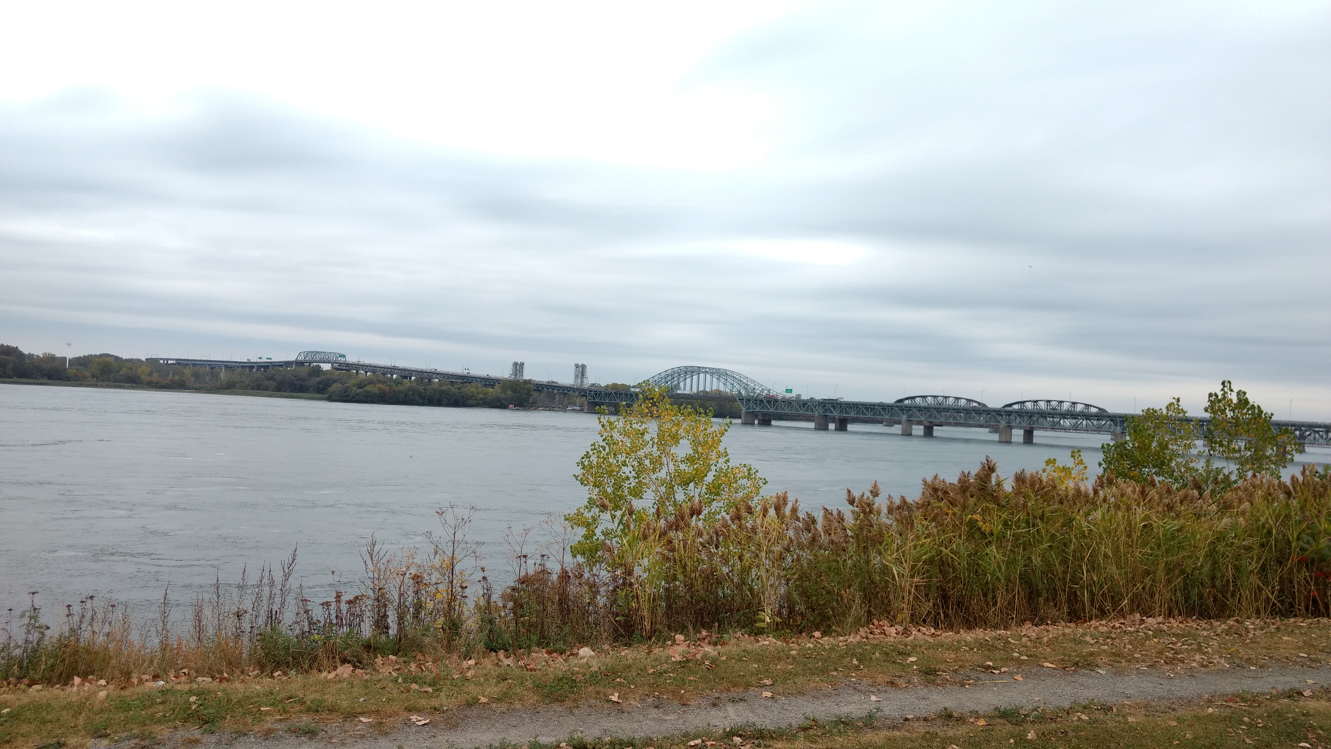
Above: Elevation from northeast quadrant showing the canal bridge to the left and the main bridges to the right. Photo Credit: 郭良

Above: Historical photo showing the original bridge, before the canal construction.

Above: Historical photo showing construction of the second span.

Above: Historical photo showing construction of the second span.
![]()
![]()
![]()

![]()
Coordinates (Latitude, Longitude):
Search For Additional Bridge Listings:
Additional Maps:
Google Streetview (If Available)
GeoHack (Additional Links and Coordinates)
Apple Maps (Via DuckDuckGo Search)
Apple Maps (Apple devices only)
Android: Open Location In Your Map or GPS App
Flickr Gallery (Find Nearby Photos)
Wikimedia Commons (Find Nearby Photos)
Directions Via Sygic For Android
Directions Via Sygic For iOS and Android Dolphin Browser

© Copyright 2003-2026, HistoricBridges.org. All Rights Reserved. Disclaimer: HistoricBridges.org is a volunteer group of private citizens. HistoricBridges.org is NOT a government agency, does not represent or work with any governmental agencies, nor is it in any way associated with any government agency or any non-profit organization. While we strive for accuracy in our factual content, HistoricBridges.org offers no guarantee of accuracy. Information is provided "as is" without warranty of any kind, either expressed or implied. Information could include technical inaccuracies or errors of omission. Opinions and commentary are the opinions of the respective HistoricBridges.org member who made them and do not necessarily represent the views of anyone else, including any outside photographers whose images may appear on the page in which the commentary appears. HistoricBridges.org does not bear any responsibility for any consequences resulting from the use of this or any other HistoricBridges.org information. Owners and users of bridges have the responsibility of correctly following all applicable laws, rules, and regulations, regardless of any HistoricBridges.org information.
![]()