
Google Map: (More Links and Maps Below)
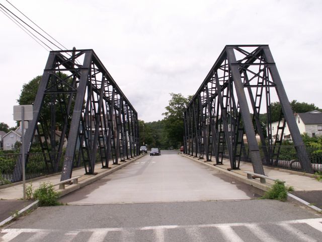
Location: 11th Street Over Power Canal In Turners Falls: Franklin County, Massachusetts, United States
Latitude: 42.602430 Longitude: -72.564490 ( 42.602430,-72.564490 )
View Bridge Location In:
Bridgehunter.com: View listed bridges within a half mile of this bridge.
Bridgehunter.com: View listed bridges within 10 miles of this bridge.
Android: Open Location In Your Map or GPS App
![]()
| Back |
| Home |
| Top |

![]()