
Google Map: (More Links and Maps Below)
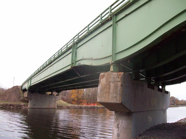
Location: Brockport - Holley Road (NY-31) Over Erie Canal (New York State Barge Canal) In Rural: Monroe County, New York, United States
Latitude: 43.221060 Longitude: -77.995630 ( 43.221060,-77.995630 )
This historic bridge has been demolished. This map is shown for reference purposes only.
View Bridge Location In:
Bridgehunter.com: View listed bridges within a half mile of this bridge.
Bridgehunter.com: View listed bridges within 10 miles of this bridge.
Android: Open Location In Your Map or GPS App
![]()
| Back |
| Home |
| Top |

![]()