
Google Map: (More Links and Maps Below)
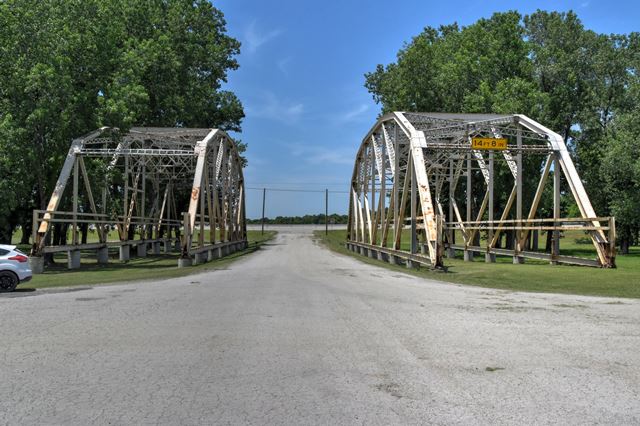
Location: Formerly OK-66 Westbound (Historic US-66) Over Formerly Bird Creek In Catoosa: Rogers County, Oklahoma, United States
Latitude: 36.211690 Longitude: -95.722340 ( 36.211690,-95.722340 )
This map shows the location of the spans open to the public. Additional spans are on private property at 36.20711 -95.72684 but are visible from public roads.
View Bridge Location In:
Bridgehunter.com: View listed bridges within a half mile of this bridge.
Bridgehunter.com: View listed bridges within 10 miles of this bridge.
Android: Open Location In Your Map or GPS App
![]()
| Back |
| Home |
| Top |

![]()