
Google Map: (More Links and Maps Below)
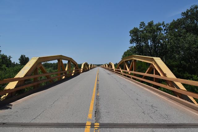
Location: Historic US-66 (US-281, OK-8) Over South Canadian River In Rural (Near Bridgeport): Caddo County, Oklahoma and Canadian County, Oklahoma, United States
Latitude: 35.543460 Longitude: -98.318070 ( 35.543460,-98.318070 )
View Bridge Location In:
Bridgehunter.com: View listed bridges within a half mile of this bridge.
Bridgehunter.com: View listed bridges within 10 miles of this bridge.
Android: Open Location In Your Map or GPS App
![]()
| Back |
| Home |
| Top |

![]()