HistoricBridges.org Menu: HistoricBridges.org Menu:


HistoricBridges.org: Bridge Browser

Map: Victoria Avenue Bridge

Google Map: (More Links and Maps Below)

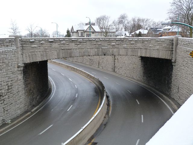
Location: Victoria Avenue Over KH-420 (Roberts Street) In Niagara Falls: Niagara Region, Ontario, Canada
Latitude: 43.096380 Longitude: -79.072860 ( 43.096380,-79.072860 )

View Bridge Location In:


Android: Open Location In Your Map or GPS App

Google Maps

Google Streetview (If Available)

Bing Maps

ACME Mapper

OpenStreetMap

Google Earth (KML File)

Flickr Gallery (Find Nearby Photos)

Directions Via Sygic For Android

Directions Via Sygic For iOS and Android Dolphin Browser

MapQuest

HERE We Go Maps

ACME Mapper

Historical USGS Topo Maps (United States Only)

CalTopo Maps (United States Only)

Ordnance Survey Maps (UK Only)

GeoHack Map Links (Enter 43.096380 For Latitude and -79.072860 For Longitude)

Victoria Avenue Bridge

Divider

Back
Home
Top

Divider

About - Contact

Divider