HistoricBridges.org Menu: HistoricBridges.org Menu:


HistoricBridges.org: Bridge Browser

Map: Simcoe Street Bridge

Google Map: (More Links and Maps Below)

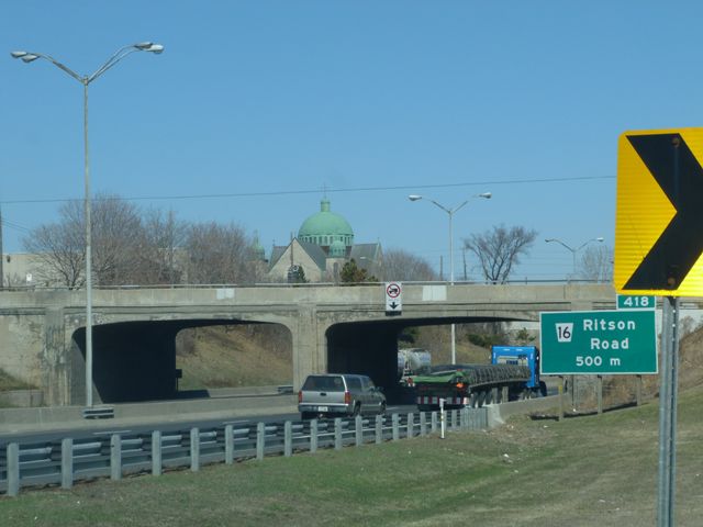
Location: Simcoe Street (CR-2) Over KH-401 (King's Highway 401, MacDonald-Cartier Freeway) In Oshawa: Durham Region, Ontario, Canada
Latitude: 43.881480 Longitude: -78.856300 ( 43.881480,-78.856300 )

This historic bridge has been demolished. This map is shown for reference purposes only.

View Bridge Location In:


Android: Open Location In Your Map or GPS App

Google Maps

Google Streetview (If Available)

Bing Maps

ACME Mapper

OpenStreetMap

Google Earth (KML File)

Flickr Gallery (Find Nearby Photos)

Directions Via Sygic For Android

Directions Via Sygic For iOS and Android Dolphin Browser

MapQuest

HERE We Go Maps

ACME Mapper

Historical USGS Topo Maps (United States Only)

CalTopo Maps (United States Only)

Ordnance Survey Maps (UK Only)

GeoHack Map Links (Enter 43.881480 For Latitude and -78.856300 For Longitude)

Simcoe Street Bridge

Divider

Back
Home
Top

Divider

About - Contact

Divider