
Uncredited photos on this page taken by: Nathan Holth. Unless stated in a caption, all photos are Copyright with All Rights Reserved. Learn about reuse of our photos.
![]()

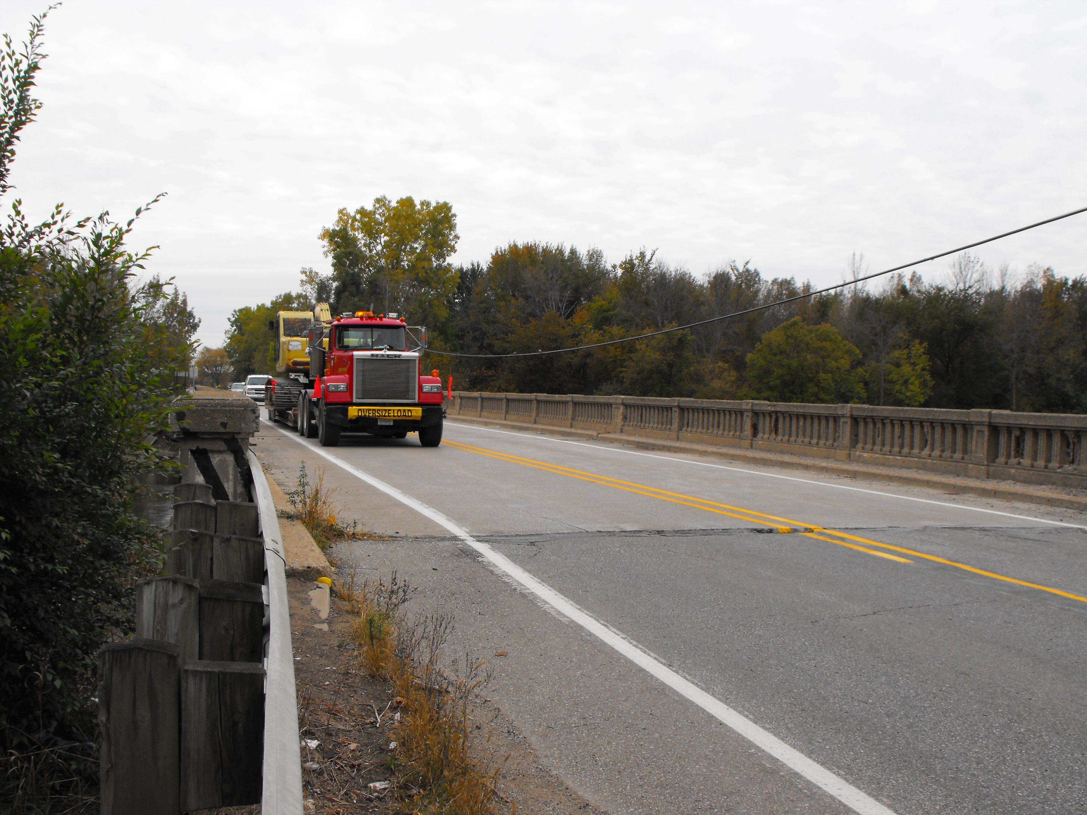
Diagram and photo showing functional sufficiency of the historic bridge.
![]()


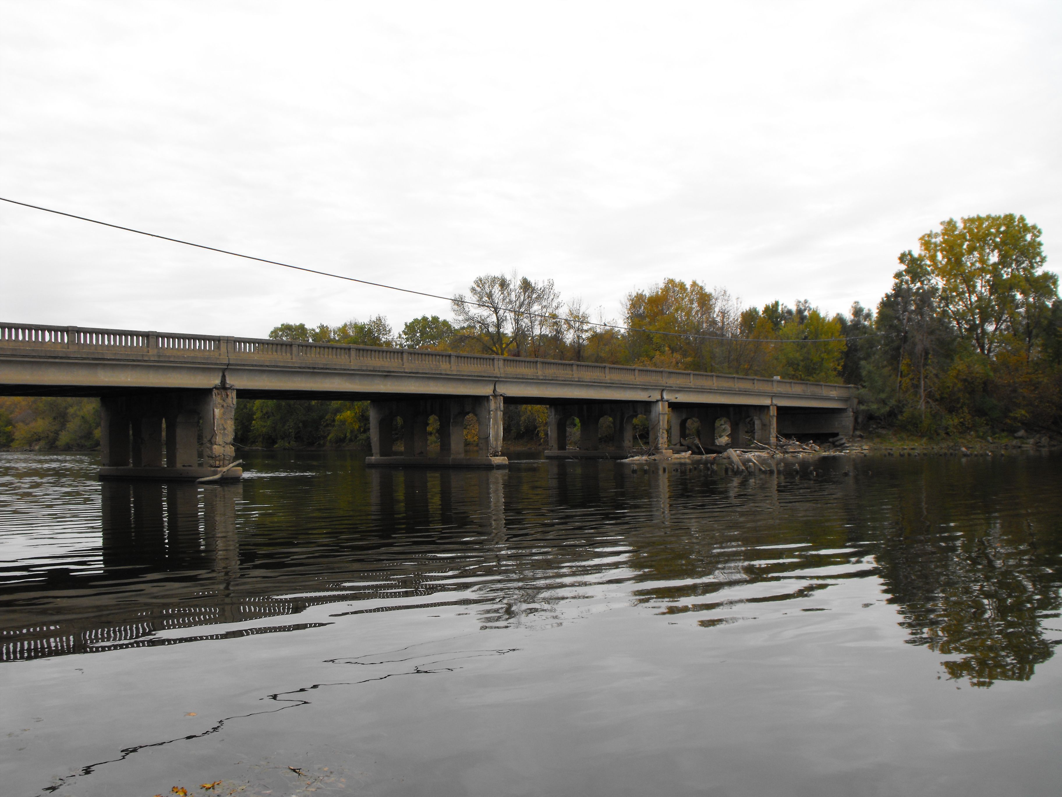
Elevation from northwest quadrant.
![]()
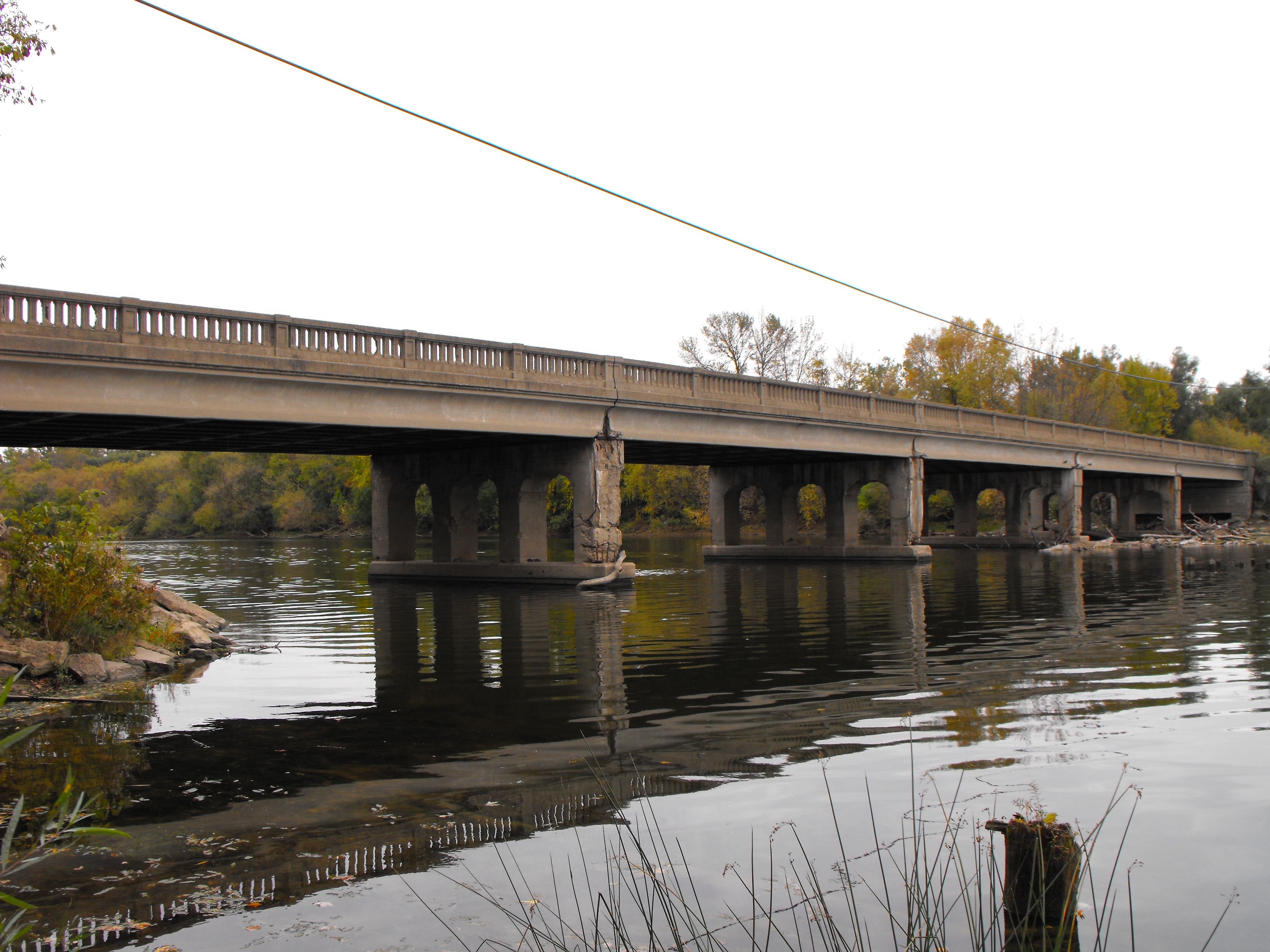


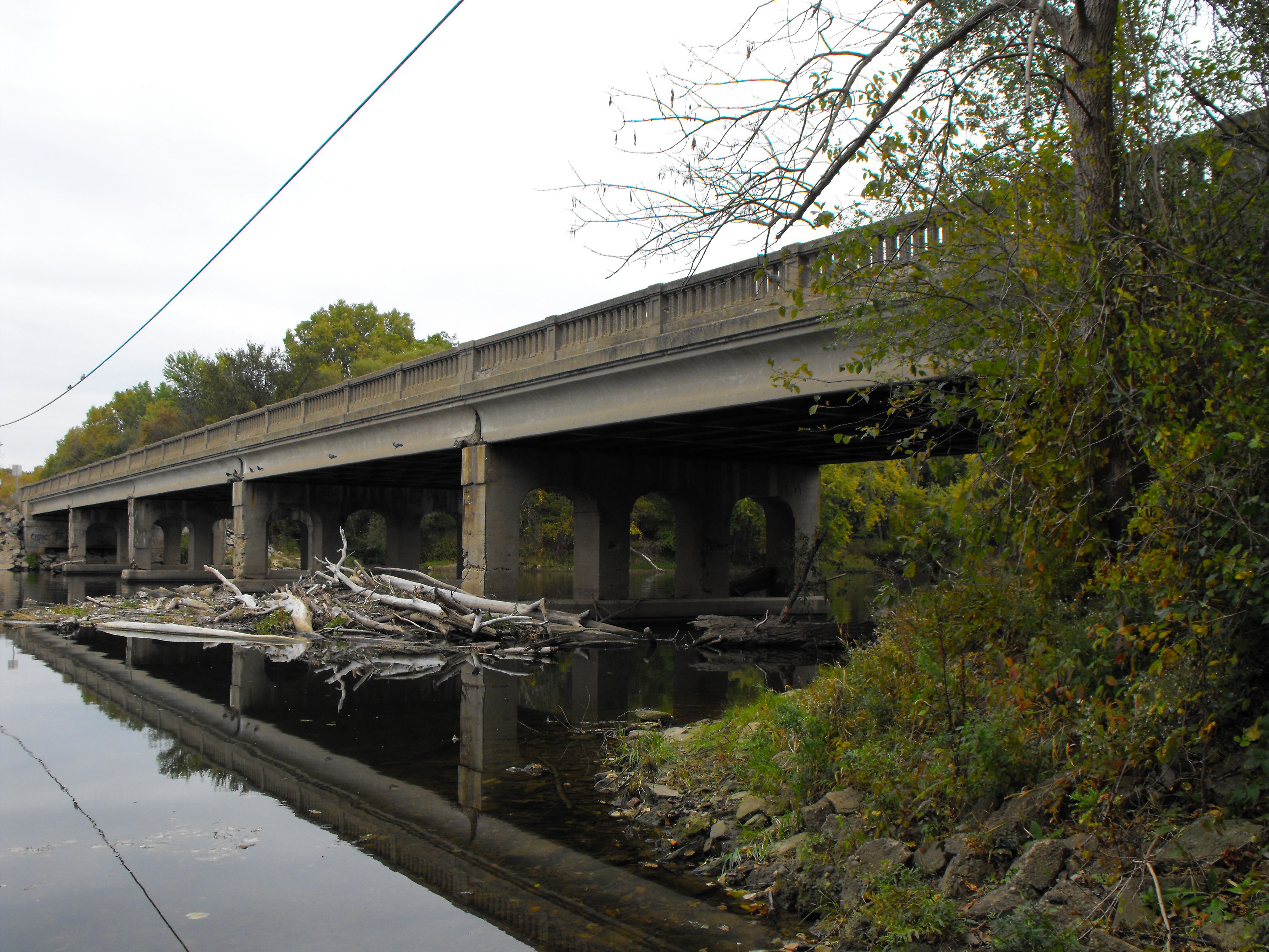
View beside bridge from northwest quadrant.
![]()


Views beside bridge from northeast quadrant.
![]()


Views beside bridge from southwest quadrant.
![]()


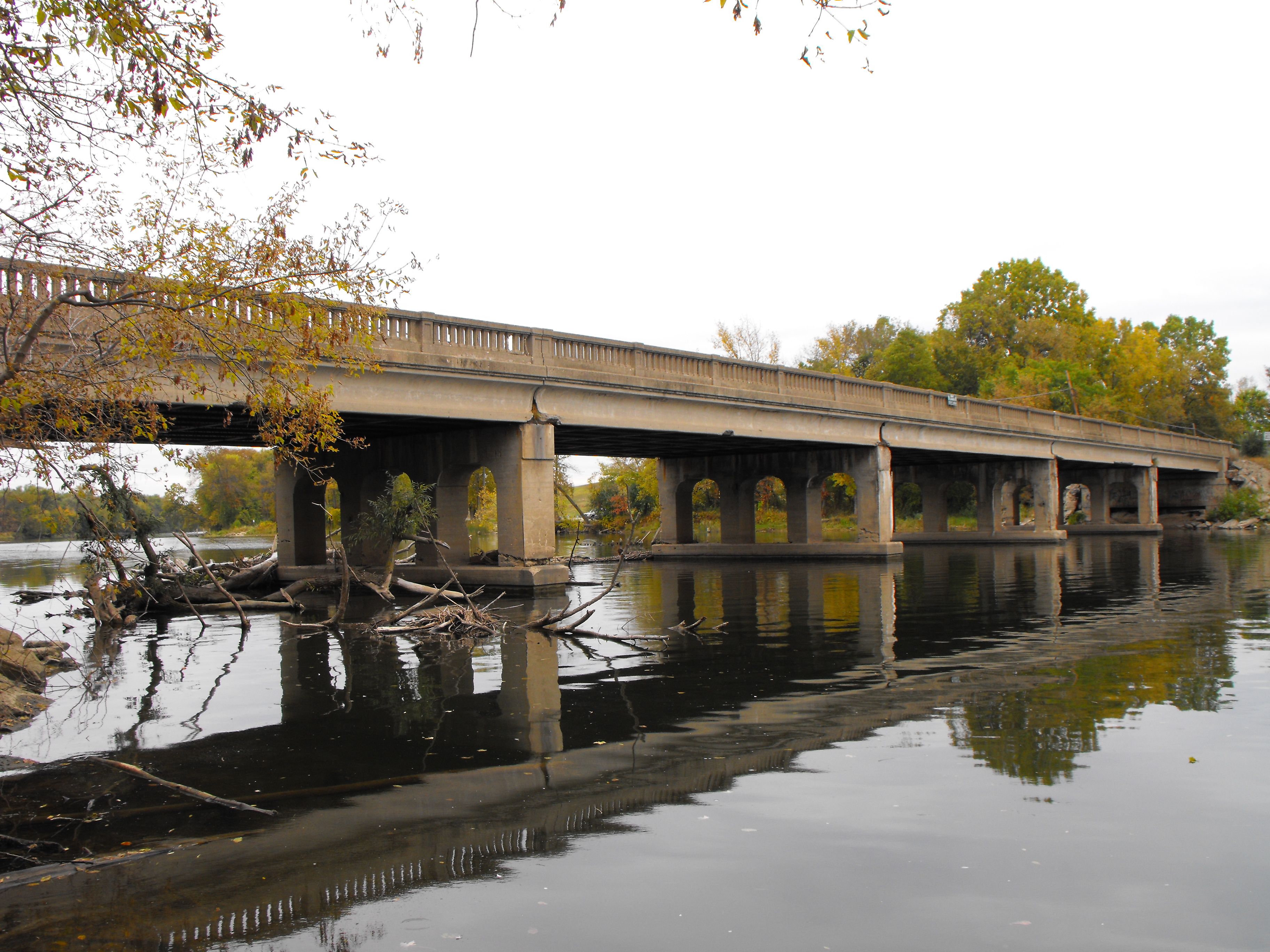
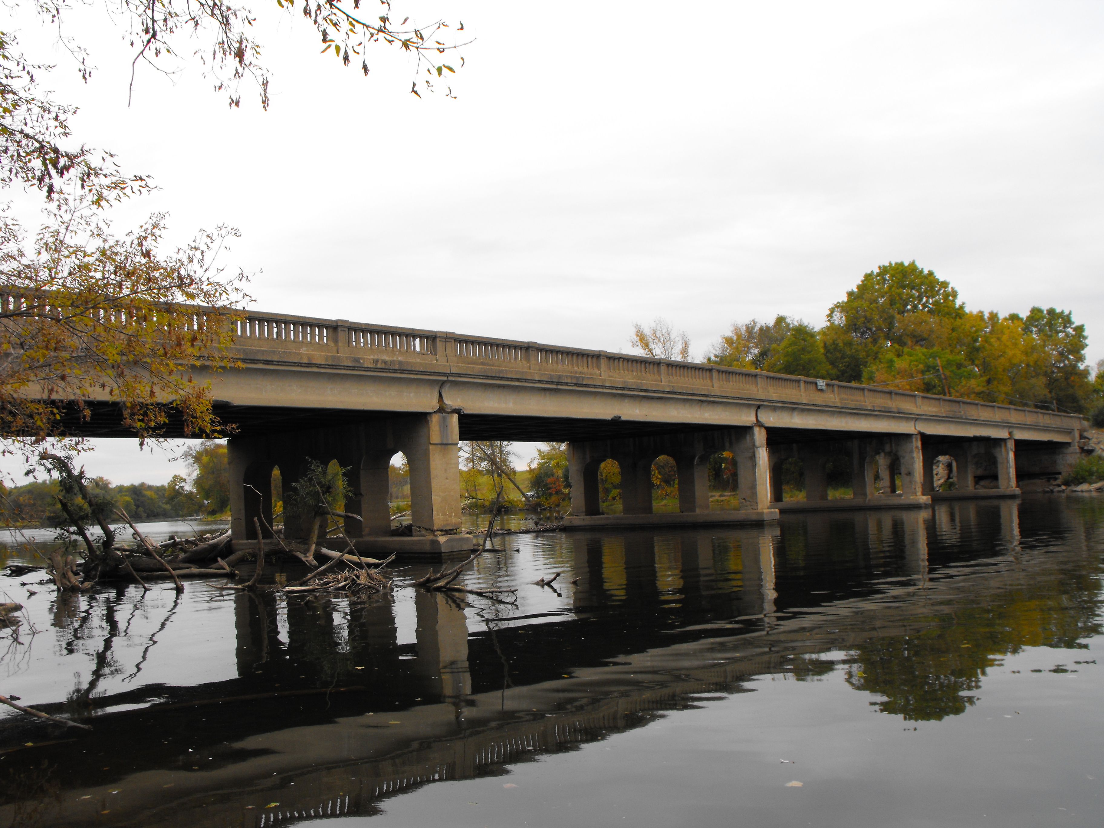
Views beside bridge from southeast quadrant.
![]()

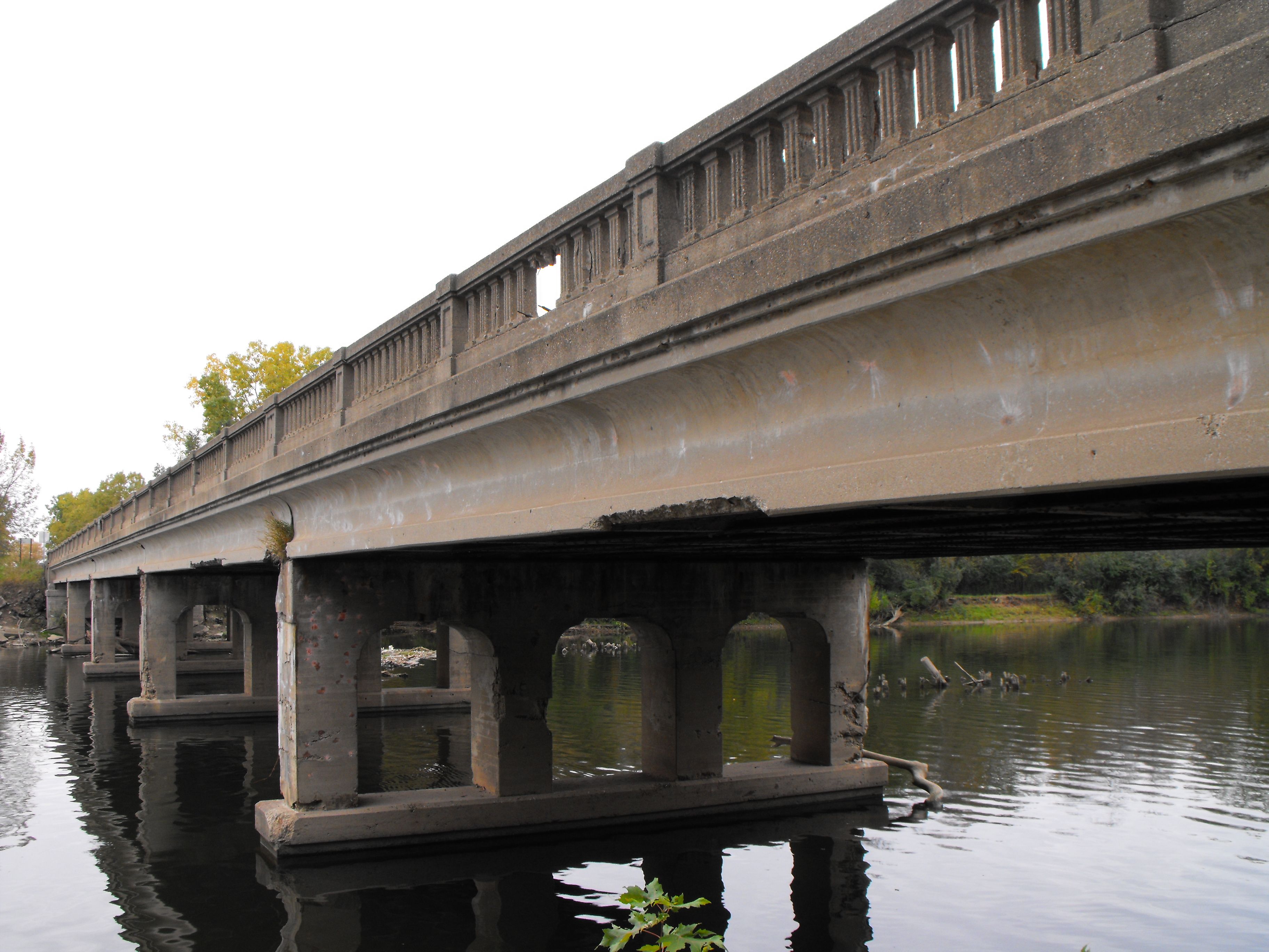
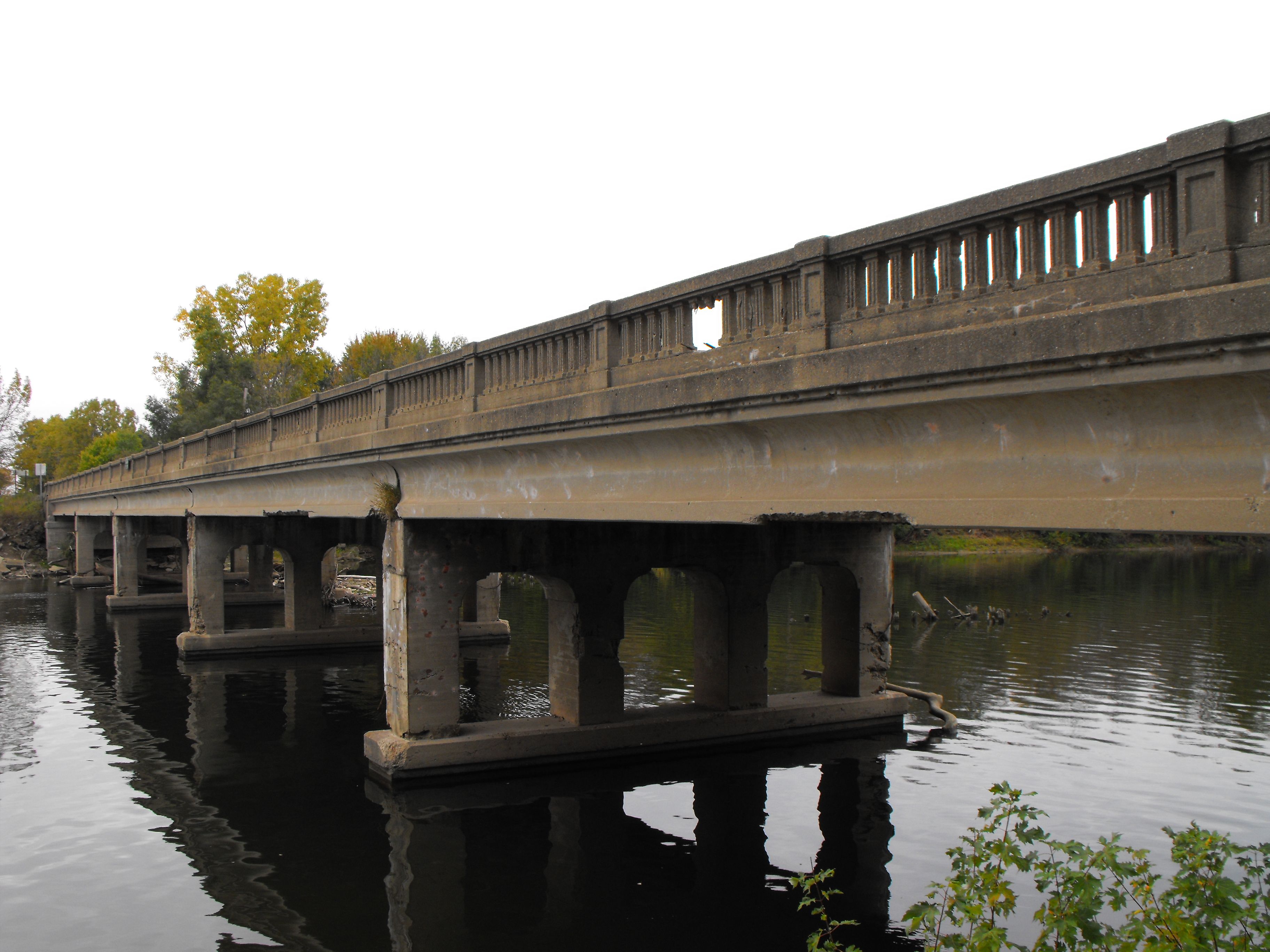
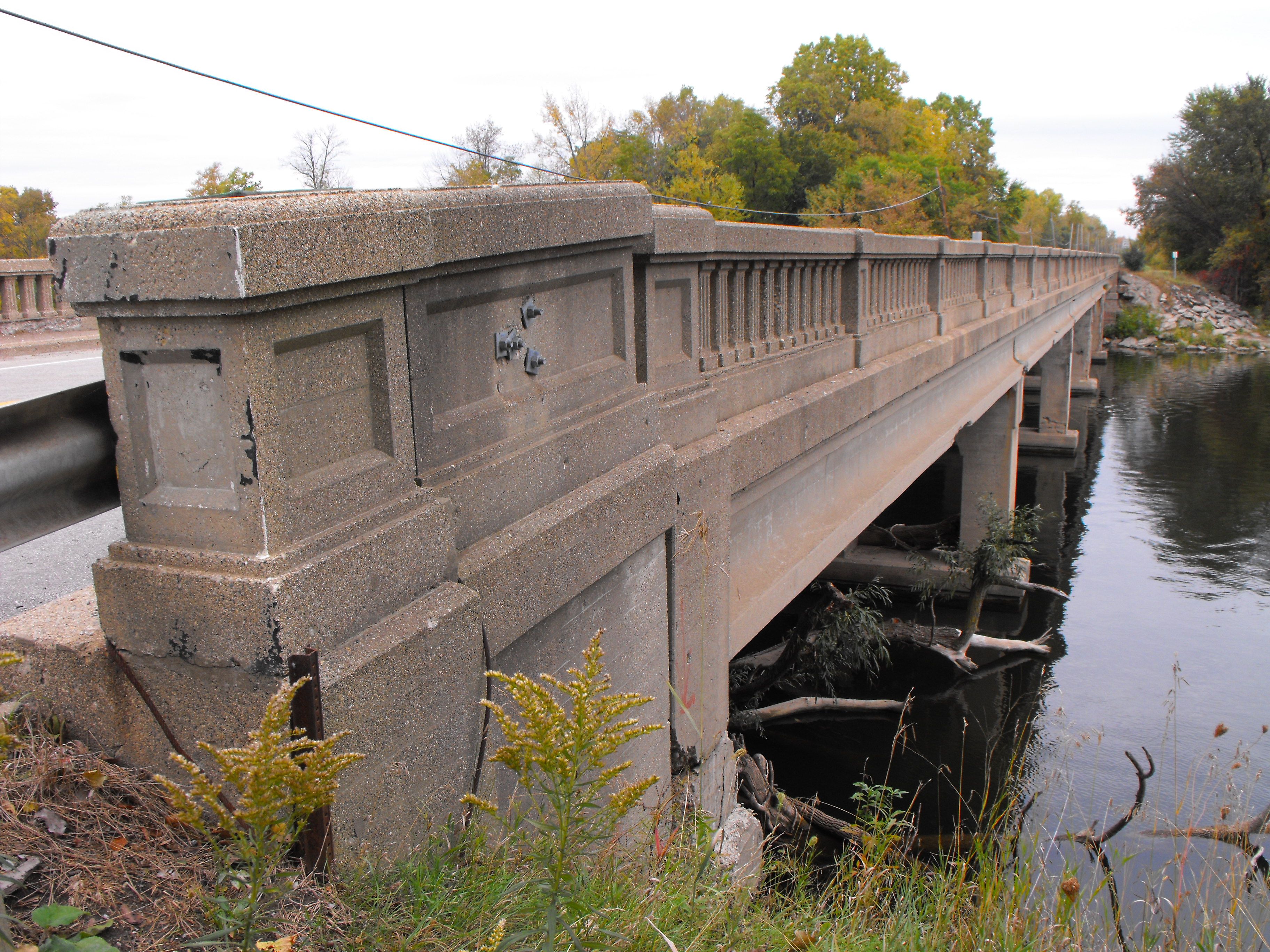
Elevation from southeast quadrant.
![]()


Portal views facing north.
![]()

Portal view facing south.
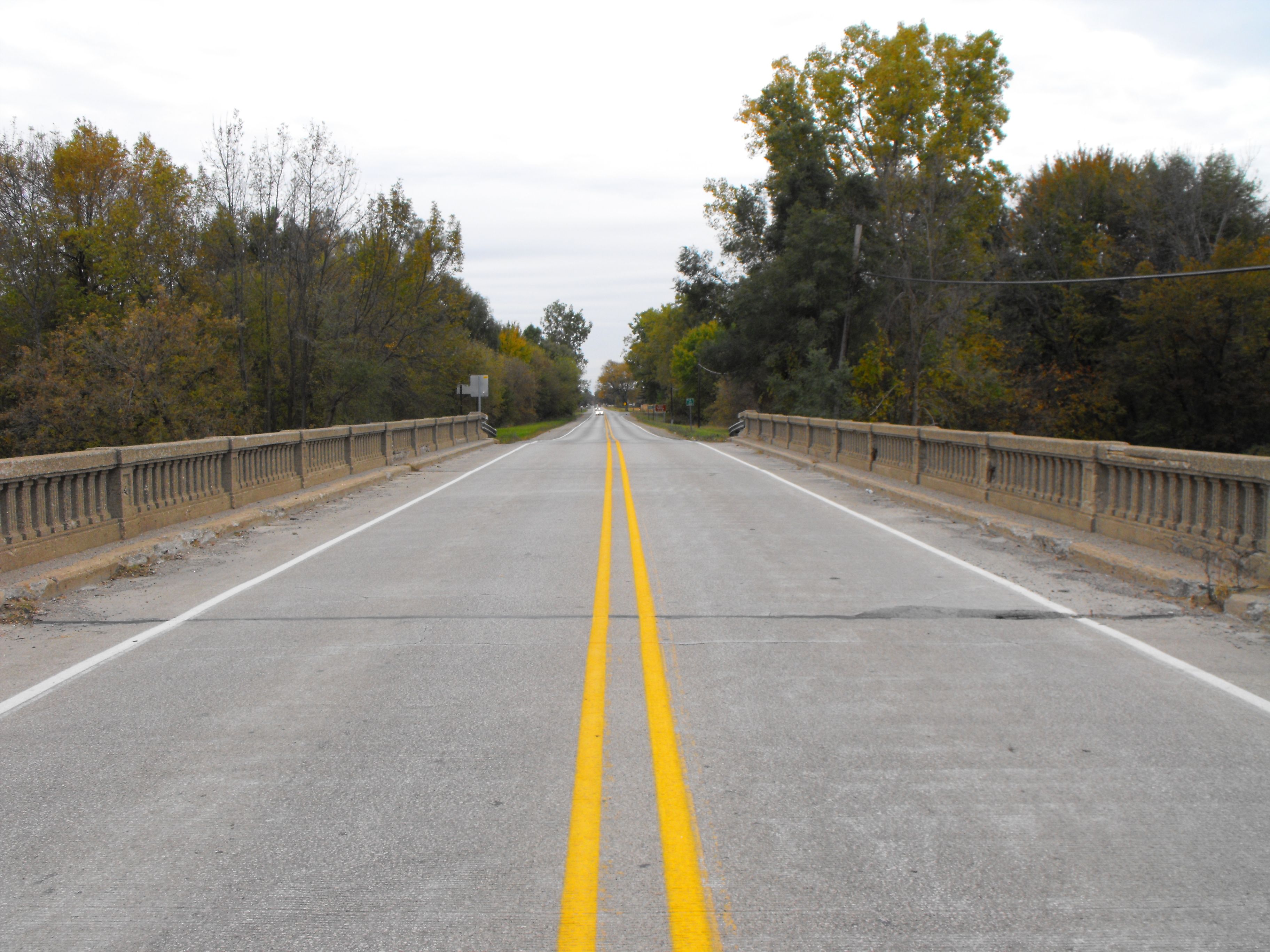
![]()

View on bridge looking northwest.
![]()

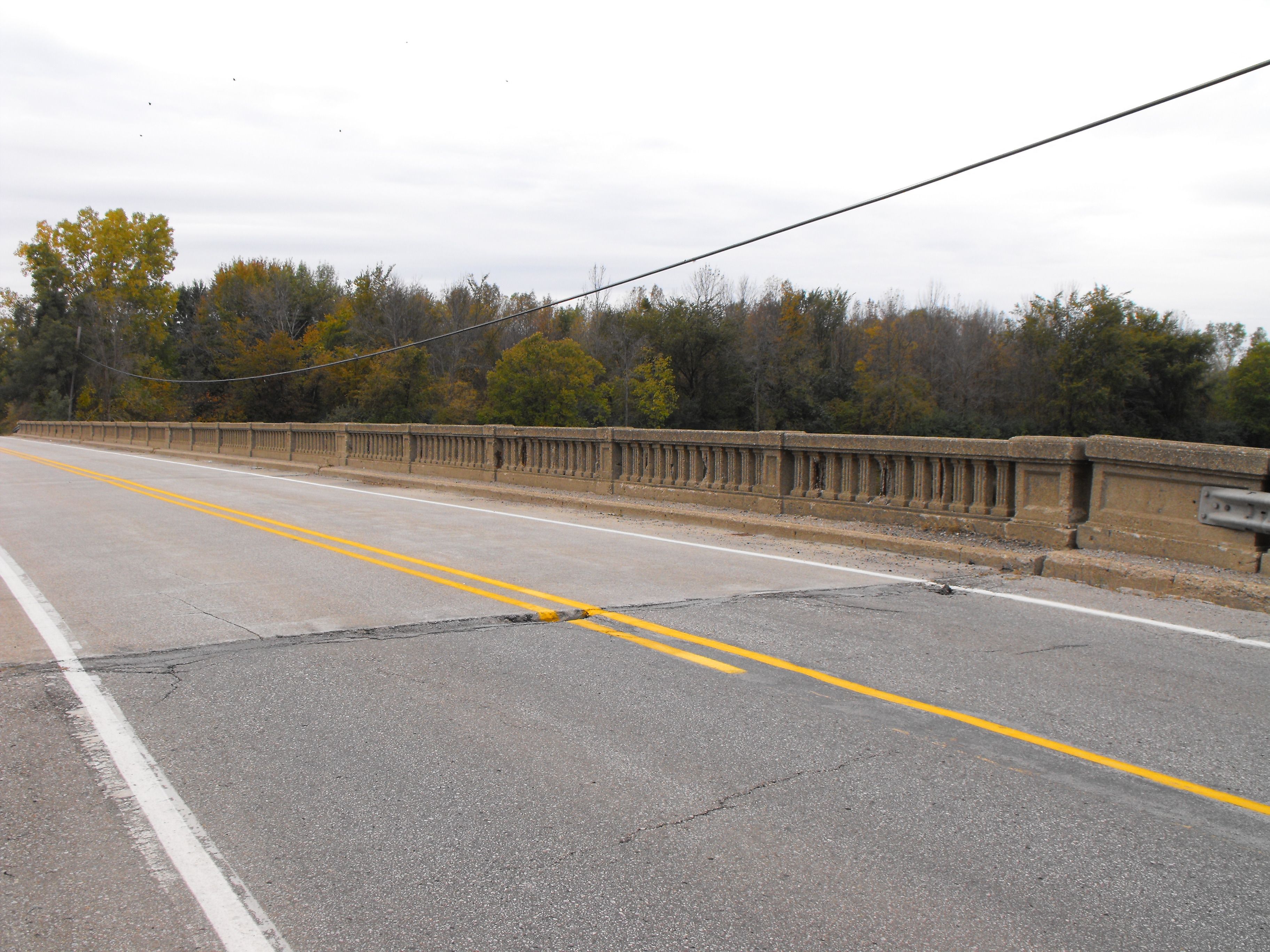


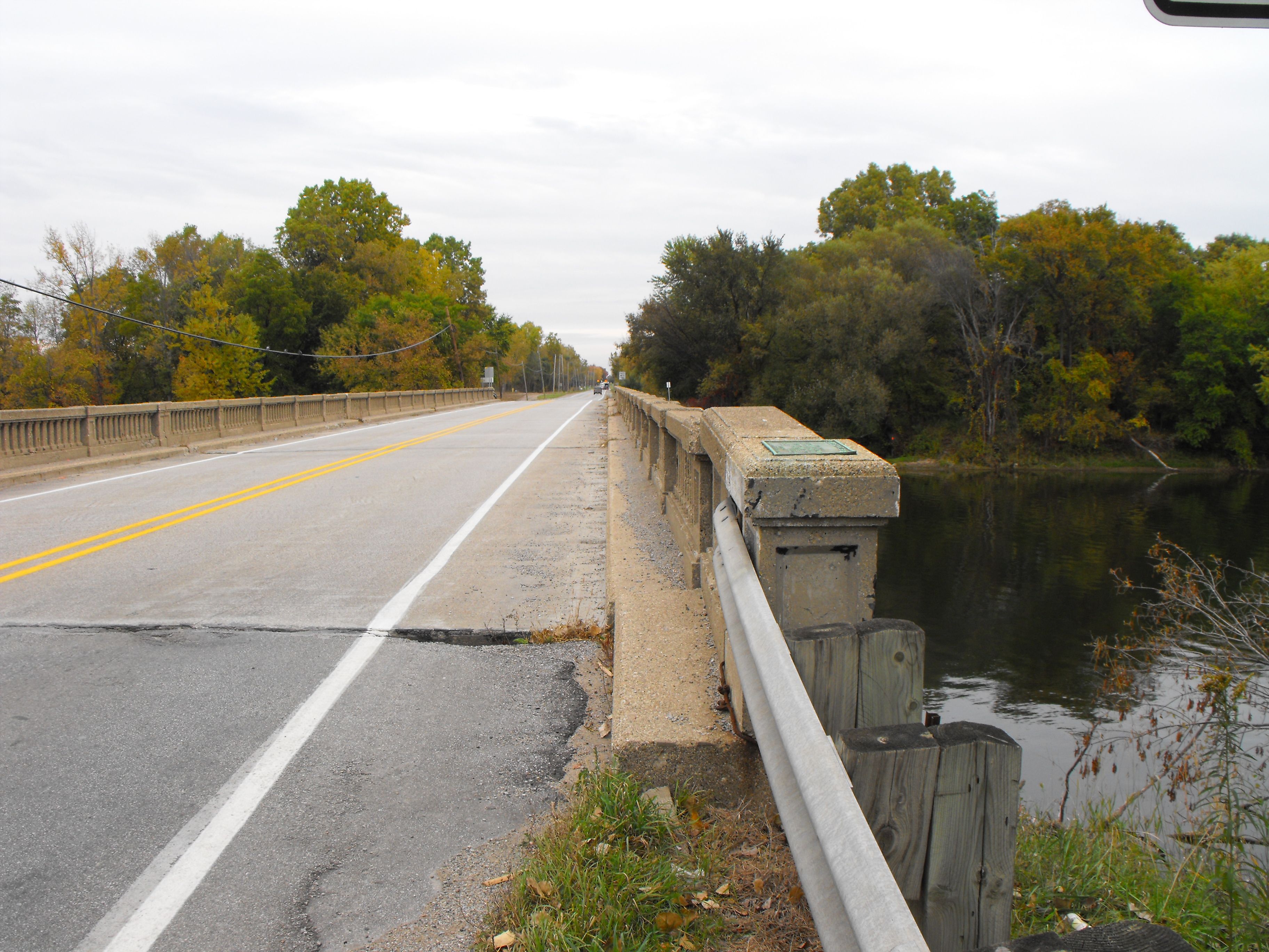
View of bridge deck looking southwest.
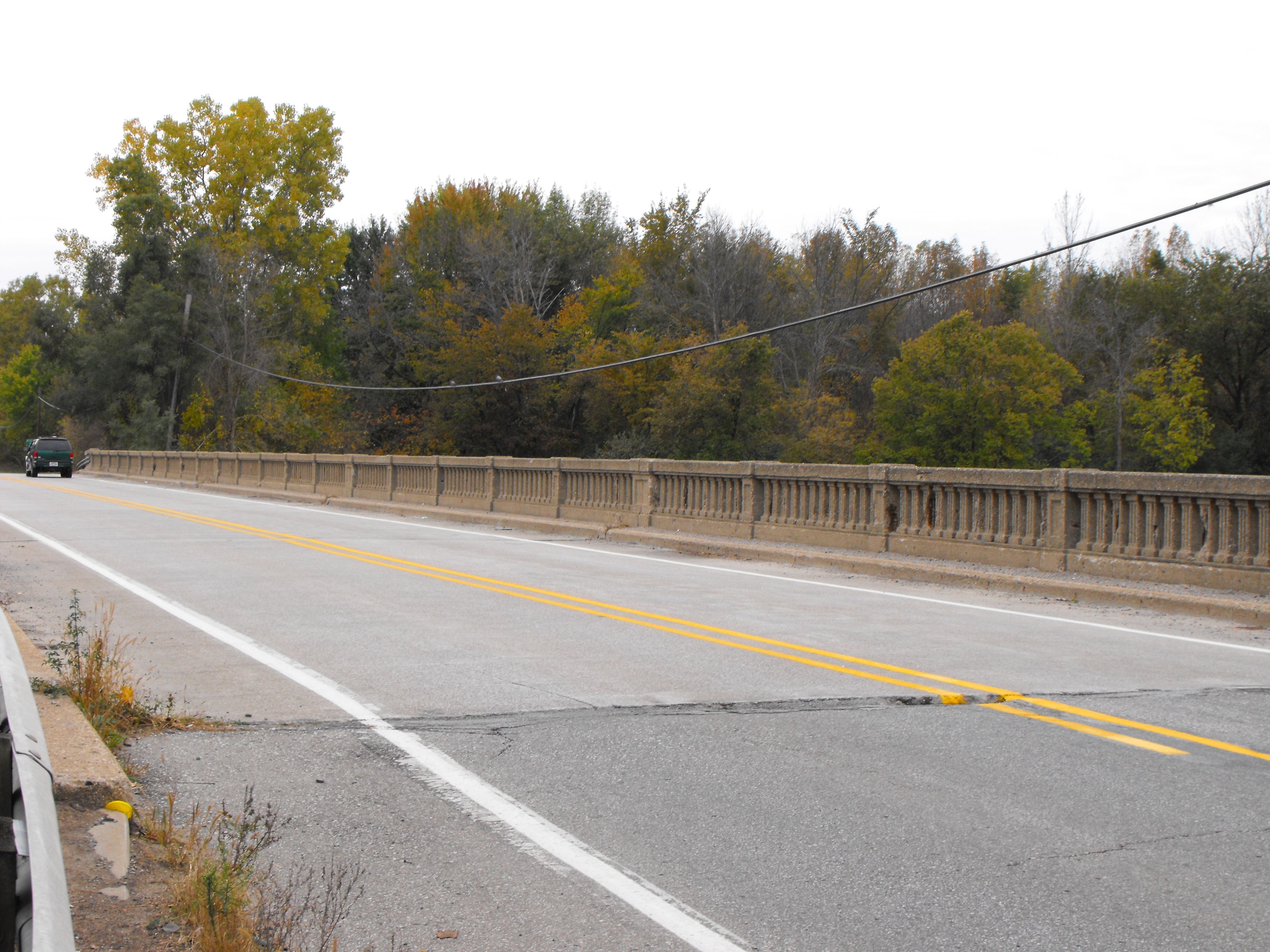
![]()


View of bridge deck looking southeast.
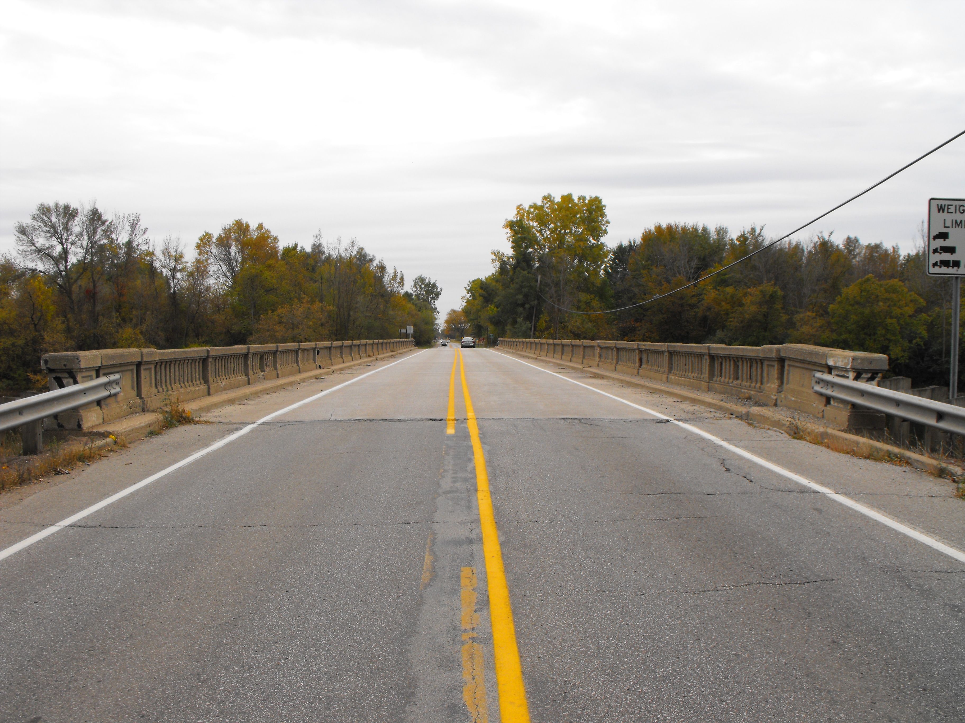
![]()
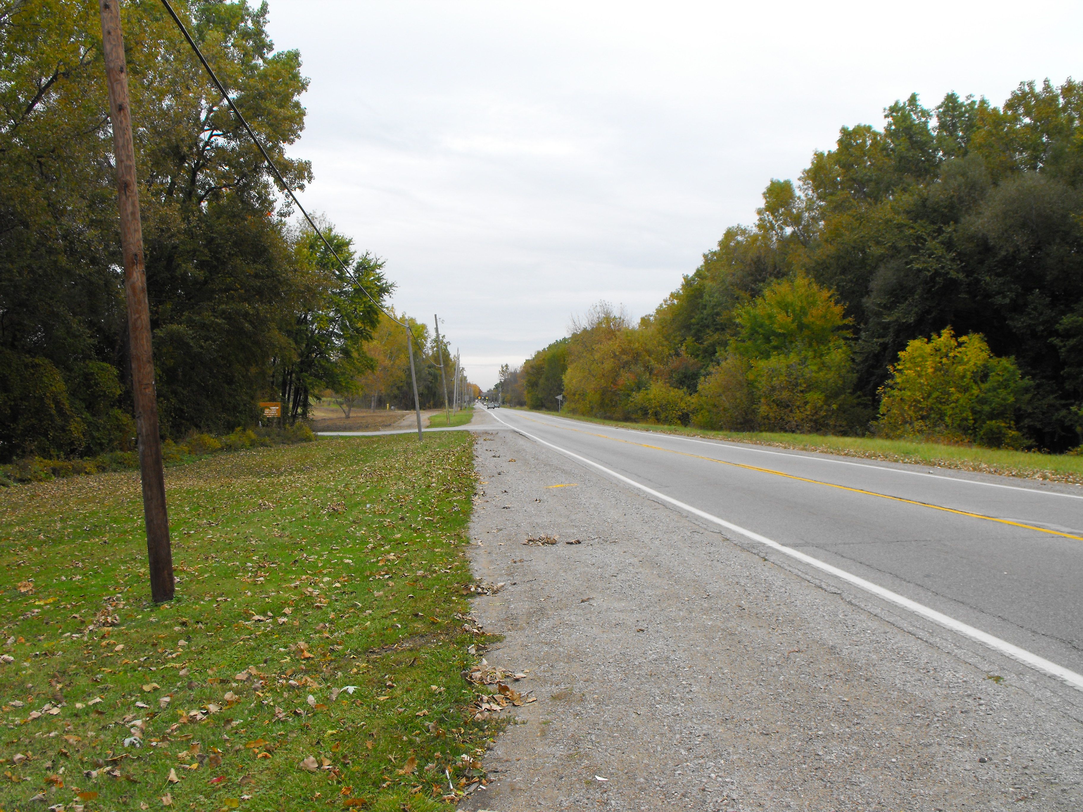
View from roadway shoulder facing north.
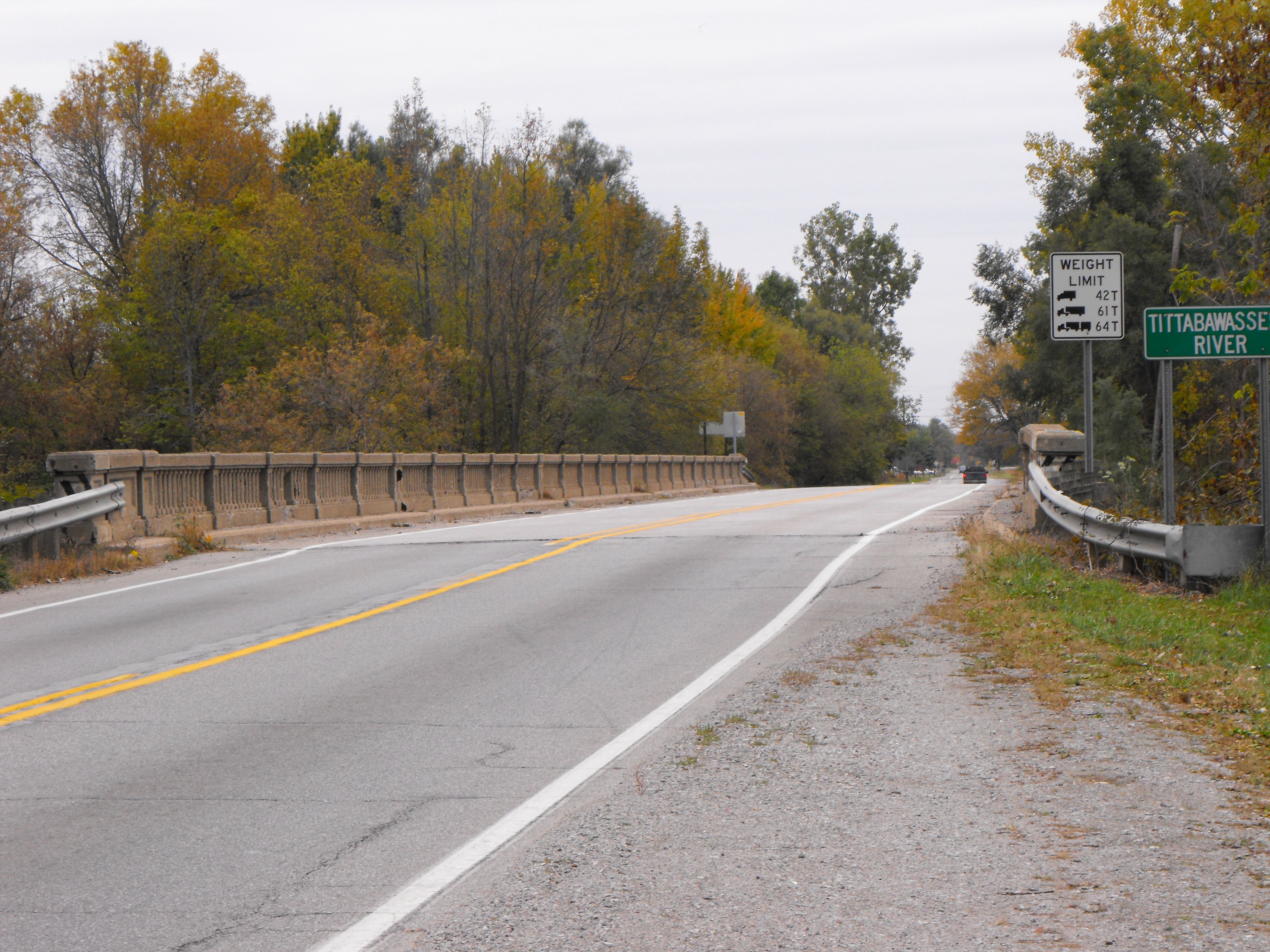
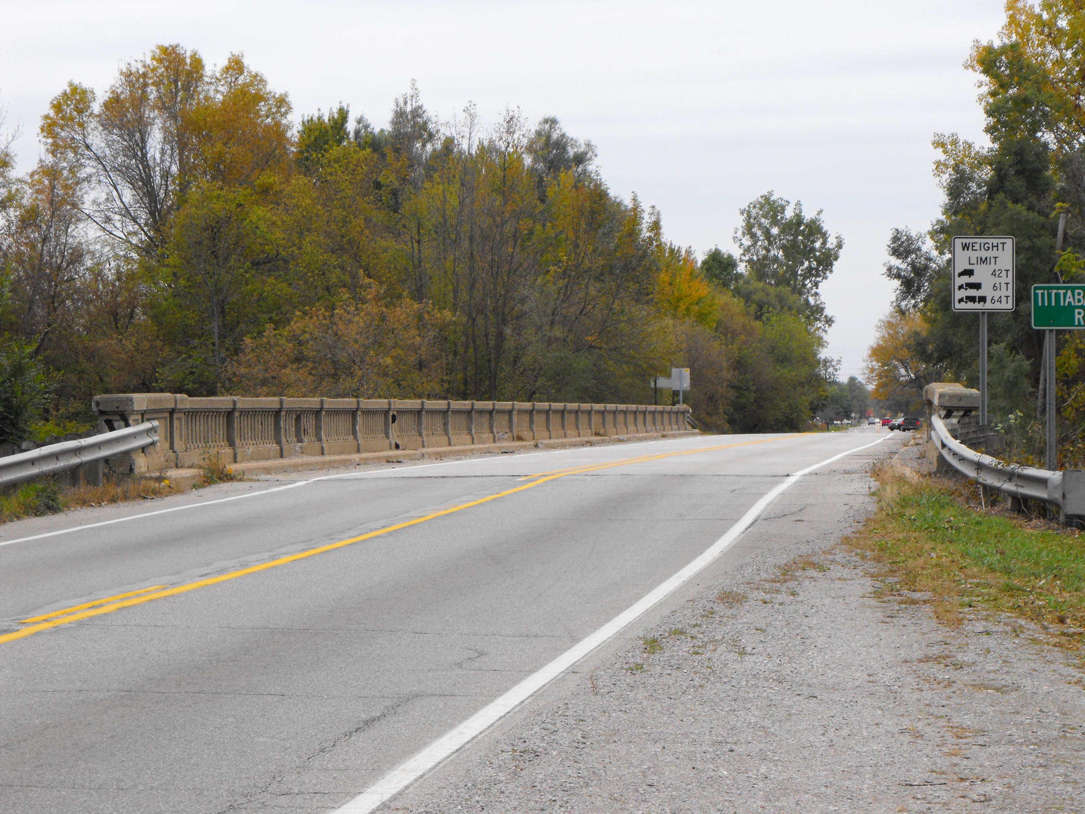
![]()
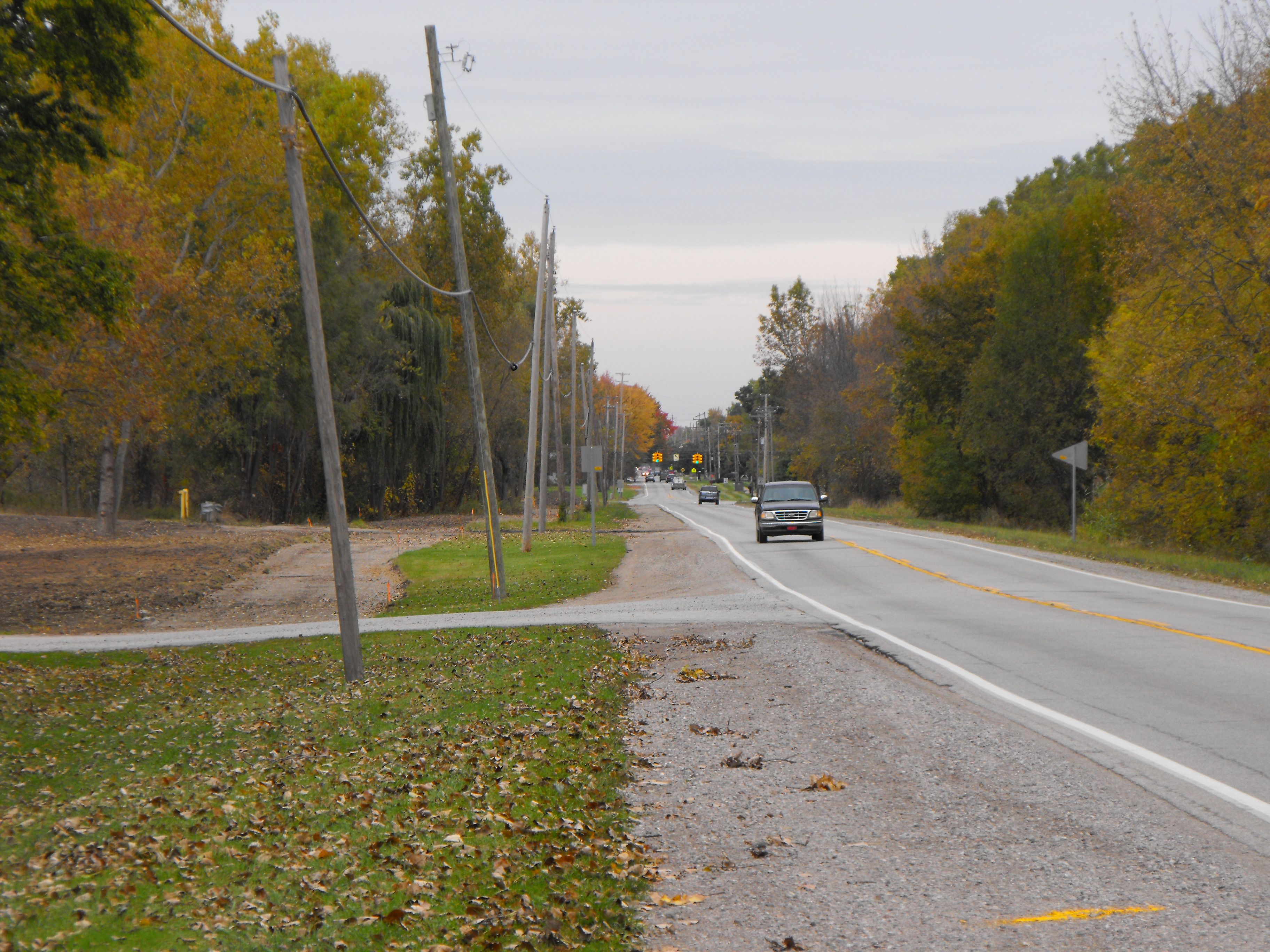

Approaching roadway, facing north. The beginnings of the non-motorized trail that could have utilized a preserved historic bridge is visible to the left.
![]()
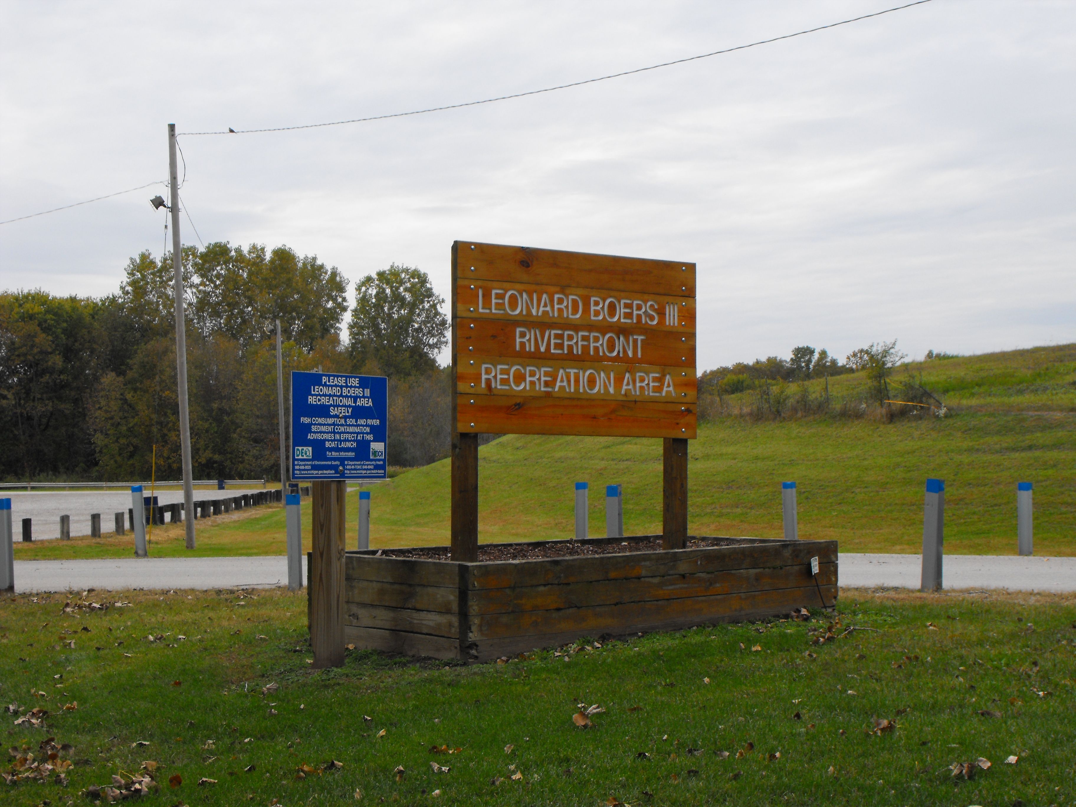
This is the recreation area next to the bridge, northwest quadrant around the bridge.
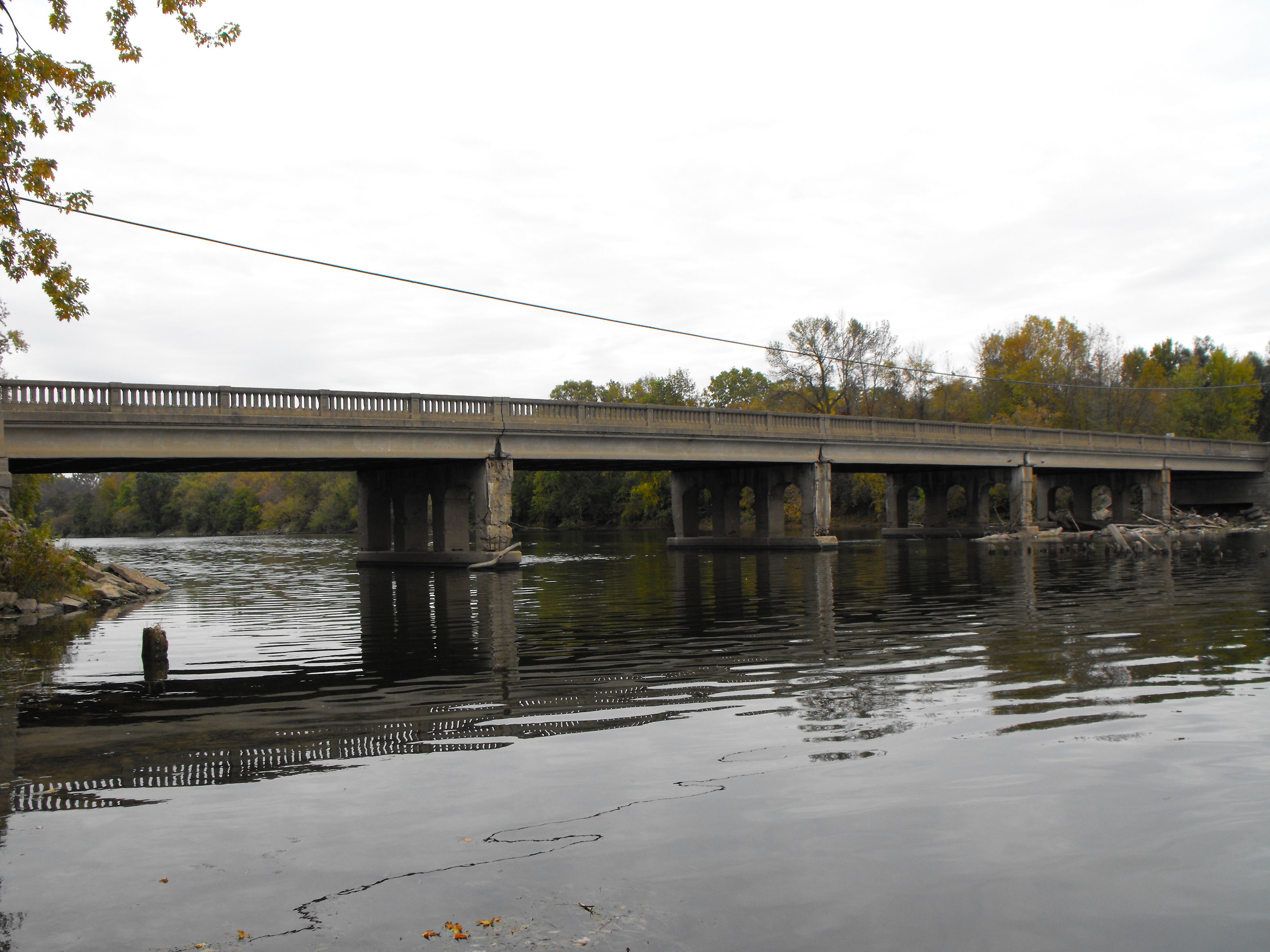
![]()
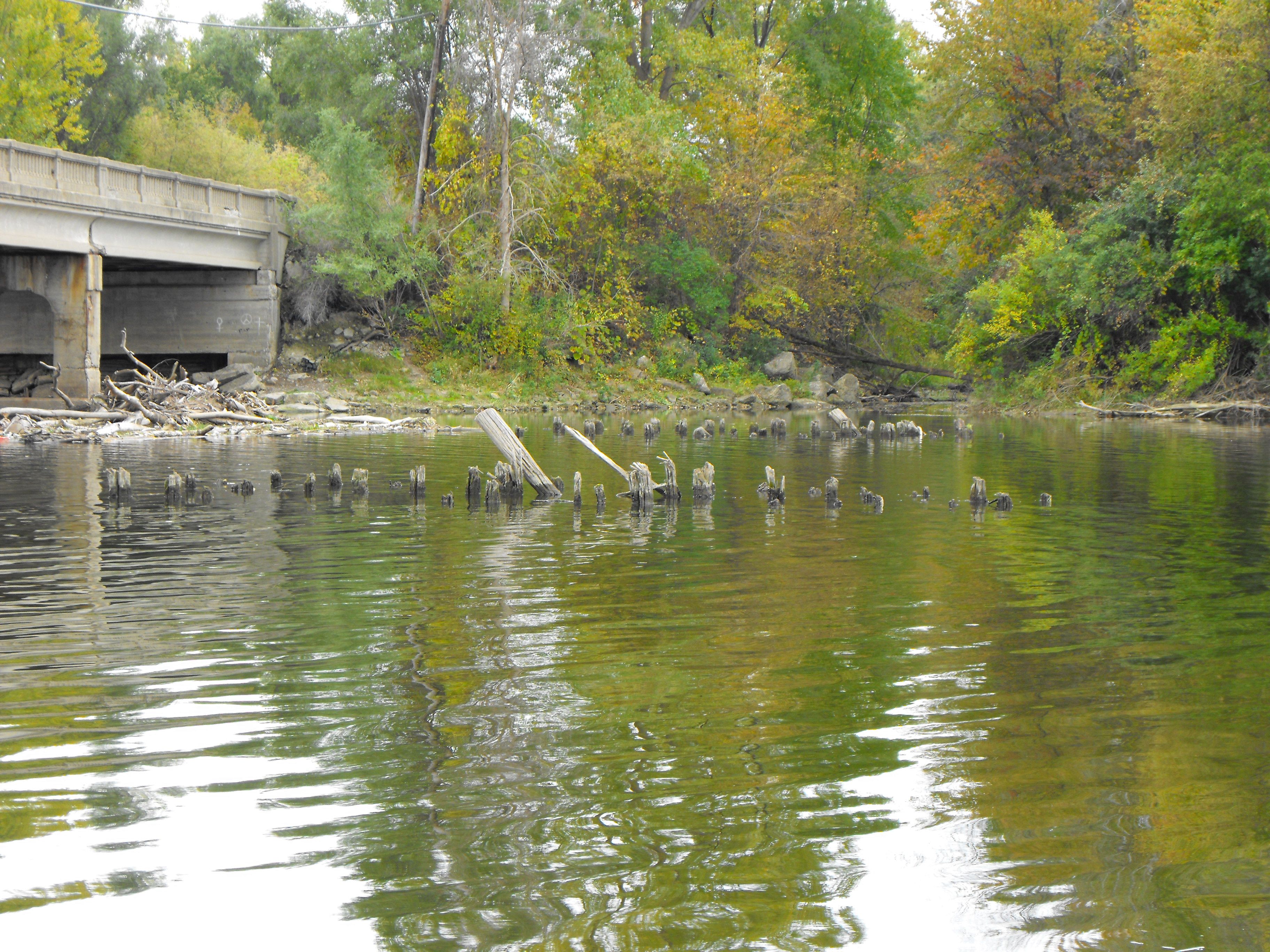
Wooden pilings in the water west of the bridge. These may be fenders from a previous movable bridge.
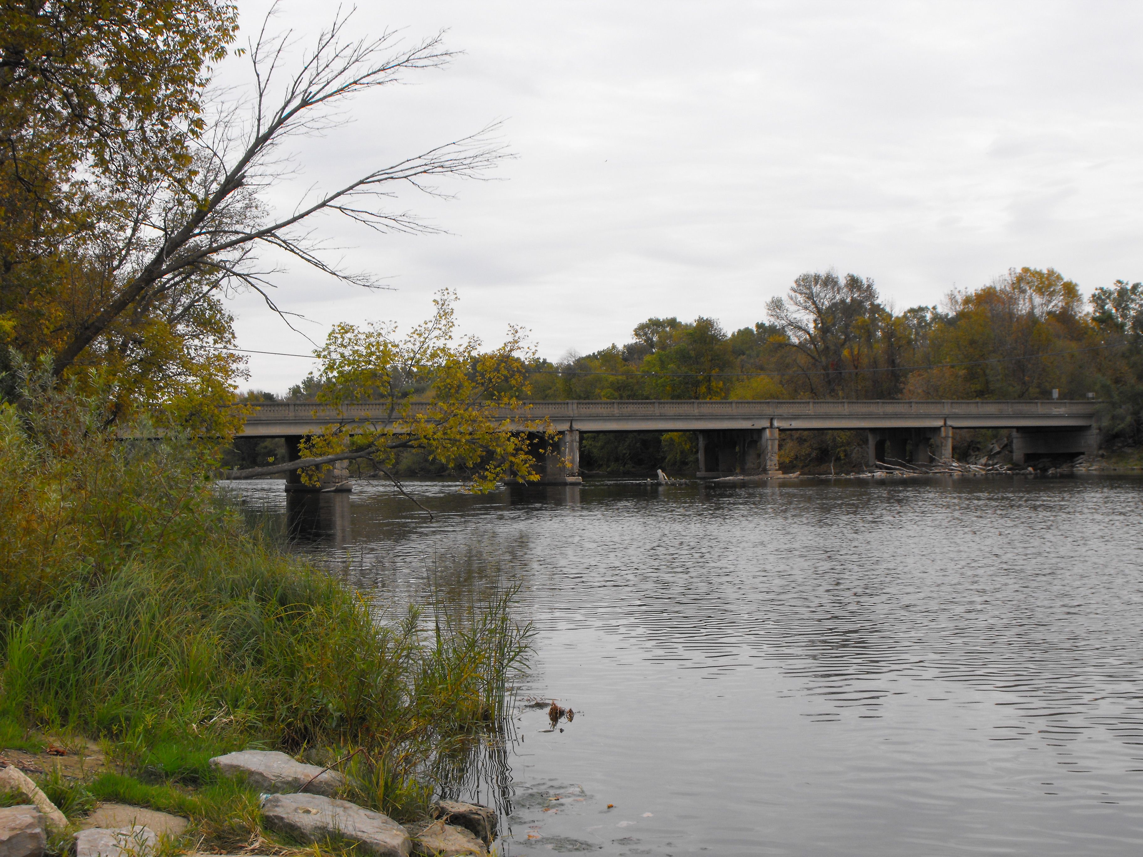
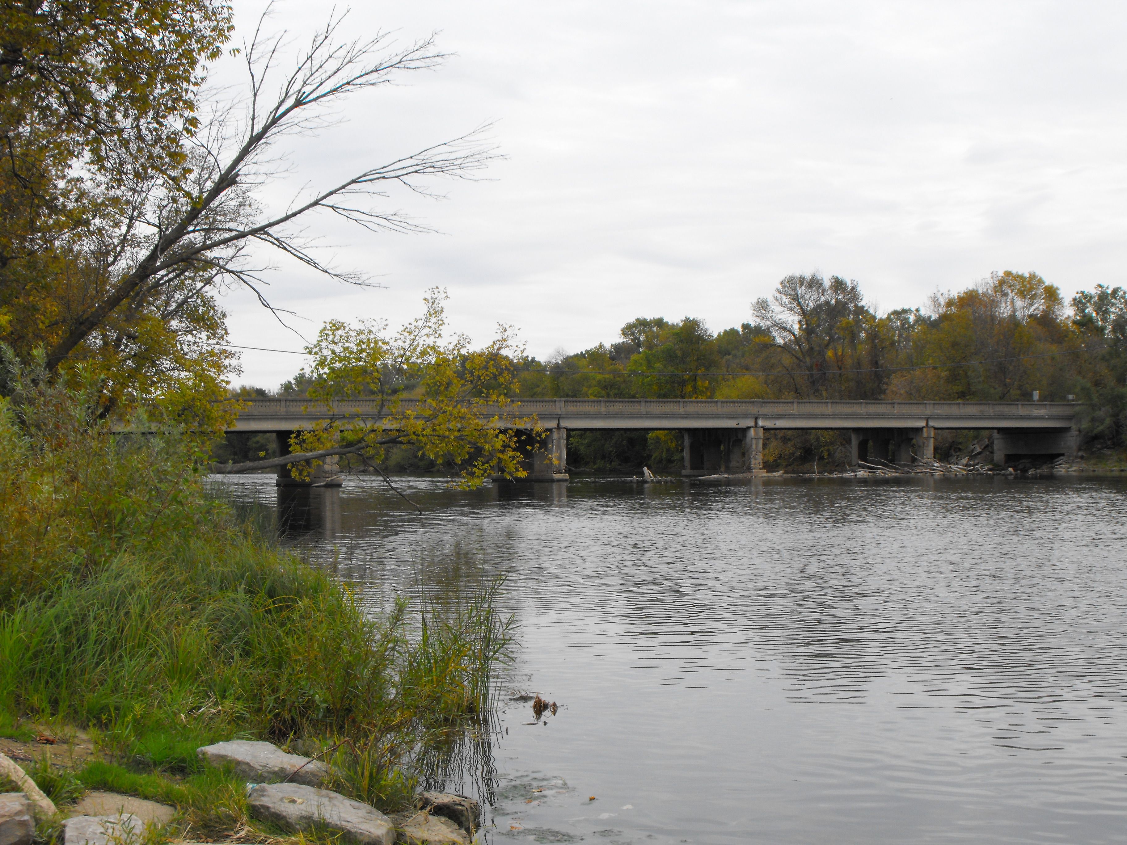
![]()


Various zoomed views, taken from north of the bridge.
![]()
![]()
| Back |
| Home |
| Top |

![]()