Uncredited photos on this page taken by: Nathan Holth. Unless stated in a caption, all photos are Copyright with All Rights Reserved. Learn about reuse of our photos.
![]()
![]()
![]()
![]()
Ultra-High Resolution Panoramic Elevation from southeast quadrant. Note: Original size versions of these photos have large file sizes and may not display in browsers, phones, or older computers.
![]()

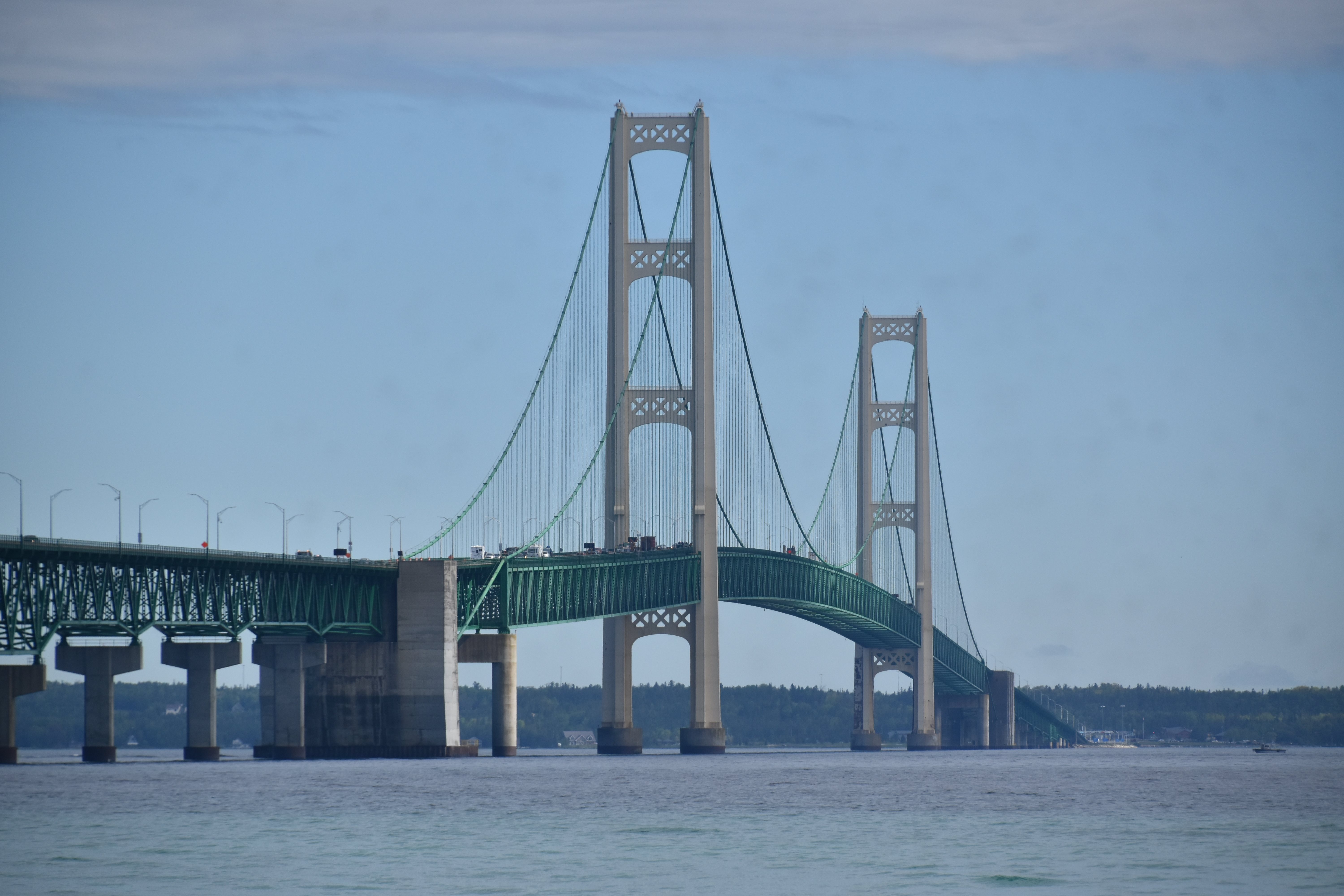


Suspension span elevation from southeast quadrant.
![]()
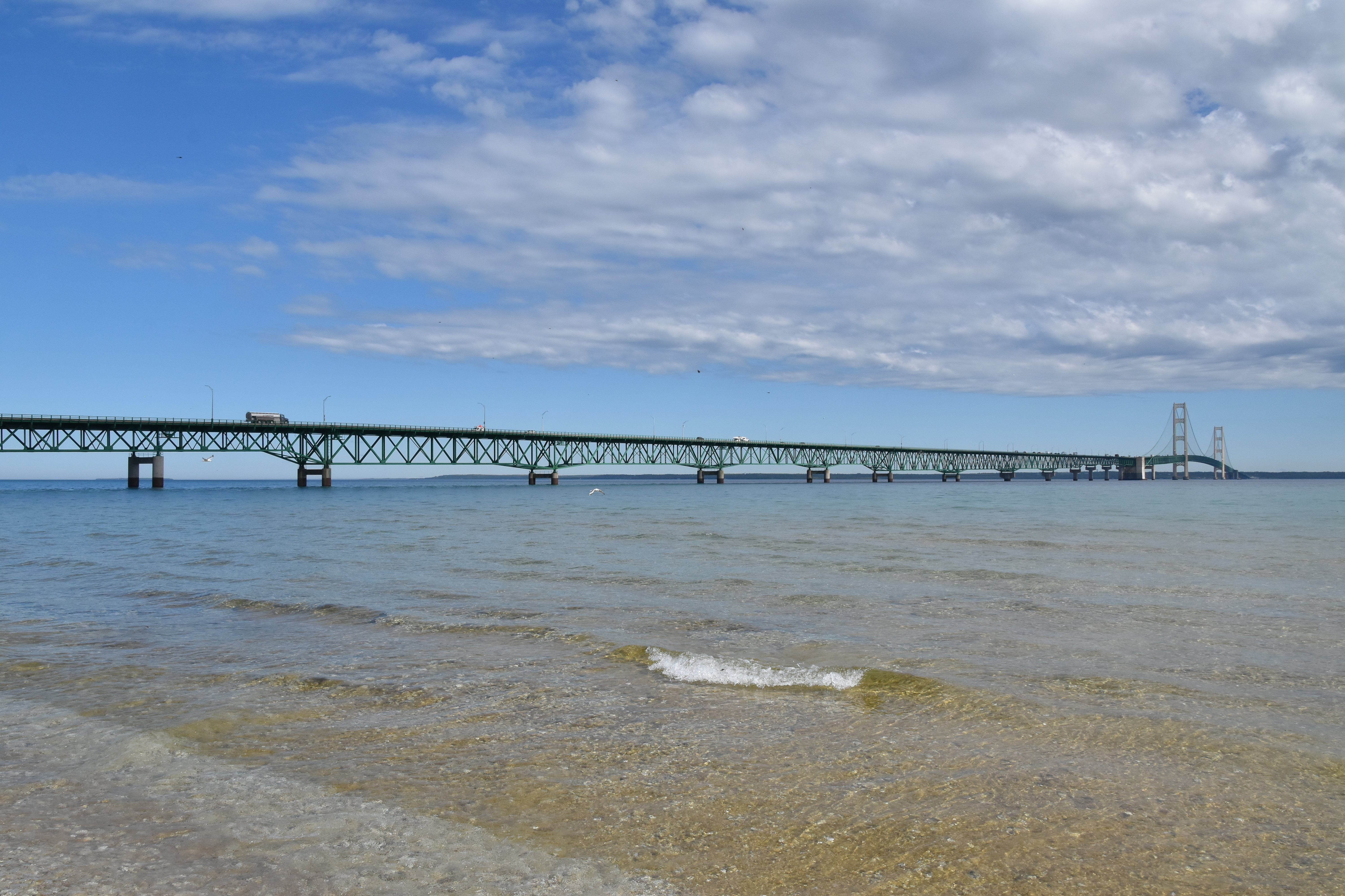
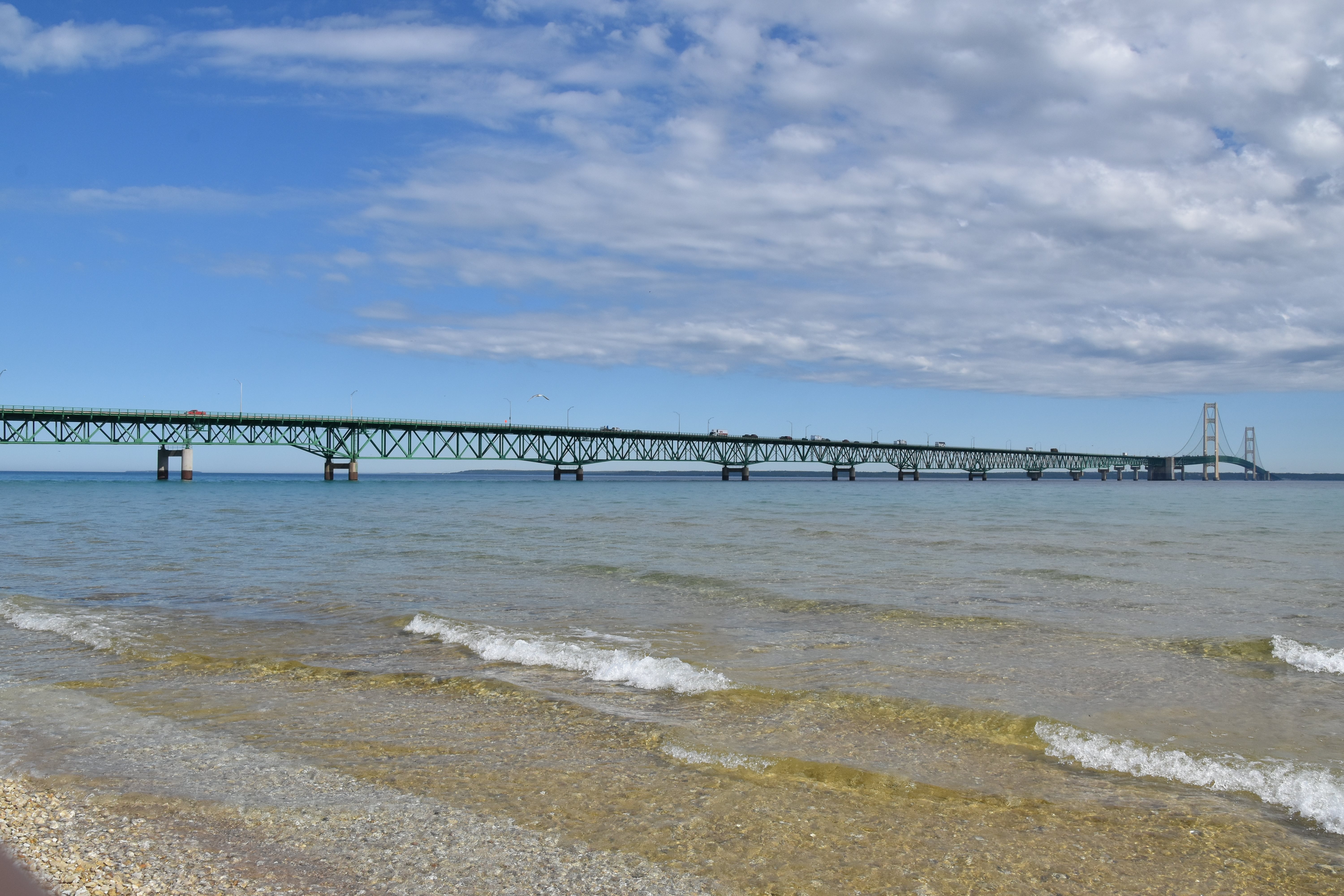
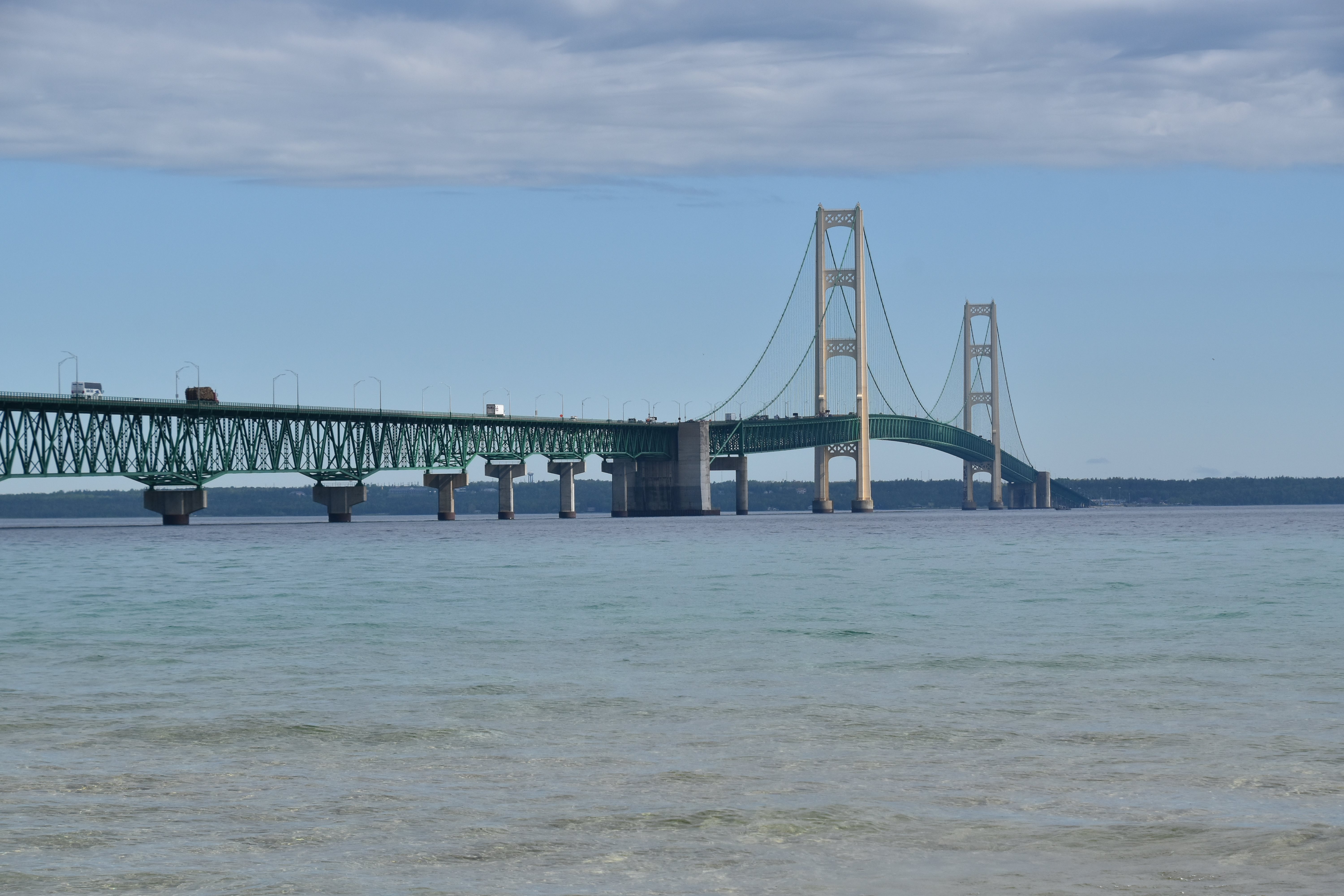
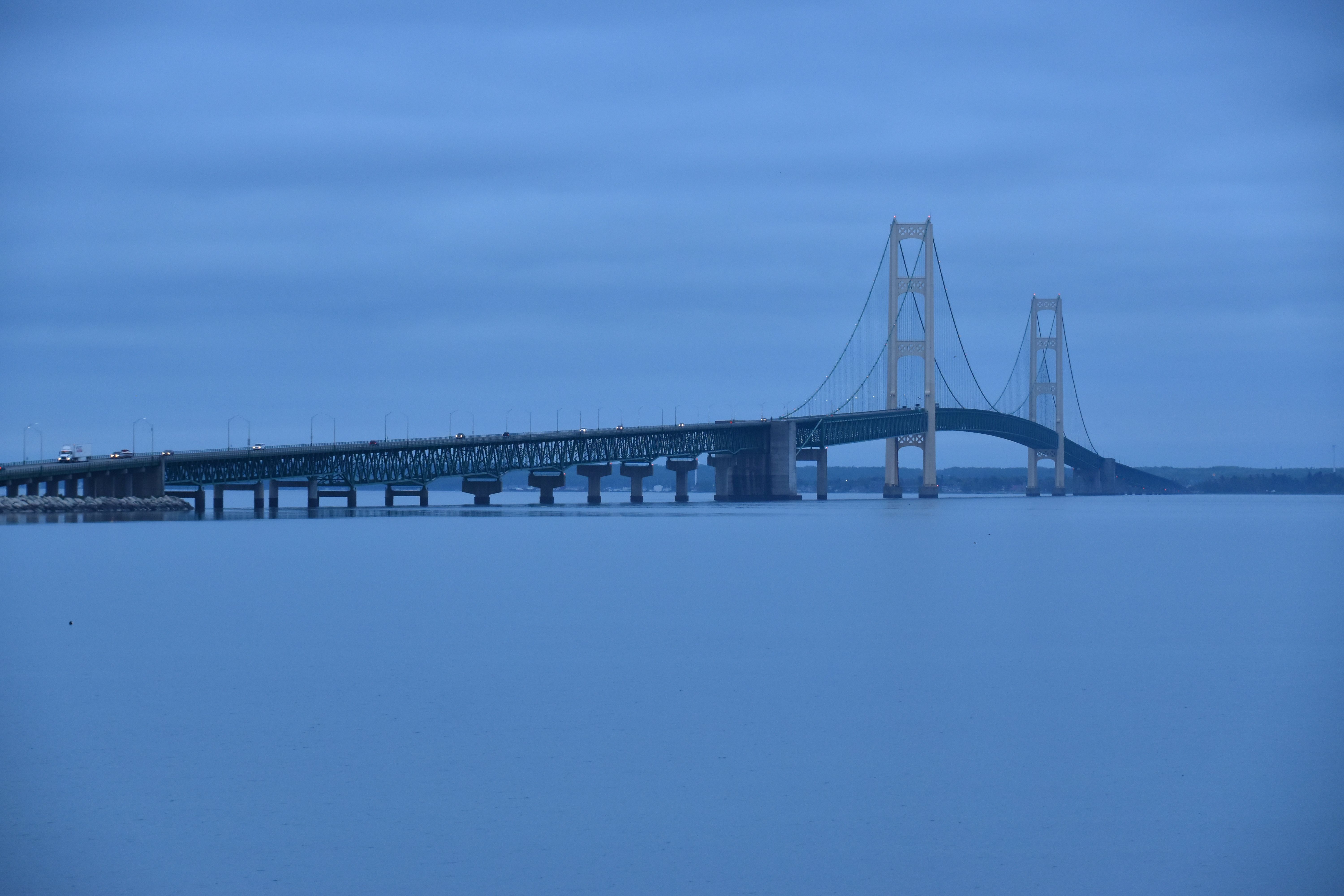
Elevation from southeast quadrant.
![]()


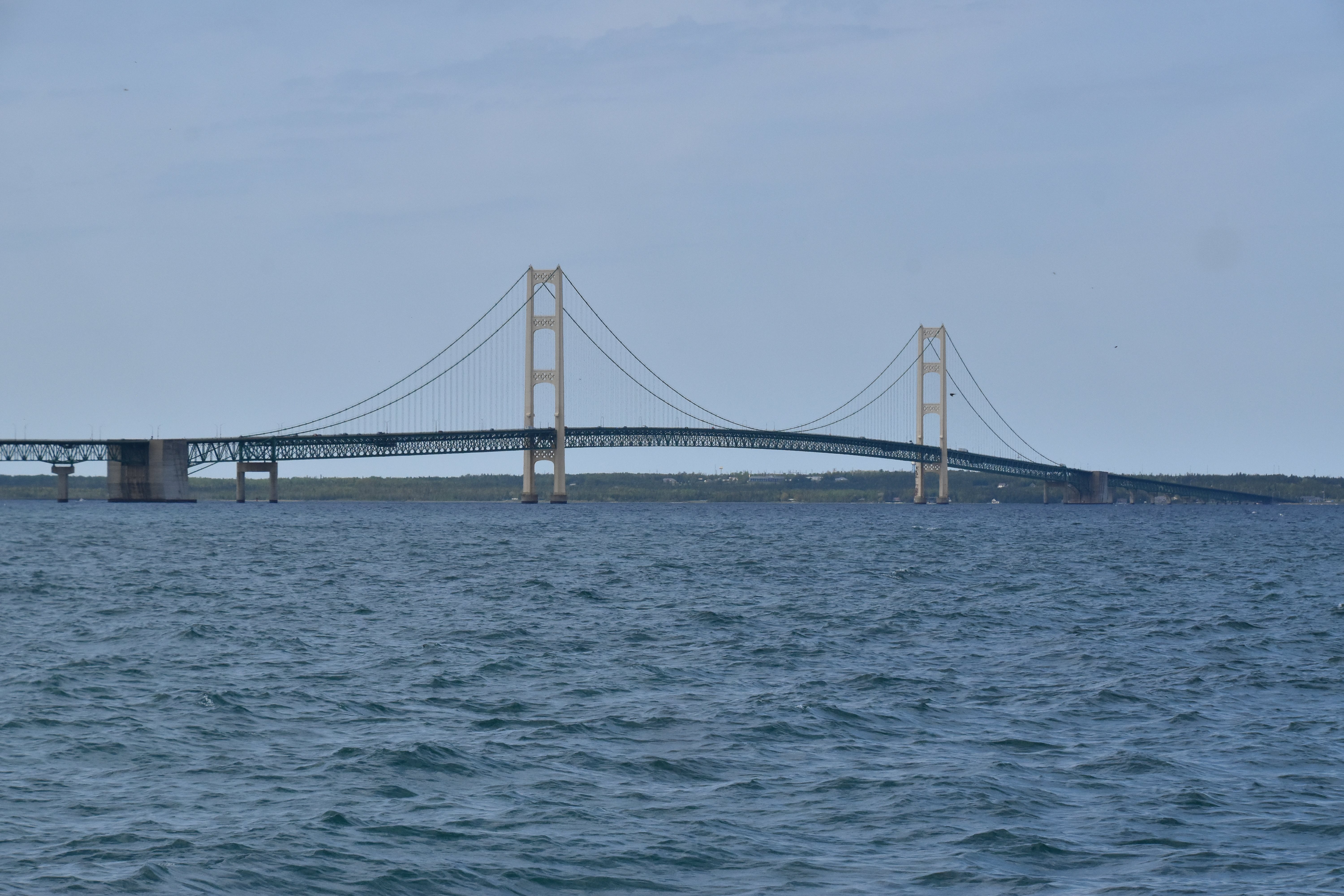
Deck truss elevation from southeast quadrant.
![]()

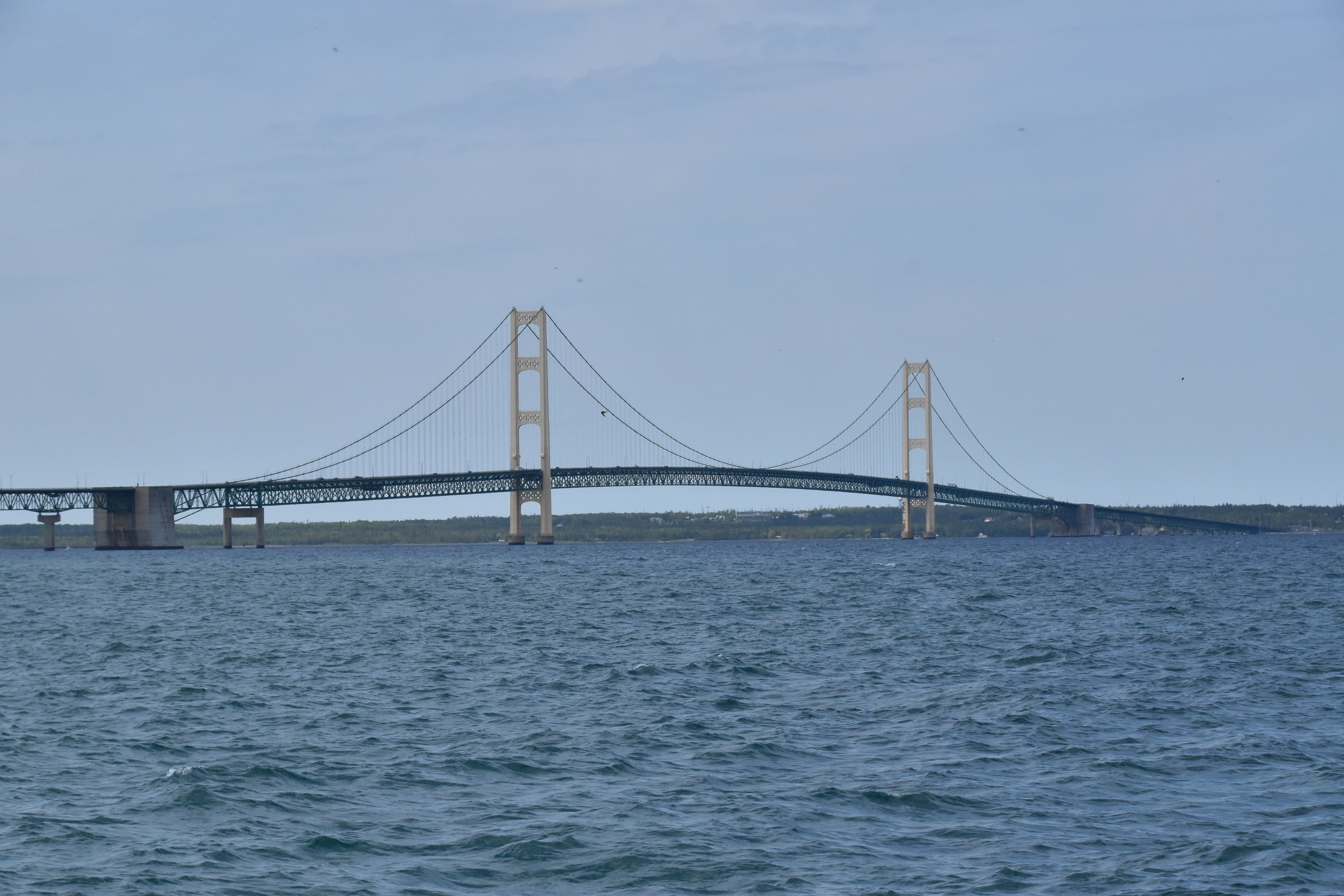


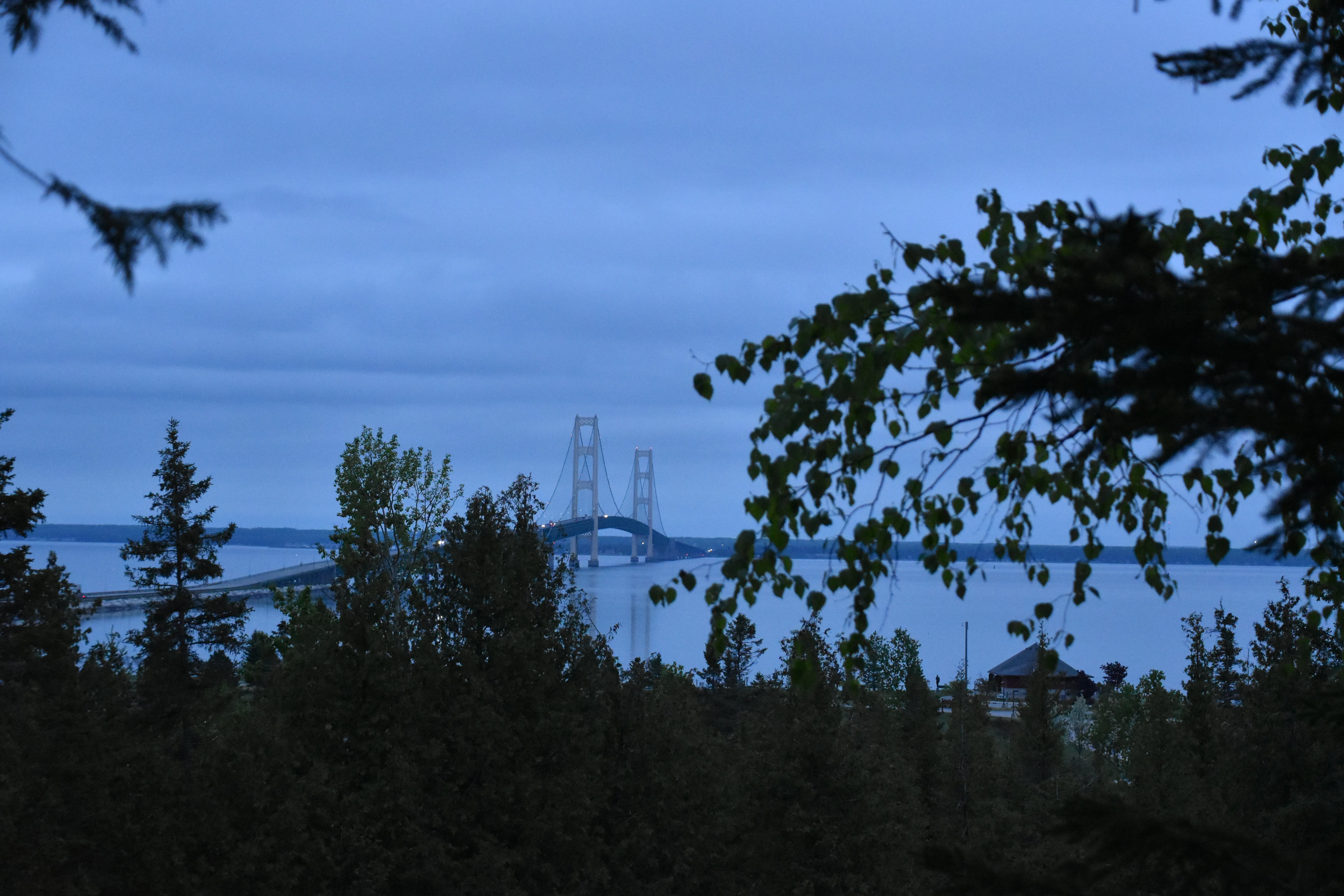
Distant southeast elevation from Mackinaw City dock.
![]()


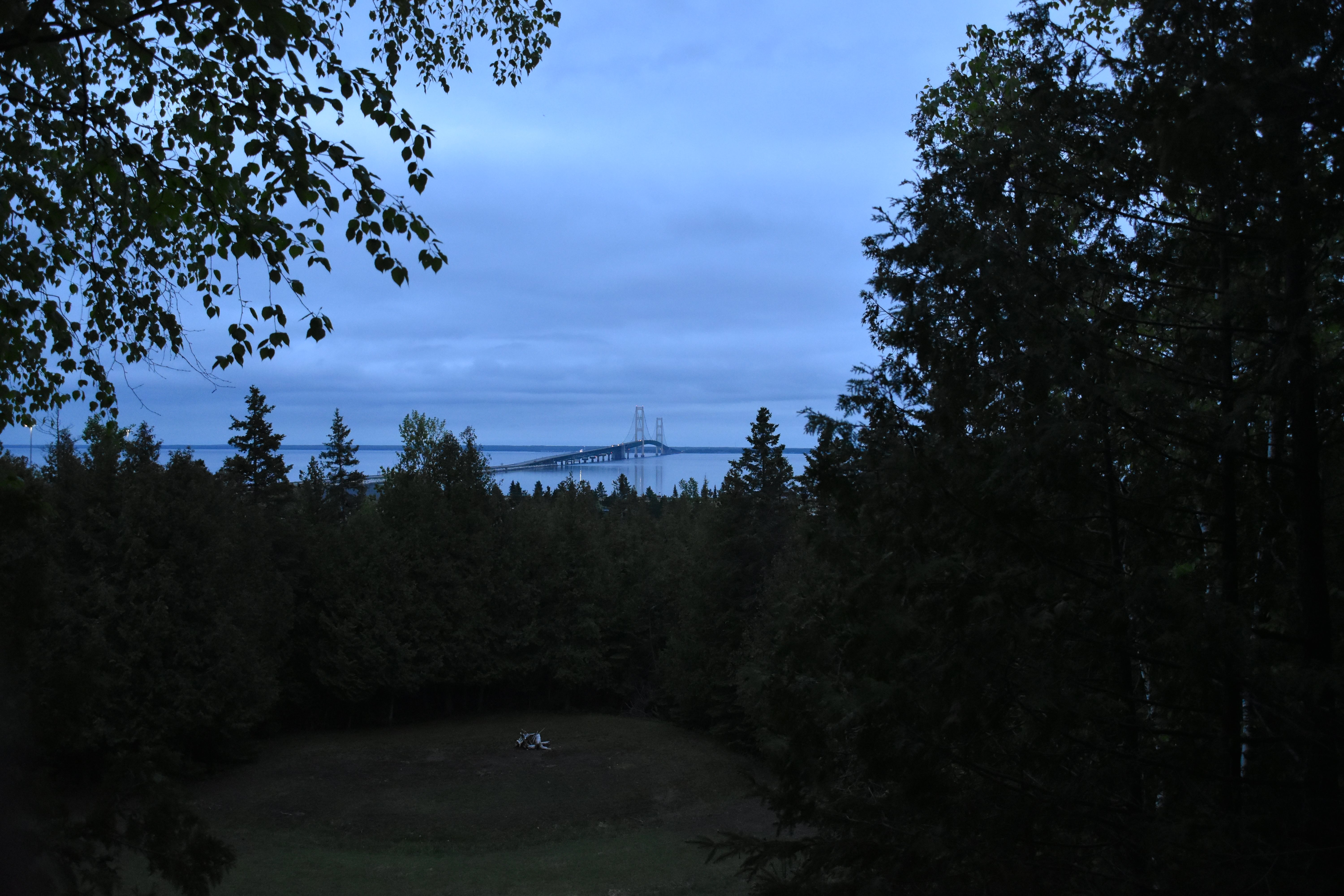
Extreme distance elevation as seen from Cheboygan. The bridge is about 16 miles away in these photos.
![]()
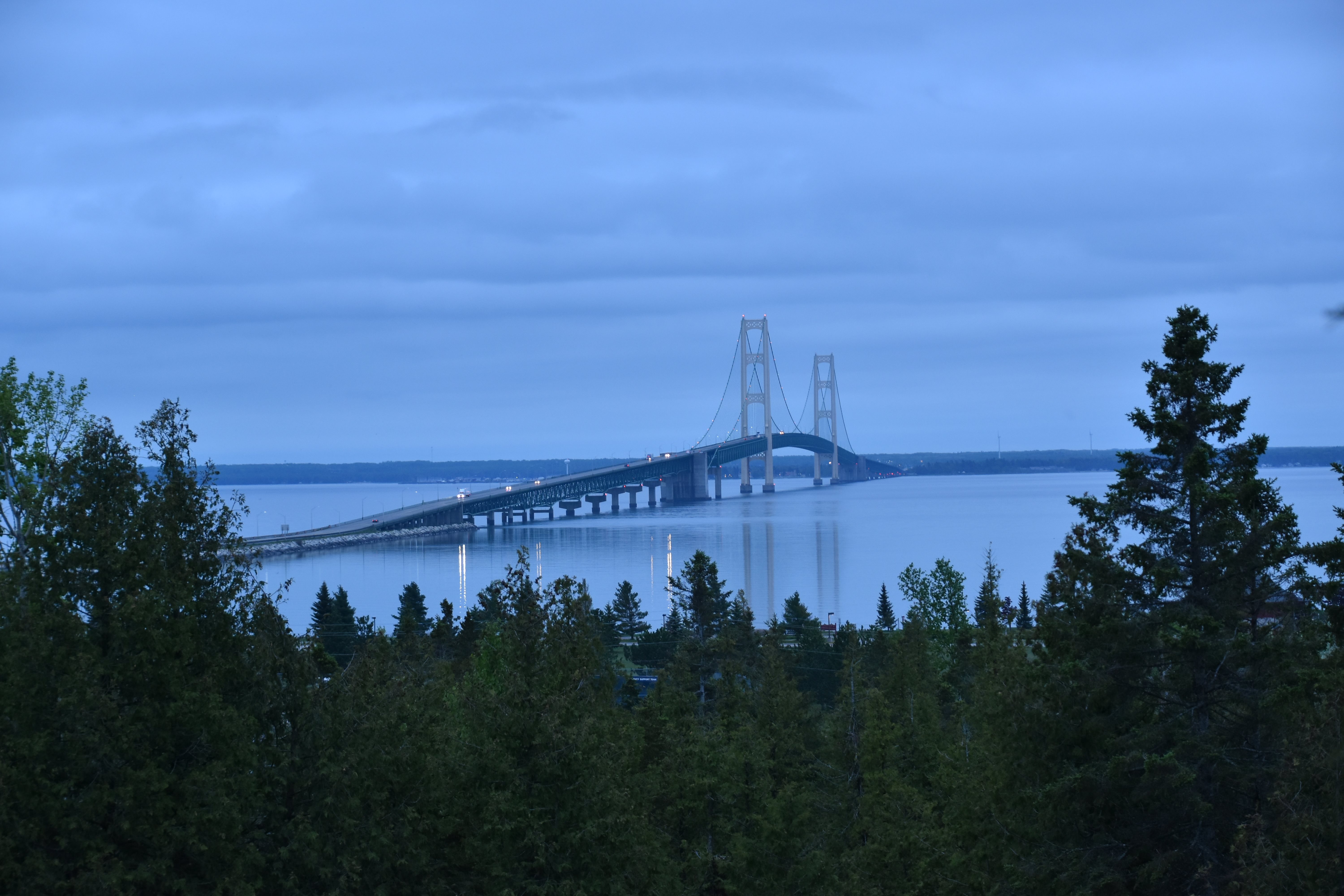


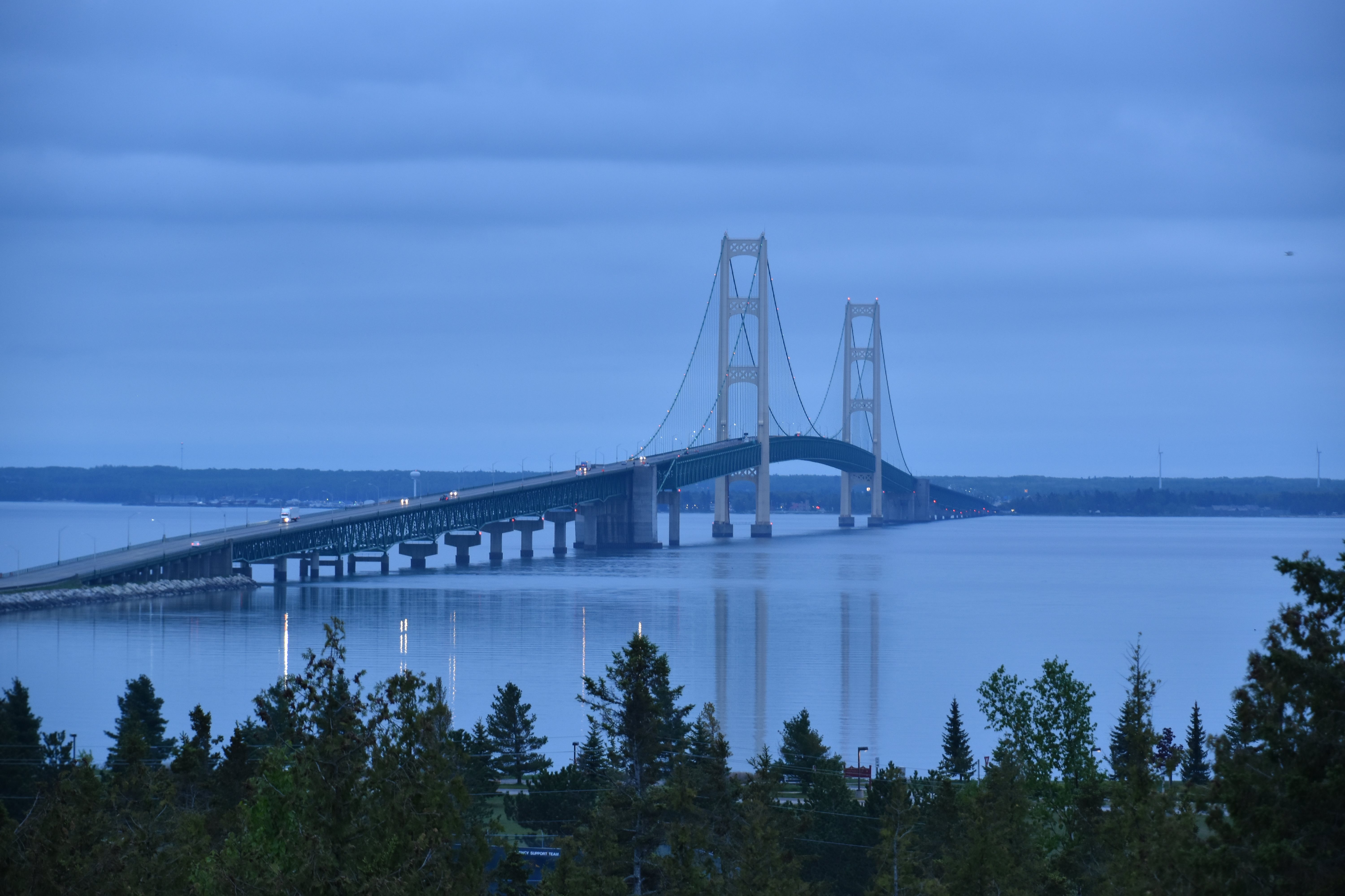
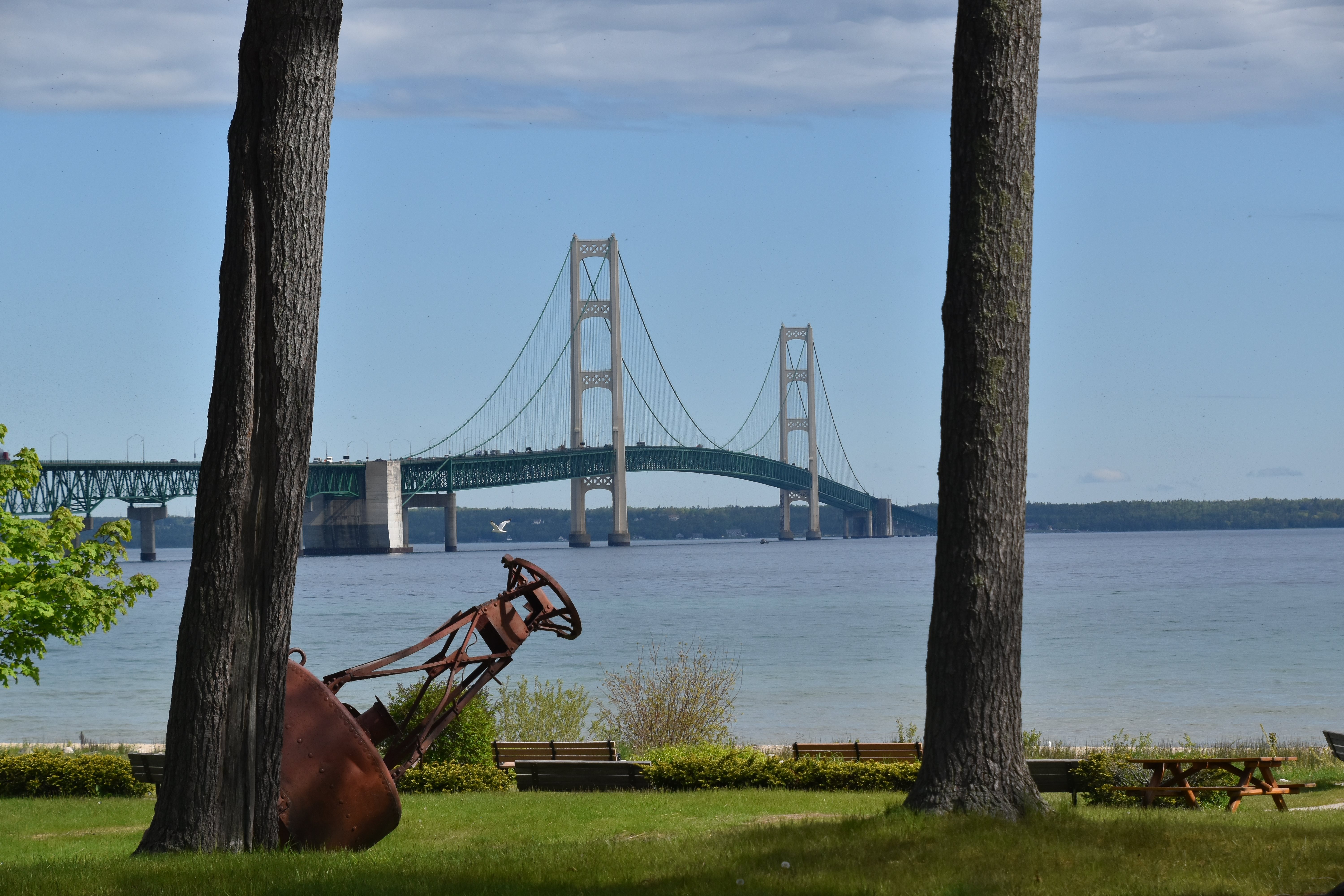
Elevation from northwest quadrant as seen from Father Marquette National Memorial trailway.
![]()

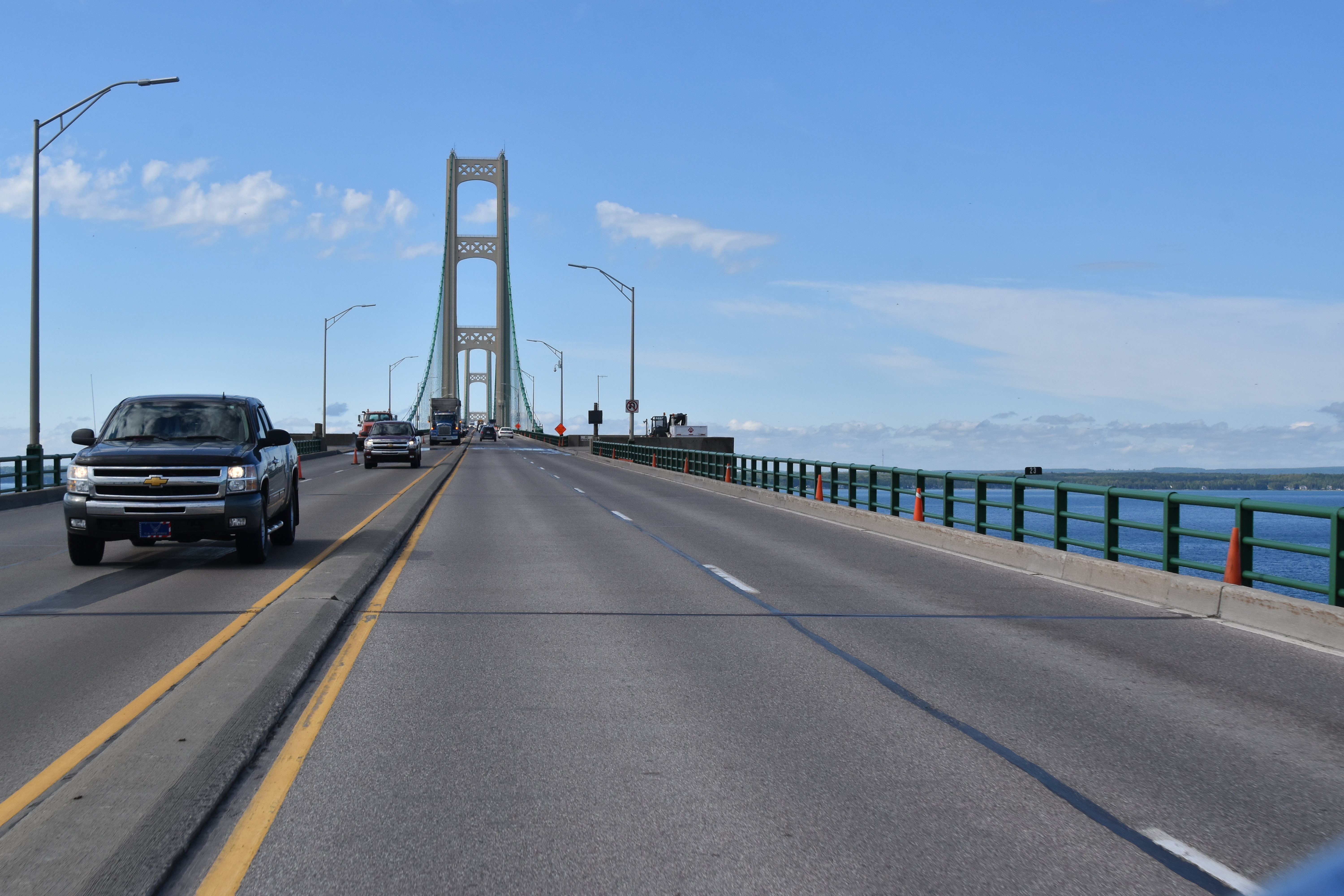


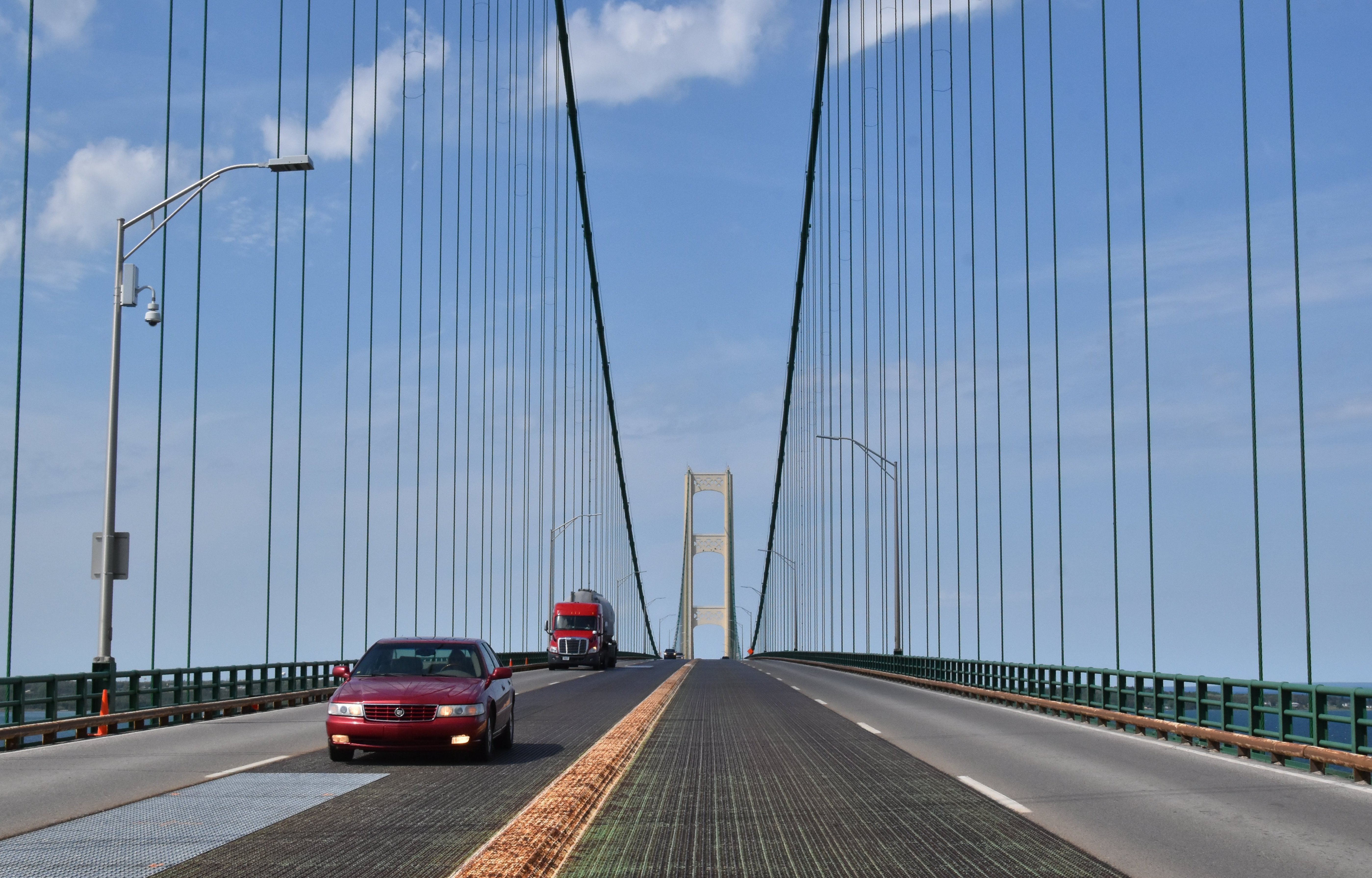
Driving southbound on northern approach.
![]()
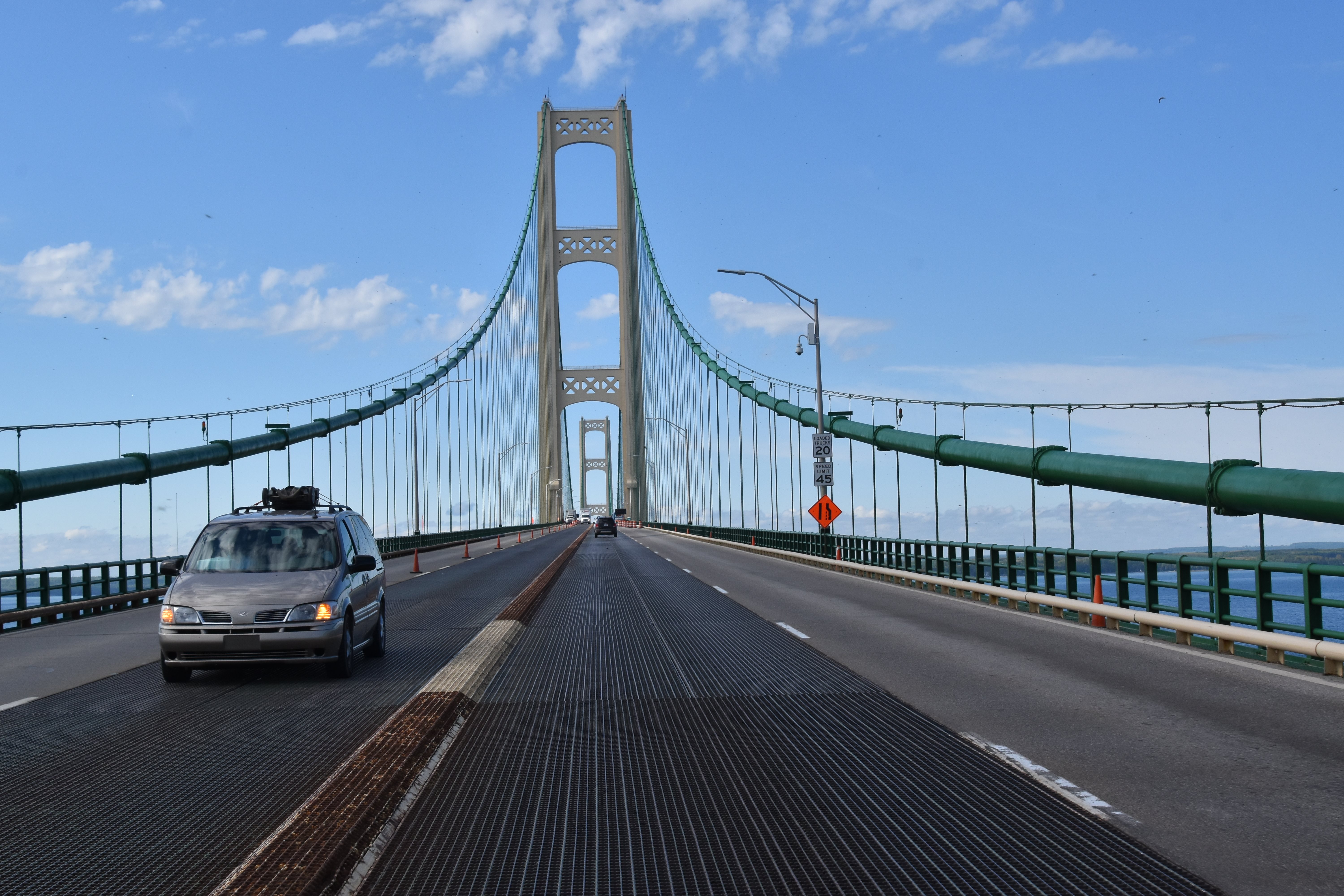

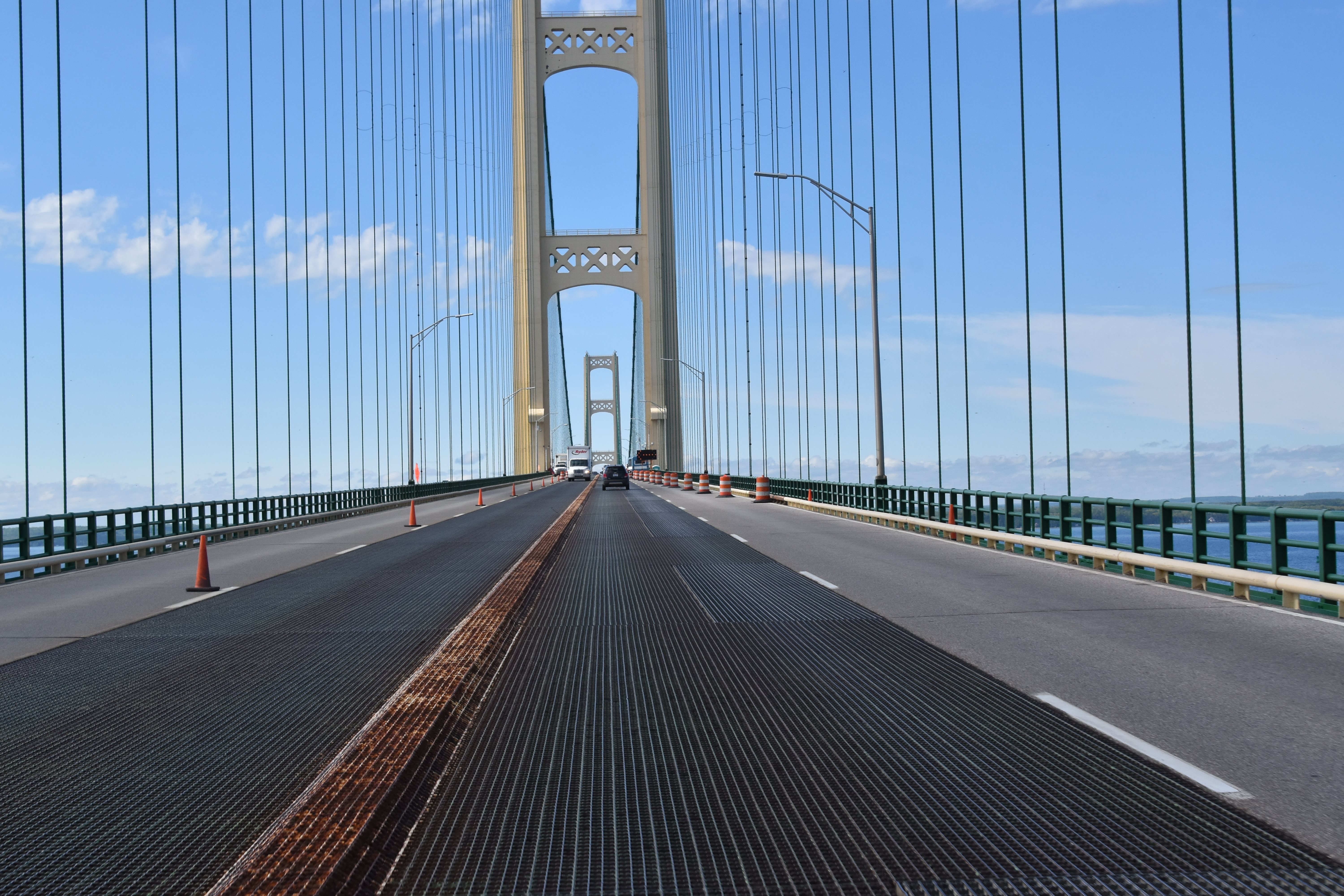


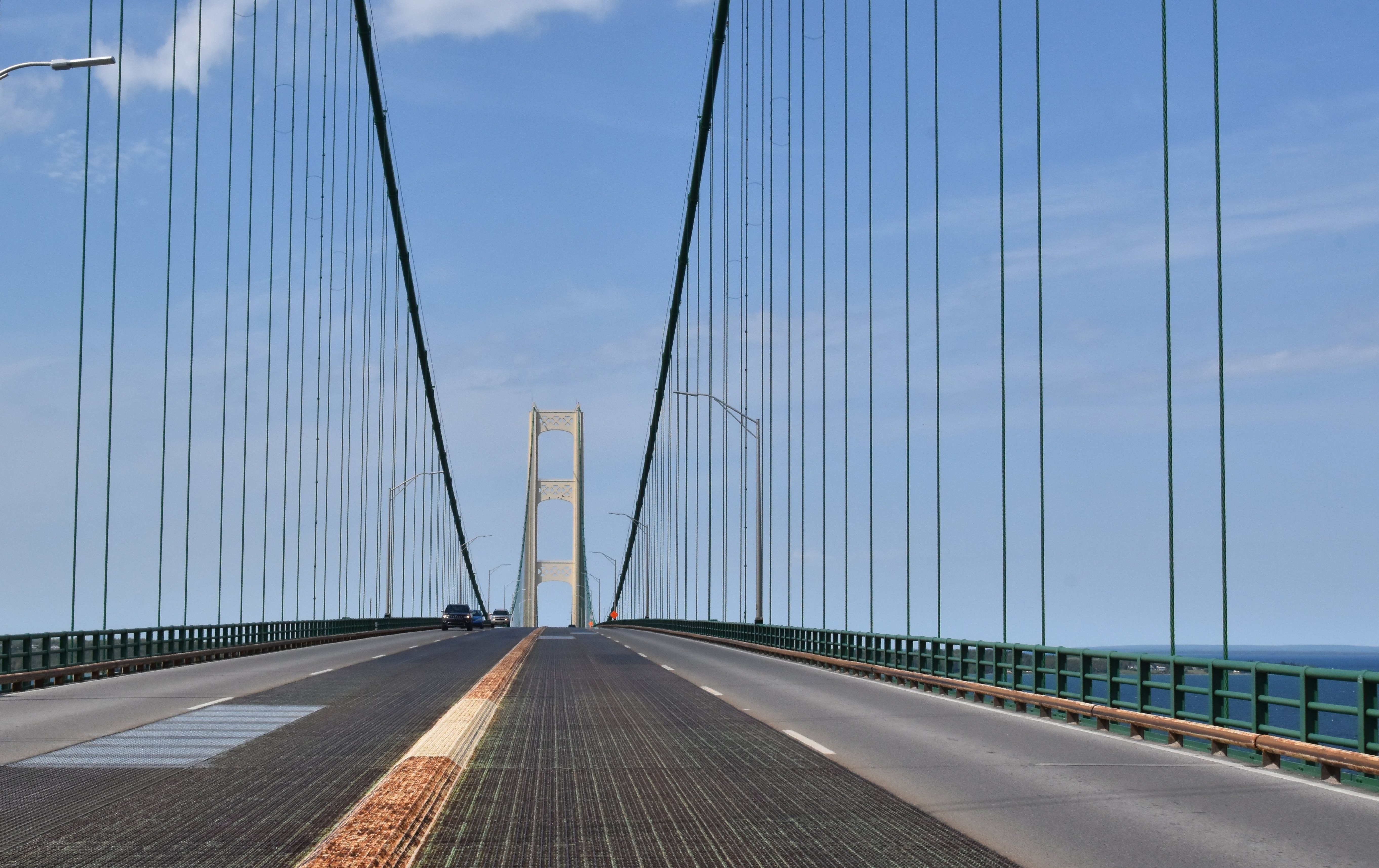
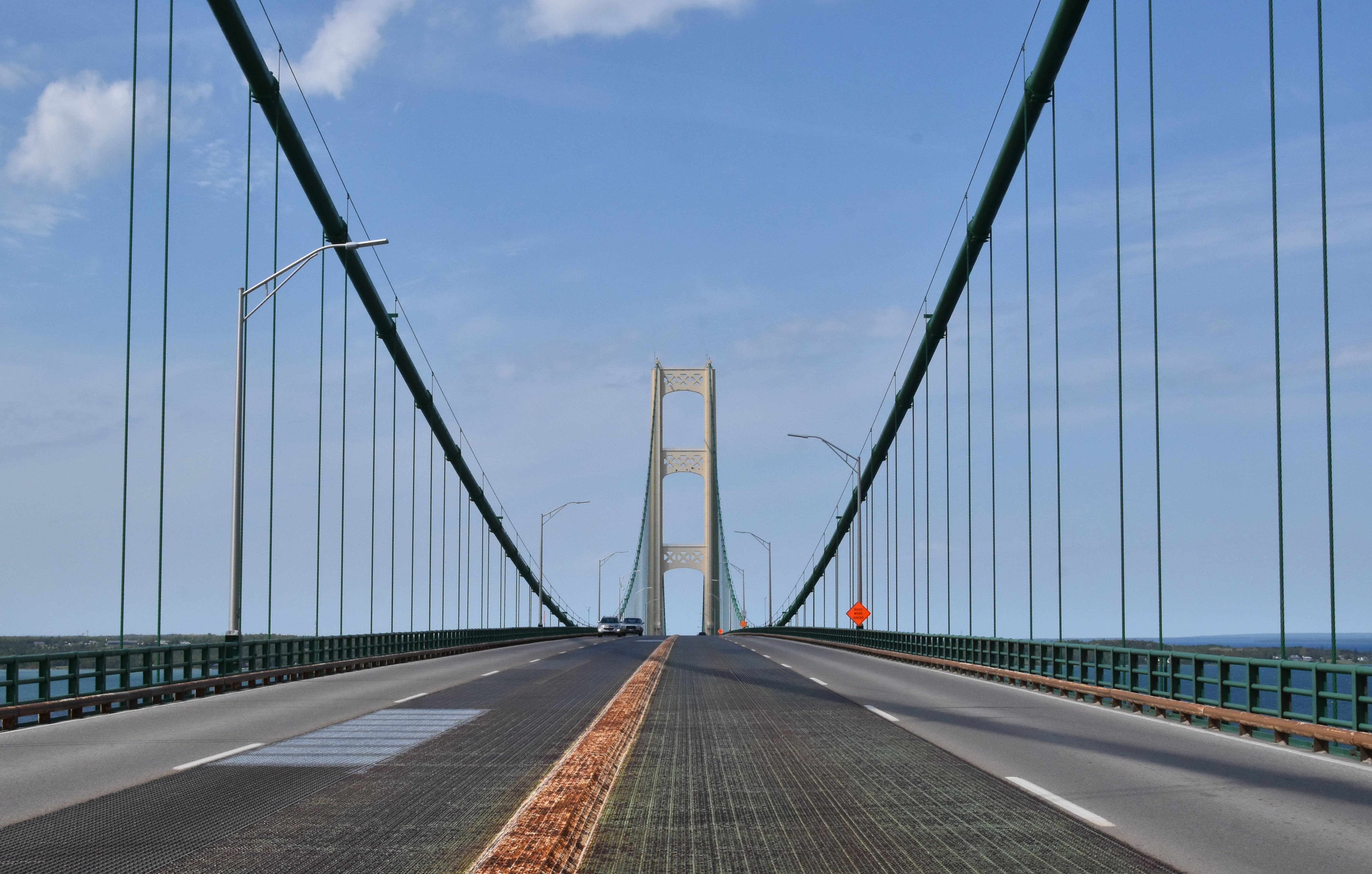
Driving southbound on suspension spans.
![]()
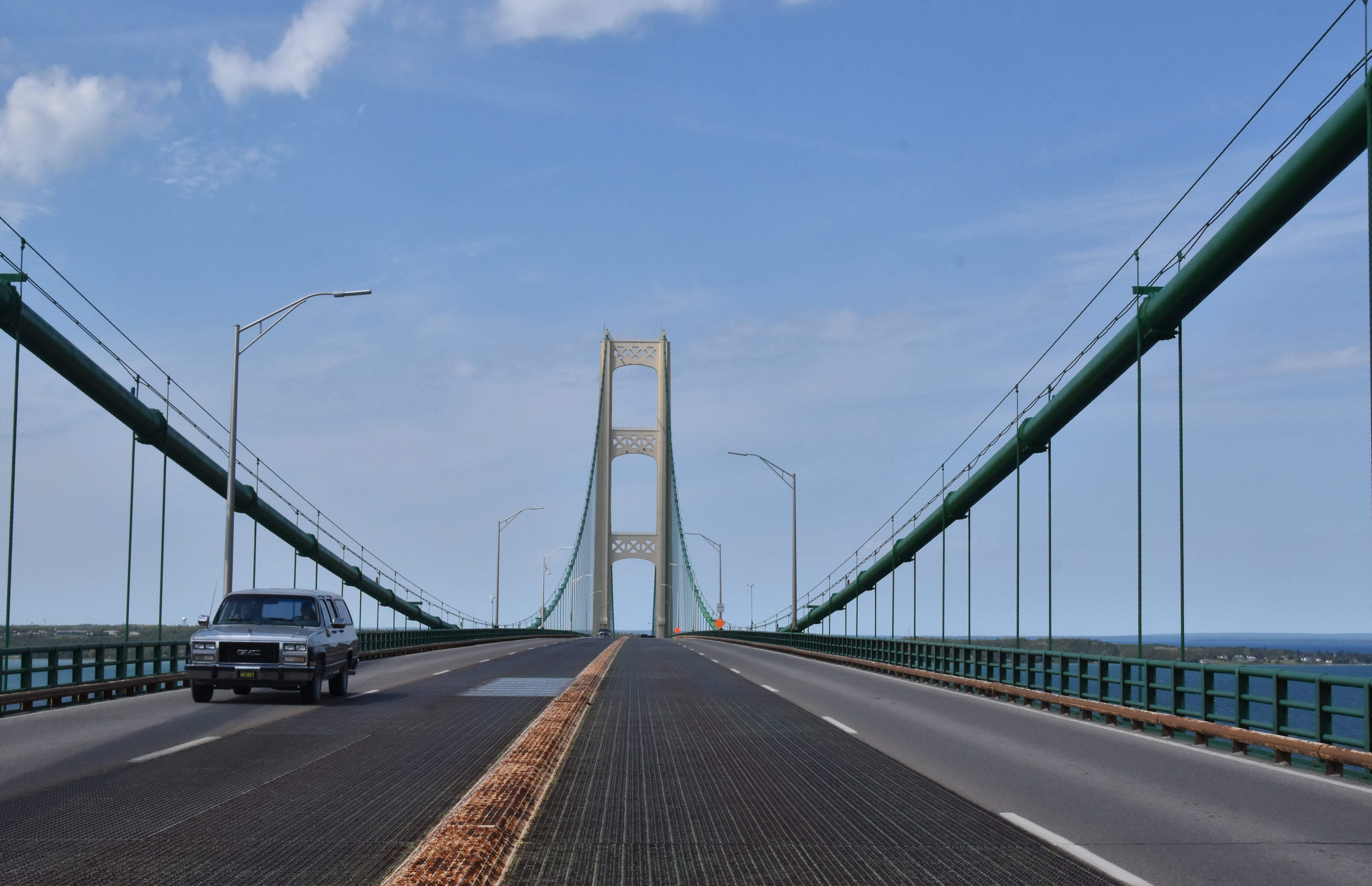
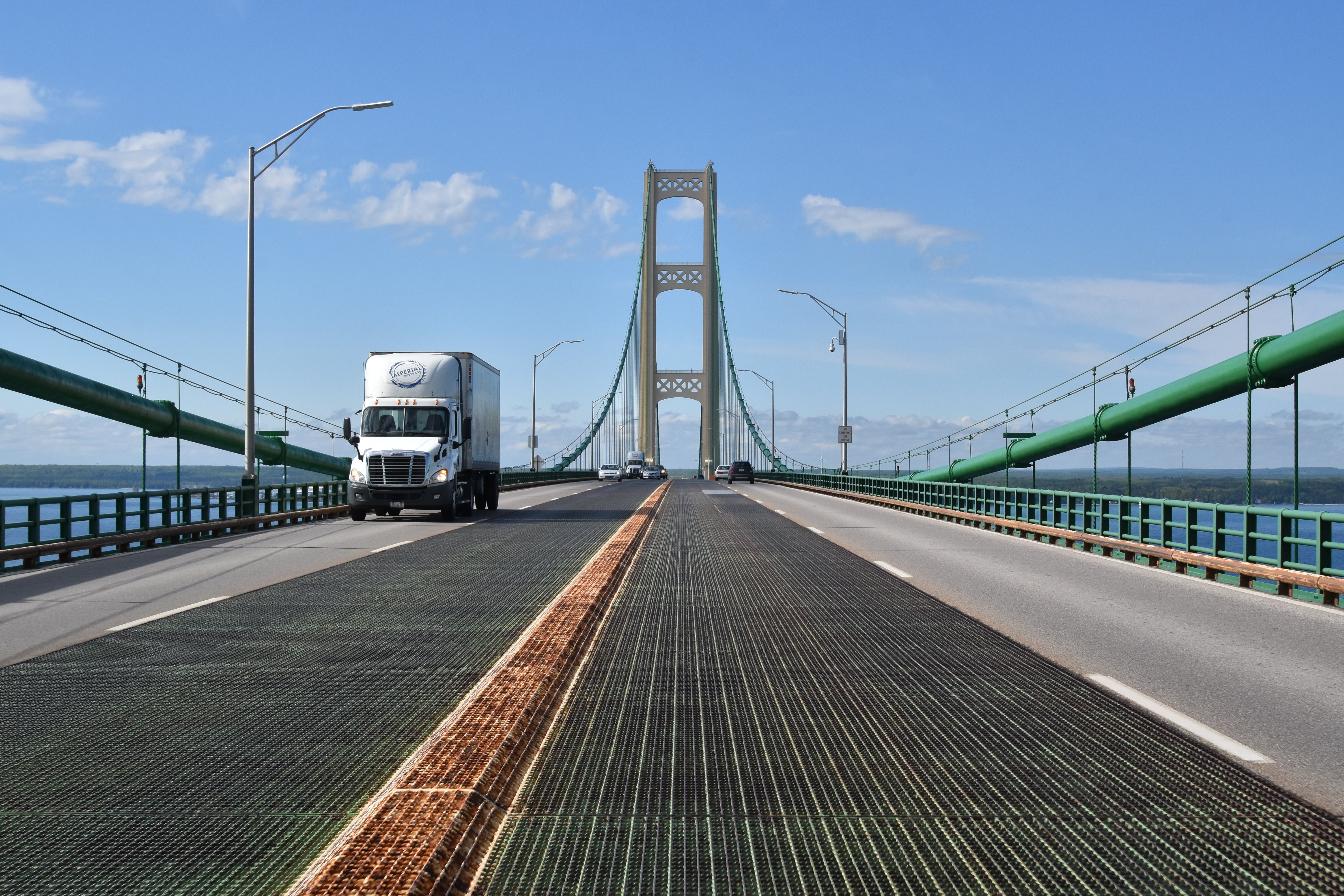
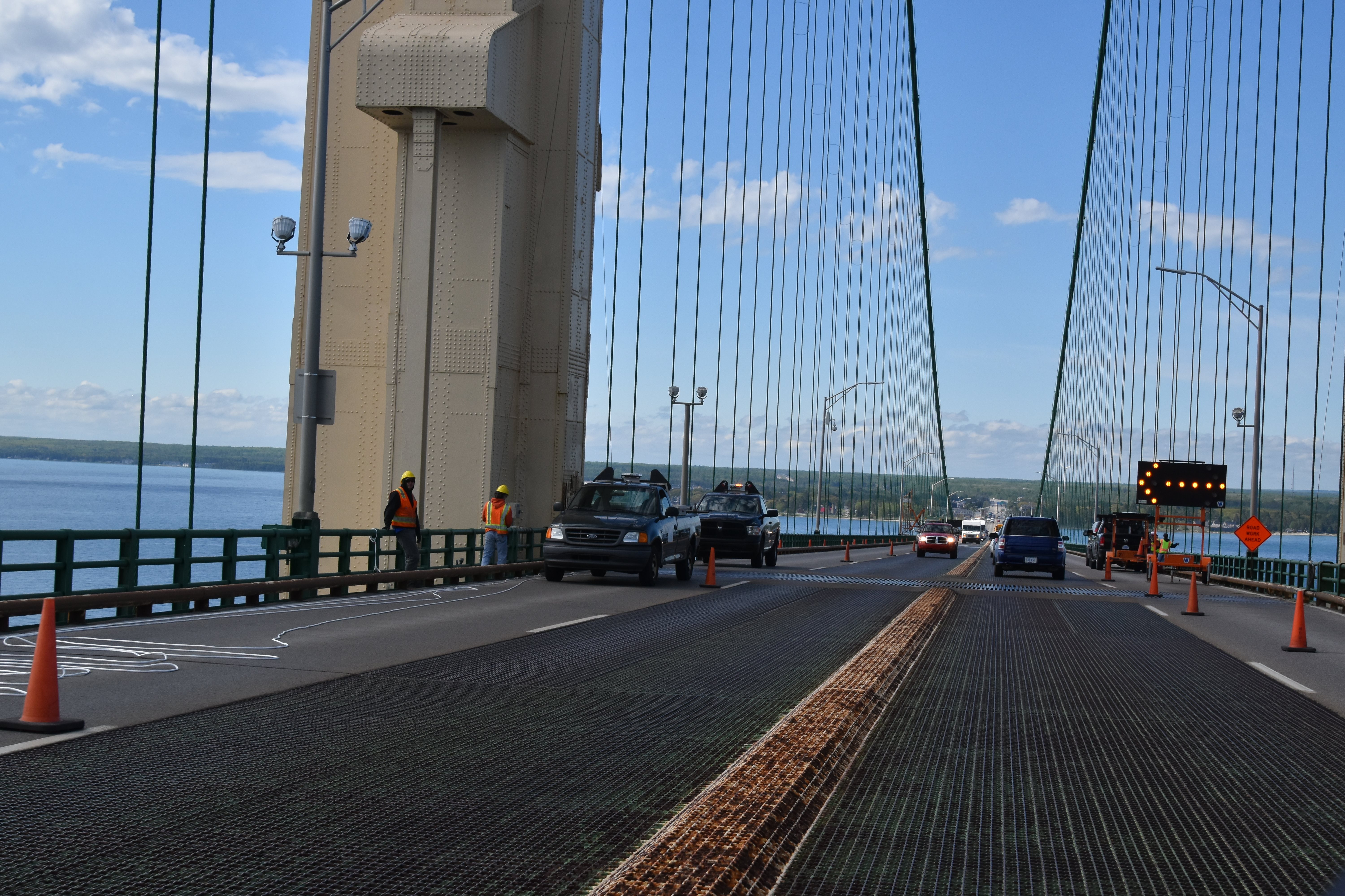
Driving northbound on suspension spans.
![]()
Driving northbound on southern approach.
![]()


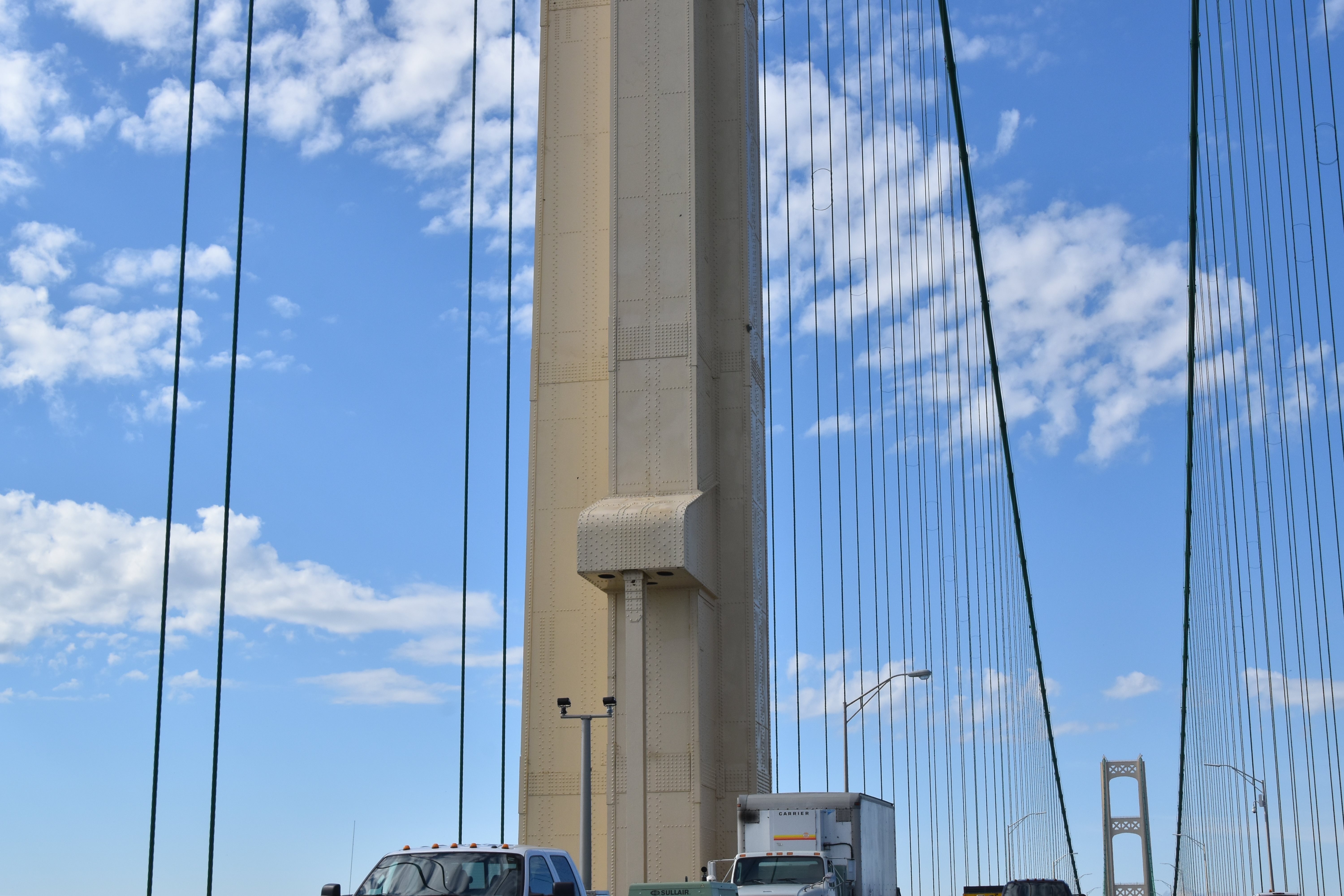


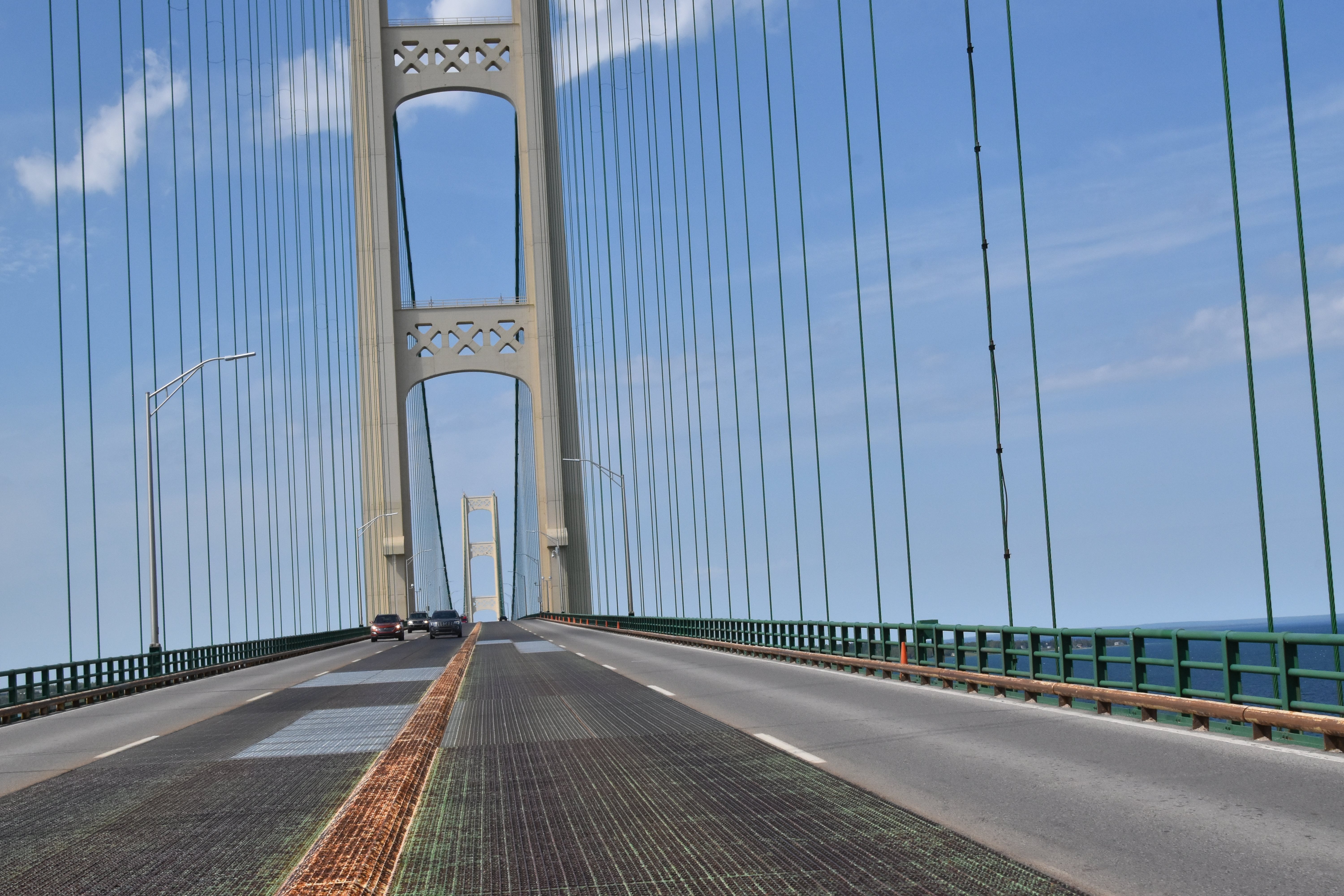
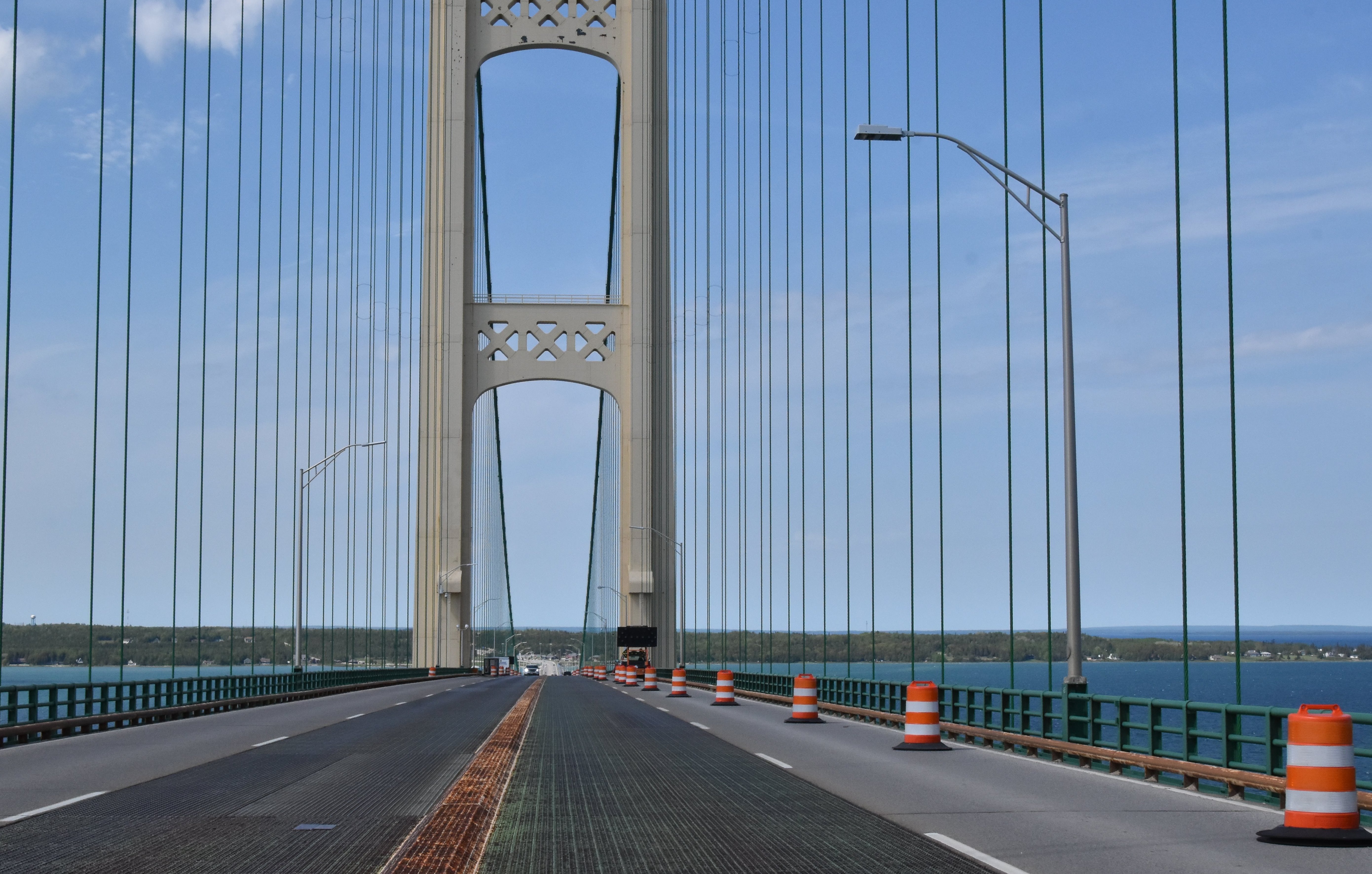
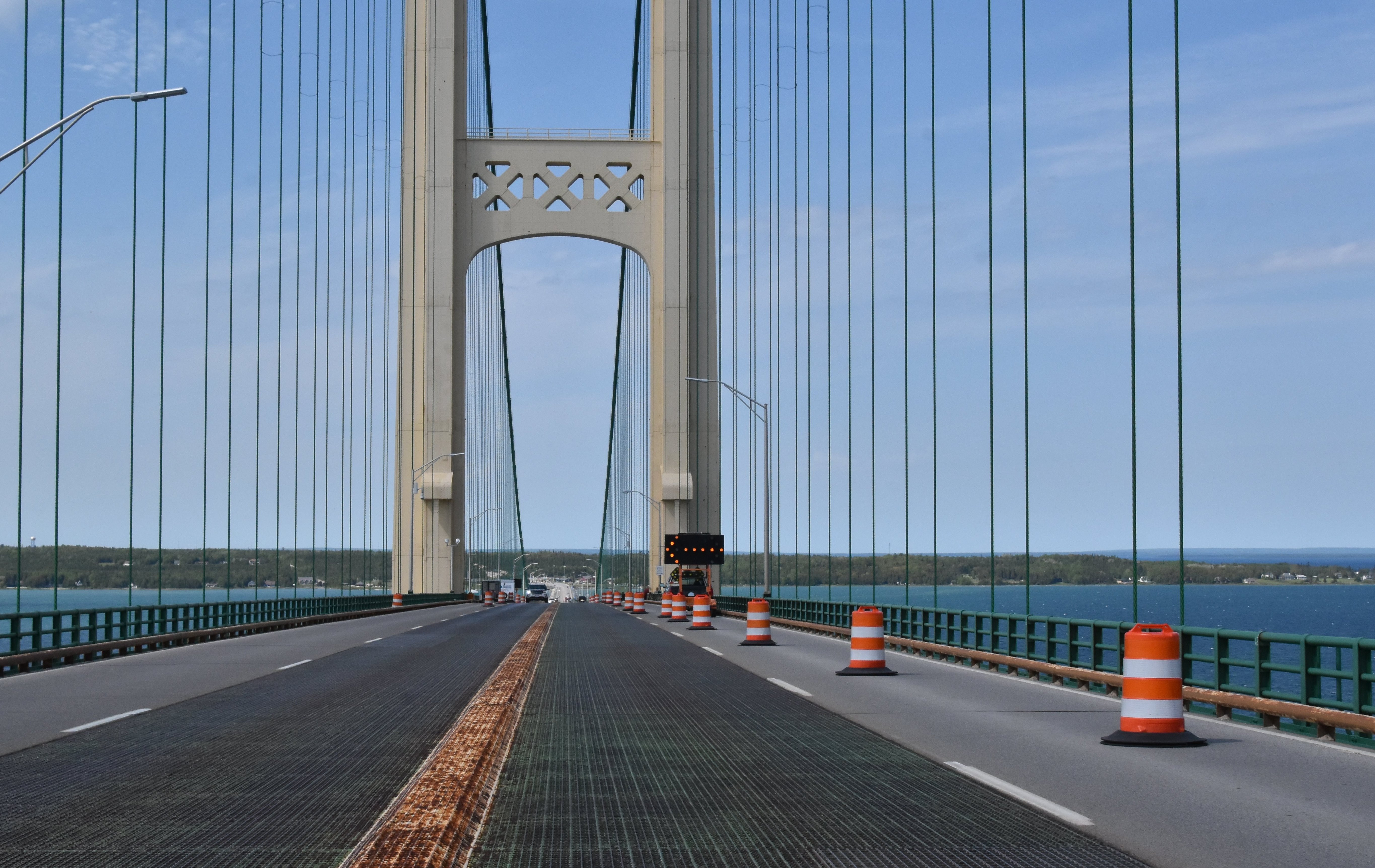
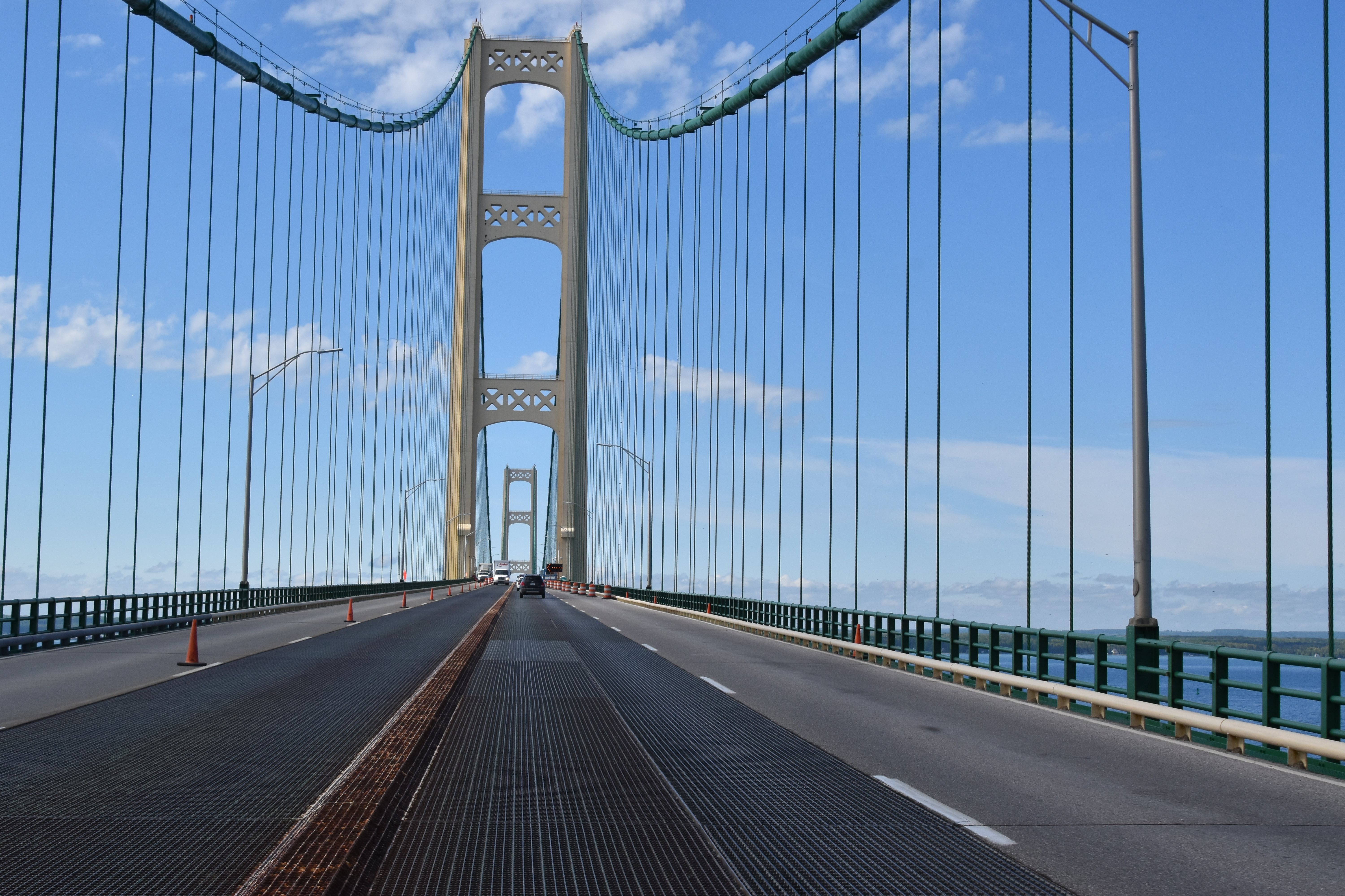
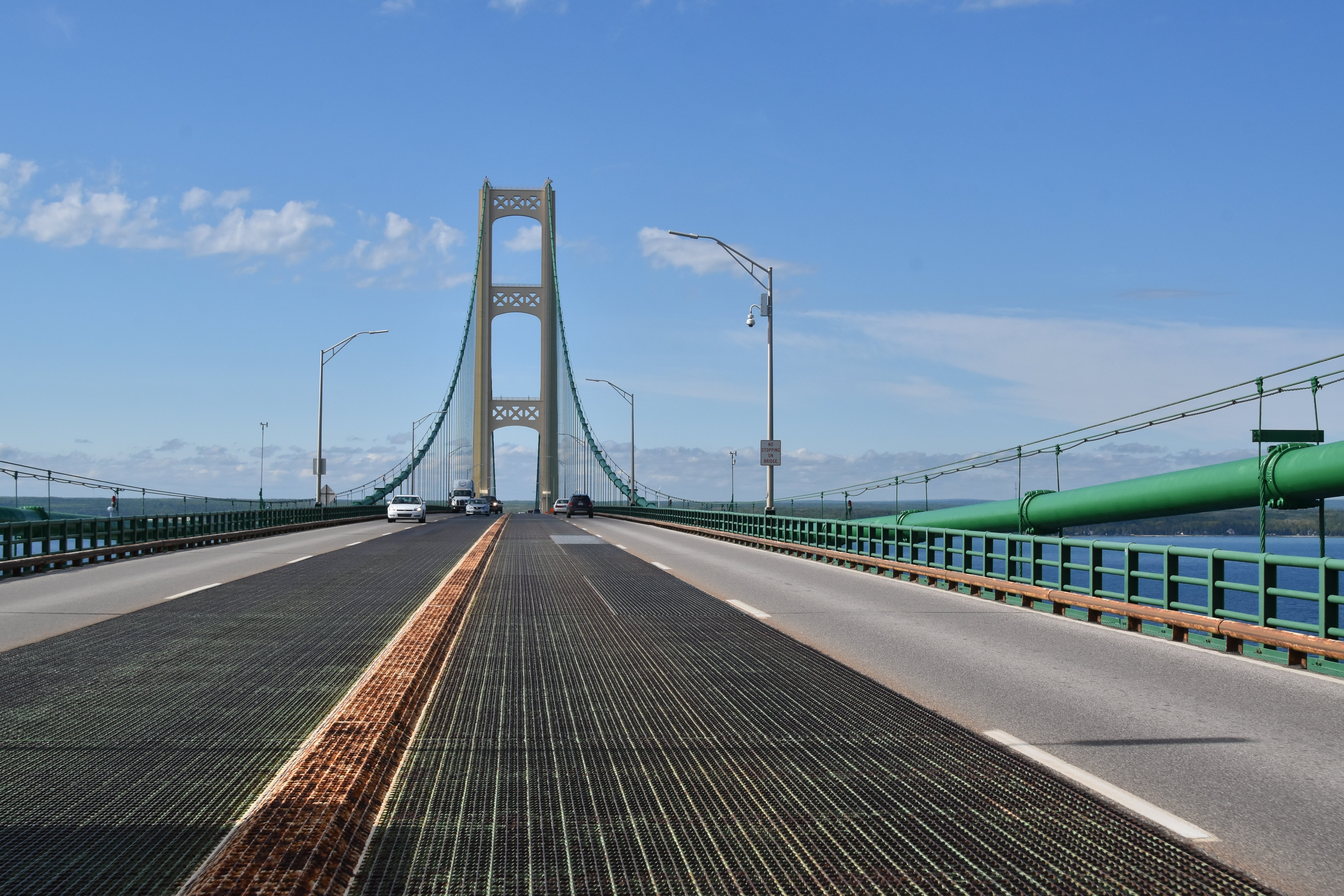
Towers as seen driving on bridge.
![]()


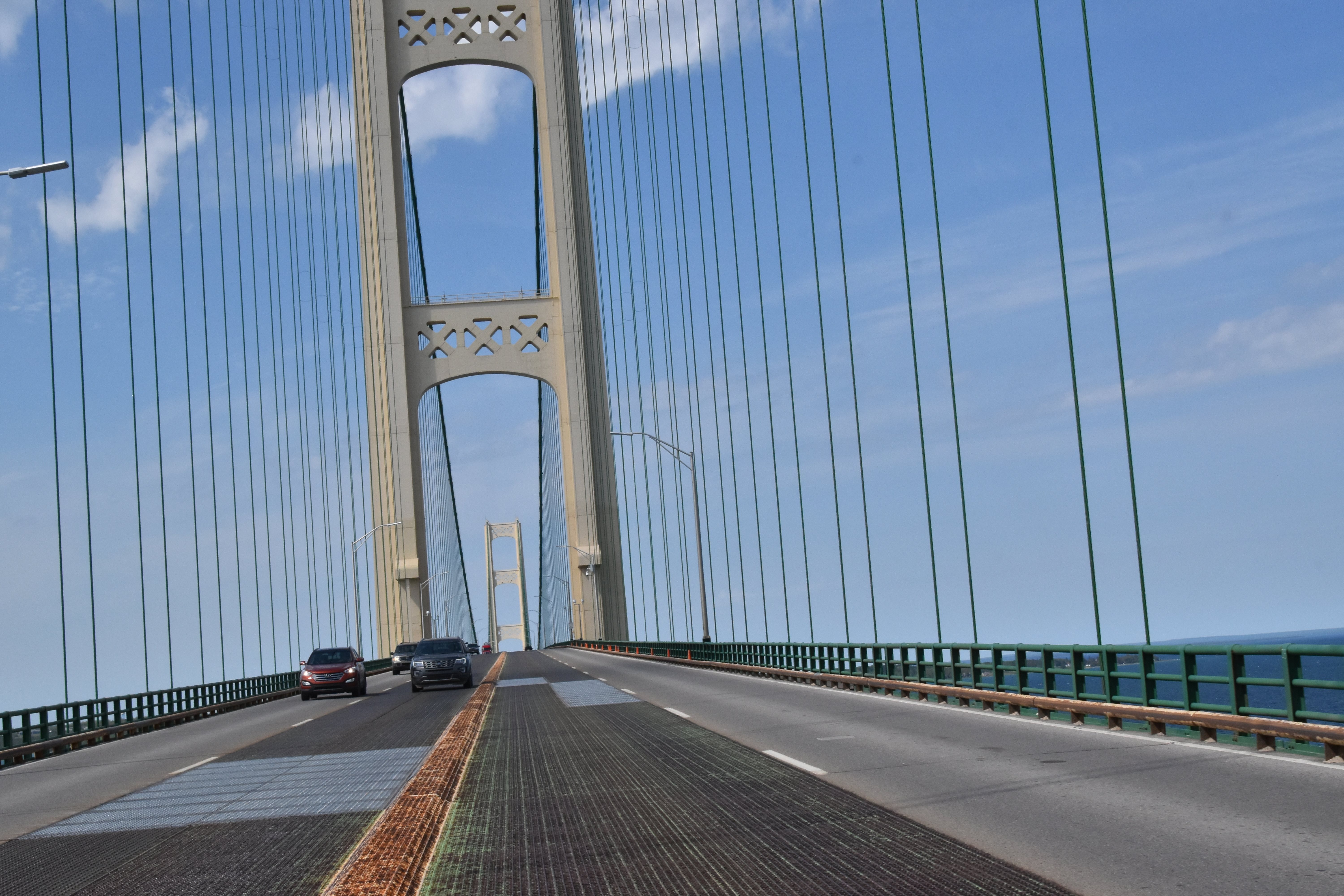
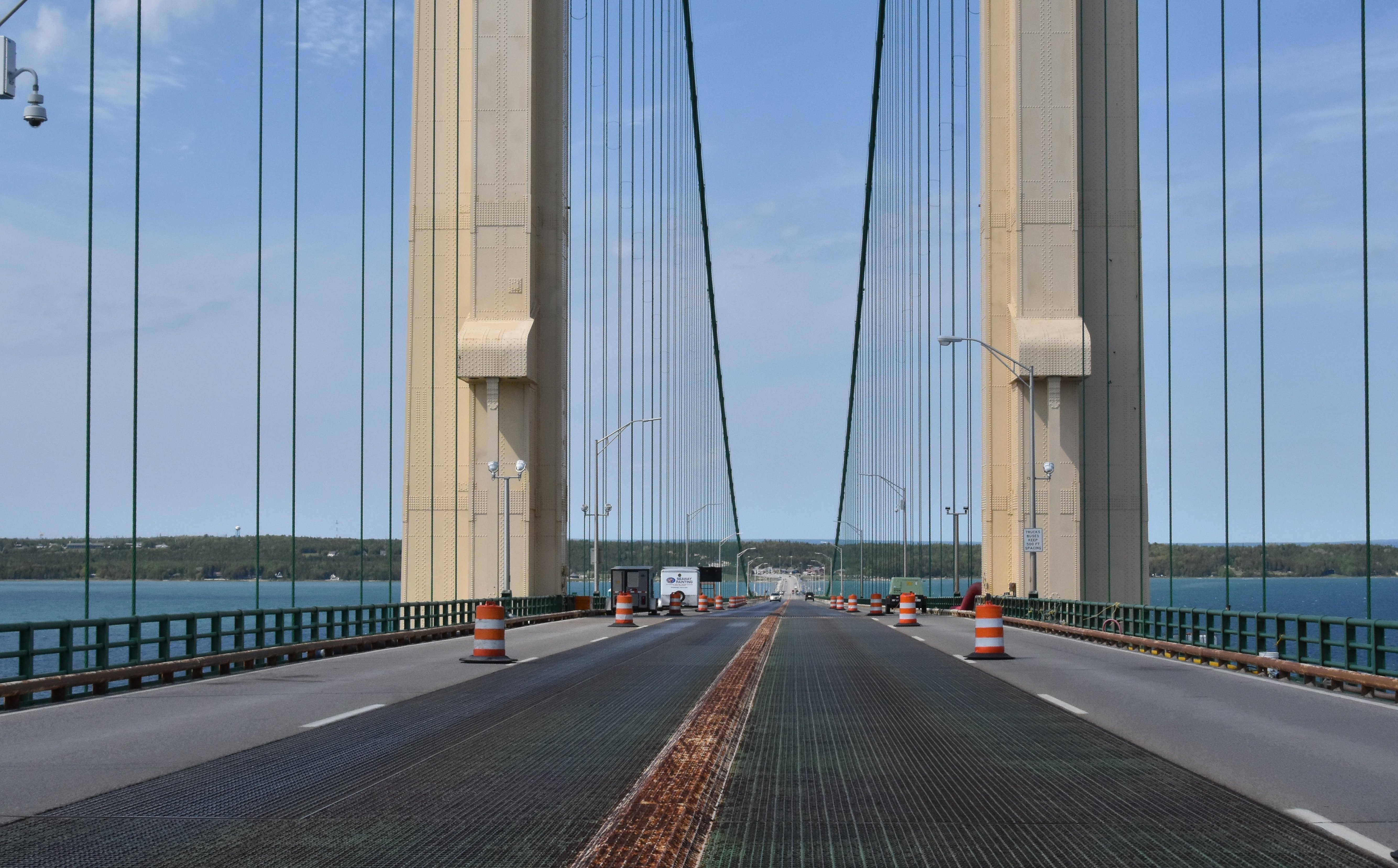
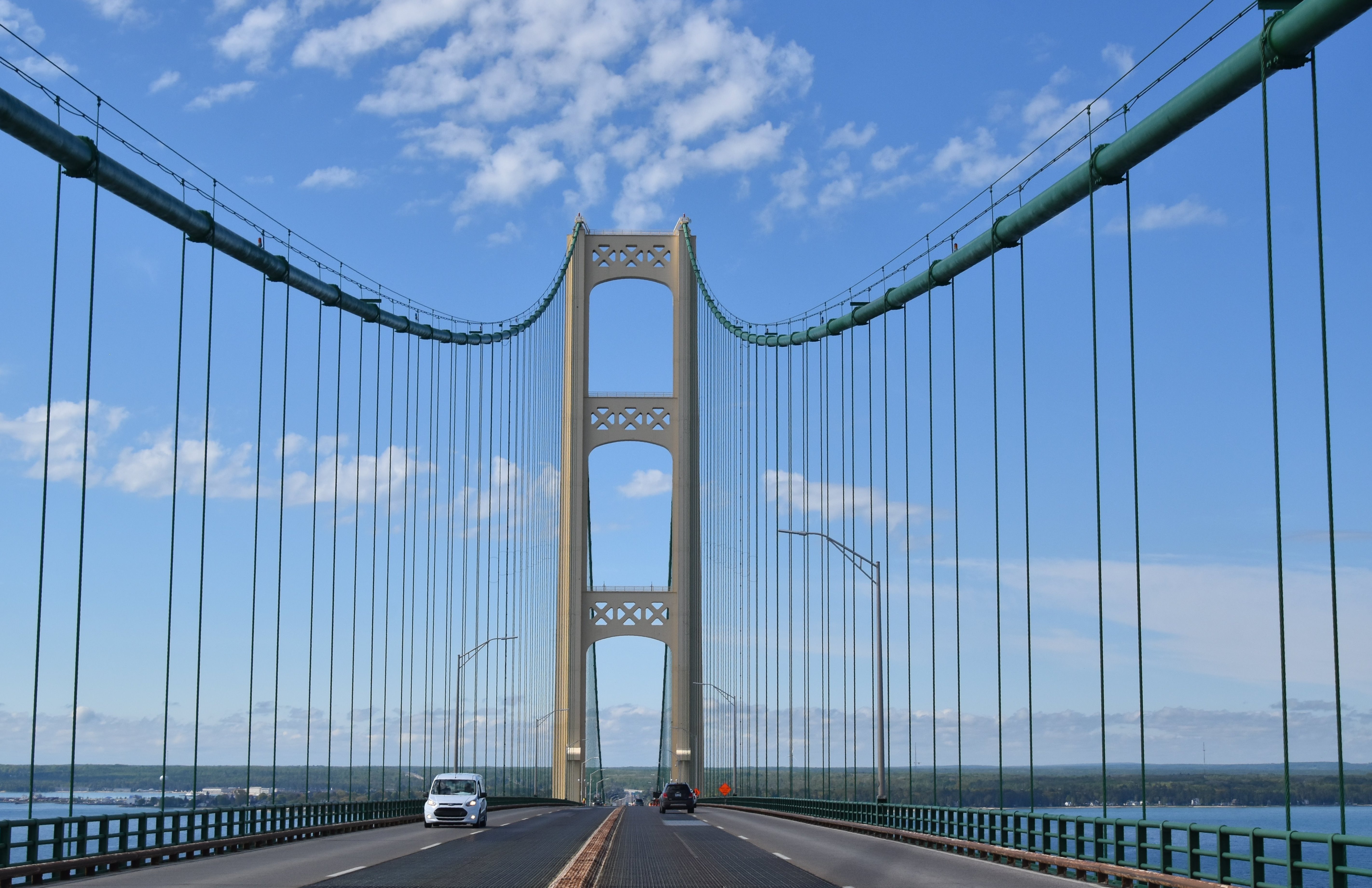
Cables and suspenders as seen while driving on bridge.
![]()

Anchorage as seen on bridge deck.
![]()
![]()
| Back |
| Home |
| Top |

![]()