HistoricBridges.org Menu: HistoricBridges.org Menu:


HistoricBridges.org: Bridge Browser

Map: Hudson Bridge

Google Map: (More Links and Maps Below)

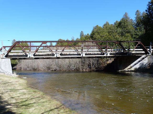
Location: 10th Sideroad SDR Over Beatty Saugeen River In West Grey: Grey County, Ontario, Canada
Latitude: 44.131520 Longitude: -80.972650 ( 44.131520,-80.972650 )

View Bridge Location In:


Android: Open Location In Your Map or GPS App

Google Maps

Google Streetview (If Available)

Bing Maps

ACME Mapper

OpenStreetMap

Google Earth (KML File)

Flickr Gallery (Find Nearby Photos)

Directions Via Sygic For Android

Directions Via Sygic For iOS and Android Dolphin Browser

MapQuest

HERE We Go Maps

ACME Mapper

Historical USGS Topo Maps (United States Only)

CalTopo Maps (United States Only)

Ordnance Survey Maps (UK Only)

GeoHack Map Links (Enter 44.131520 For Latitude and -80.972650 For Longitude)

Hudson Bridge

Divider

Back
Home
Top

Divider

About - Contact

Divider