

View Information About HSR Ratings
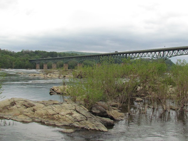
This is a large and very beautiful deck truss noted for its attractive trusses, piers, and railings, and lack of alteration. The overall truss design is similar to the state's design for a Wichert deck truss, but (perhaps as a later constructed bridge) the Wichert hinges were not included in this bridge, vertical members were added directly above the bearings, and it is instead a true continuous truss, with several spans forming each continuous unit. There are four continuous truss units on the bridge. With the exception of the bearing verticals, the Warren trusses do not feature any verticals in the configuration.
Since the Wichert truss was designed as a simpler way to produce a continuous truss, as engineers became more familiar with continuous truss design, the need for a Wichert truss likely became obsolete, leading to it being dropped from the design of bridges like this one.
The substructure for this bridge was built before the war, ca 1942. When World War II broke out, the superstructure contract was canceled, and a new contract to Bethlehem Steel was awarded ca. 1945 to complete the steel superstructure.
This bridge is tagged with the following special condition(s): Unorganized Photos
![]()
![]()
![]()
Coordinates (Latitude, Longitude):
Search For Additional Bridge Listings:
Bridgehunter.com: View listed bridges within 0.5 miles (0.8 kilometers) of this bridge.
Bridgehunter.com: View listed bridges within 10 miles (16 kilometers) of this bridge.
Additional Maps:
Google Streetview (If Available)
GeoHack (Additional Links and Coordinates)
Apple Maps (Via DuckDuckGo Search)
Apple Maps (Apple devices only)
Android: Open Location In Your Map or GPS App
Flickr Gallery (Find Nearby Photos)
Wikimedia Commons (Find Nearby Photos)
Directions Via Sygic For Android
Directions Via Sygic For iOS and Android Dolphin Browser
USGS National Map (United States Only)
Historical USGS Topo Maps (United States Only)
Historic Aerials (United States Only)
CalTopo Maps (United States Only)

© Copyright 2003-2026, HistoricBridges.org. All Rights Reserved. Disclaimer: HistoricBridges.org is a volunteer group of private citizens. HistoricBridges.org is NOT a government agency, does not represent or work with any governmental agencies, nor is it in any way associated with any government agency or any non-profit organization. While we strive for accuracy in our factual content, HistoricBridges.org offers no guarantee of accuracy. Information is provided "as is" without warranty of any kind, either expressed or implied. Information could include technical inaccuracies or errors of omission. Opinions and commentary are the opinions of the respective HistoricBridges.org member who made them and do not necessarily represent the views of anyone else, including any outside photographers whose images may appear on the page in which the commentary appears. HistoricBridges.org does not bear any responsibility for any consequences resulting from the use of this or any other HistoricBridges.org information. Owners and users of bridges have the responsibility of correctly following all applicable laws, rules, and regulations, regardless of any HistoricBridges.org information.
![]()