

View Information About HSR Ratings
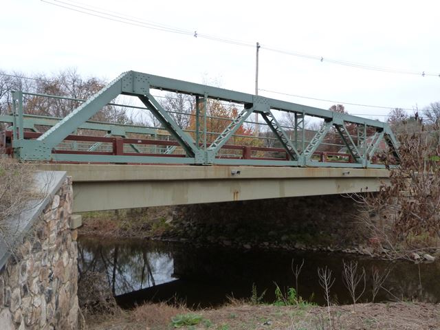
This is one of two similar bridges on this road that originally was a historic riveted pony truss and was replaced with a modern bridge. However, the historic truss lines were salvaged and placed on the new bridges as decorative elements. While this cannot be described as historic bridge preservation, this type of work is an outstanding example of Section 106 mitigation for demolition and replacement of a historic bridge, because this form of mitigation preserves a substantial amount of the original materials and original appearance of the replaced historic bridge.
Information and Findings From New Jersey's Historic Bridge InventorySummary The 4-panel Warren with verticals pony truss of riveted construction bears on concrete abutments with stone wingwalls. The use of heavy box sections in the design is an example of a secondary stress design. Floorbeams are riveted to angles which are riveted to the gusset plates at the lower panel points. The pipe railings are original. There are some welded repairs. The bridge is a noteworthy example of the work of local fabricator The Dover Boiler Works that was active until at least 1919. Setting/Context The bridge carries one lane of a quiet country road over a minor stream in a wooded rural setting, adjacent to a plant nursery. Physical Description The four panel, 65'-long, Warren with verticals pony truss bridge of riveted construction is supported on concrete abutments. The top chord and inclined end posts are built-up box members composed of channels, toe in, with riveted cover plate on the top and lacing on the underside. Verticals are composed of angles with lacing as are the interior diagonals. The bottom chord is plate riveted at the panel points to square gusset plates. The floor beams are attached to the panel points by riveted angle hangers. The pipe railing on the bridge and one approach is original. The bridge has a concrete deck. Modifications to the original design are minimal, limited primarily to small welded repairs and concrete reinforcement. Historical and Technological Significance In addition to being technologically distinguished as a notable representative example of a riveted Warren pony truss bridge, the 1914 span is historically significant as a well-preserved example of the work of The Dover Boiler Works. The Dover, New Jersey firm is documented as having begun fabrication of bridges in 1901 (Darnell, 32), and they continued building truss bridges in Hunterdon, Somerset, and Morris counties through at least 1919. The riveted Warren pony truss was one of the most common bridge types in this country during the last decade of the 19th and first three decades of the 20th centuries. The Warren pony truss bridge is well represented in Hunterdon county where 25 dating from the 20th century survive. This example was evaluated as a significant representative example because of its state of preservation, integrity of setting, and historical association with a local fabricator. Boundary Description and Justification The span is located on an unspoiled country road. It is individually distinguished, so the significant boundary is limited to the span itself. Sources Hunterdon County Engineer's Office, Bridge Card E239. Hunterdon County Master Plan: Sites of Historic Interest. 1979. Bridge Considered Historic By Survey: Yes |
This bridge is tagged with the following special condition(s): Trusses Converted To Decorative
![]()
![]()
![]()
Coordinates (Latitude, Longitude):
Search For Additional Bridge Listings:
Bridgehunter.com: View listed bridges within 0.5 miles (0.8 kilometers) of this bridge.
Bridgehunter.com: View listed bridges within 10 miles (16 kilometers) of this bridge.
Additional Maps:
Google Streetview (If Available)
GeoHack (Additional Links and Coordinates)
Apple Maps (Via DuckDuckGo Search)
Apple Maps (Apple devices only)
Android: Open Location In Your Map or GPS App
Flickr Gallery (Find Nearby Photos)
Wikimedia Commons (Find Nearby Photos)
Directions Via Sygic For Android
Directions Via Sygic For iOS and Android Dolphin Browser
USGS National Map (United States Only)
Historical USGS Topo Maps (United States Only)
Historic Aerials (United States Only)
CalTopo Maps (United States Only)

© Copyright 2003-2024, HistoricBridges.org. All Rights Reserved. Disclaimer: HistoricBridges.org is a volunteer group of private citizens. HistoricBridges.org is NOT a government agency, does not represent or work with any governmental agencies, nor is it in any way associated with any government agency or any non-profit organization. While we strive for accuracy in our factual content, HistoricBridges.org offers no guarantee of accuracy. Information is provided "as is" without warranty of any kind, either expressed or implied. Information could include technical inaccuracies or errors of omission. Opinions and commentary are the opinions of the respective HistoricBridges.org member who made them and do not necessarily represent the views of anyone else, including any outside photographers whose images may appear on the page in which the commentary appears. HistoricBridges.org does not bear any responsibility for any consequences resulting from the use of this or any other HistoricBridges.org information. Owners and users of bridges have the responsibility of correctly following all applicable laws, rules, and regulations, regardless of any HistoricBridges.org information.
![]()