

View Information About HSR Ratings
This overpass is noted for its riveted, arched, built-up beam design.
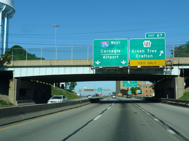
Information and Findings From Pennsylvania's Historic Bridge InventoryDiscussion of Bridge The 3 span, 142'-long, steel stringer bridge built in 1950 is supported on concrete abutments and concrete bents. The center span has haunched built up stringers, and the approach spans have rolled section stringers. The bridge has a longitudinal joint due to its width. The deck and safety shape parapets were placed in 1977. The bridge is an example of a common bridge type with no individually distinctive or noteworthy details. Its significance is in historic association and physical connection with the Penn Lincoln Parkway, a nationally outstanding post-WW II urban expressway project. The parkway and its associated structures are historically and technologically significant. Discussion of Surrounding Area The bridge carries 4 lanes of traffic and 2 sidewalks over 4 lanes of traffic in an area of post-WW II commercial strip development. The Penn Lincoln Parkway (1946-1960) is an important engineering achievement that is an outstanding example of post-WW II urban expressway planning and design. It required innovative engineering solutions, including the construction of more than 60 bridges, 2 major tunnels, complex interchanges, and the relocation of existing streets and rail lines. It was the largest single project directed by the state highway department up to that time stretching over 19.5 miles in a general east-west direction from US 22 in Churchill to downtown and then west to SR 60 in Robinson Twp. The parkway was built in stages over a period of 14 years, mainly to spread out the huge expense. Bridge Considered Historic By Survey: Yes |
This bridge is tagged with the following special condition(s): Unorganized Photos
![]()
![]()
![]()
Coordinates (Latitude, Longitude):
Search For Additional Bridge Listings:
Bridgehunter.com: View listed bridges within 0.5 miles (0.8 kilometers) of this bridge.
Bridgehunter.com: View listed bridges within 10 miles (16 kilometers) of this bridge.
Additional Maps:
Google Streetview (If Available)
GeoHack (Additional Links and Coordinates)
Apple Maps (Via DuckDuckGo Search)
Apple Maps (Apple devices only)
Android: Open Location In Your Map or GPS App
Flickr Gallery (Find Nearby Photos)
Wikimedia Commons (Find Nearby Photos)
Directions Via Sygic For Android
Directions Via Sygic For iOS and Android Dolphin Browser
USGS National Map (United States Only)
Historical USGS Topo Maps (United States Only)
Historic Aerials (United States Only)
CalTopo Maps (United States Only)

© Copyright 2003-2024, HistoricBridges.org. All Rights Reserved. Disclaimer: HistoricBridges.org is a volunteer group of private citizens. HistoricBridges.org is NOT a government agency, does not represent or work with any governmental agencies, nor is it in any way associated with any government agency or any non-profit organization. While we strive for accuracy in our factual content, HistoricBridges.org offers no guarantee of accuracy. Information is provided "as is" without warranty of any kind, either expressed or implied. Information could include technical inaccuracies or errors of omission. Opinions and commentary are the opinions of the respective HistoricBridges.org member who made them and do not necessarily represent the views of anyone else, including any outside photographers whose images may appear on the page in which the commentary appears. HistoricBridges.org does not bear any responsibility for any consequences resulting from the use of this or any other HistoricBridges.org information. Owners and users of bridges have the responsibility of correctly following all applicable laws, rules, and regulations, regardless of any HistoricBridges.org information.
![]()