
Uncredited photos on this page taken by: Nathan Holth. Unless stated in a caption, all photos are Copyright with All Rights Reserved. Learn about reuse of our photos.
![]()
Original / Full Size
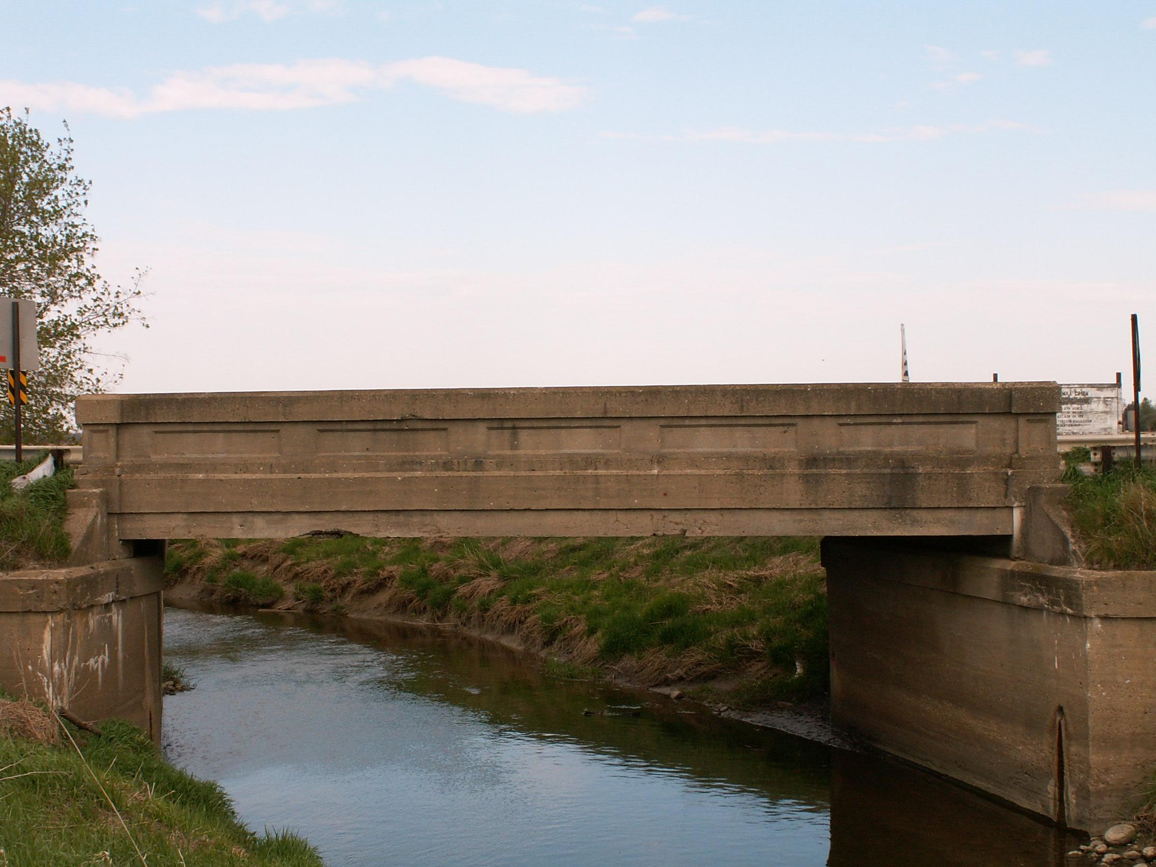
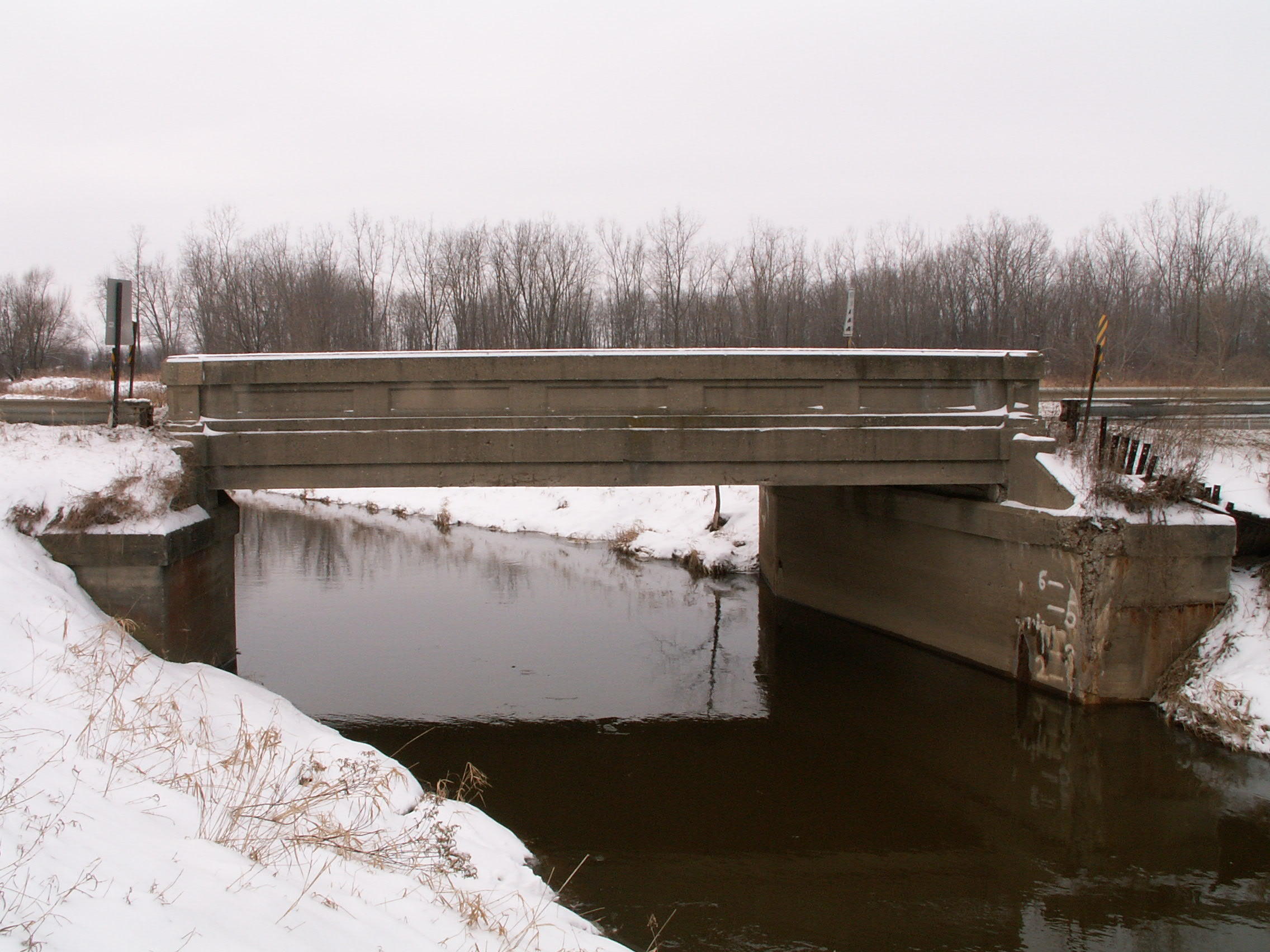
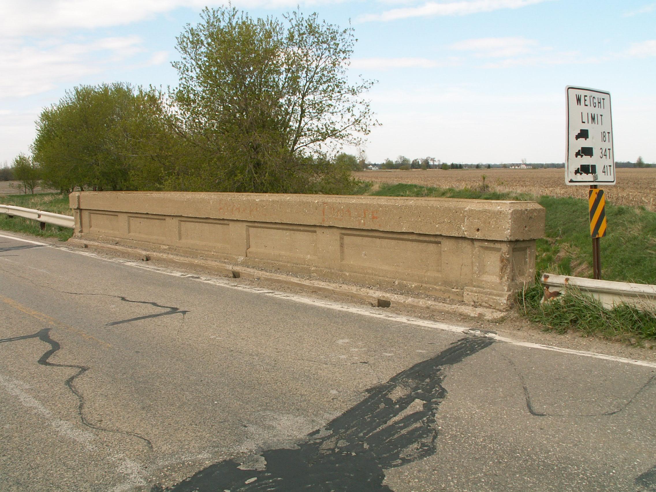
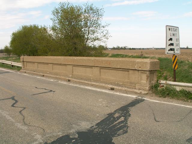
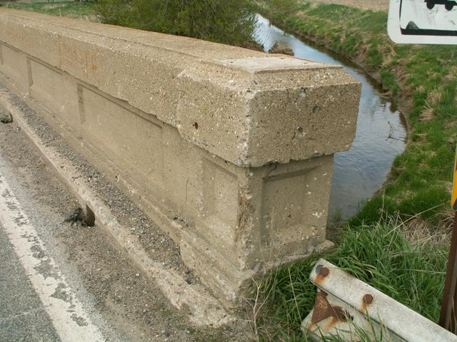
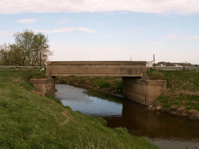
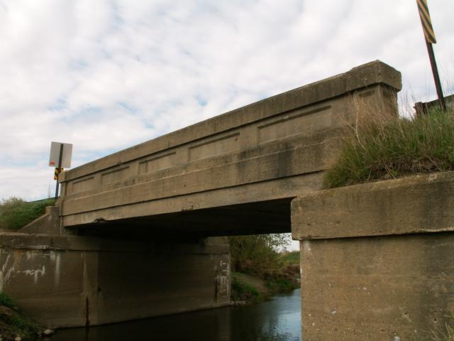
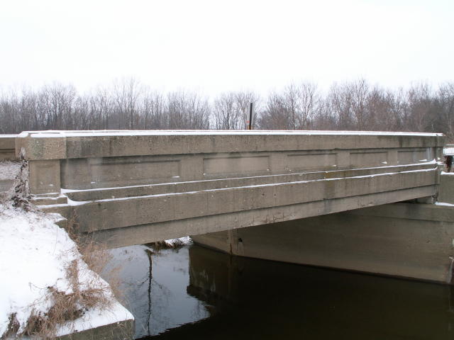
West elevation from northwest quadrant.
![]()

Original / Full Size
Views beside bridge from southwest quadrant.
![]()

Original / Full Size
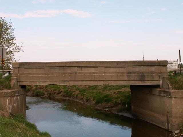
View beside bridge from southeast quadrant.
![]()
Original / Full Size
East elevation from southeast quadrant.
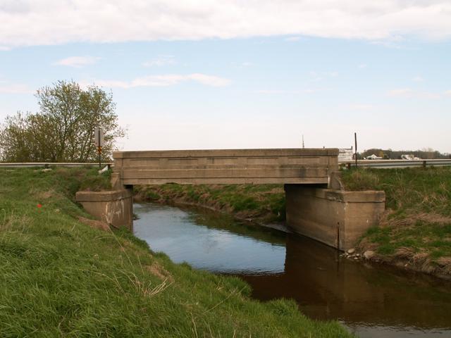
![]()
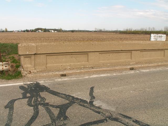
Original / Full Size
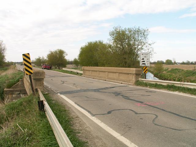
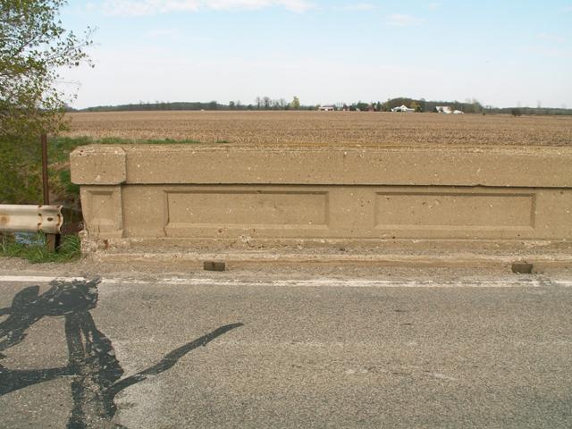
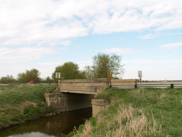
West elevation from Speaker Road west of the bridge.
![]()
Original / Full Size
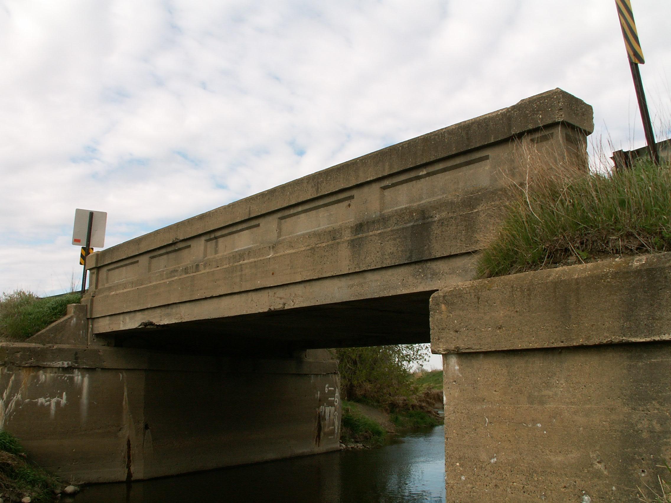
Portal view looking north.
![]()
Original / Full Size
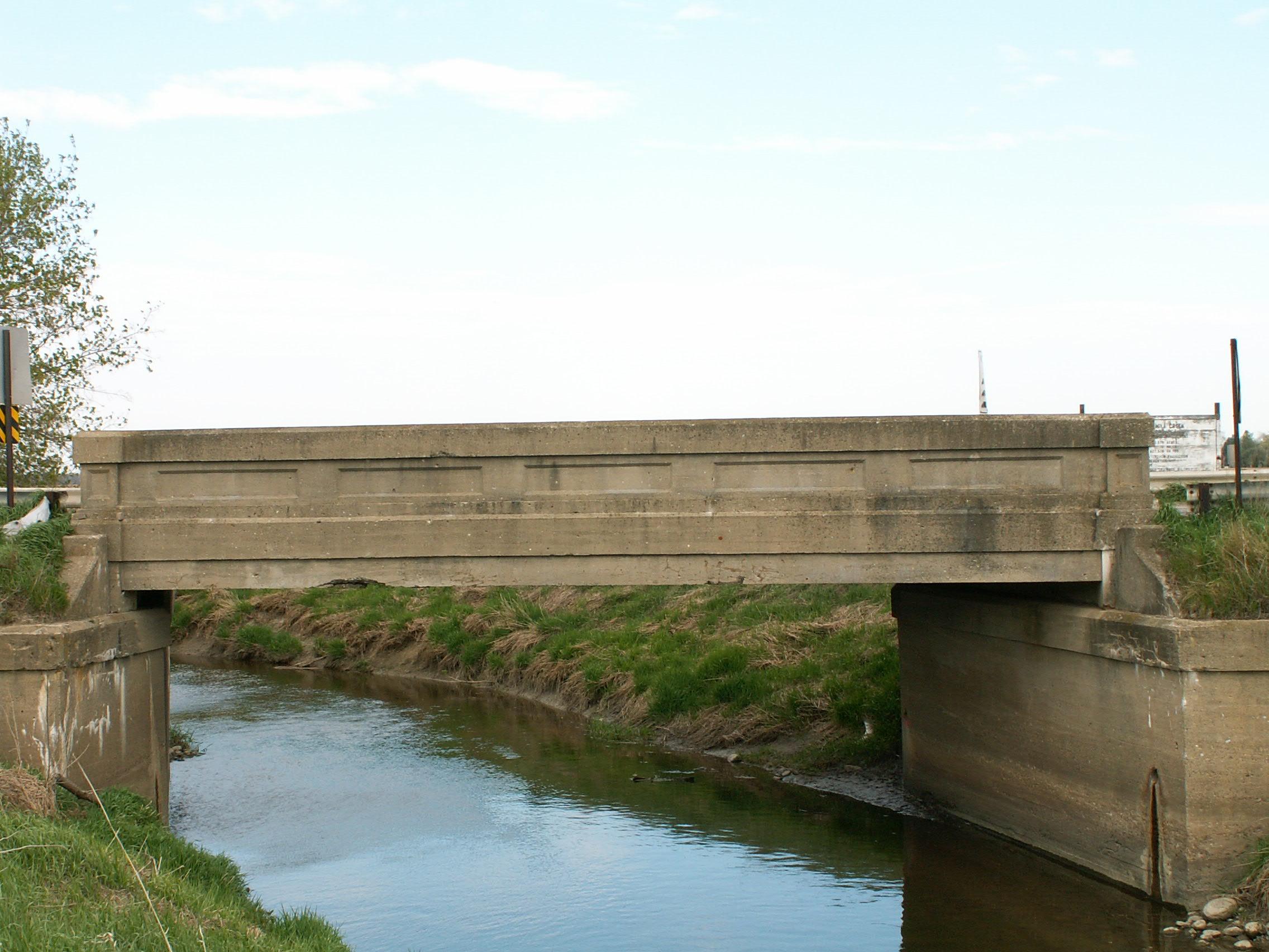
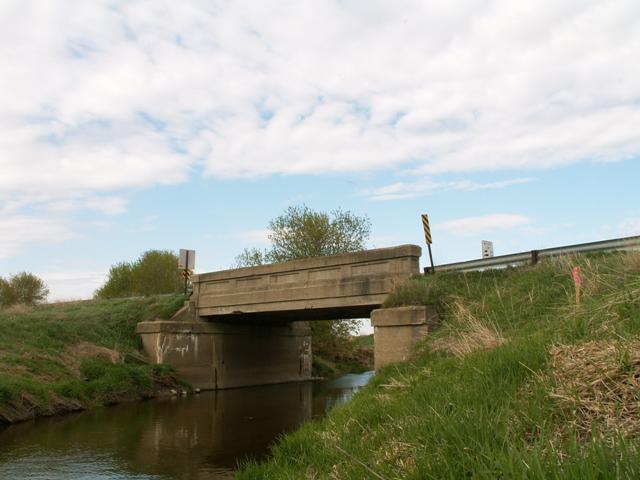
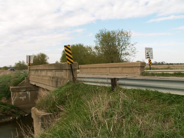
West elevation from southwest quadrant.
![]()
Original / Full Size
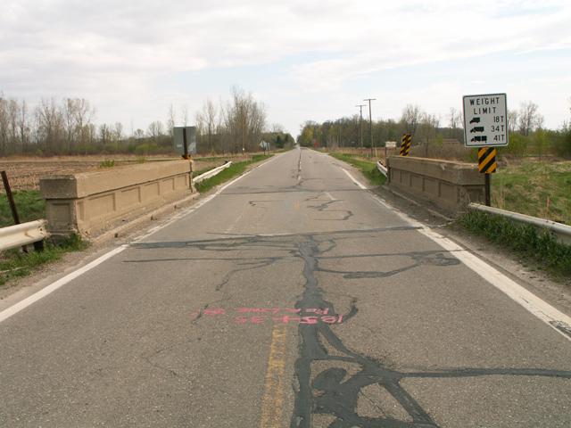
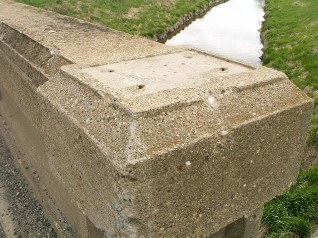
View on bridge looking northeast.
![]()
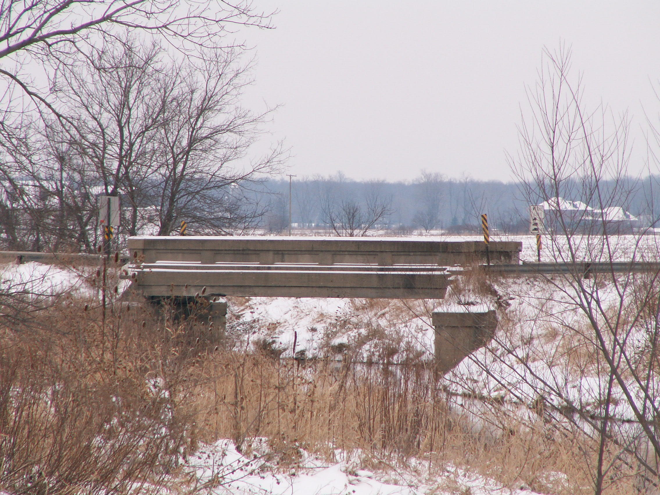
Portal views facing north.
![]()
View beside bridge.
![]()
View from beside roadway.
![]()
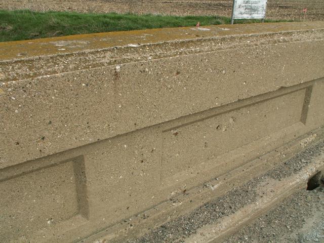
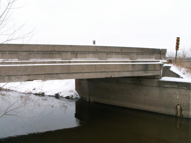
Views of the girders.
![]()
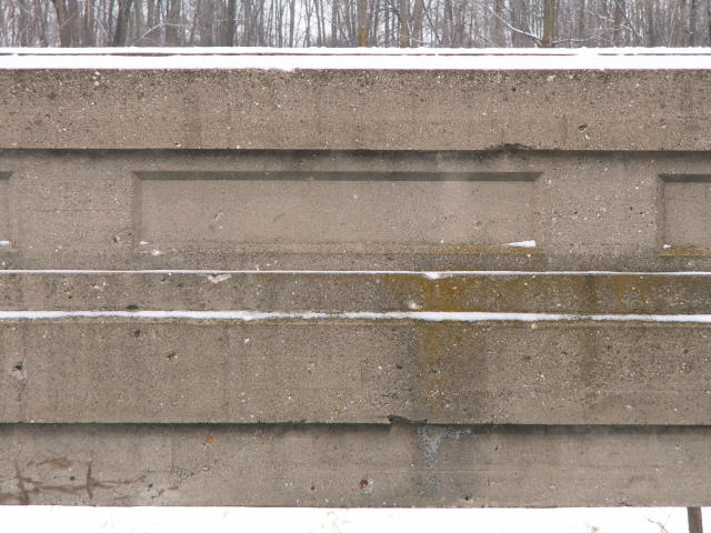
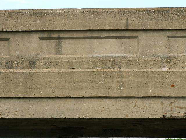
Views of sections of the girders from beside bridge.
![]()
Views of sections of the girders from on bridge.
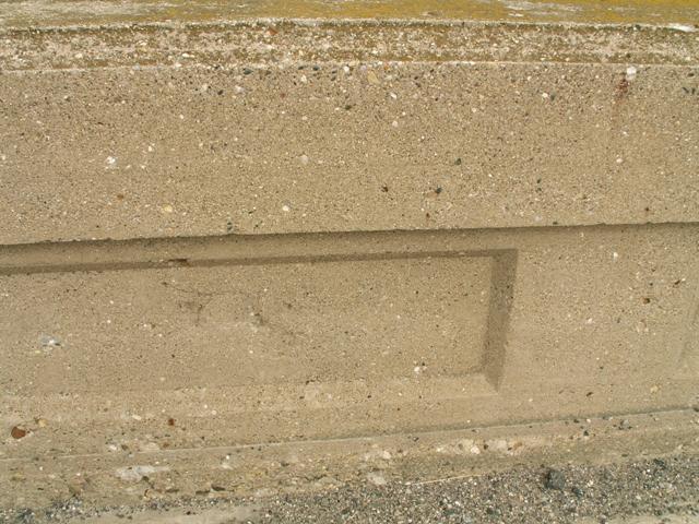
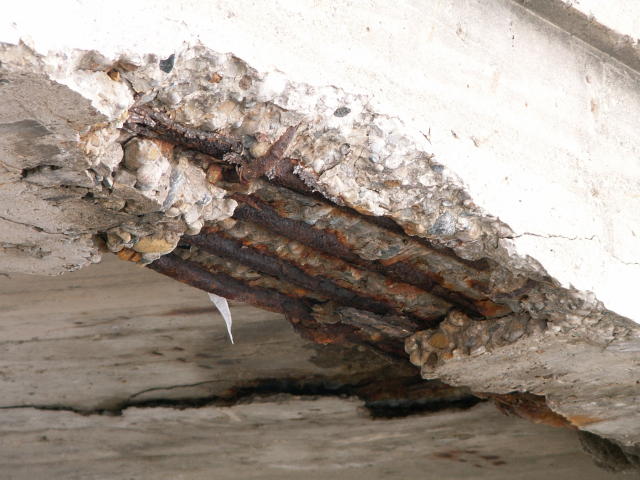
![]()
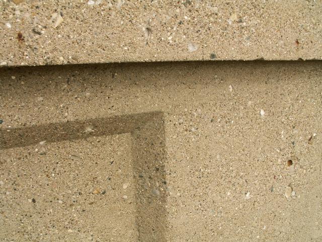
Girder details.
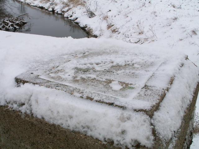
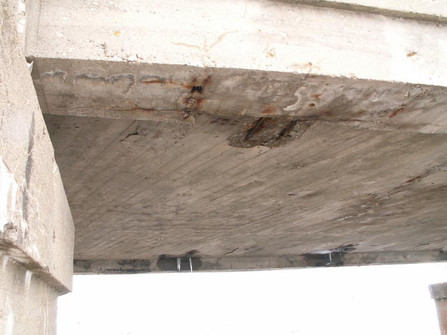
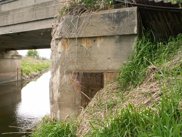
![]()
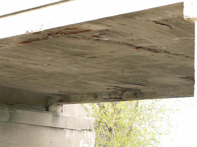
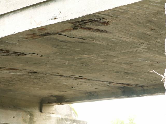
Views under deck.
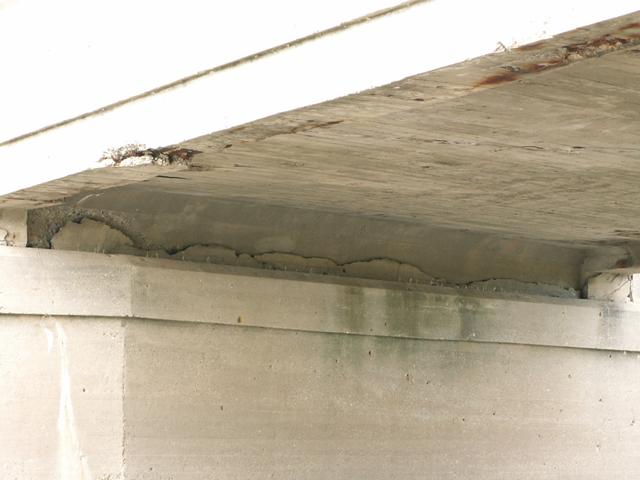
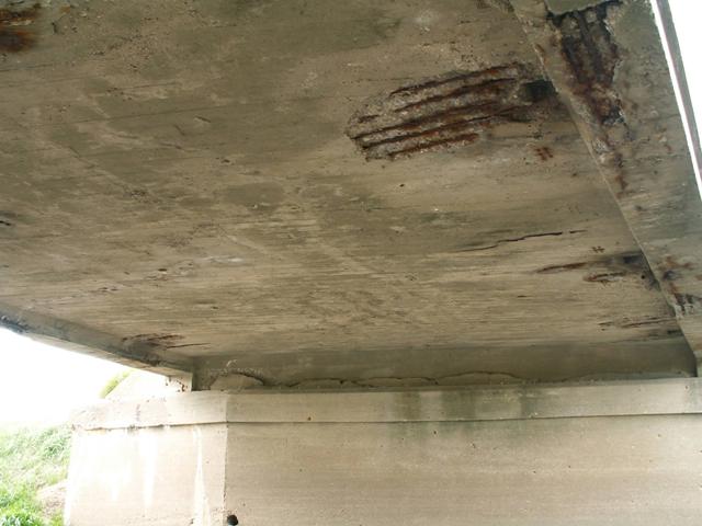
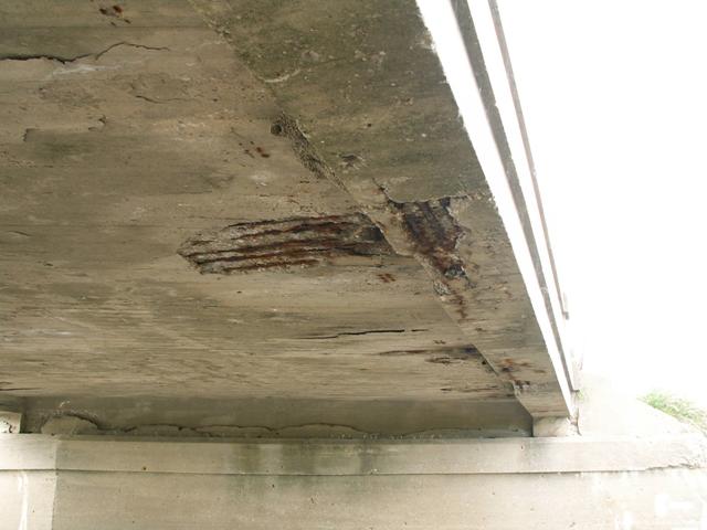
![]()
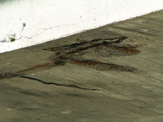
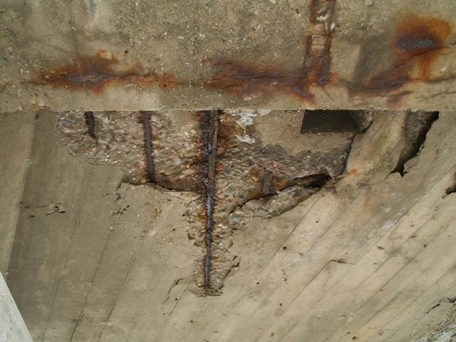
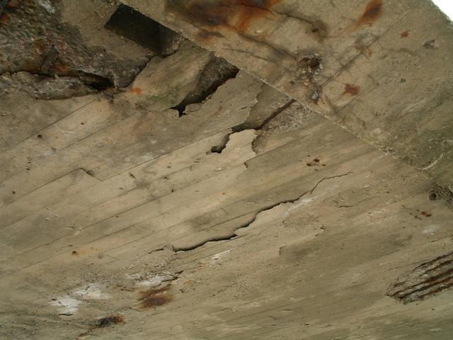
Details under deck.
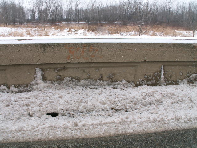
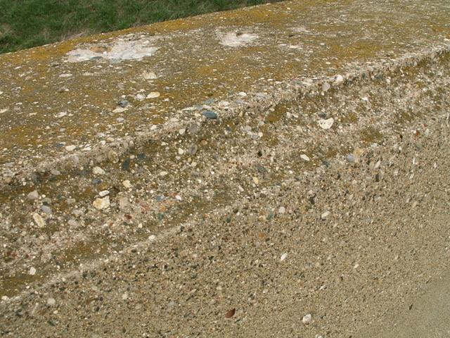
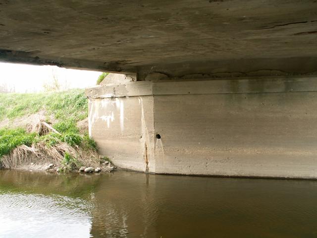
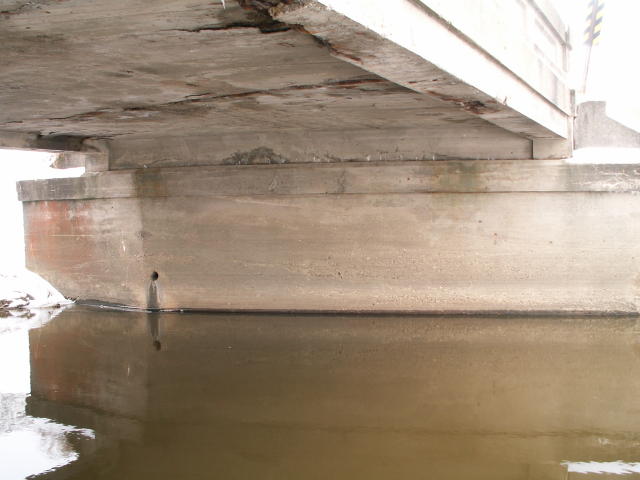
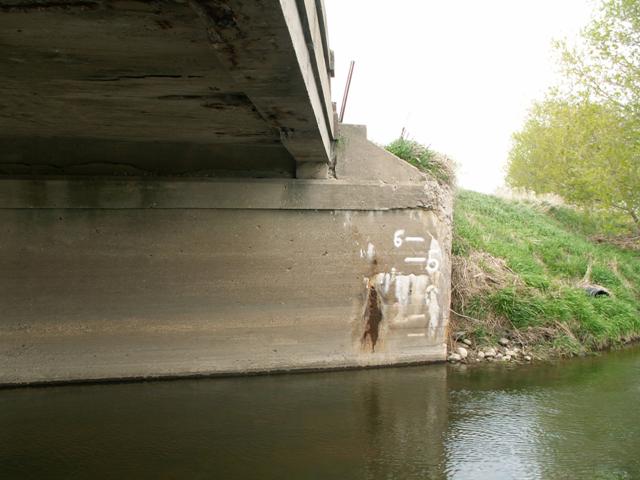
![]()
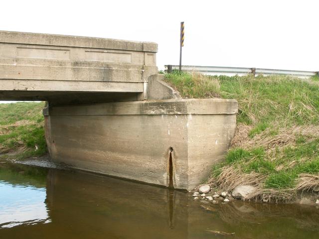
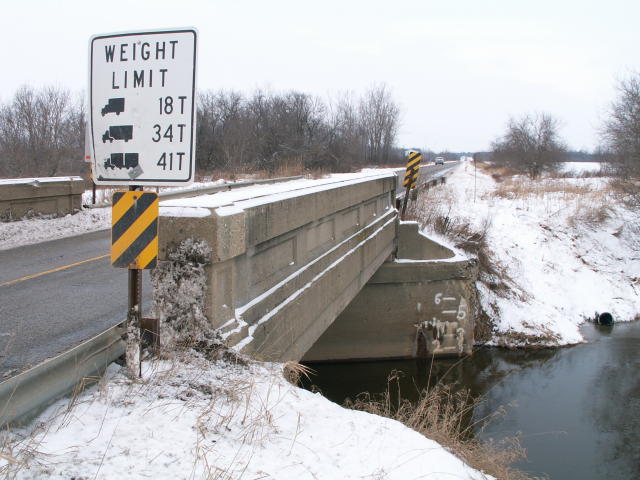
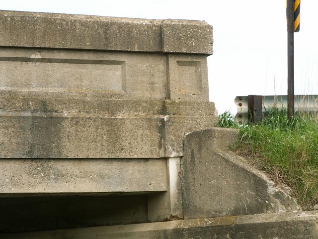
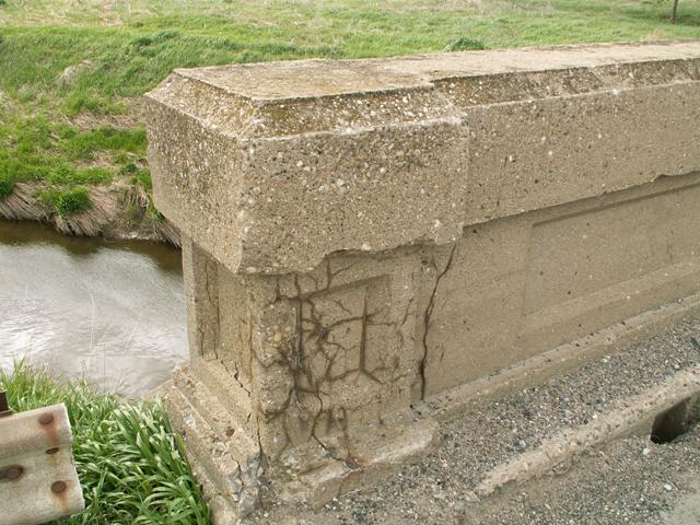
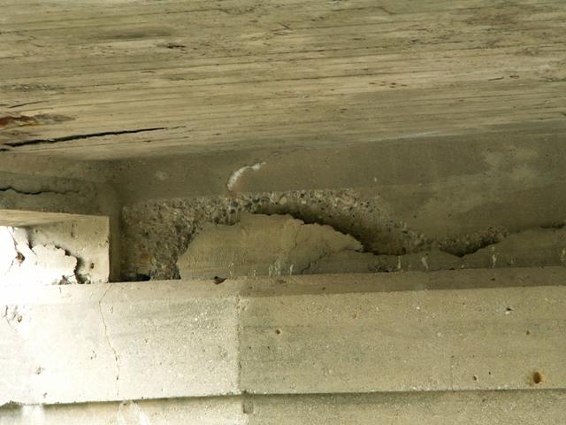
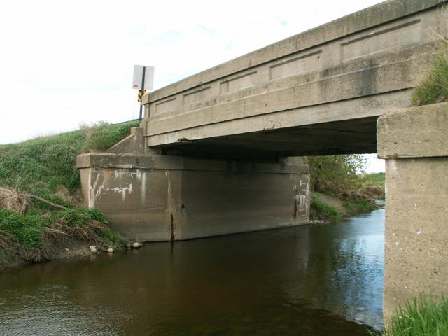
Views of the abutments.
![]()

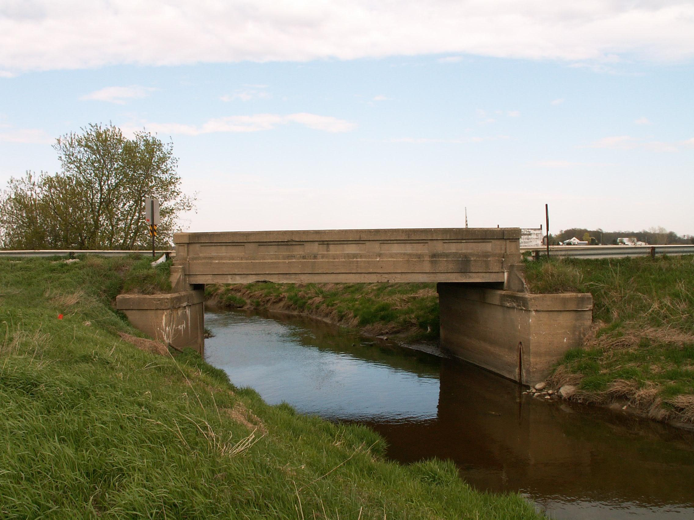
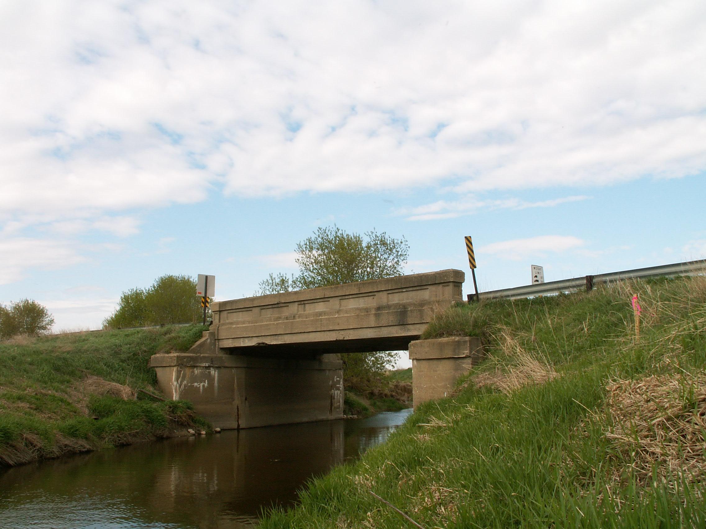
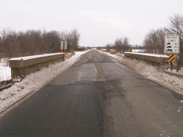
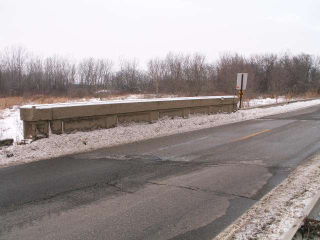
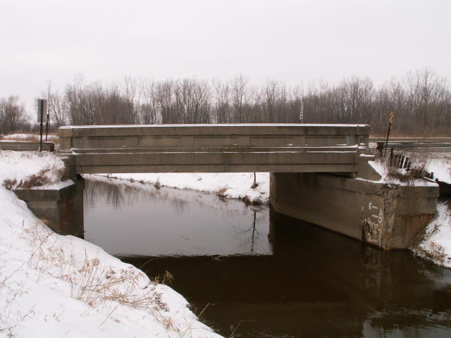
West elevation from northwest quadrant.
![]()
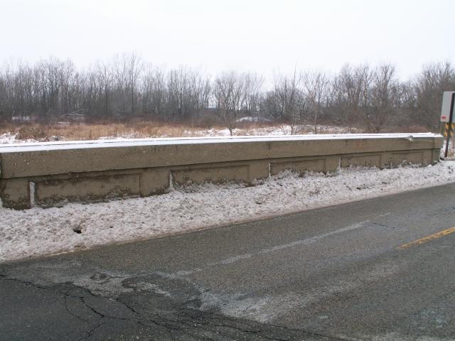
West elevation from southwest quadrant.
![]()
Views beside bridge from southwest quadrant.
![]()
East elevation from southeast quadrant.
![]()
Views beside bridge from southeast quadrant.
![]()

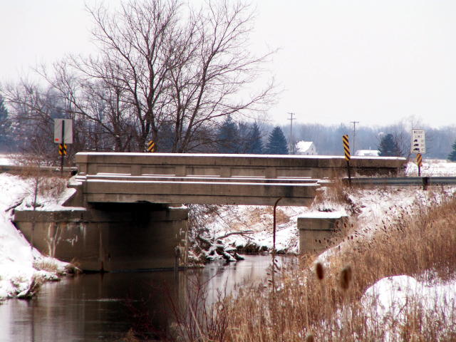
East elevation from down Speaker Road east of the bridge.
![]()

West elevation from down Speaker Road west of the bridge.
![]()
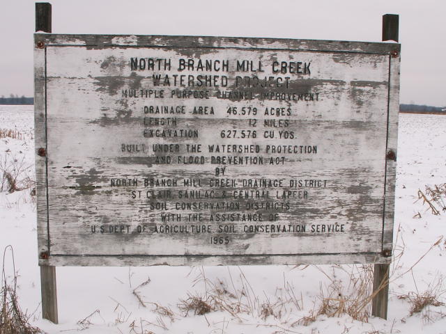
This sign, located right beside the bridge indicates that the reason this stretch of Mill Creek is so barren is because of the 12 mile dredging project, done in the sixties. As of 2007, plans call for some sections of Mill Creek once again be dredged.
![]()
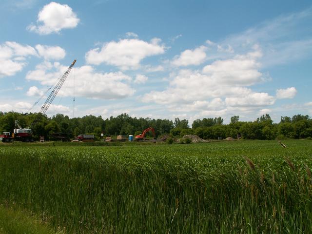
View of the demolition of the bridge.
![]()
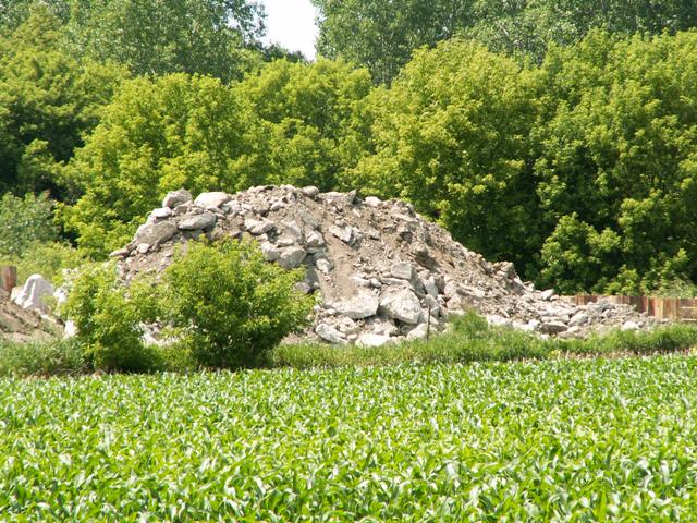
View of demolition from Speaker Road east of Capac Road. This pile of rubble was once a bridge in good structural condition. This is how St. Clair County treats our transportation heritage, and uses your tax money.
![]()
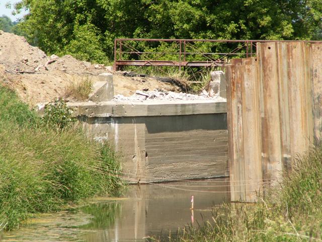
The abutment was all that was left.
![]()
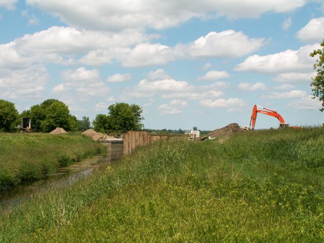
View of demolition from Speaker Road west of Capac Road.
![]()
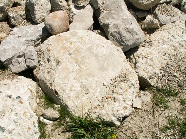
Rubble that was once a historic bridge.
![]()
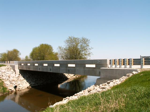
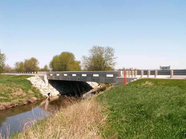
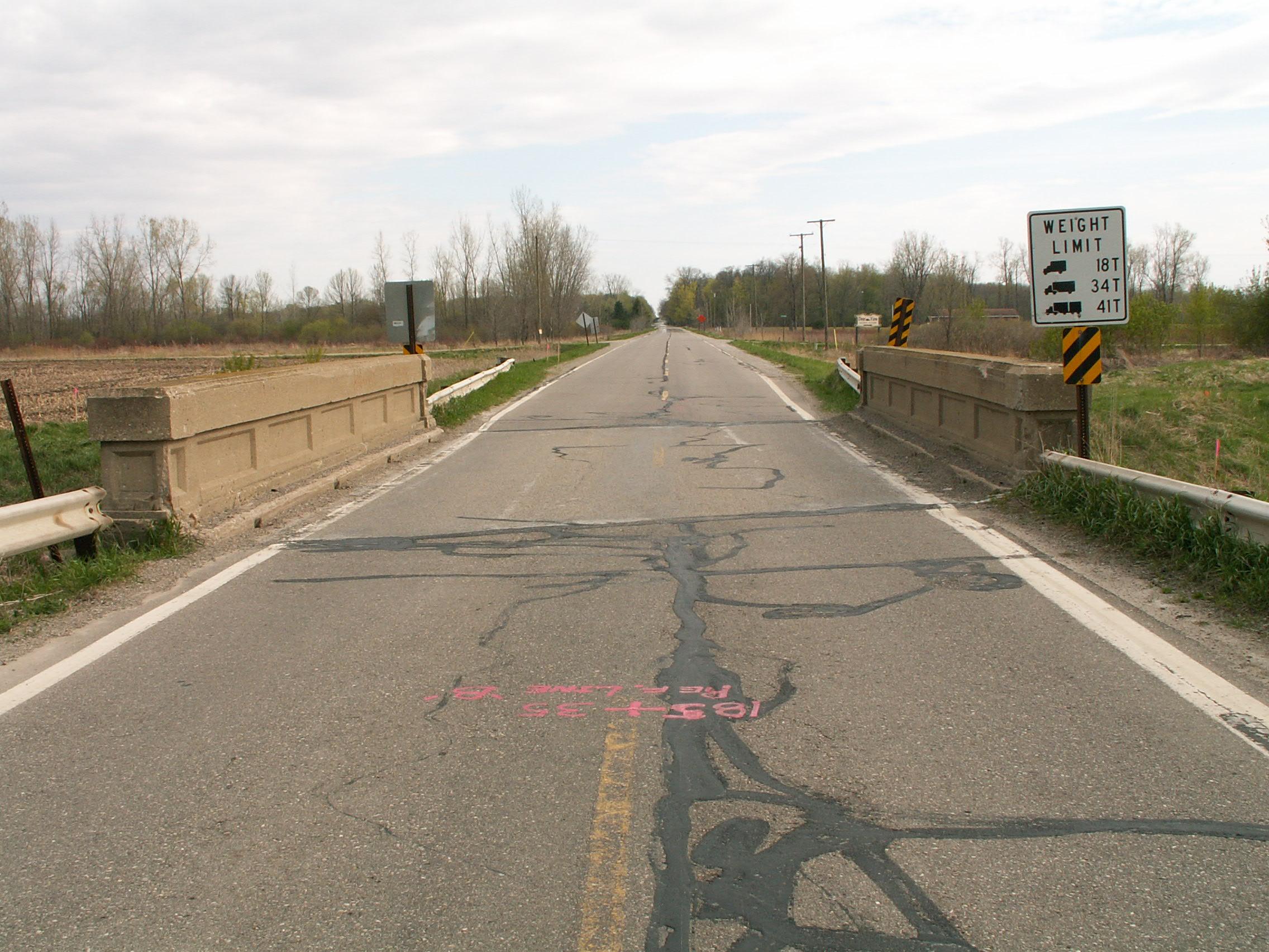
Views of the ugly replacement slab.
![]()
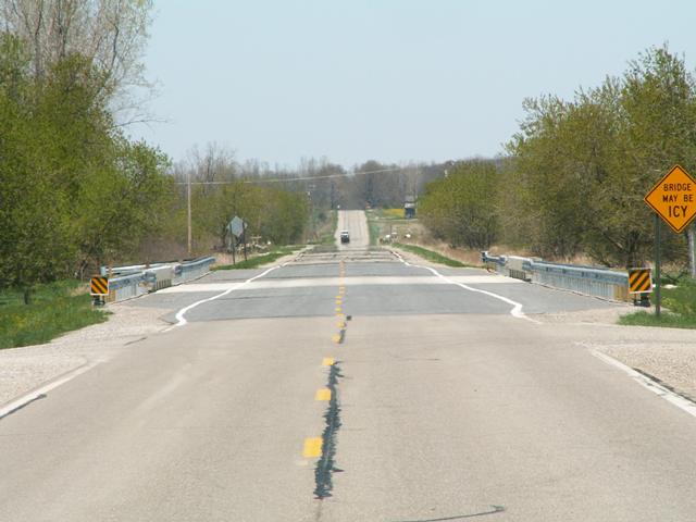
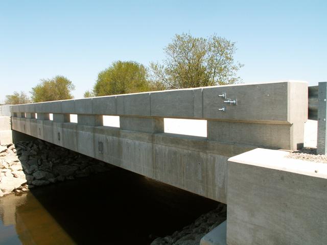
Zoomed portal view of slab showing how needlessly wide the slab is. The slab is considerably wider than the road, even including the gravel shoulder.
![]()
![]()
| Back |
| Home |
| Top |

![]()