
Uncredited photos on this page taken by: Nathan Holth. Unless stated in a caption, all photos are Copyright with All Rights Reserved. Learn about reuse of our photos.
![]()

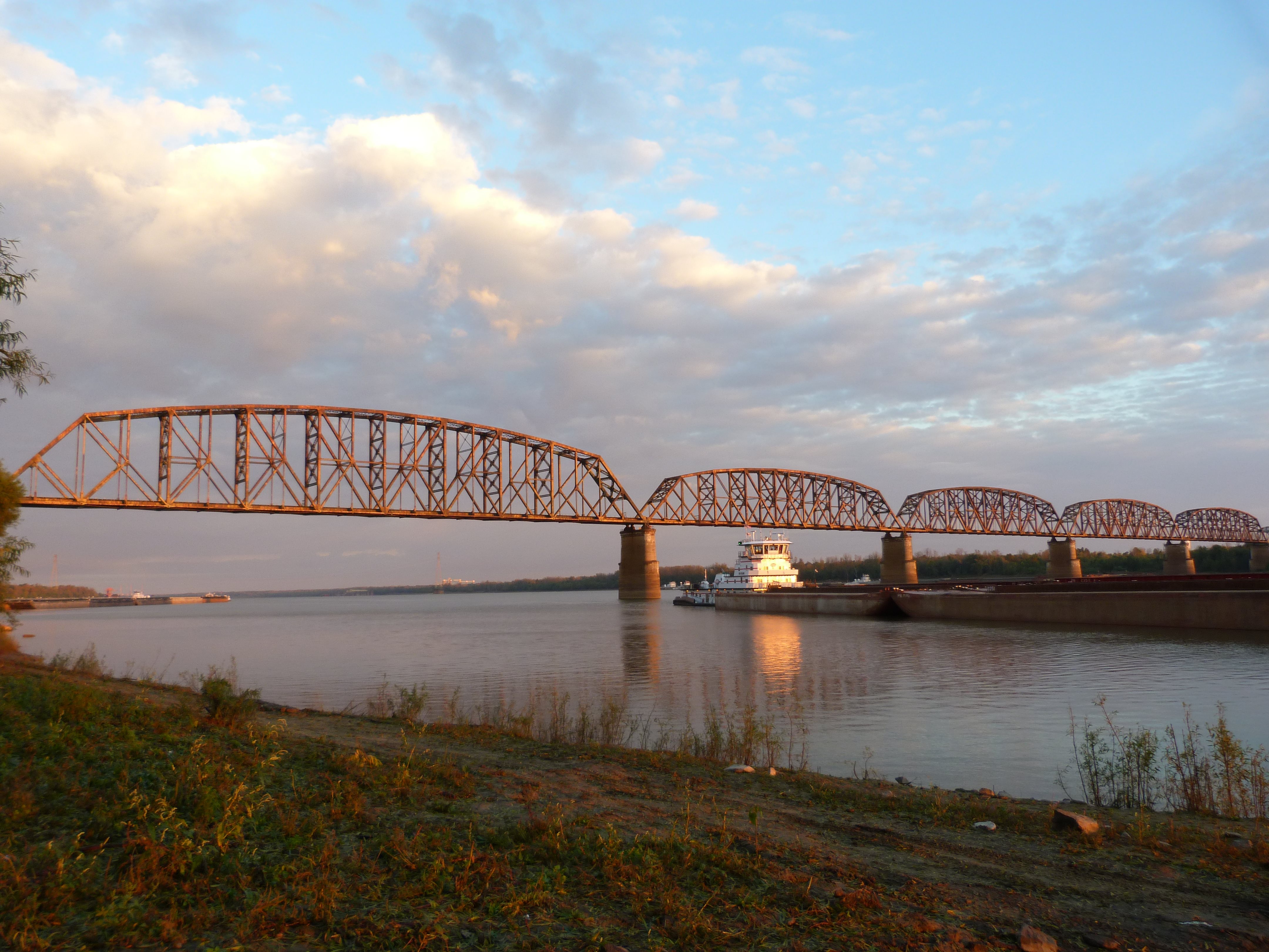


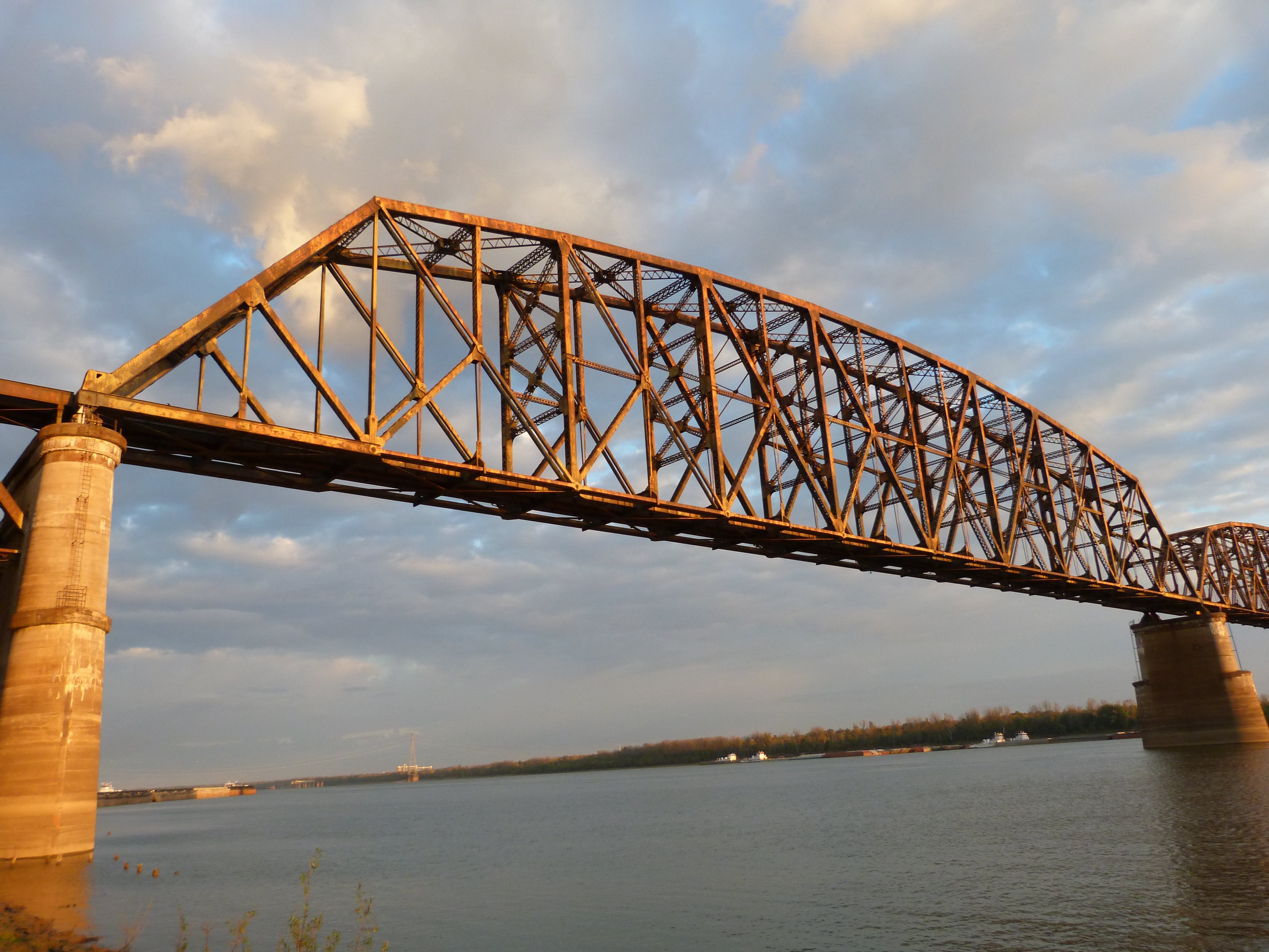
Elevation from southeast quadrant.
![]()


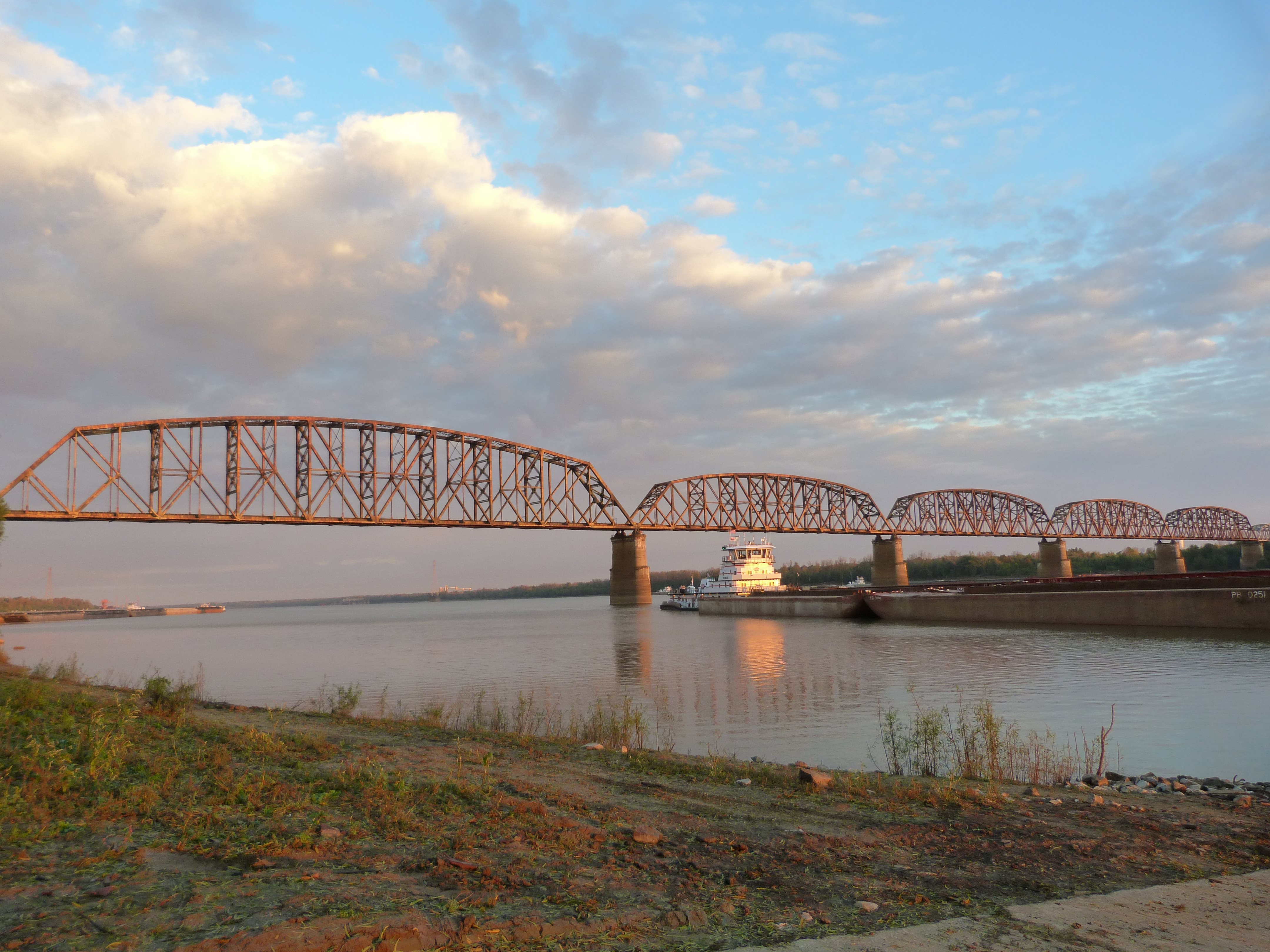
Elevation from northeast quadrant.
![]()


Views beside bridge from southeast quadrant.
![]()


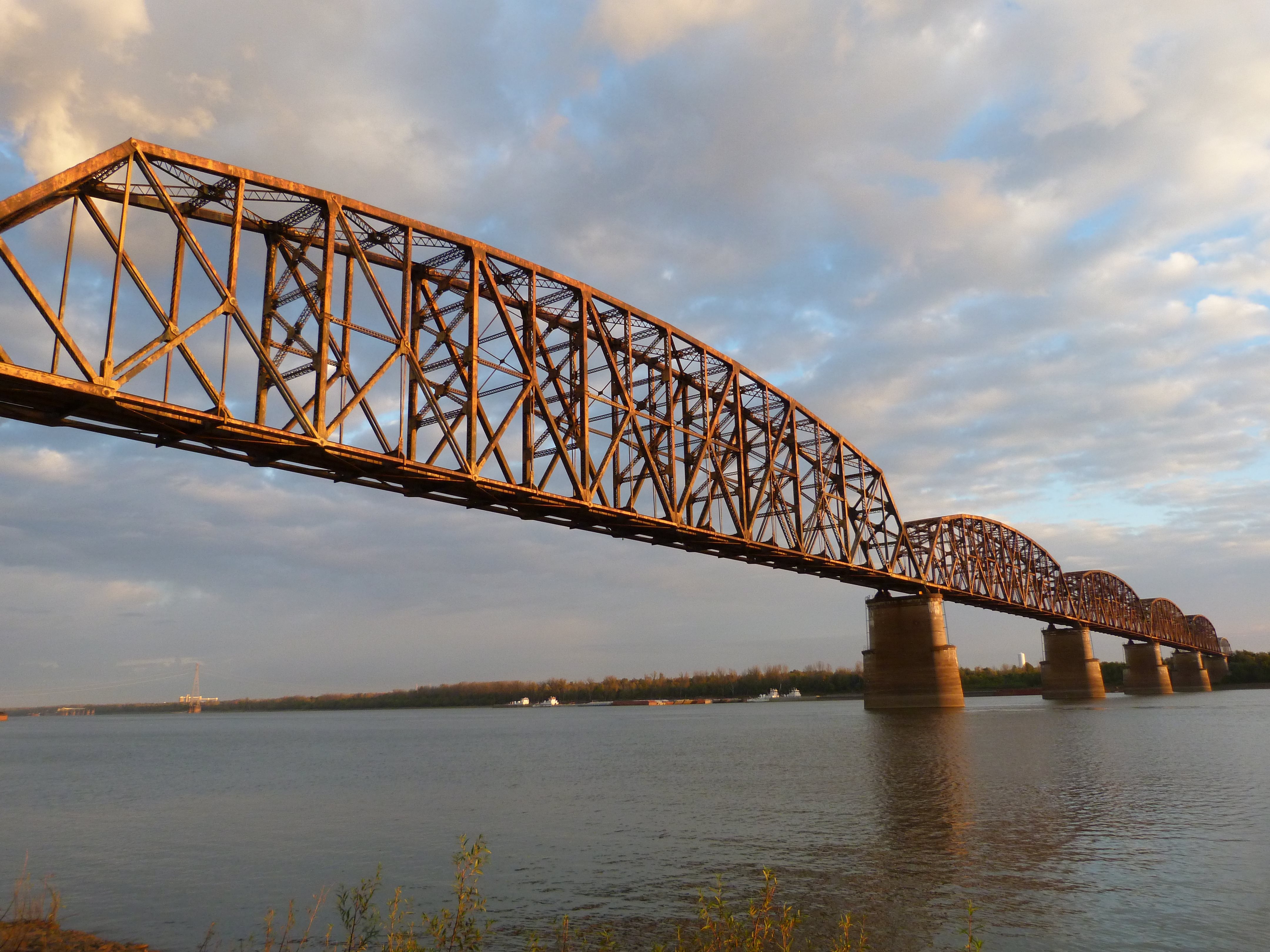
Elevation of 720 foot span from southeast quadrant.
![]()


View of 720 foot span from beside bridge from southeast quadrant.
![]()


Elevation of shorter through truss spans from southeast quadrant.
![]()


Elevation of 720 foot span from northeast quadrant.
![]()


Elevation of Parker truss span from northeast quadrant.
![]()


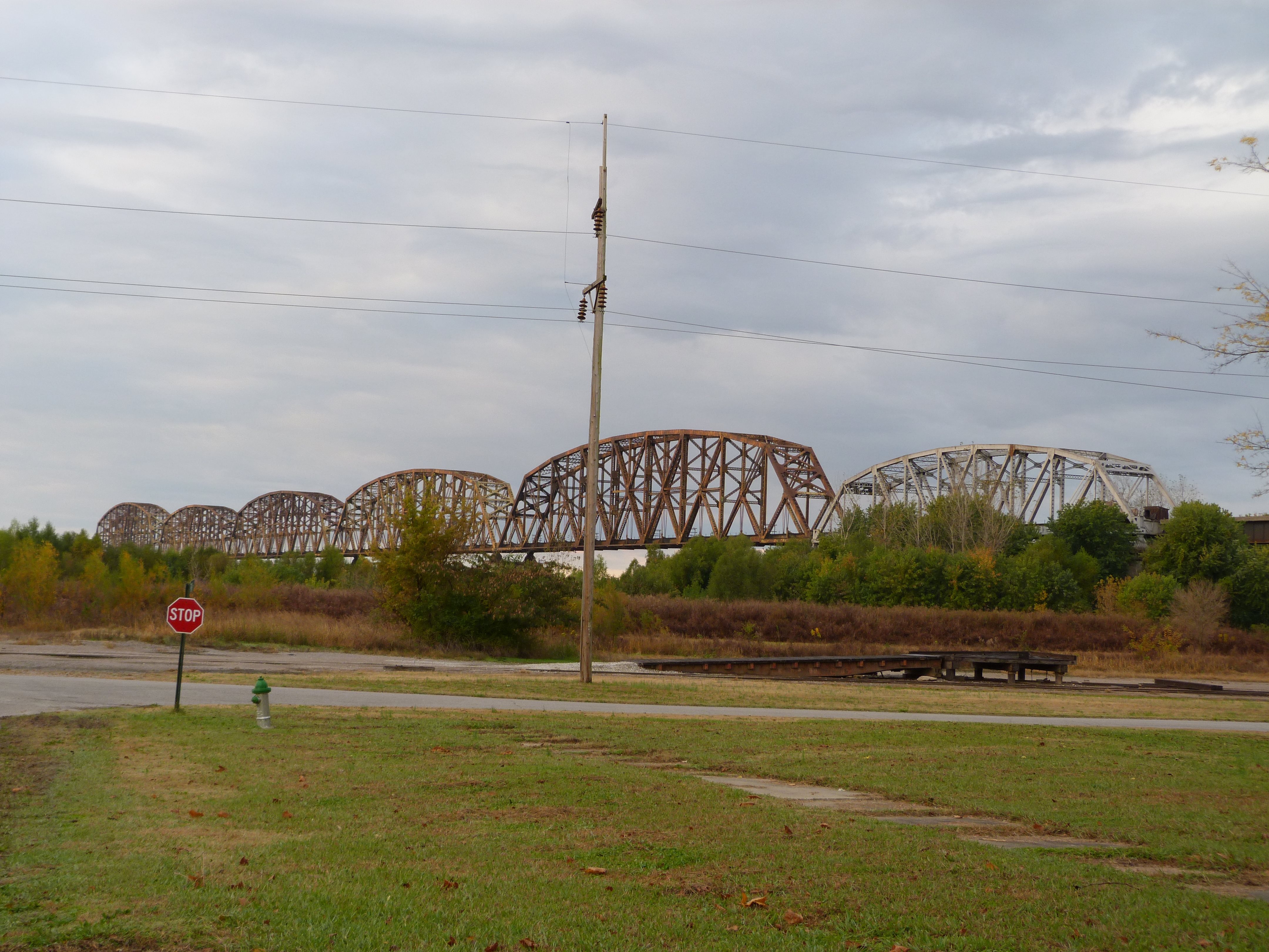
East elevation of northern approach spans.
![]()


View beside northern approach spans. View looking south from northeast quadrant around bridge.
![]()


East elevation of deck truss span.
![]()


Views of truss web.
![]()

Photo Credit: C. Hanchey
Elevation from southeast quadrant.
![]()


Photo Credit: C. Hanchey
Views beside bridge from northwest quadrant.
![]()

Photo Credit: C. Hanchey
Elevation from northeast quadrant.
![]()


Photo Credit: C. Hanchey
Train on approach spans.
![]()

Photo Credit: C. Hanchey
View beside approach spans.
![]()
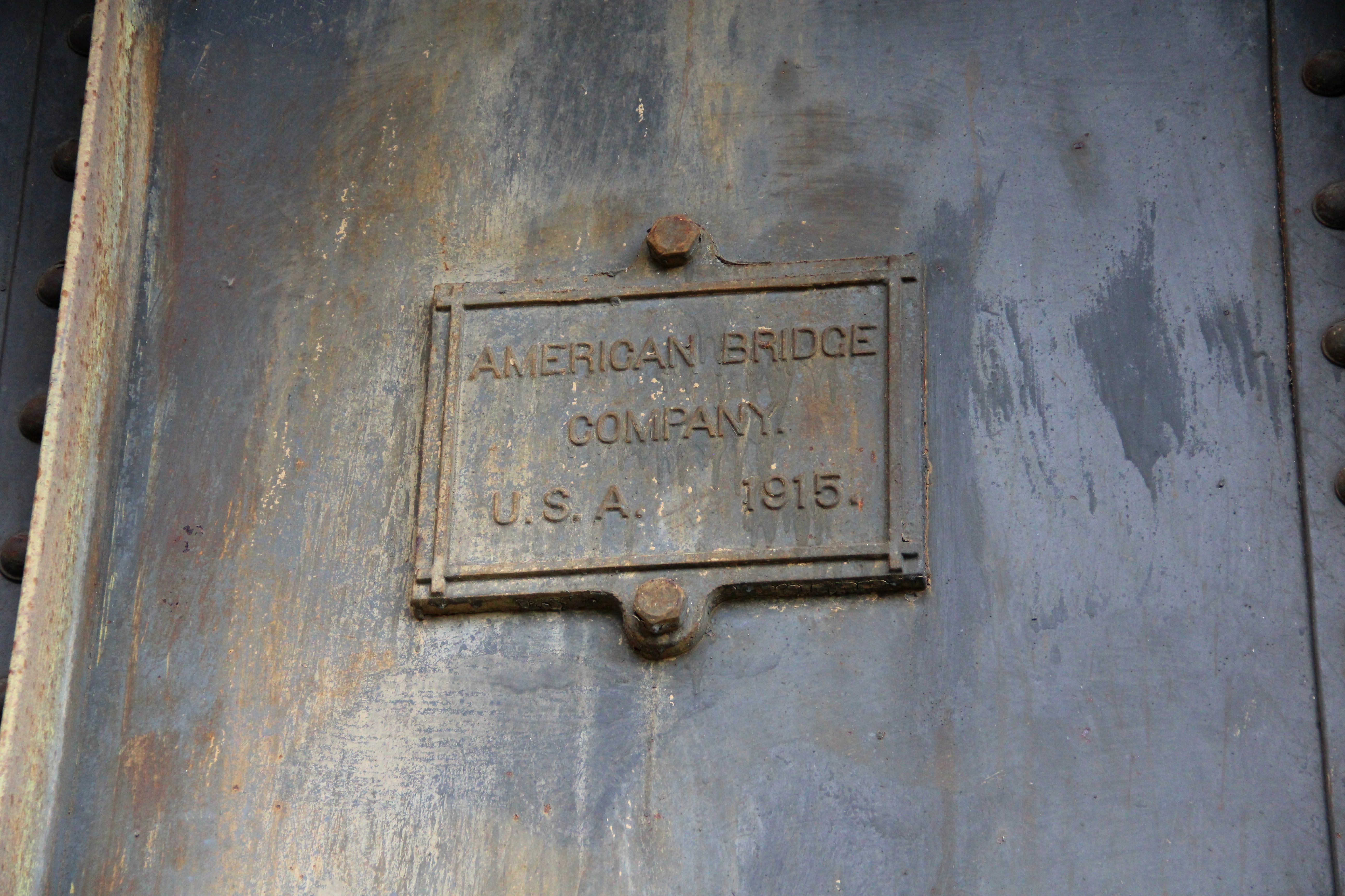
Photo Credit: C. Hanchey
Builder plaque on approach span.
![]()


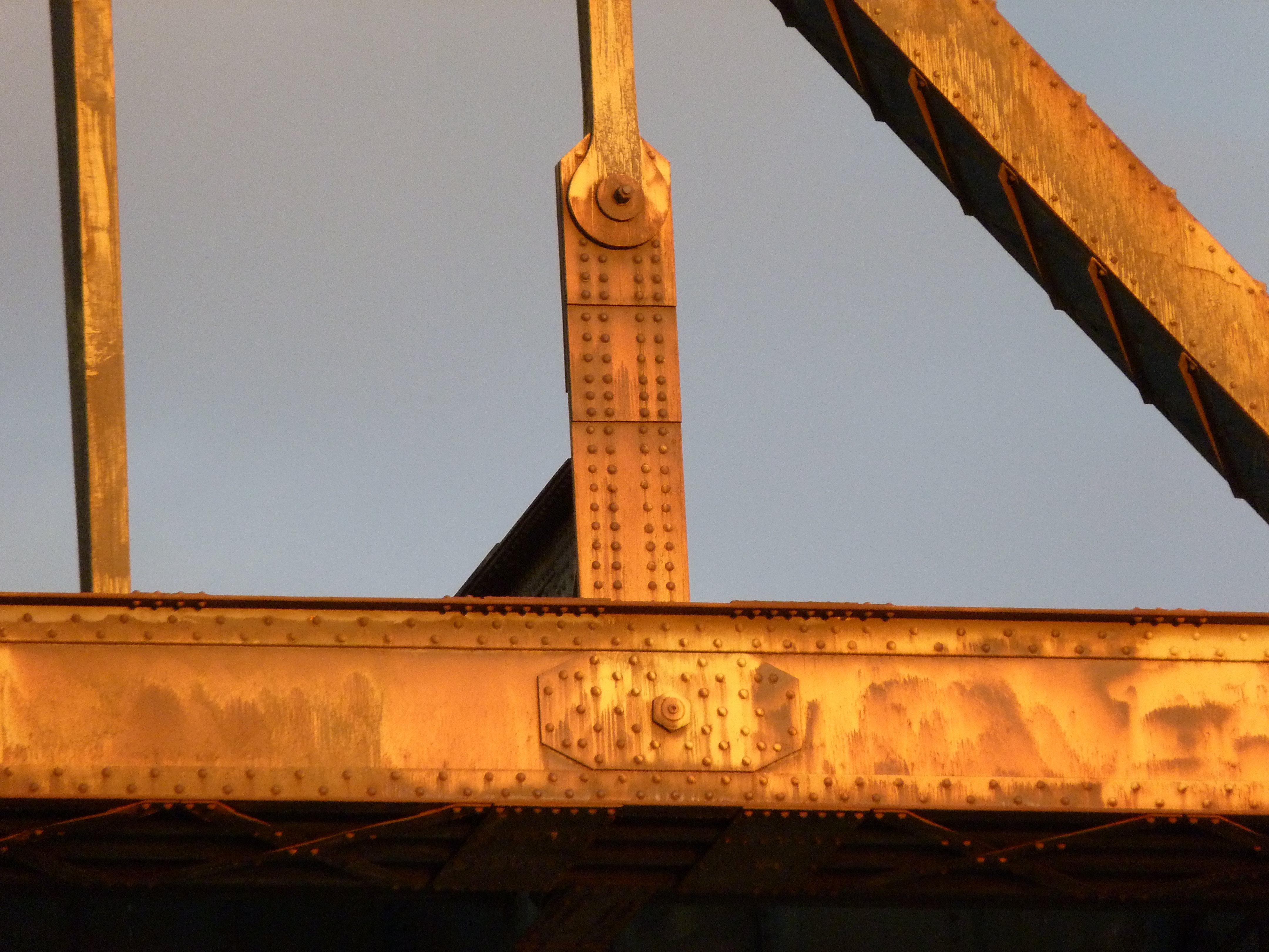
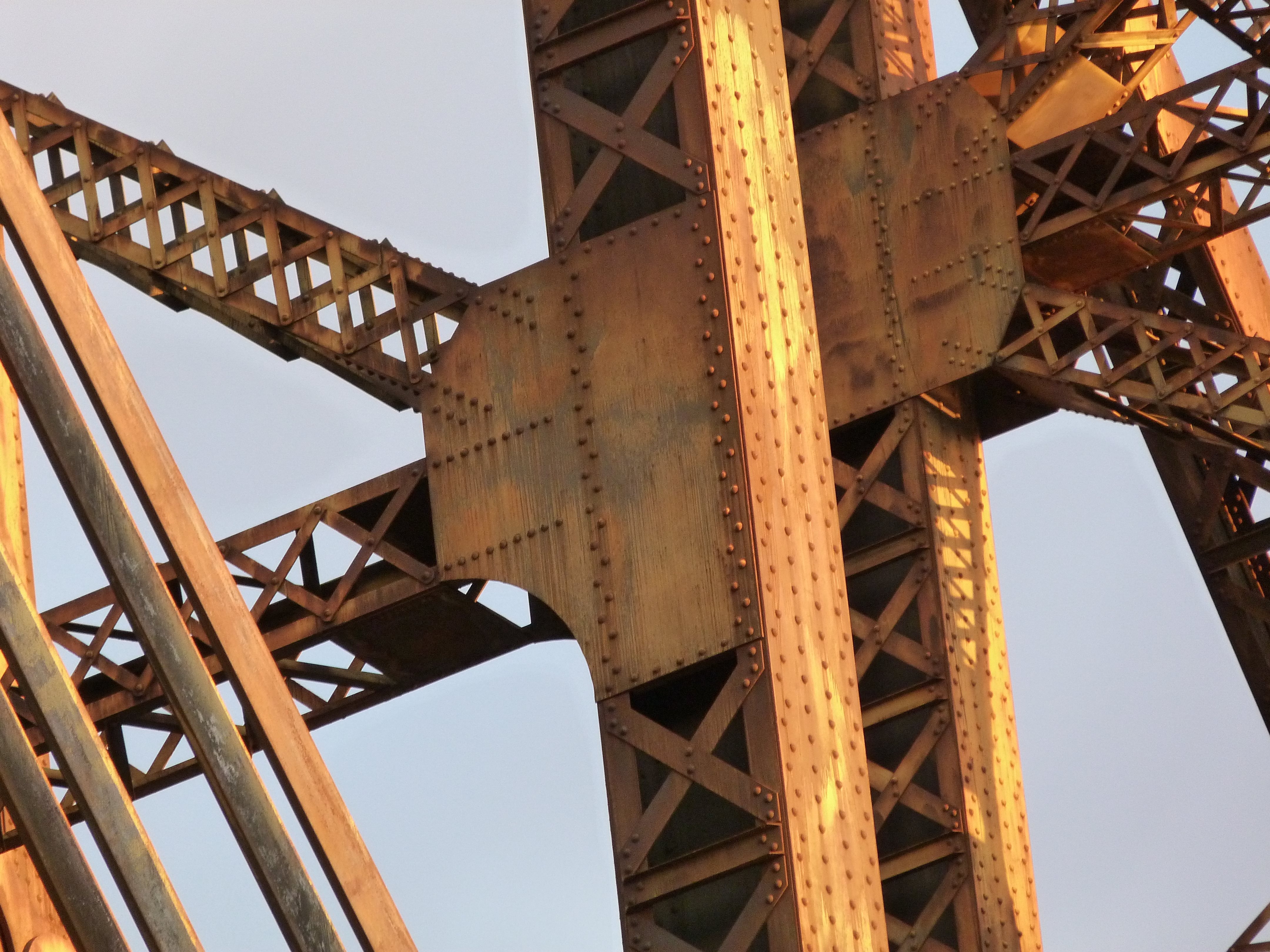
Top chord connections as viewed from beside bridge.
![]()


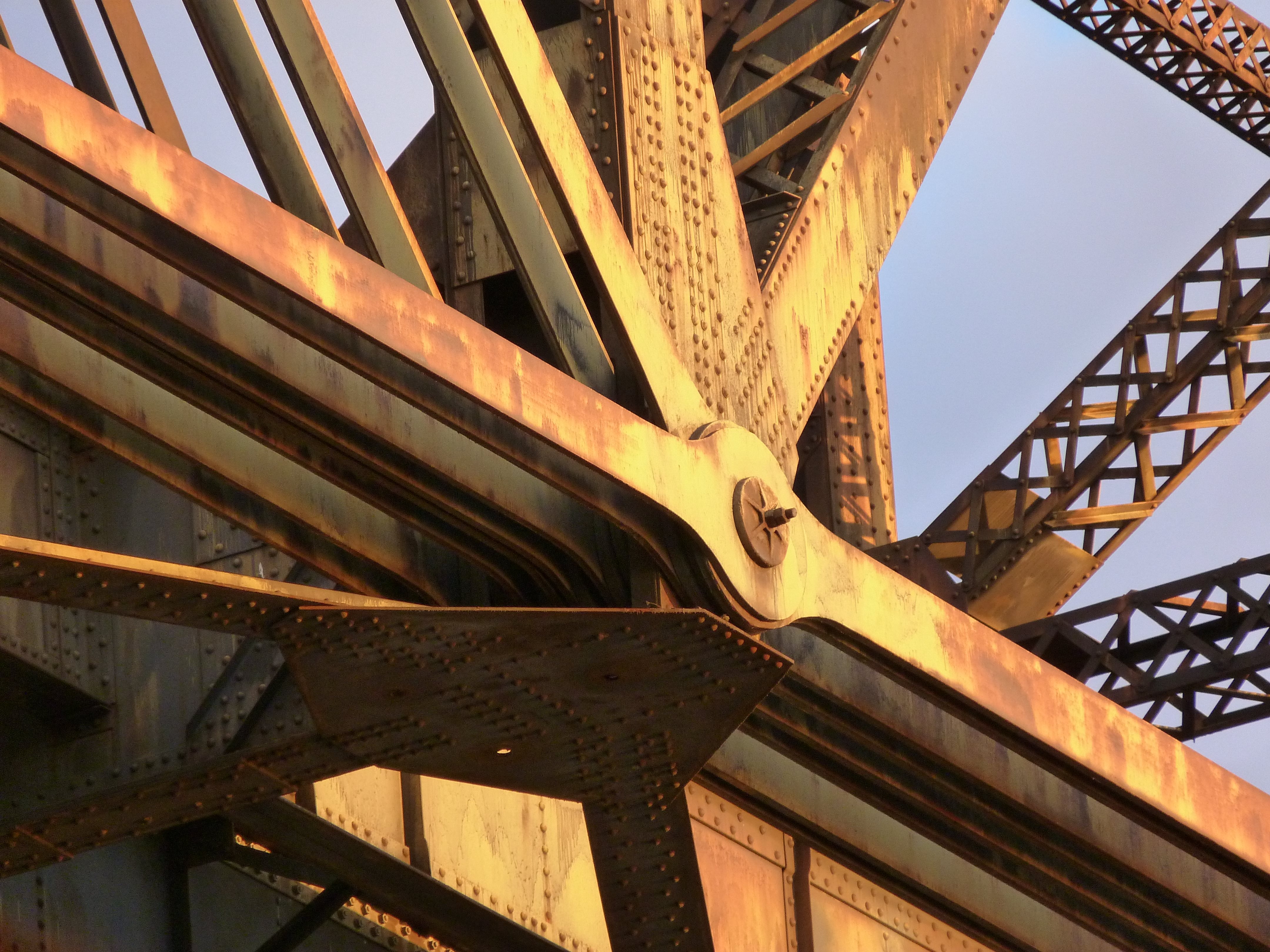

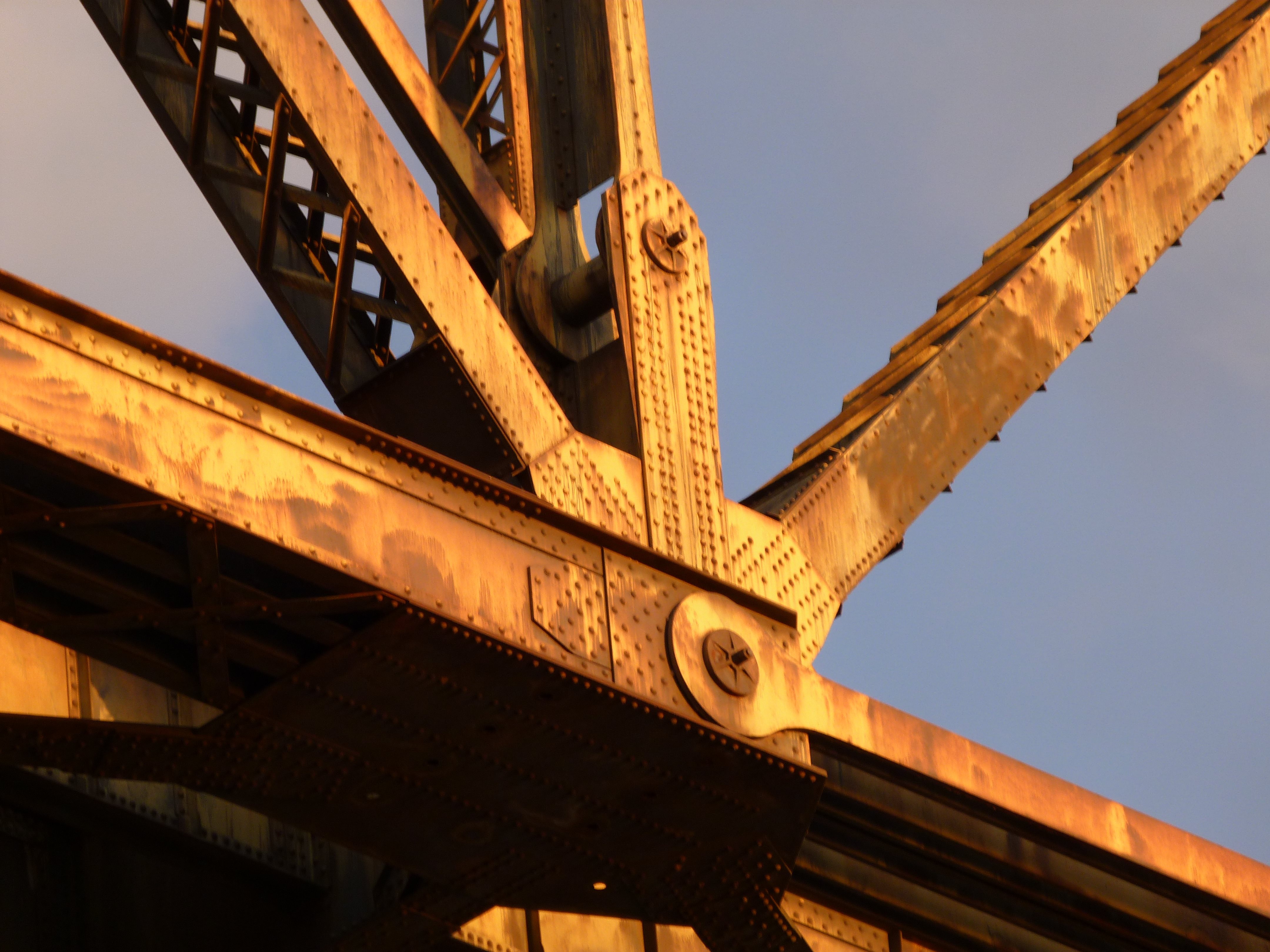
Bottom chord connections as viewed from beside bridge.
![]()


Intermediate connections as viewed from beside bridge.
![]()
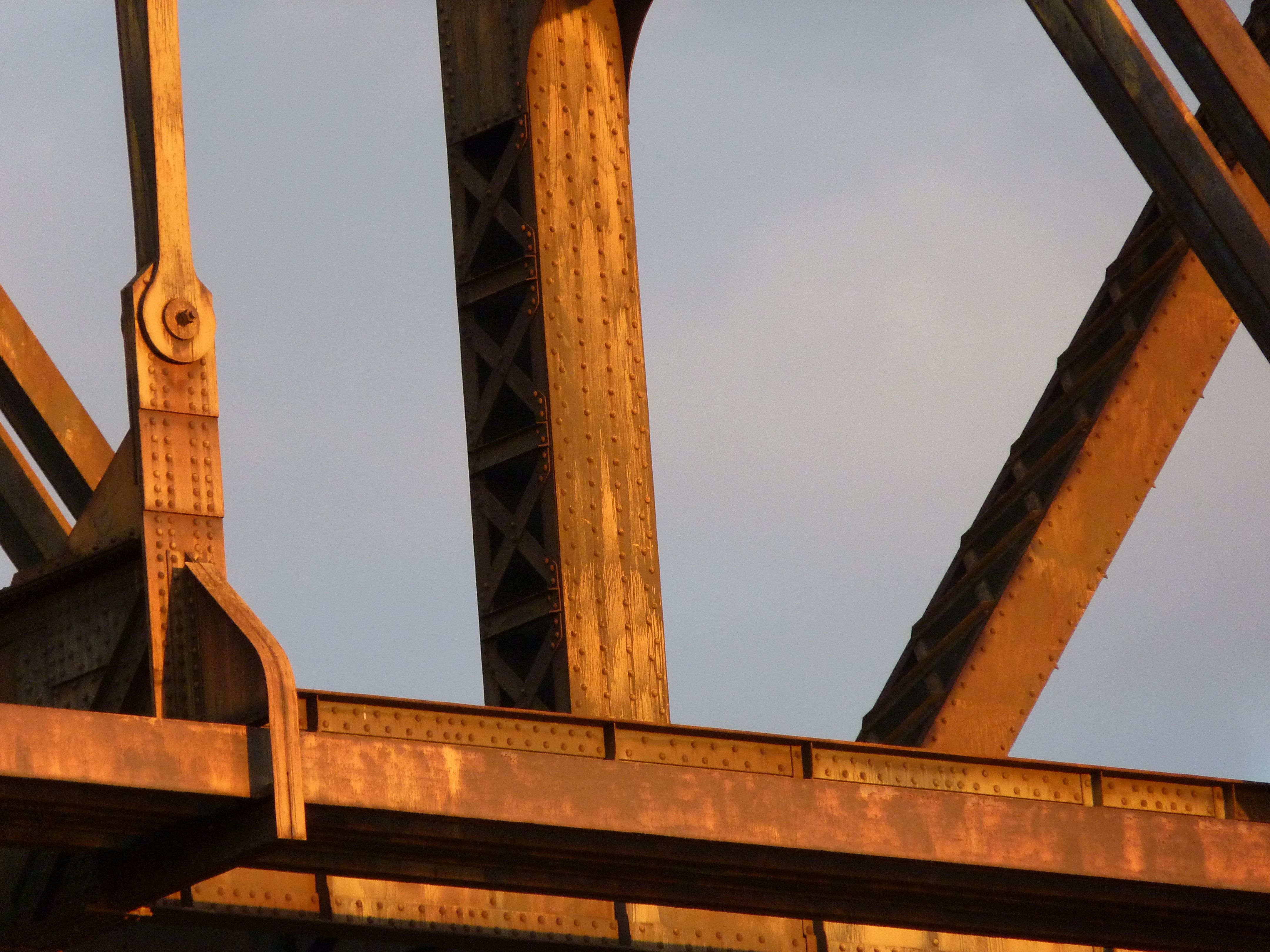
End post.
![]()


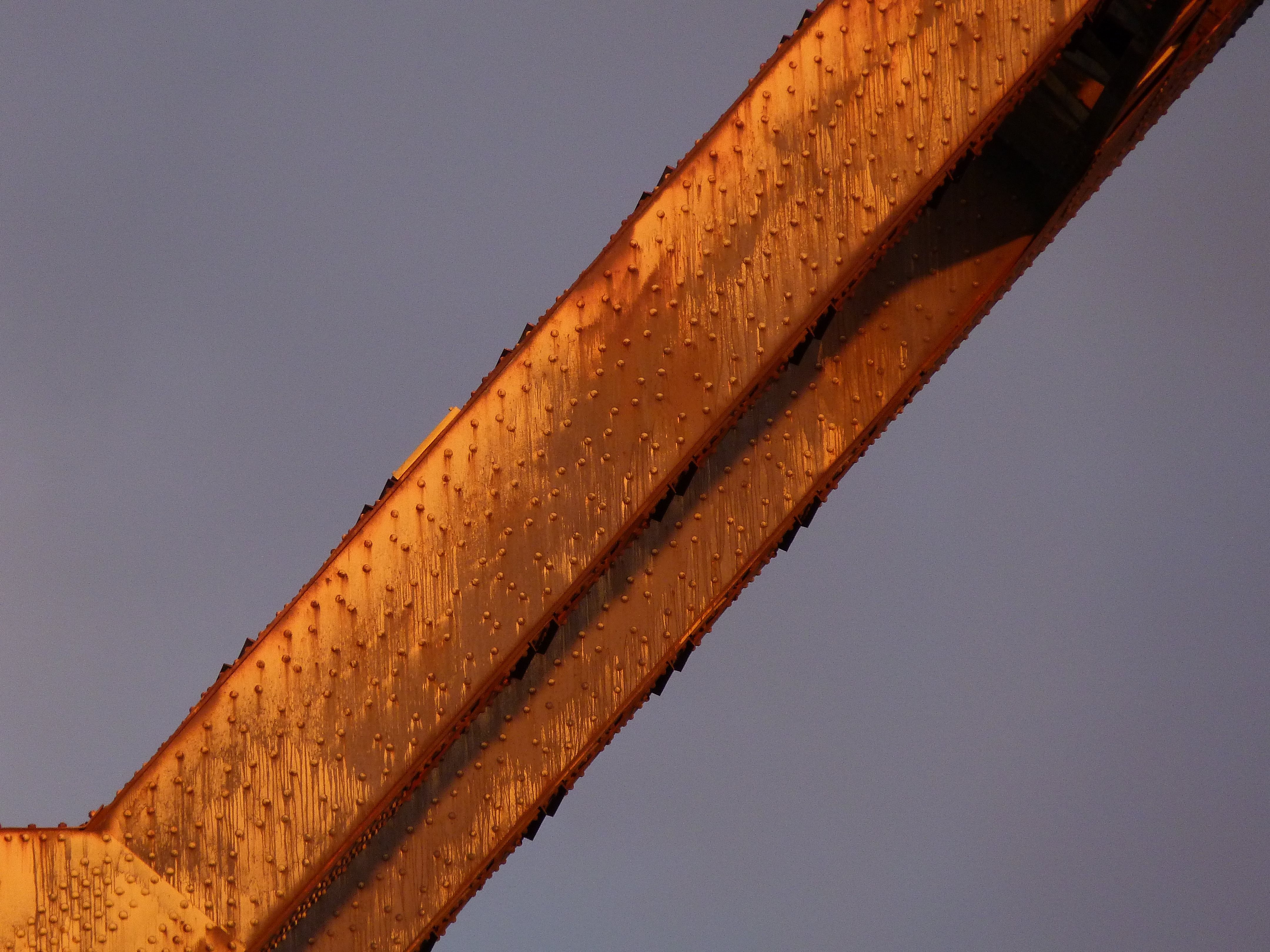
Vertical members.
![]()

Diagonal member.
![]()
Horizontal member.
![]()

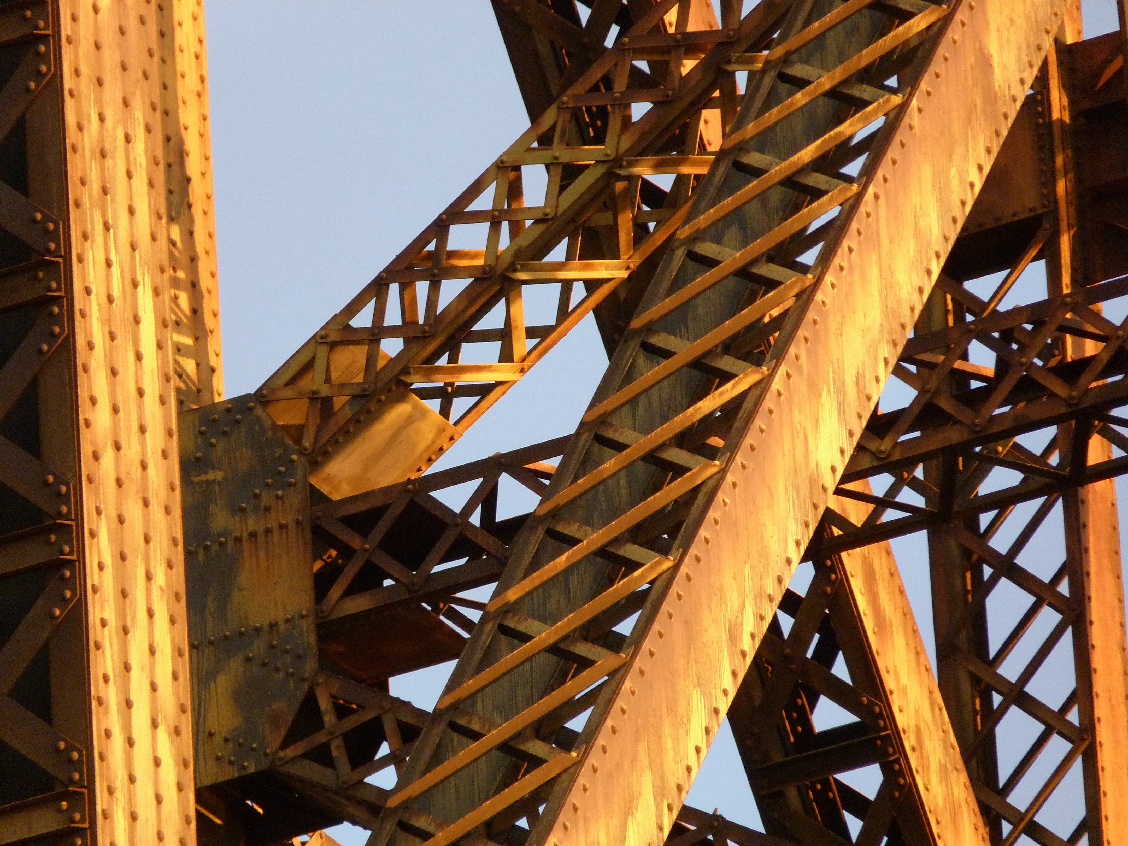
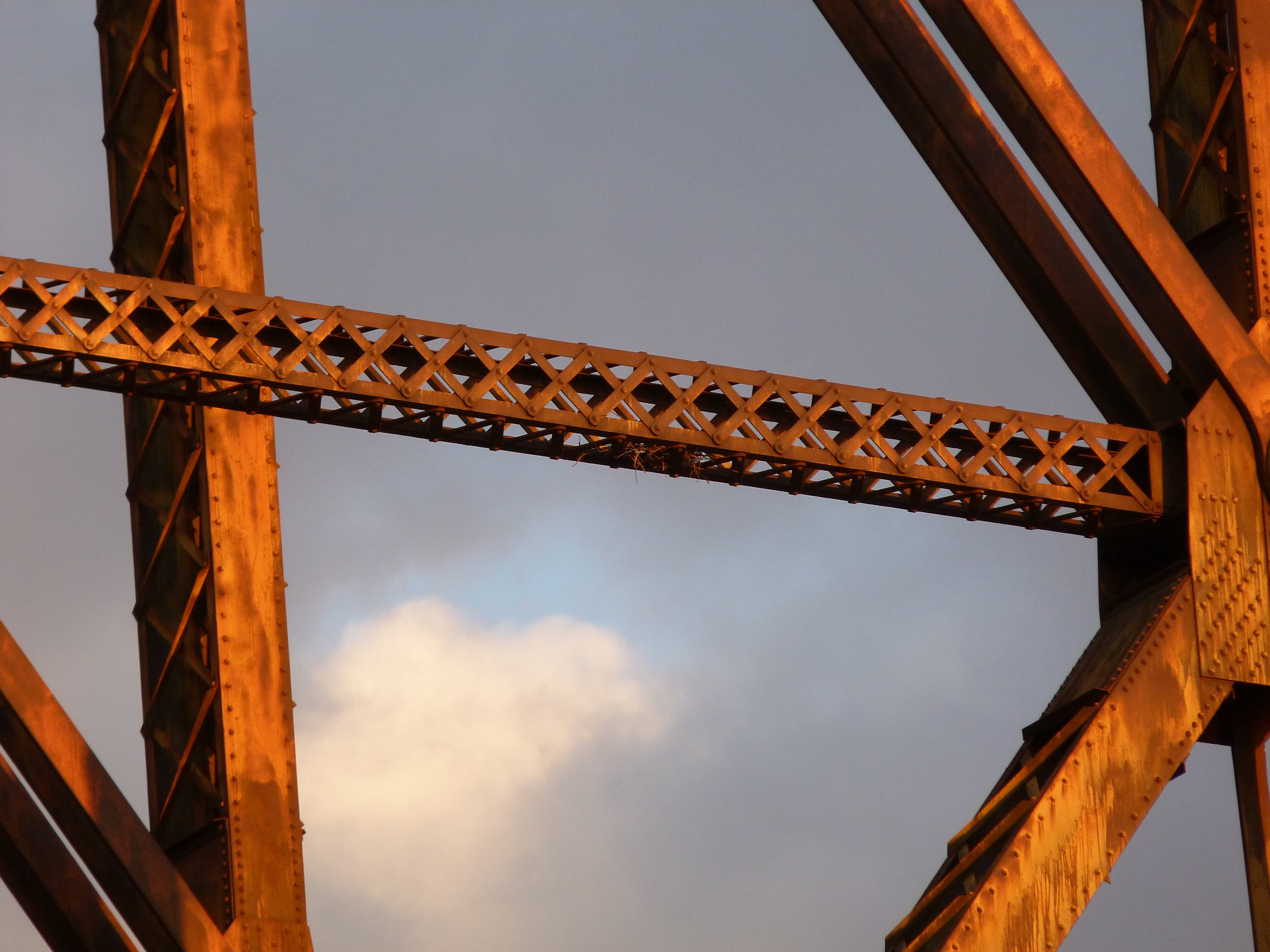
Sway bracing.
![]()

Sway bracing connections to vertical member.
![]()


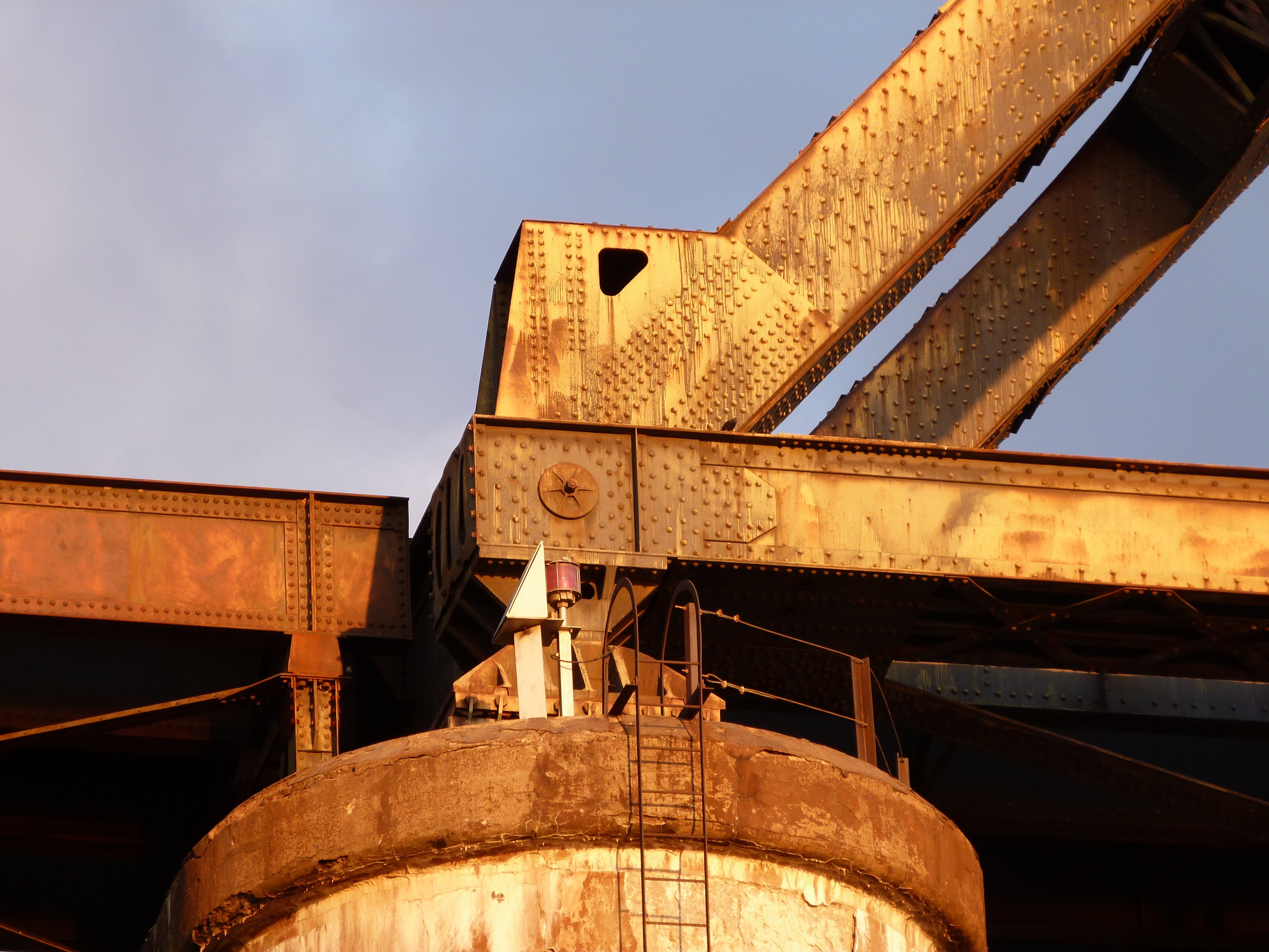

Bearings.
![]()

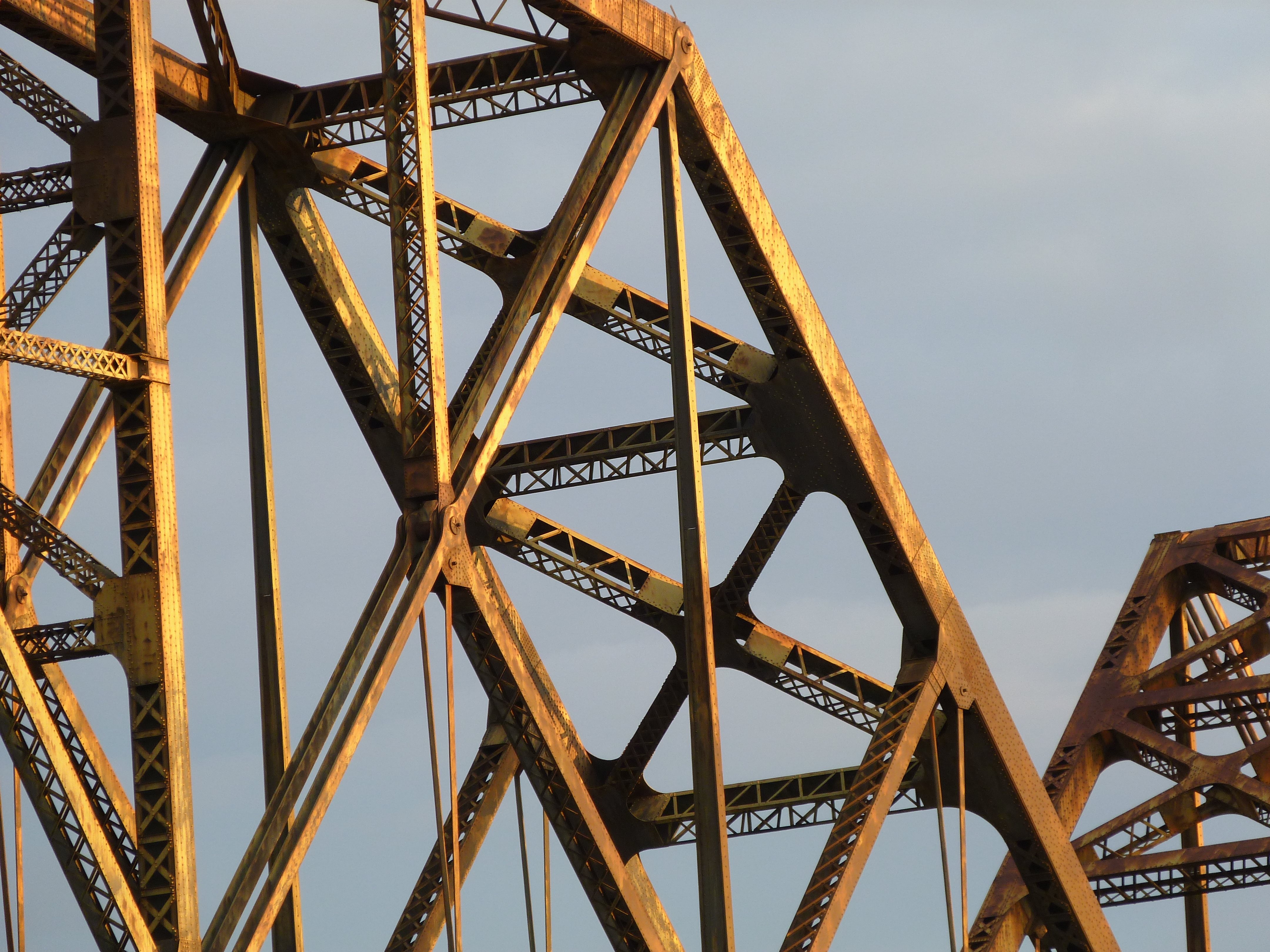


Portal bracing.
![]()

View under bridge.
![]()


Piers.
![]()


Deck truss top chord connections.
![]()


Deck truss bottom chord connections.
![]()


Parker truss span top chord connections.
![]()

Parker truss end post.
![]()


East elevation of individual northern approach spans.
![]()


Bents for northern approach spans.
![]()


Details of bents for northern approach spans.
![]()

This is the road that leads to the southeast quadrant around the bridge. It is located a short distance east of the bridge. Note the road sign (which is official looking, and does not look like a joke) that reads "Under Satellite Surveillance". This should be confirmation those who think that the government is spying on everybody. Oddly, there are not any "No Trespassing" signs, and the road appears to be open to the public. It is unclear why such signs are posted, and if they really are for real. There really is nothing but woods along the road. The only oddity is a small section of woods is fenced off with cyclone fencing. Could some government secret be buried beneath the soil? Who knows, all that mattered to HistoricBridges.org is the road provided access to great photos of the bridge.
![]()
![]()

![]()