
Uncredited photos on this page taken by: Mary M. Root and Ray Root. Unless stated in a caption, all photos are Copyright with All Rights Reserved. Learn about reuse of our photos.
![]()

Looking downstream, with Bridge #1907 in foreground and twin Railroad bridges in the distance. Fauquier County is to the left of the river centerline, Culpeper County to the right.
![]()

Builder plaque.
![]()
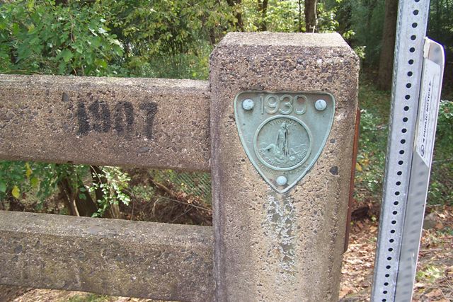
Virginia plaque.
![]()
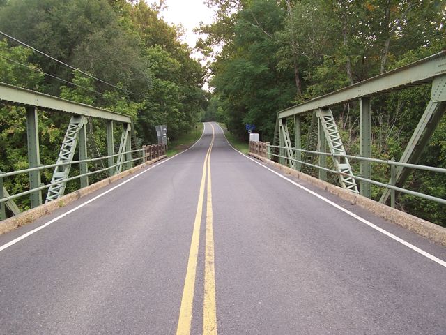

Portal views on bridge.
![]()

Top chord connection.
![]()

Vertical member.
![]()

View of truss web.
![]()
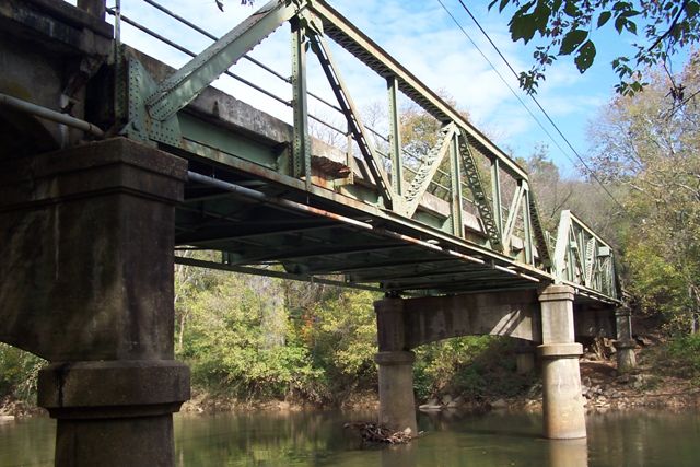
View beside bridge. Left to Right: Span 4 Culpeper side meeting Span 3 at Pier 3; Span 3; Middle of river is Pier 2, where Span 3 meets Span 2; Span 2: Far bank on Fauquier side has Pier 1, which meets Span 1 (only its railing visible). Overhead wires and wire-bearing conduit cross the river only on the downstream side of the bridge.
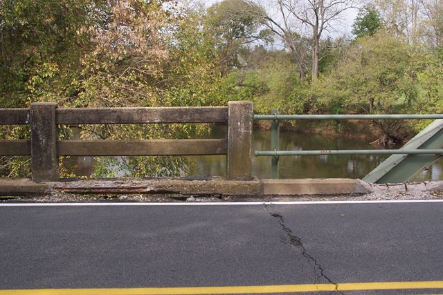
![]()
Approach span.
![]()

View from bridge. Nearby railroad truss bridge is visible. The downstream railing of Bridge #1907 is in the foreground.
![]()

Culpeper side, along the east side of Business Rt. 15/29, adjacent to Bridge #1907 and the Rappahannock River (which are both to the left of this view): Pool where the canal boats (circa 1840-1860) docked to load and unload Remington-area goods.
![]()
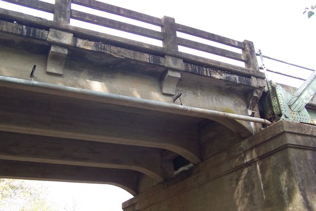
View contrasting the approach and main span railings. View looking toward the preserved Rappahan-nock Station Civil War battlefield.
![]()

"Stilling Well" holds a real-time data-transmitting USGS River Gauge powered by a small solar panel. Bridge #1907 is in the background.
![]()
![]()
| Back |
| Home |
| Top |

![]()