

View Information About HSR Ratings
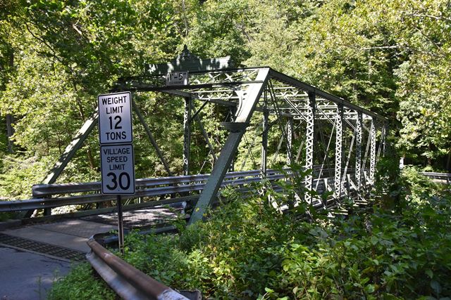
This bridge is noteworthy as a product of Dean and Westbrook, however it has been the victim of some very low quality repairs. Someone decided to replace a large number of the lacing bars on the vertical members. Normal procedure would be to take bar, measure equal lengths out, and cut using shop equipment. The new bars are not all the same length so some extend beyond the channel while others dont even cover the whole channel flange. Worse, the ends of the replaced bars look like a beaver chewed them (perhaps a cutting torch was used?!) and they were all crudely welded onto the bridge. Other welded alterations are also visible. Whoever did these repairs appears to have tried to sign their name using welding rod on the end post. Luckily for them, its barely legible! The repairs are so bad, it would be interesting to know if there is a story behind them!
In short, this is a really nice Dean and Westbrook truss composed using traditional members (the company often built Phoenix Column bridges, of which this is not an example). Phoenix Iron did provide the steel for the bridge however, as Phoenix brands are visible on the channels. However, the alterations have somewhat diminished the significance of the bridge, although the bridge still remains a notable historic bridge.
The 1894 date plaque was originally located under the portal bracing beneath the main builder plaque. It has been moved to the end post, perhaps to protect it from damage from overheight vehicles.
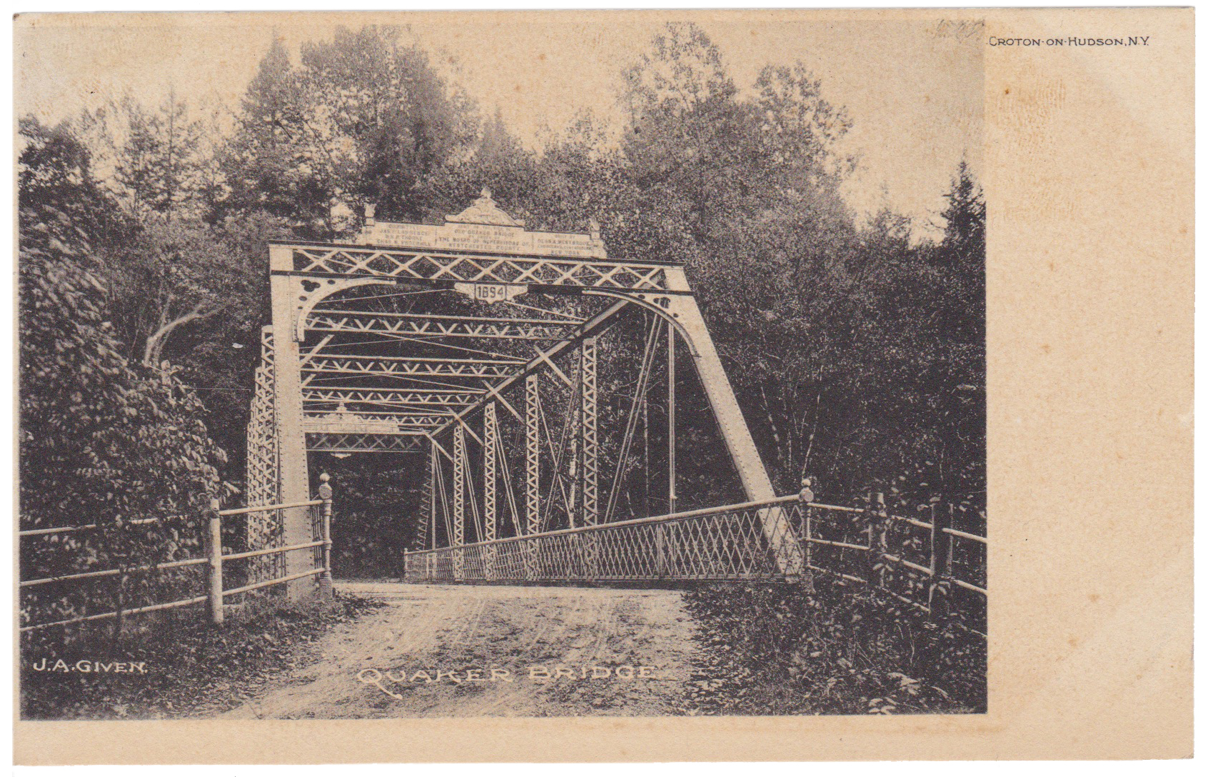
Above: Historical photo showing bridge prior to alteration.
![]()
![]()
![]()
Coordinates (Latitude, Longitude):
Search For Additional Bridge Listings:
Bridgehunter.com: View listed bridges within 0.5 miles (0.8 kilometers) of this bridge.
Bridgehunter.com: View listed bridges within 10 miles (16 kilometers) of this bridge.
Additional Maps:
Google Streetview (If Available)
GeoHack (Additional Links and Coordinates)
Apple Maps (Via DuckDuckGo Search)
Apple Maps (Apple devices only)
Android: Open Location In Your Map or GPS App
Flickr Gallery (Find Nearby Photos)
Wikimedia Commons (Find Nearby Photos)
Directions Via Sygic For Android
Directions Via Sygic For iOS and Android Dolphin Browser
USGS National Map (United States Only)
Historical USGS Topo Maps (United States Only)
Historic Aerials (United States Only)
CalTopo Maps (United States Only)

© Copyright 2003-2024, HistoricBridges.org. All Rights Reserved. Disclaimer: HistoricBridges.org is a volunteer group of private citizens. HistoricBridges.org is NOT a government agency, does not represent or work with any governmental agencies, nor is it in any way associated with any government agency or any non-profit organization. While we strive for accuracy in our factual content, HistoricBridges.org offers no guarantee of accuracy. Information is provided "as is" without warranty of any kind, either expressed or implied. Information could include technical inaccuracies or errors of omission. Opinions and commentary are the opinions of the respective HistoricBridges.org member who made them and do not necessarily represent the views of anyone else, including any outside photographers whose images may appear on the page in which the commentary appears. HistoricBridges.org does not bear any responsibility for any consequences resulting from the use of this or any other HistoricBridges.org information. Owners and users of bridges have the responsibility of correctly following all applicable laws, rules, and regulations, regardless of any HistoricBridges.org information.
![]()