

View Information About HSR Ratings
Additional Information: The construction of this bridge was also overseen by an advisory board of engineers including many famous engineers including: J. E. Greiner, W. J. Douglass (Parsons, Klapp, Brinckerhoff and Douglass), Shortridge Hardesty (Waddel and Hardesty) and E. K. Morse (Assumed to be Edwin Kirtland Morse, originally of Morse Bridge Company of Youngstown, Ohio).

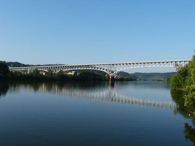
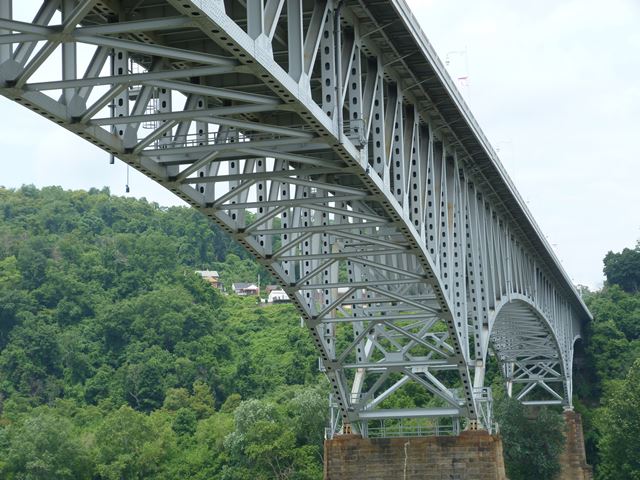
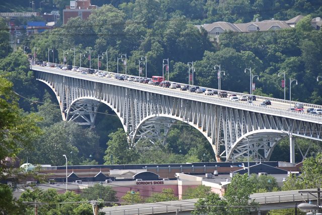
This bridge is an extremely long bridge that is noted for the rare Wichert truss design. This modification of the traditional continuous/cantilever design is noted for an unusual design above the piers of the bridge, where the truss has a special shape that was designed to mitigate some of the problems that were involved with the design of continuous truss bridges in the first half of the 20th Century. The trusses on a Wichert take the shape of a rhombus over each pier.
Take a look at this page to learn more about this bridge and the Wichert design.

|
Main Plaque (As Proposed In Original Plans) COUNTY OF ALLEGHENYBROWN'S HILL ROAD BUILT - 1937 COMMISSIONERS JNO. J. KANE GEO. RANKIN JR. JOHN S. HERRON CONTROLLER ROBERT G. WOODSIDE COUNTY DEPARTMENT OF WORKS JOHN F. LABOON DIRECTOR |
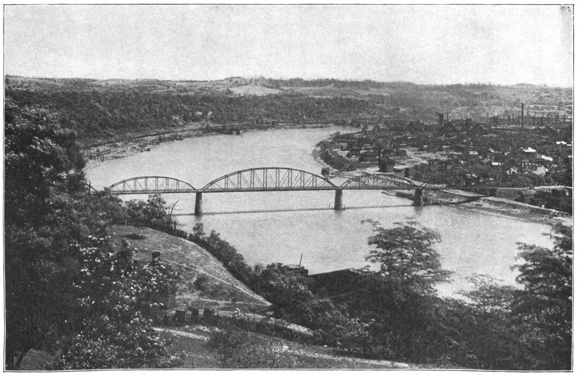
Above: Historical photo of the previous bridge at this location, which was built in 1897.
This bridge is tagged with the following special condition(s): Unorganized Photos
![]()
![]()
![]()
![]()
![]()
![]()
![]()
Coordinates (Latitude, Longitude):
Search For Additional Bridge Listings:
Bridgehunter.com: View listed bridges within 0.5 miles (0.8 kilometers) of this bridge.
Bridgehunter.com: View listed bridges within 10 miles (16 kilometers) of this bridge.
Additional Maps:
Google Streetview (If Available)
GeoHack (Additional Links and Coordinates)
Apple Maps (Via DuckDuckGo Search)
Apple Maps (Apple devices only)
Android: Open Location In Your Map or GPS App
Flickr Gallery (Find Nearby Photos)
Wikimedia Commons (Find Nearby Photos)
Directions Via Sygic For Android
Directions Via Sygic For iOS and Android Dolphin Browser
USGS National Map (United States Only)
Historical USGS Topo Maps (United States Only)
Historic Aerials (United States Only)
CalTopo Maps (United States Only)

© Copyright 2003-2024, HistoricBridges.org. All Rights Reserved. Disclaimer: HistoricBridges.org is a volunteer group of private citizens. HistoricBridges.org is NOT a government agency, does not represent or work with any governmental agencies, nor is it in any way associated with any government agency or any non-profit organization. While we strive for accuracy in our factual content, HistoricBridges.org offers no guarantee of accuracy. Information is provided "as is" without warranty of any kind, either expressed or implied. Information could include technical inaccuracies or errors of omission. Opinions and commentary are the opinions of the respective HistoricBridges.org member who made them and do not necessarily represent the views of anyone else, including any outside photographers whose images may appear on the page in which the commentary appears. HistoricBridges.org does not bear any responsibility for any consequences resulting from the use of this or any other HistoricBridges.org information. Owners and users of bridges have the responsibility of correctly following all applicable laws, rules, and regulations, regardless of any HistoricBridges.org information.
![]()