

View Information About HSR Ratings
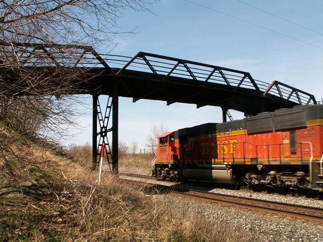
These unique bridges that cross this railroad in Noble County should be a rail-fan's delight, as these bridges cross an extremely busy railroad line.
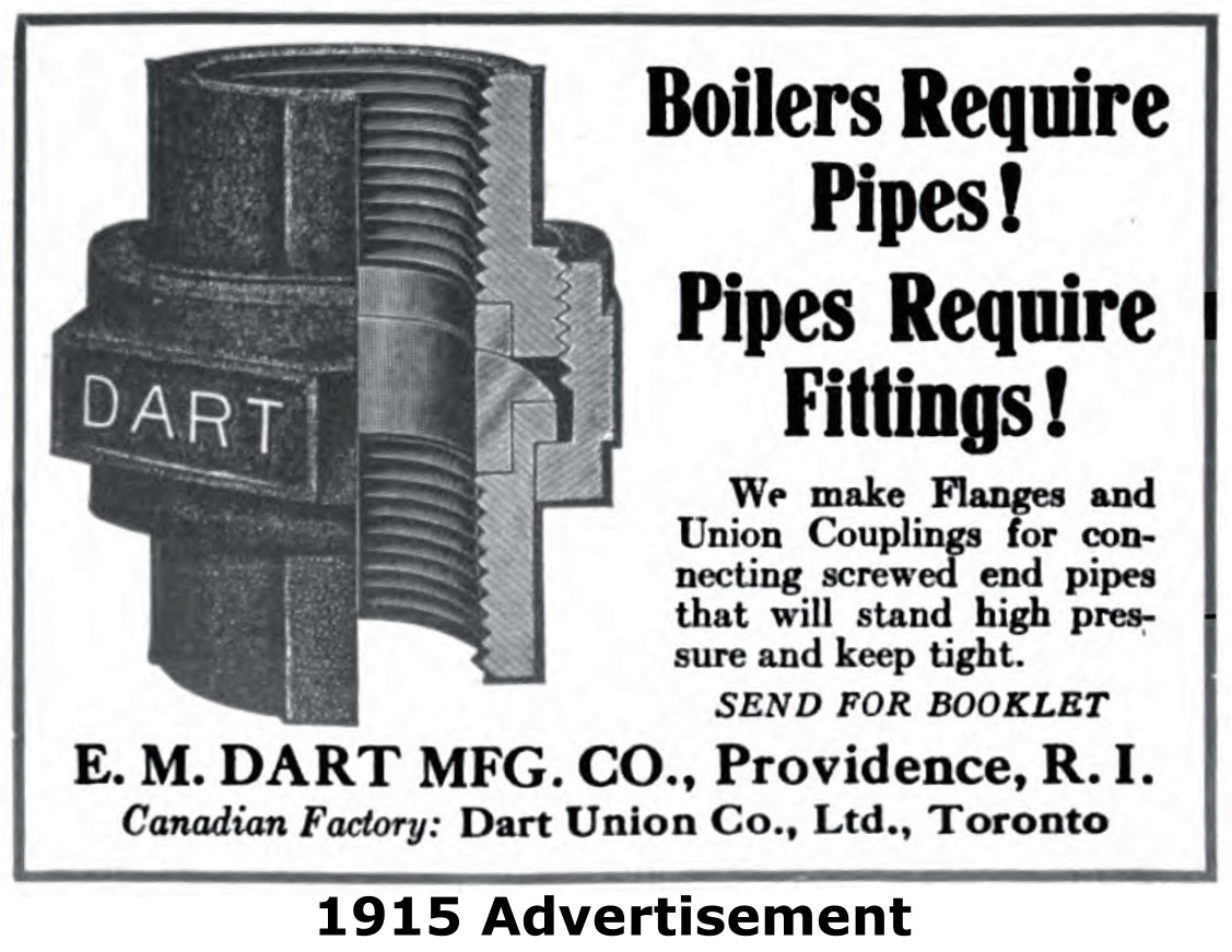
The bridge is a three span warren pony truss with riveted connections, composed of one main span and a shorter approach span at each end. The approach structures sit at a slight incline, something not commonly seen with other small metal truss bridges. The bridge is seated on concrete abutments, and the main span is supported by steel truss supports. V-lacing is present on the diagonals and on the bottom chord. The bridge is posted for a 6 ton weight limit. Original gas pipe railings remain on the bridge. These railings include couplings that have the name "Dart" on them which refers to E. M. Dart Manufacturing Company. An advertisement from the company is shown to the right.
This bridge seemed to have a steeper and higher elevation than some of the other similar bridges in the county, and county officials would likely site the horribly low visibility as a reason for demolishing this structure. However, a better option would be making the dirt approaches longer and less steep, and/or lowering speed limits for increased safety across the bridge. Under no circumstances should the demolition of such an interesting and beautiful structure be considered.
The bridge is listed as having a 10 degree skew. As a light amount of skew on a pony structure, this is not particularly noticeable.
Information and Findings From DHPA Historic Bridge SurveyStatement of Significance A number of features distinguish this bridge: the use of some pin connections, the absence of verticals, and the design of the endposts and top chords. The undecorated spans retain their original members. Architectural Description Concrete abutments and crafted I beam piers support the three-span Warren pony truss. The structure extends 106'8" in two triple and one quadruple panel span. The top chords and endposts are made from a pair of heavy angles riveted together with a cover plate and its diagonals from a pair of laced angles. Verticals are omitted. The I floor beams are U-bolted to gusset pins below the lower chord and carry the timber deck with its 16'9" roadway. Bridge Considered Historic By Survey: Yes |
This bridge is tagged with the following special condition(s): Unorganized Photos
![]()
![]()
![]()
![]()

![]()
Coordinates (Latitude, Longitude):
Search For Additional Bridge Listings:
Bridgehunter.com: View listed bridges within 0.5 miles (0.8 kilometers) of this bridge.
Bridgehunter.com: View listed bridges within 10 miles (16 kilometers) of this bridge.
Additional Maps:
Google Streetview (If Available)
GeoHack (Additional Links and Coordinates)
Apple Maps (Via DuckDuckGo Search)
Apple Maps (Apple devices only)
Android: Open Location In Your Map or GPS App
Flickr Gallery (Find Nearby Photos)
Wikimedia Commons (Find Nearby Photos)
Directions Via Sygic For Android
Directions Via Sygic For iOS and Android Dolphin Browser
USGS National Map (United States Only)
Historical USGS Topo Maps (United States Only)
Historic Aerials (United States Only)
CalTopo Maps (United States Only)

© Copyright 2003-2024, HistoricBridges.org. All Rights Reserved. Disclaimer: HistoricBridges.org is a volunteer group of private citizens. HistoricBridges.org is NOT a government agency, does not represent or work with any governmental agencies, nor is it in any way associated with any government agency or any non-profit organization. While we strive for accuracy in our factual content, HistoricBridges.org offers no guarantee of accuracy. Information is provided "as is" without warranty of any kind, either expressed or implied. Information could include technical inaccuracies or errors of omission. Opinions and commentary are the opinions of the respective HistoricBridges.org member who made them and do not necessarily represent the views of anyone else, including any outside photographers whose images may appear on the page in which the commentary appears. HistoricBridges.org does not bear any responsibility for any consequences resulting from the use of this or any other HistoricBridges.org information. Owners and users of bridges have the responsibility of correctly following all applicable laws, rules, and regulations, regardless of any HistoricBridges.org information.
![]()